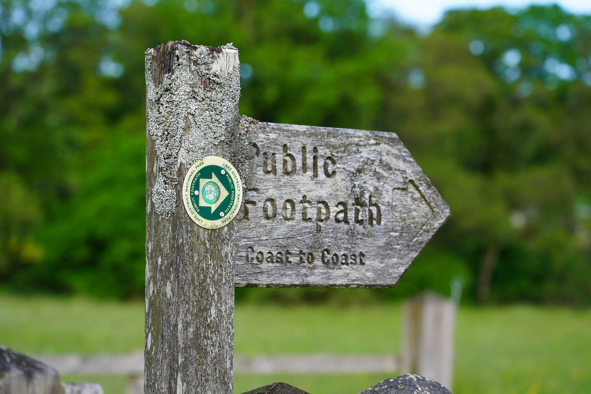
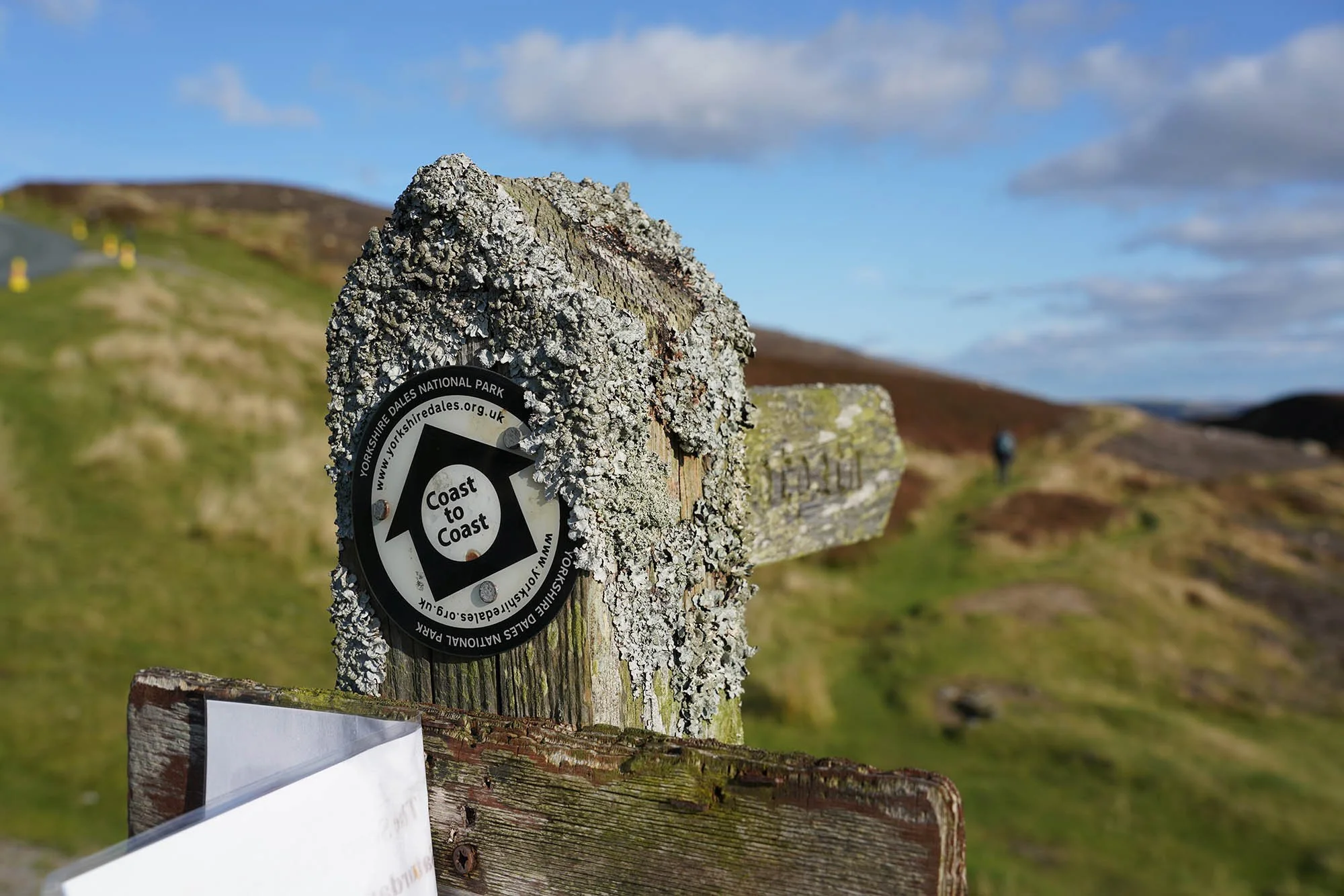
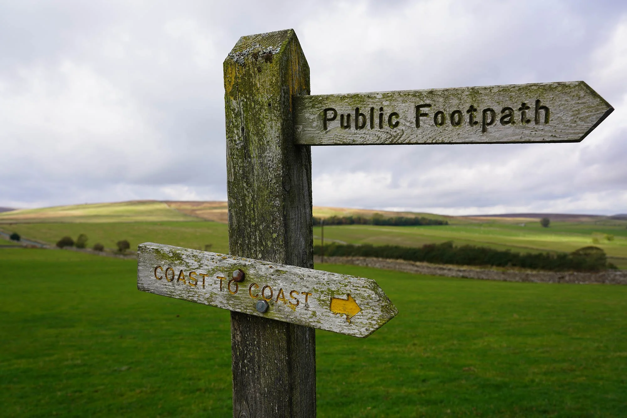
Coast to Coast
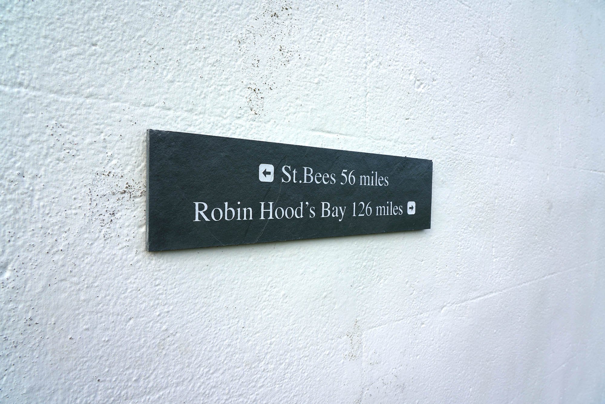
Start: St Bees Head, Cumbria
Finish: Robin Hoods Bay, Yorkshire
Distance: 192 Miles (309km)
Ascent: 8,571m (28,120ft)
Duration: 12 - 16 Days
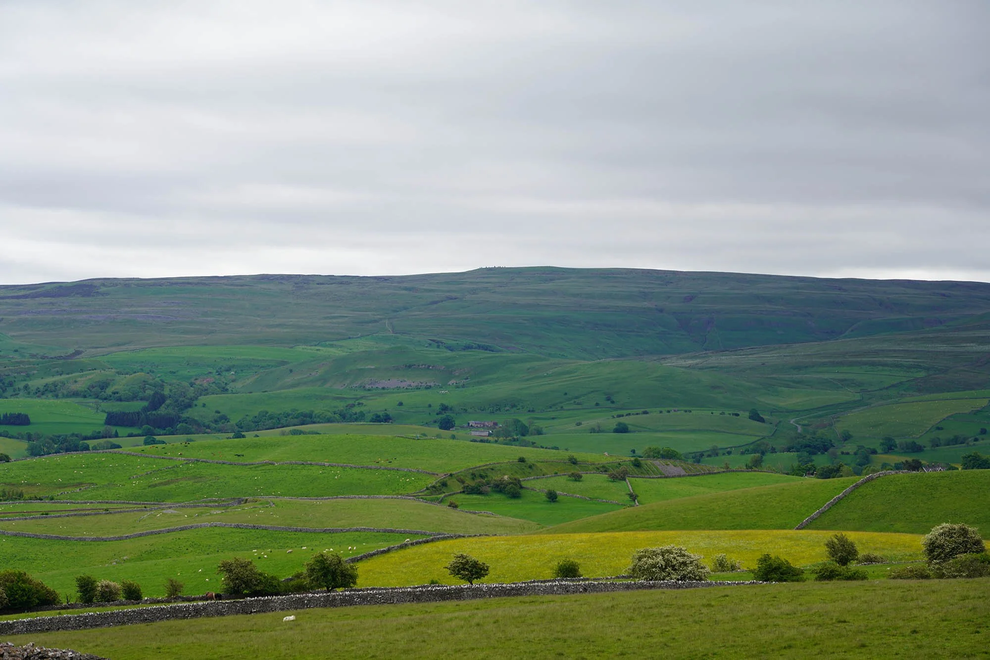
The Coast to Coast is one of the most recognisable and well known of all the long distance trails in the UK and has recently been ‘upgraded’ to a National Trail meaning more funding is provided to improve access and footpaths. The trail is usually walked from West to East, keeping the wind behind you most of the way. With literally hundreds of overnight stops to choose from, the route can be broken down over almost any amount of days but the most common being 14-16 Days.
We did our Coast to Coast slightly differently to most - as neither of us could get 2 weeks of work at the same time we opted to do the route over several trips of a few days at a time - meaning we get to experience the trail through the seasons.
Day 1: St Bees Head to Ennerdale Bridge - 24.6km (869m of Ascent)
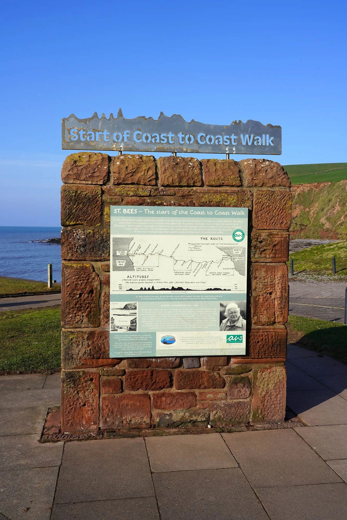
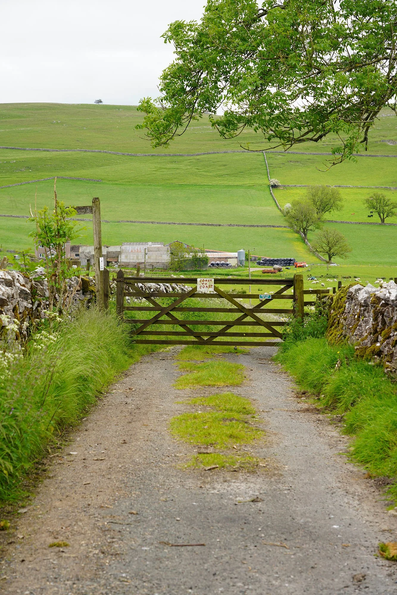
We arrived in St Bees just before 10am to set out on the first part of this amazing trail. This large plaque marks the official start of the Coast to Coast.
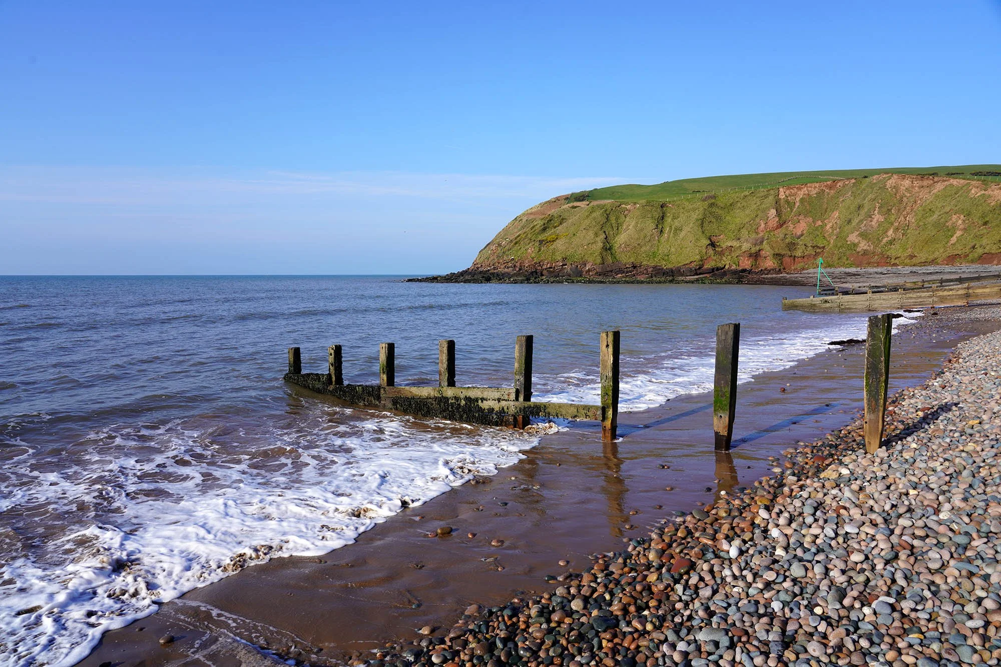
The Irish Sea at St Bees.
St Bees from the first clifftop.
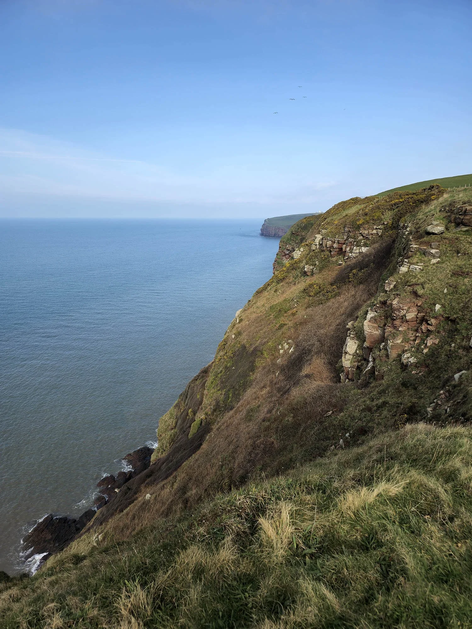
The opening few miles takes us along the clifftop coastal path towards St Bees Lighthouse.
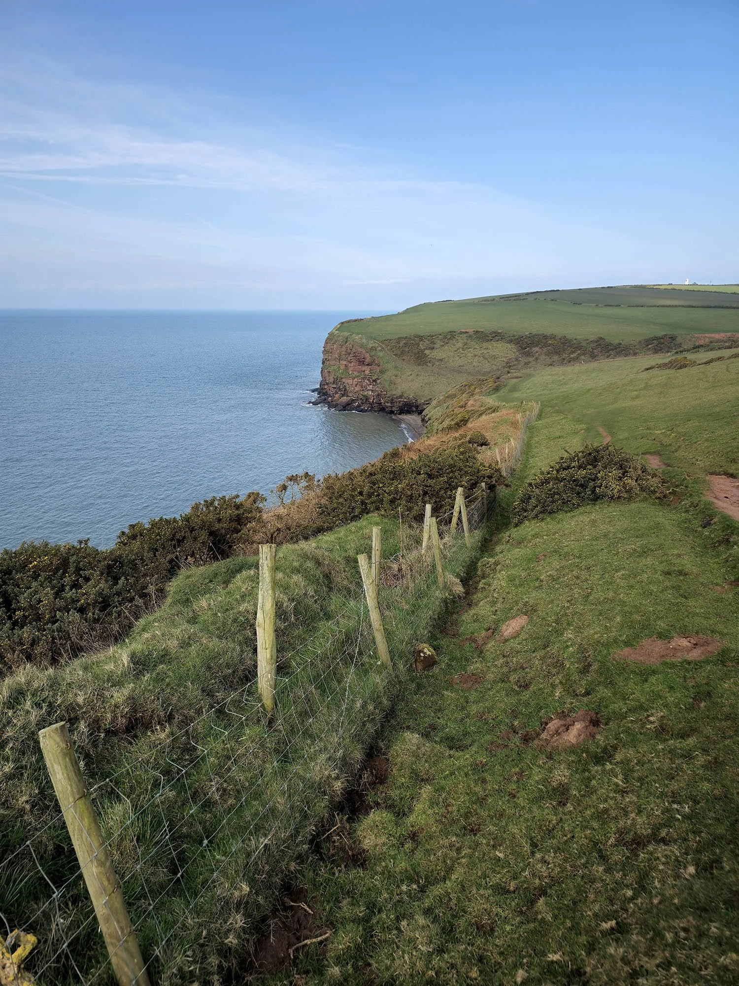
Enjoying the glorious start to the walk and we spent some time watching the sea birds too!
A little downhill and then uphill at Felswick Bay.
Felswick Bay.
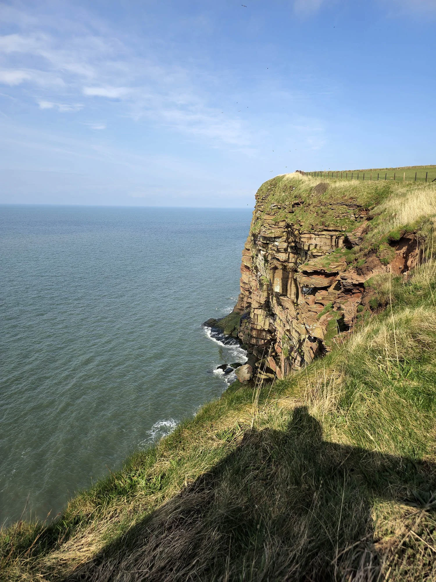
The RSPB own and protect the cliffs around St Bees Head.
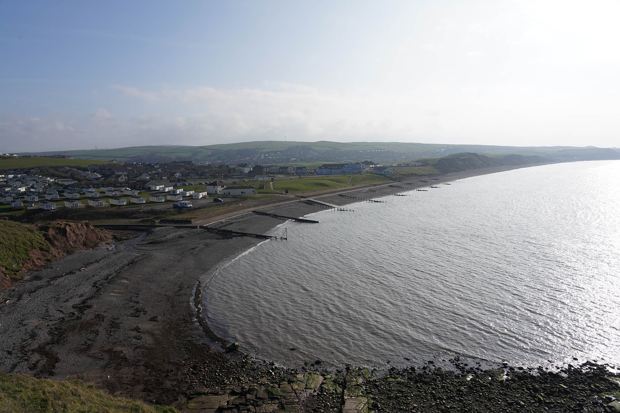
A view along the rest of the Cumbrian Coast.

Looking to Whitehaven.
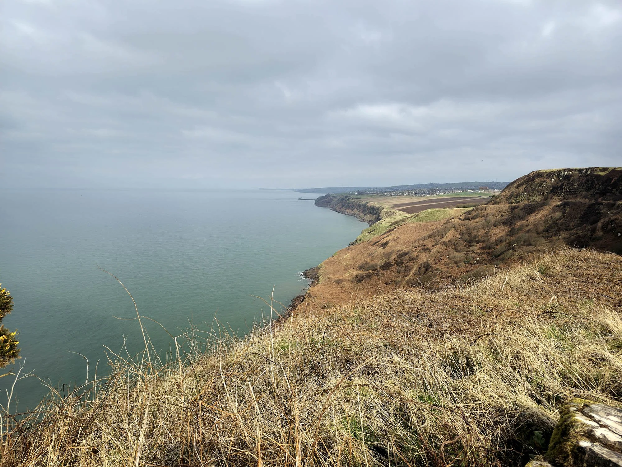
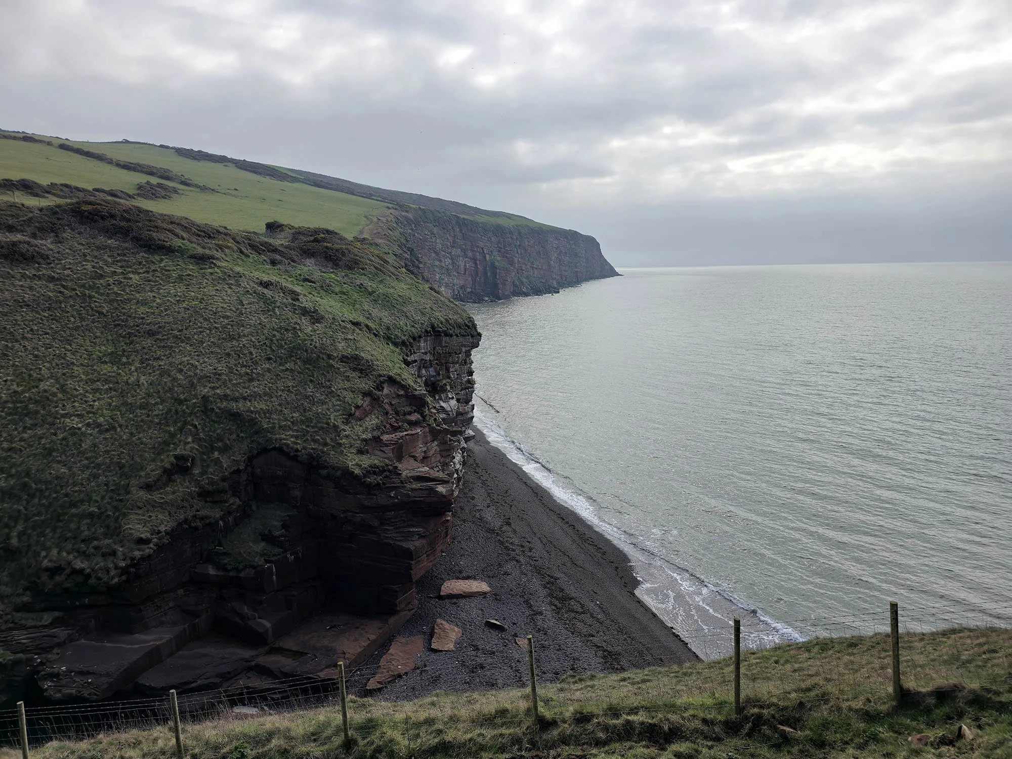
The final piece of Coastal Walking until we reach the North Sea in just under 190 miles time…
Crossing the road at Townhead with a view to the glorious Lakeland fells.

Entering Moor Row - 7 Miles done!
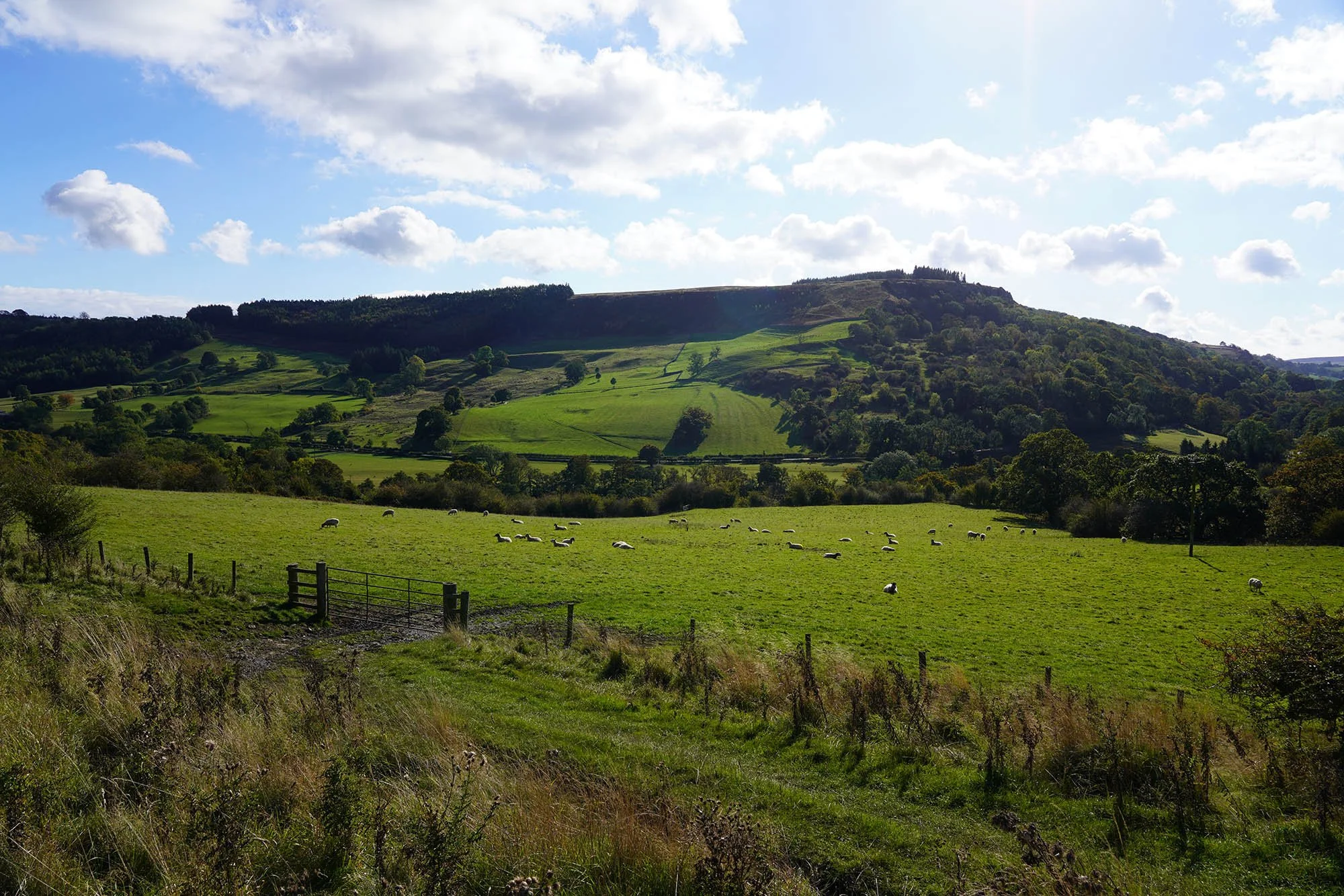
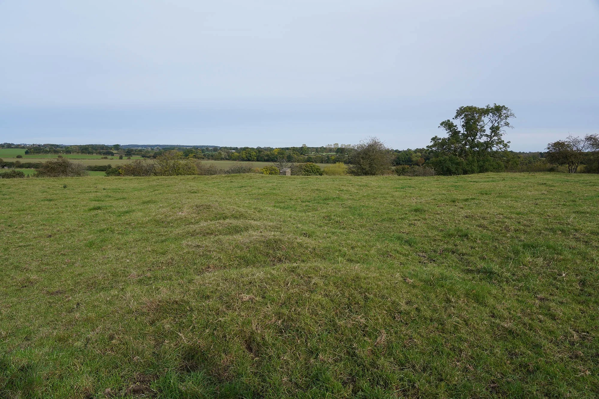
We sat here by the river in Cleator for a little while, had some lunch and snacks knowing full well we needed to summit Dent right ahead. A hill of only 352m doesn’t seem too hard a prospect - but we have already done 10 miles today and feeling a little tired!

And just like that we made it to the summit of Dent - here looking to the cliffs around St Bees.

Misty Lakeland fells ahead.

The true summit of Dent.

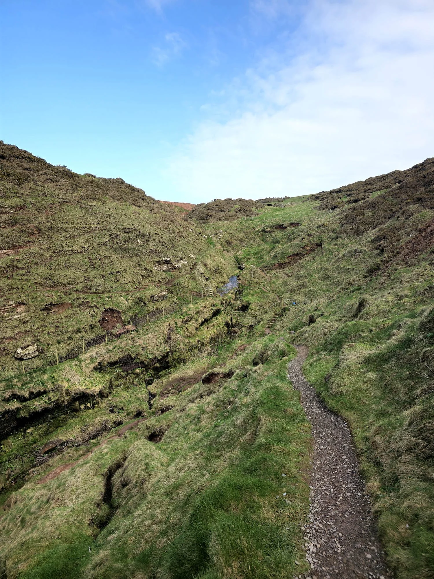
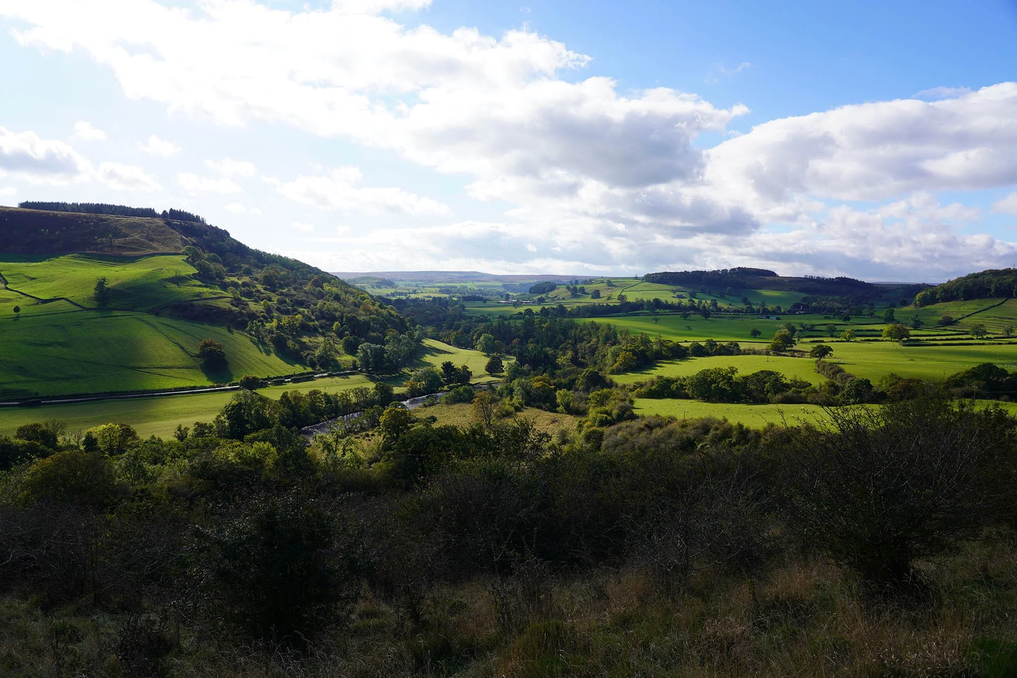
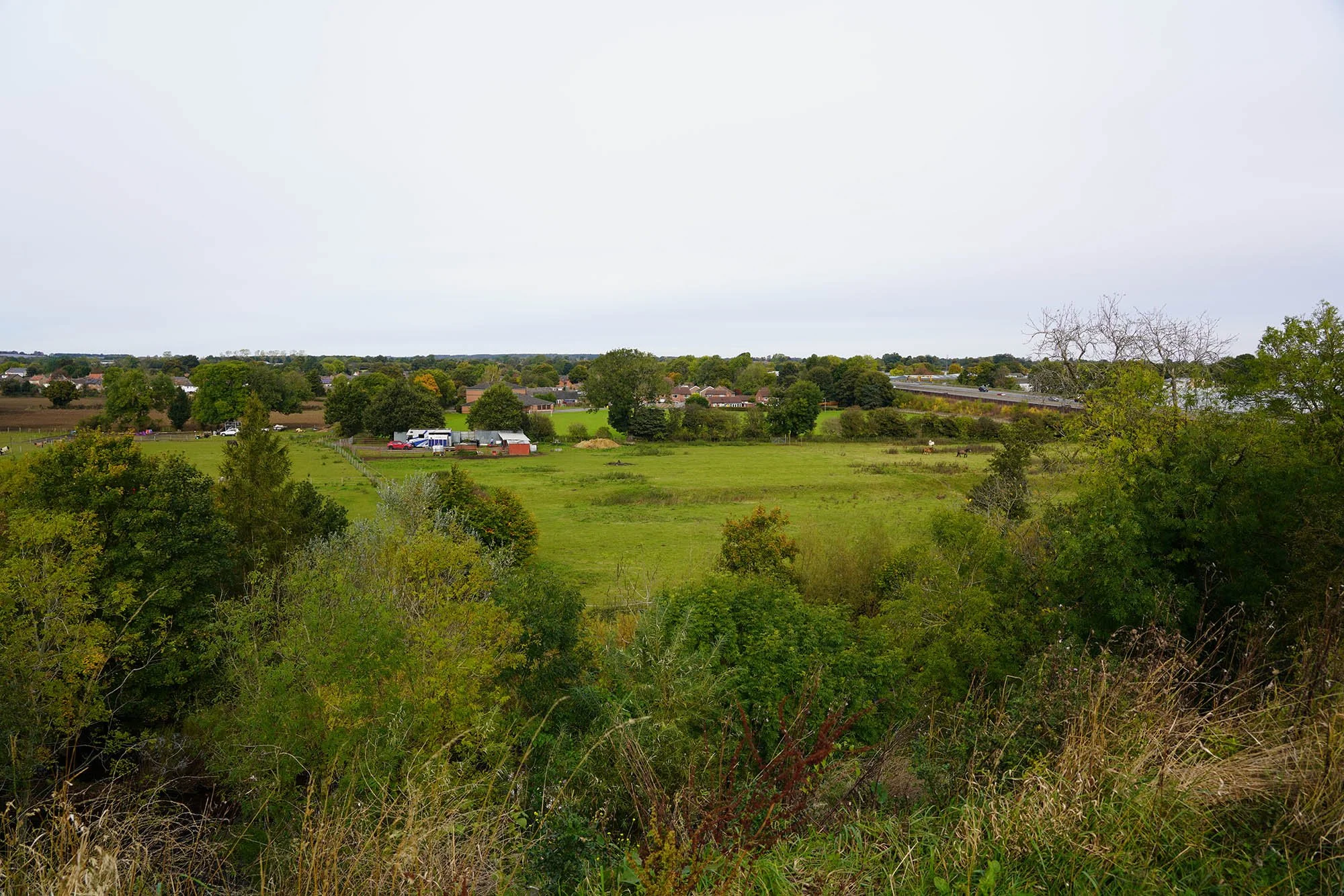
Down in the tiny valley of Nannycatch.

Nannycatch Gate and the entrance to Lakeland.
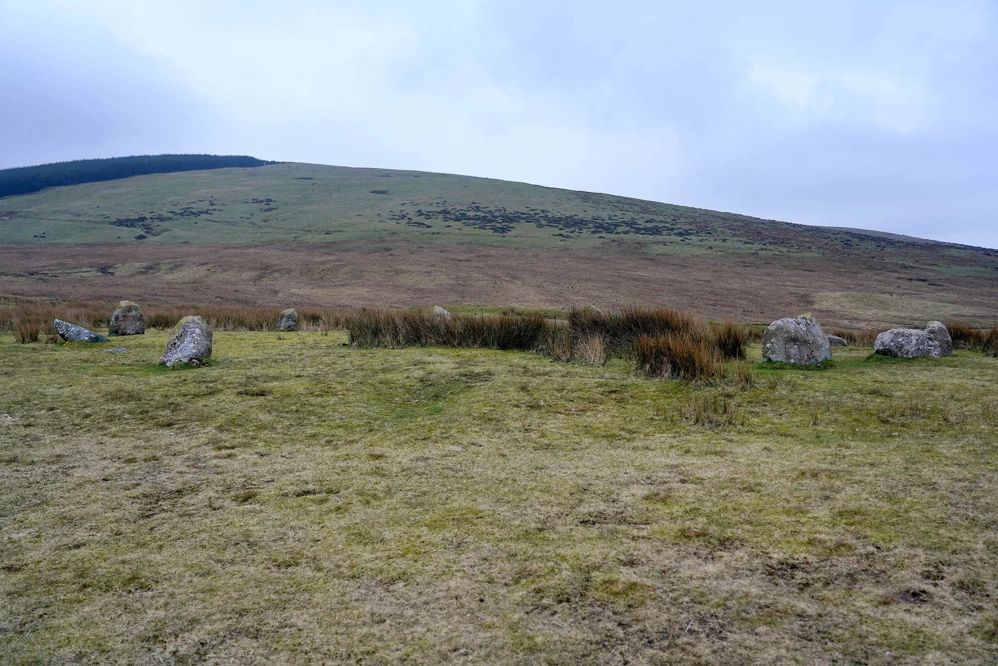
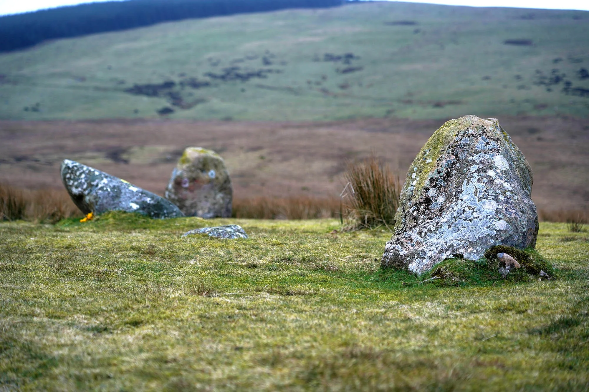
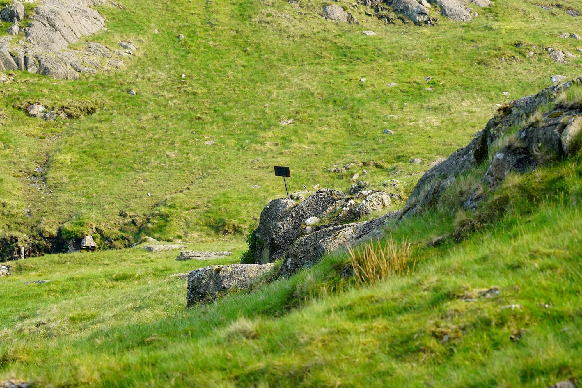
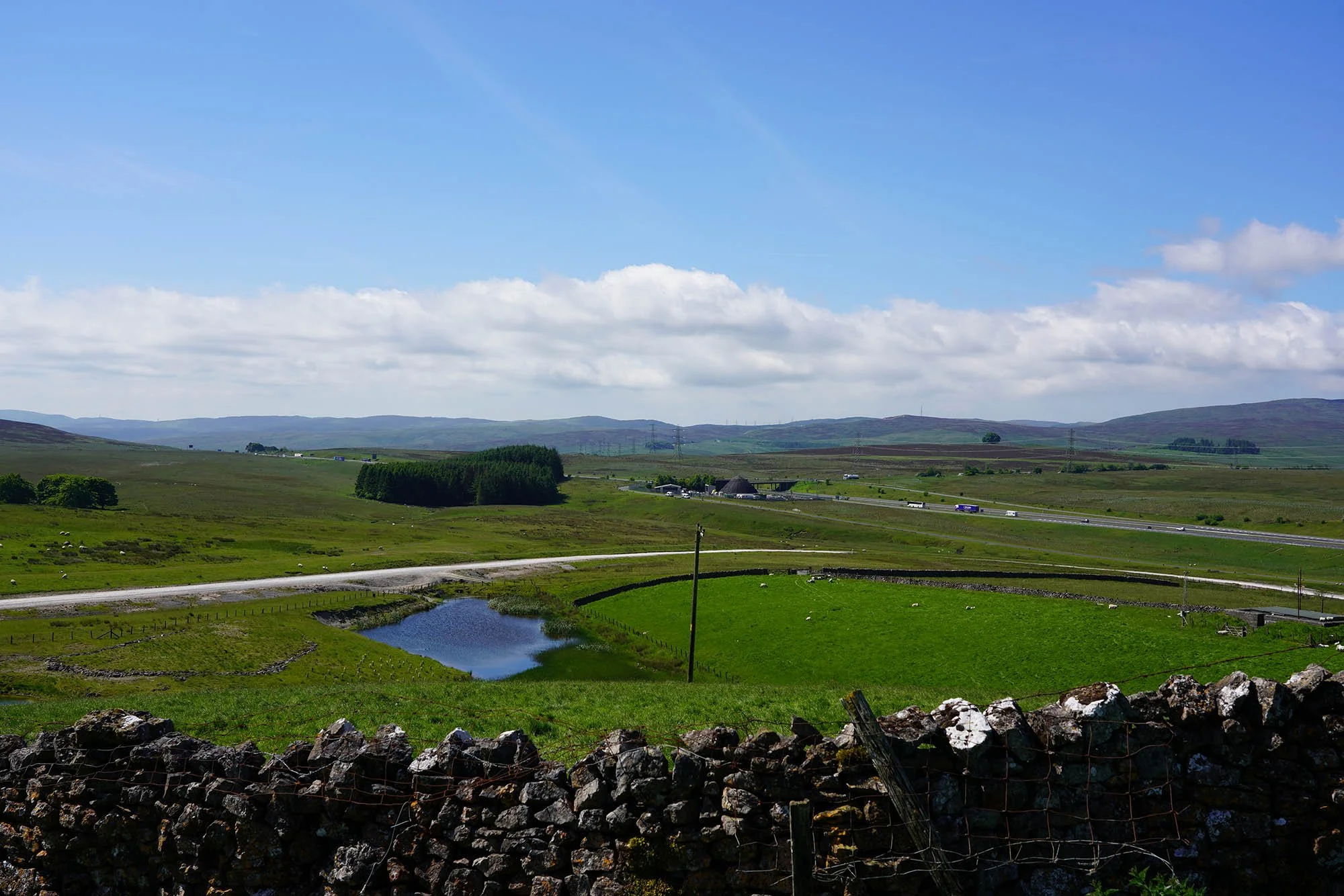
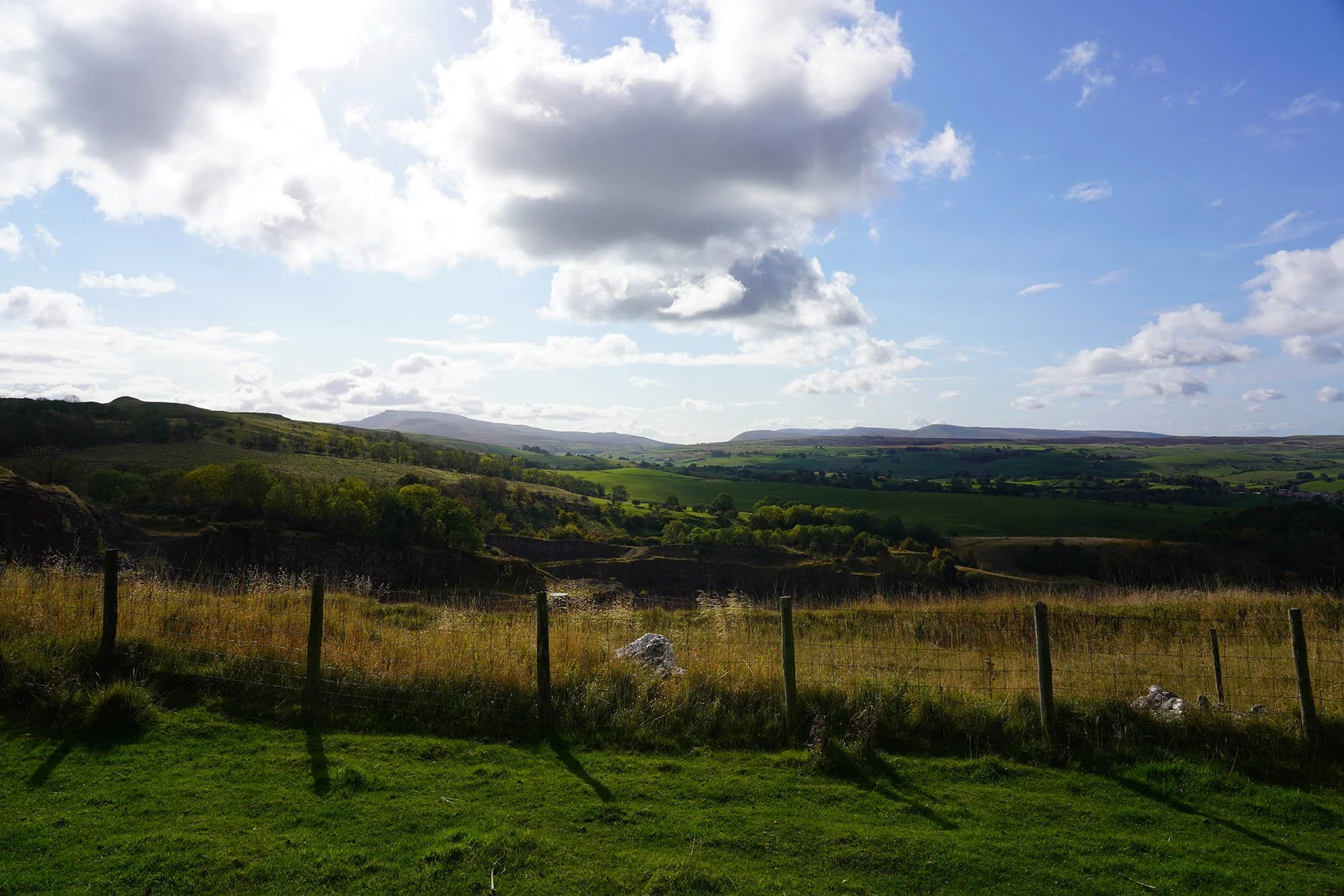
Blakeley Raise Stone Circle - Possibly Original and Reset in Victorian Times but uncomfirmed…
From here we descended the final mile or two into Ennerdale Bridge.
Day 2: Ennerdale Bridge to Rosthwaite - 25.2km (680m of Ascent)
09:30 and we leave Ennerdale Bridge bound for Rosthwaite. The forecast was for rain all day today…
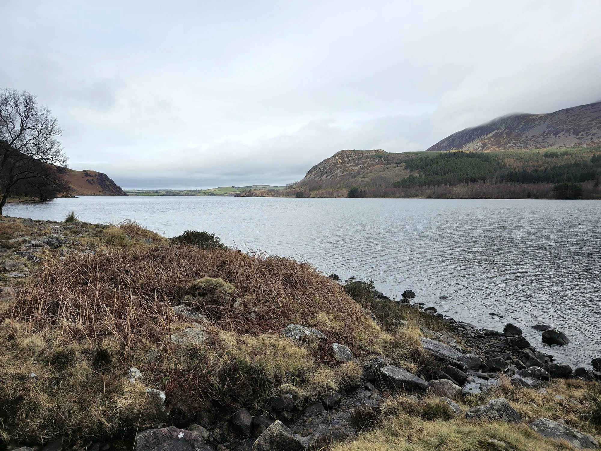
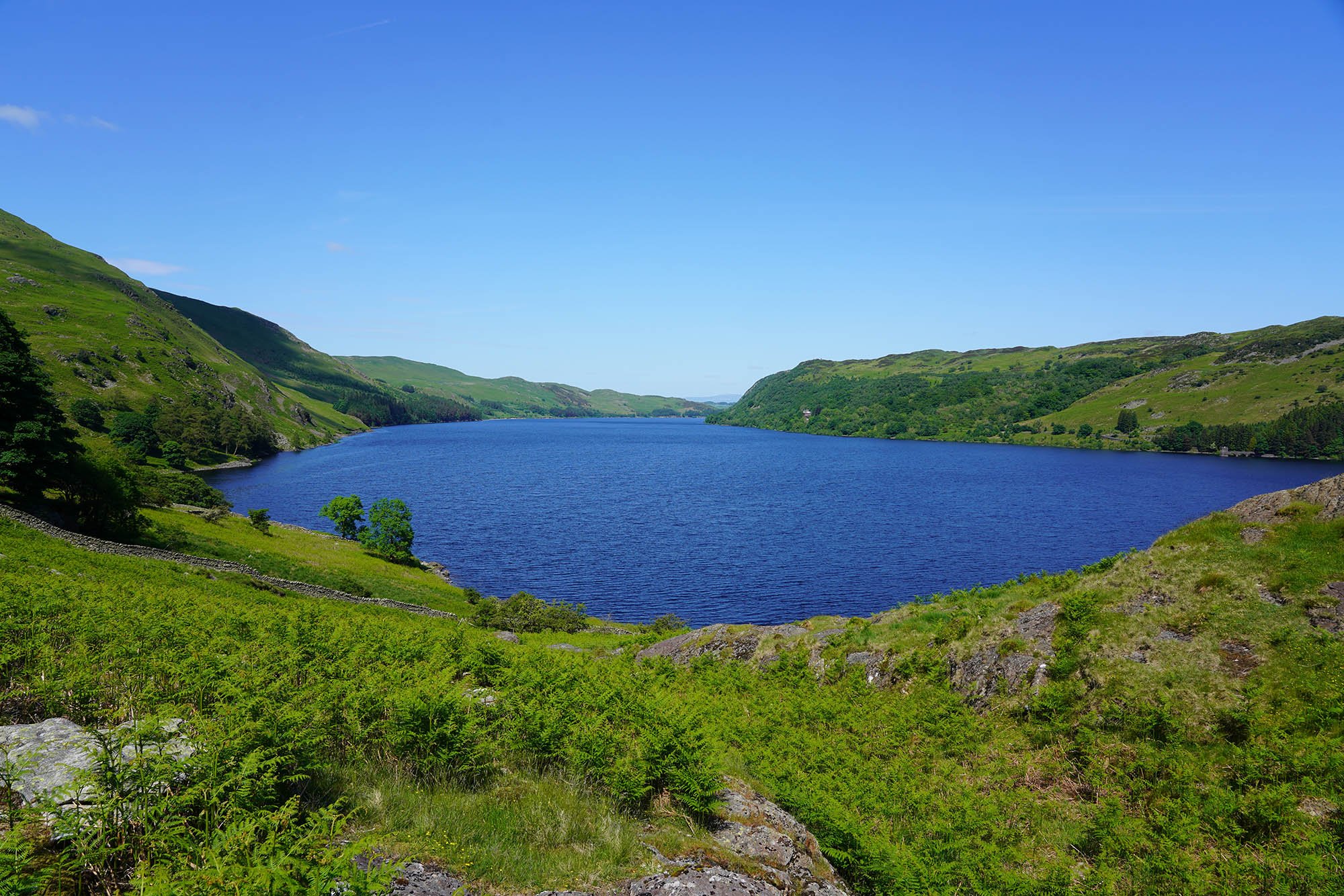
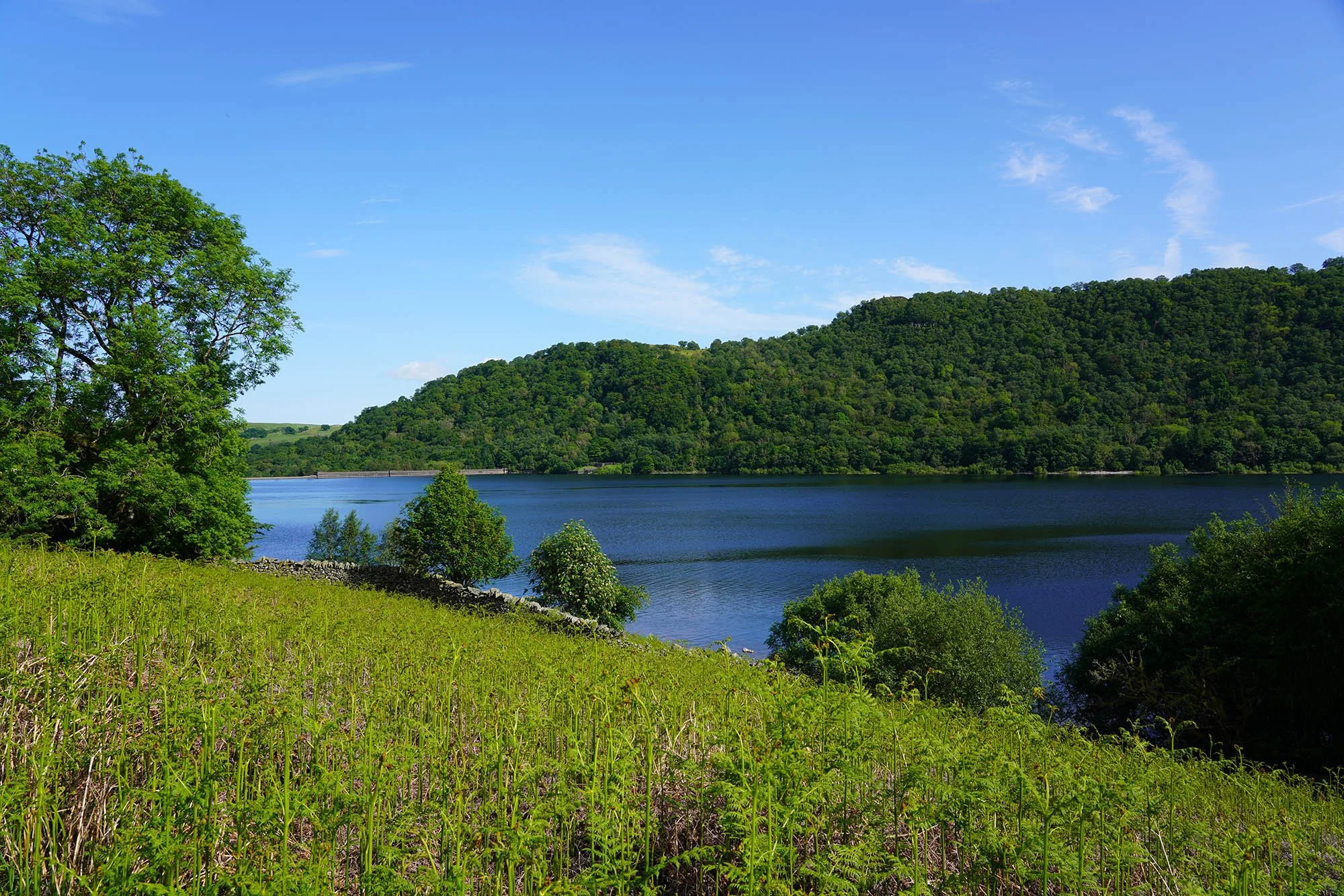
All looking moody at the shores of Ennerdale Water.
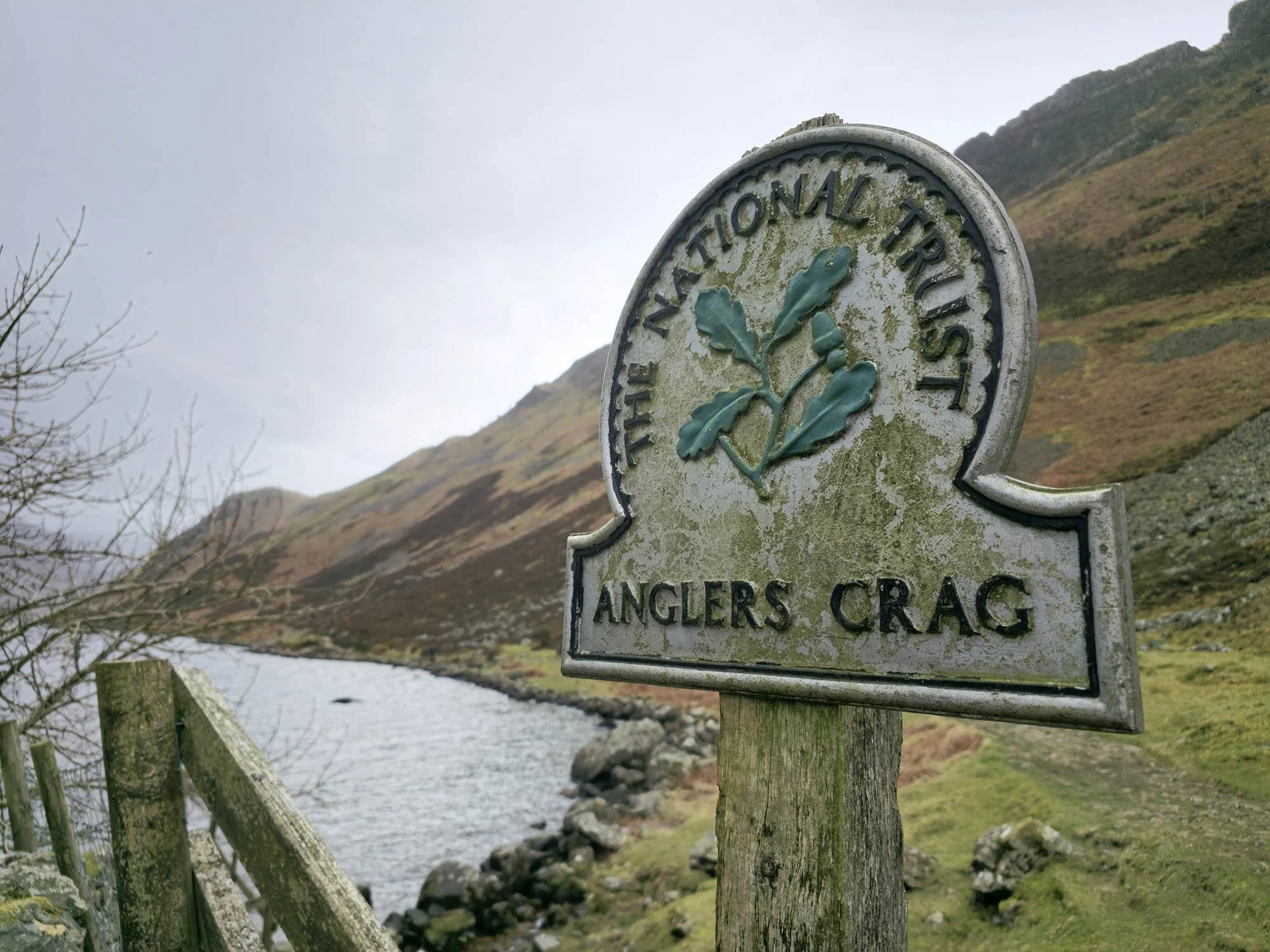
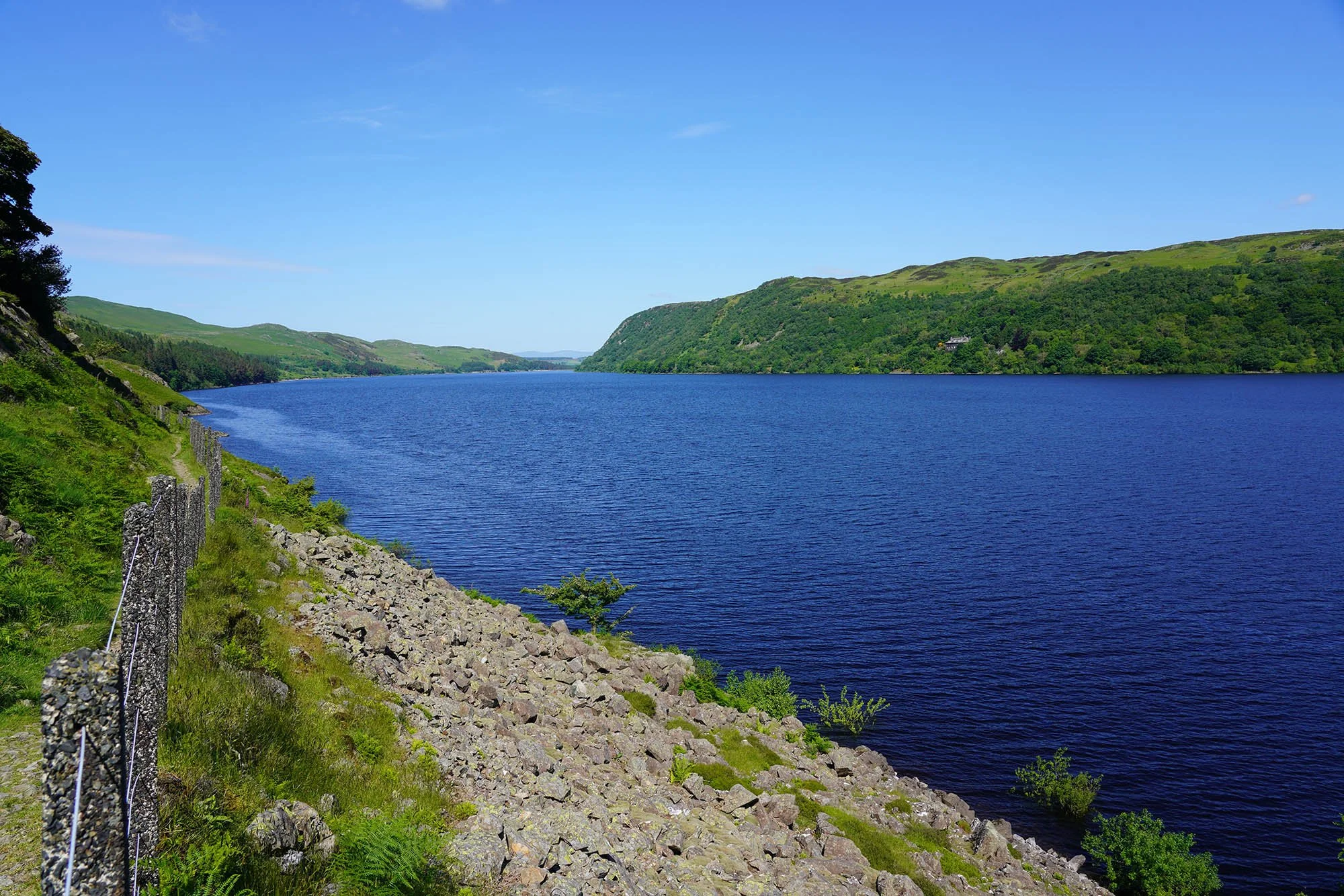
Following the lakeshore past Anglers Crag.
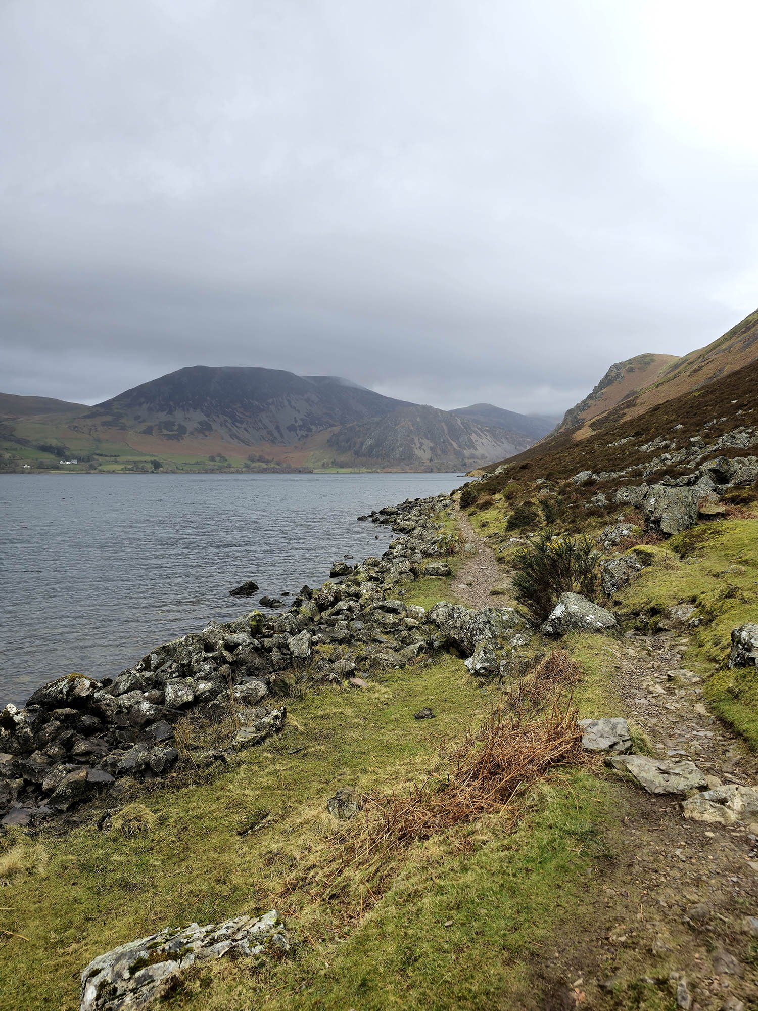
The lakeshore path - although fairly flat, was hard going for the last mile or so.
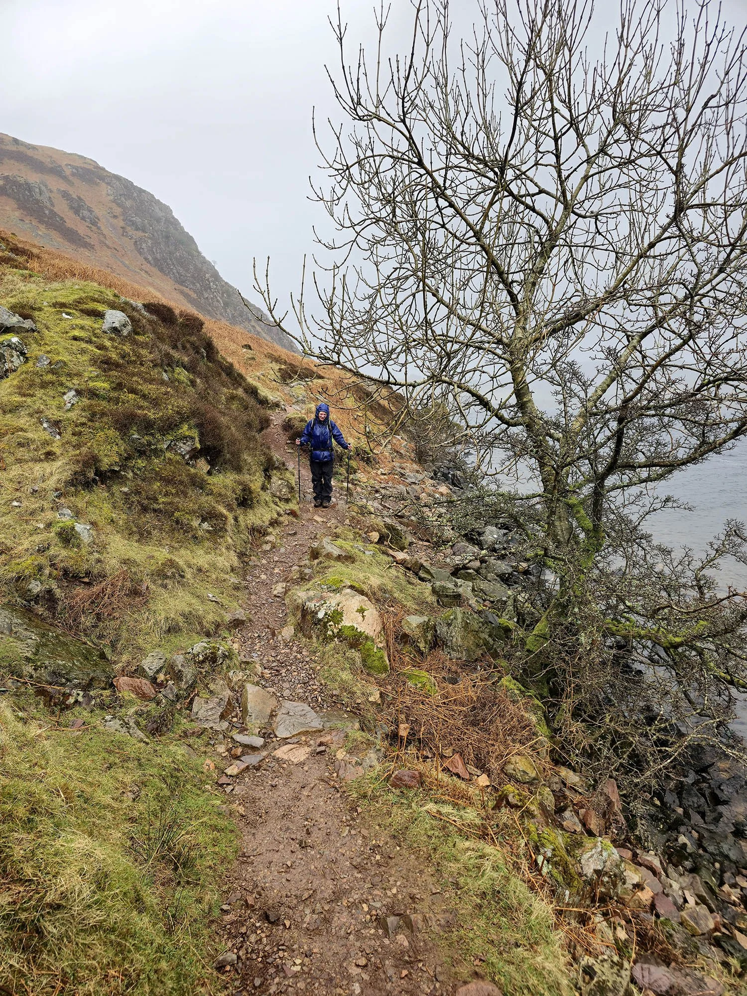
A solid hour of rain later.
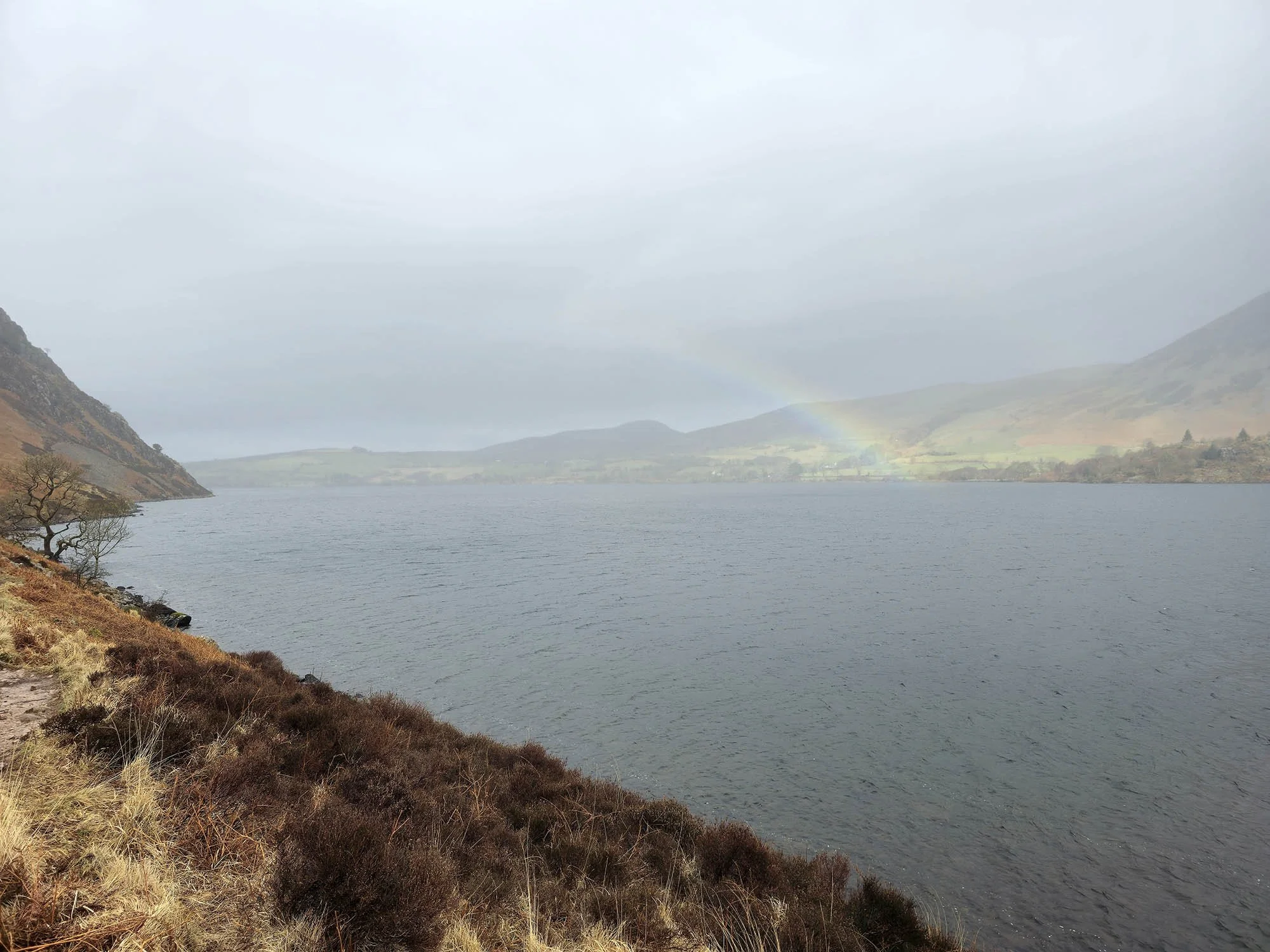
A brief break in the rain and a Rainbow over the Ennerdale Water.

Enjoying the lakeside walking now the rain has stopped!

Looking into Ennerdale.
And back to Bowness Knott - we are near the end of the lake here.
10 more minutes of lakeside walking.

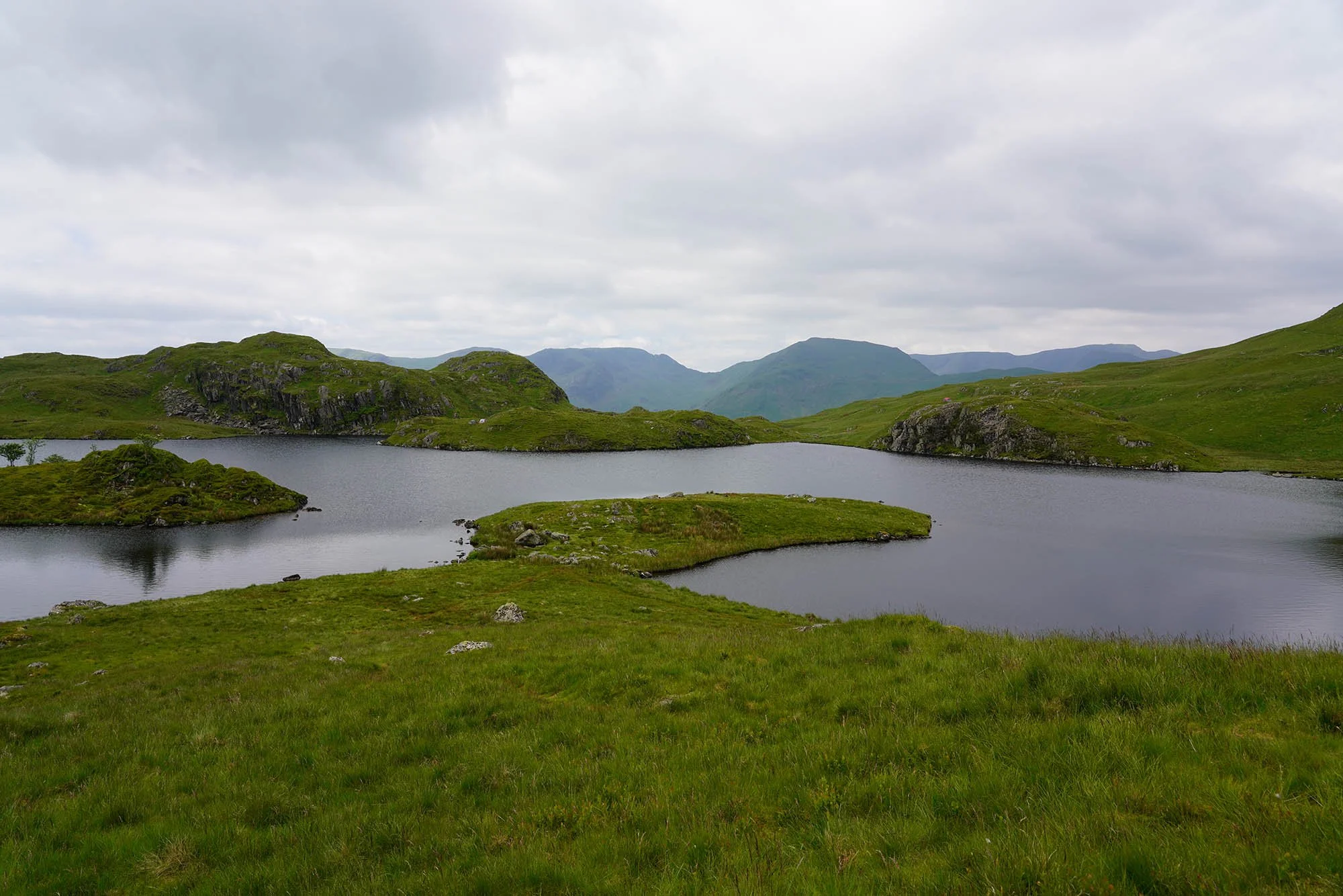
A panoramic shot from the head of the lake.
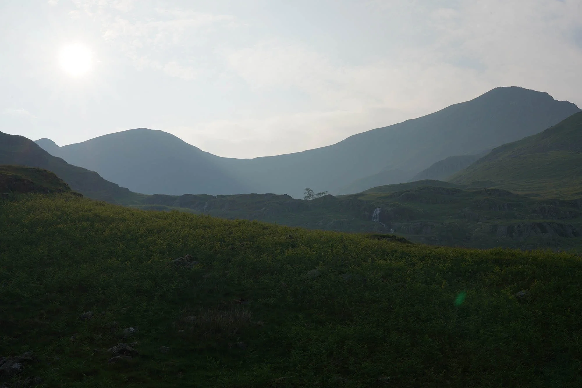
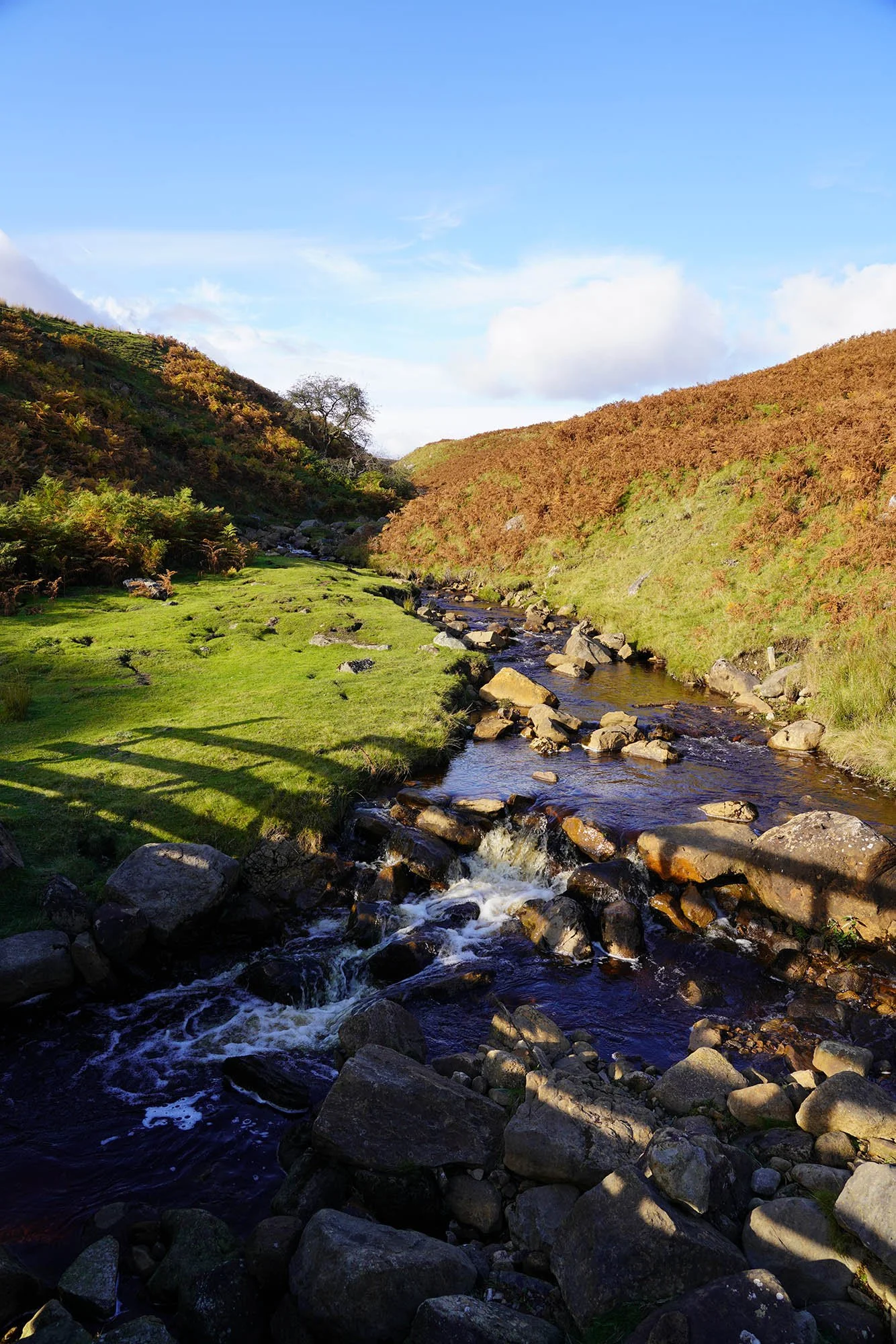
Crossing the crystal clear River Liza where we joined the track down the length of the valley.

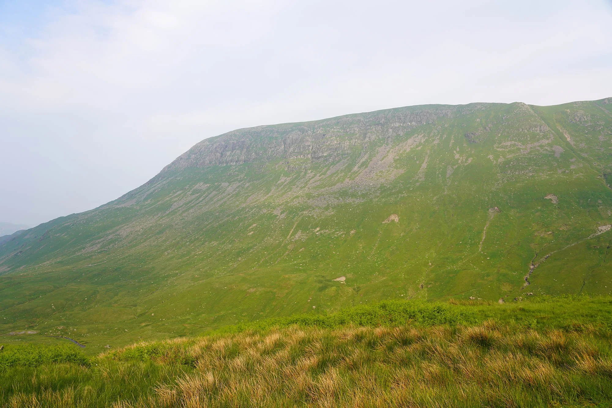
Lots of low misty cloud - here looking up to Pillar and Pillar Rock.
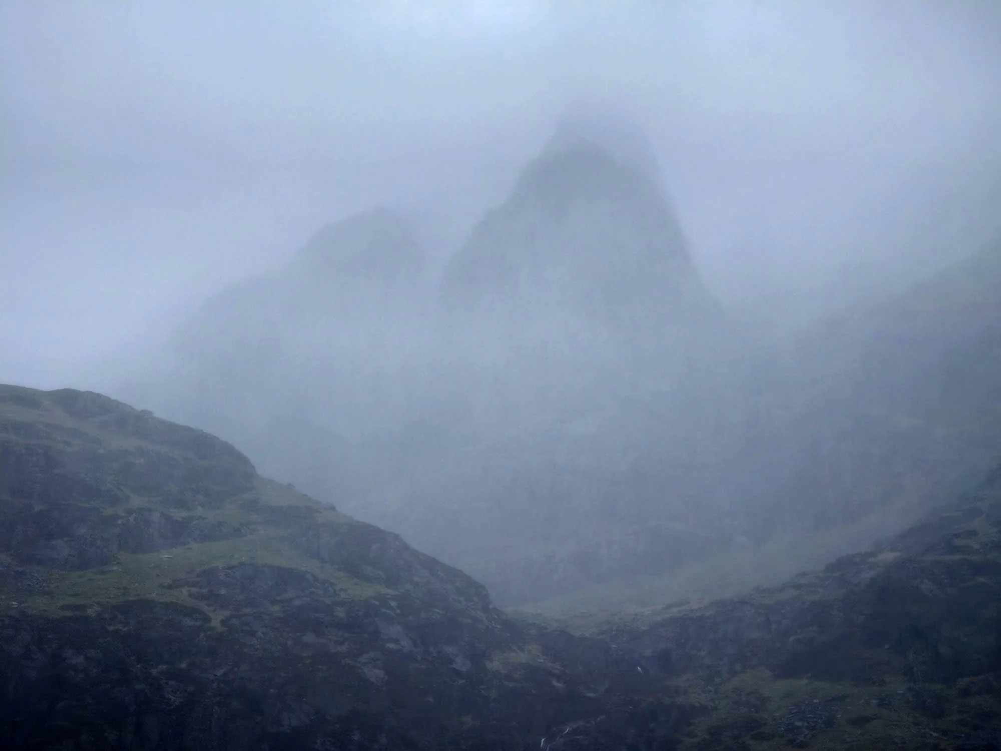
Pillar Rock through the mist.
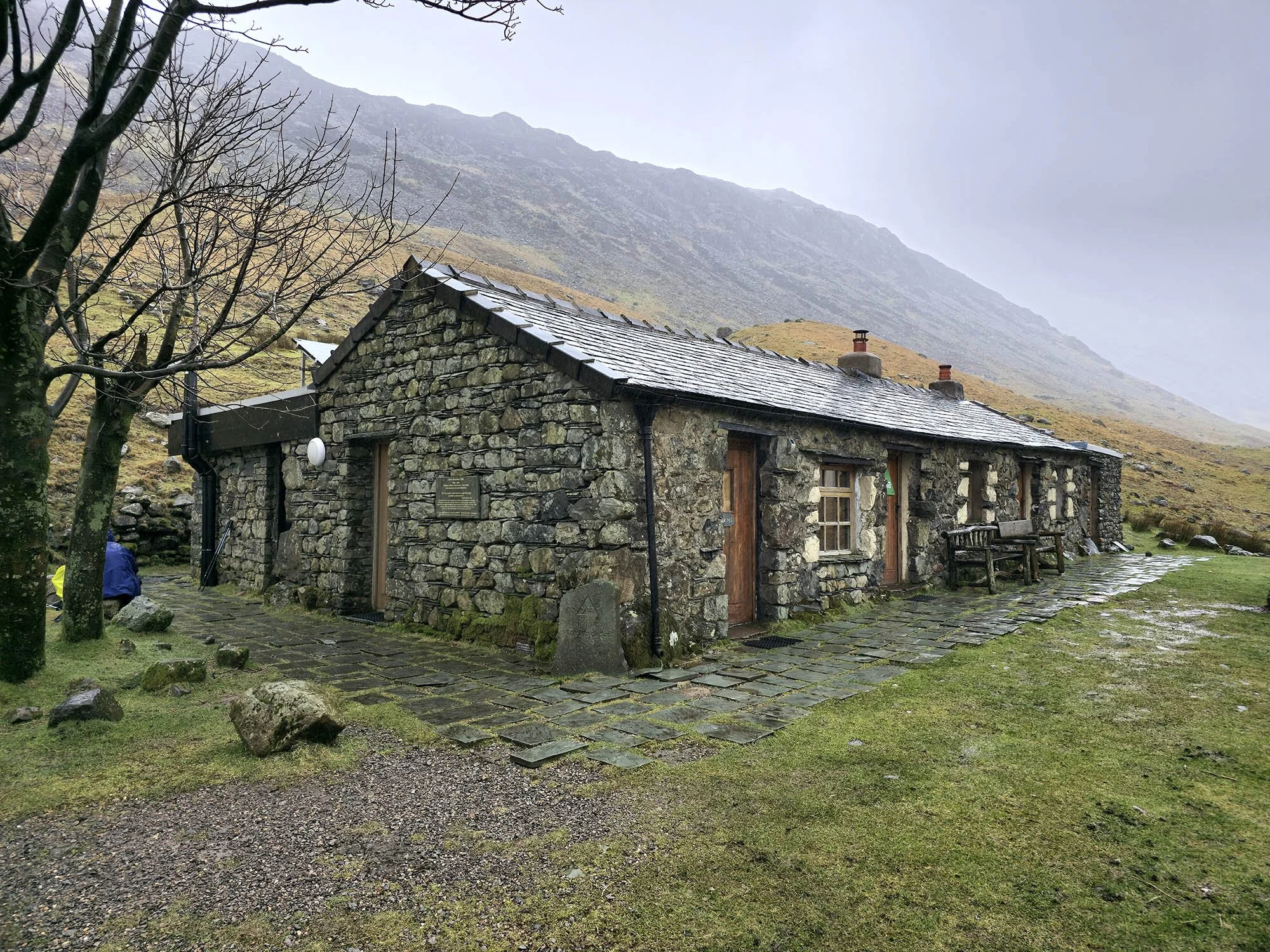
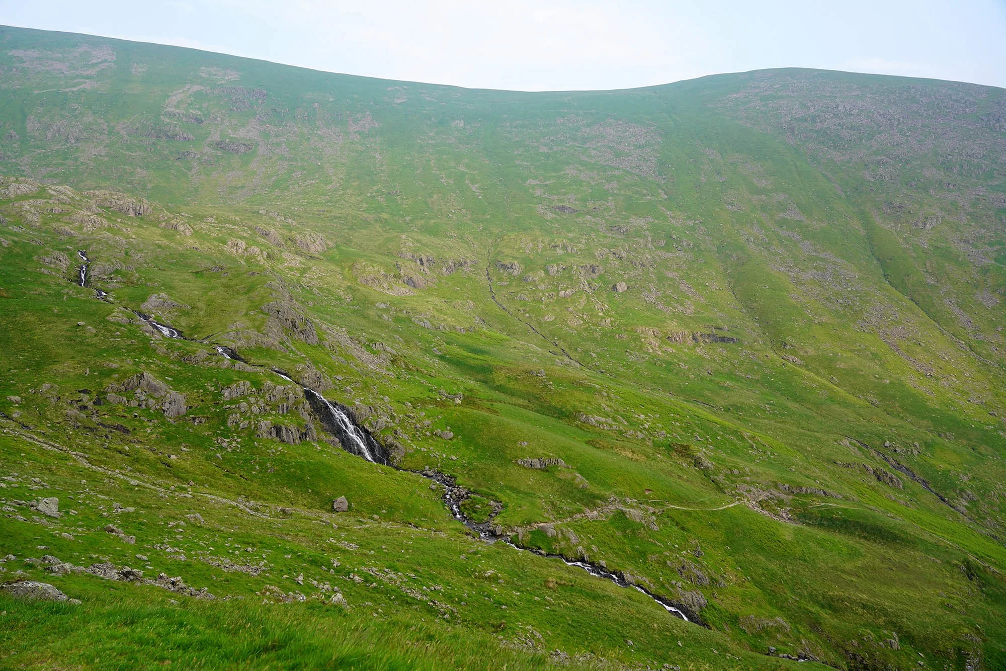
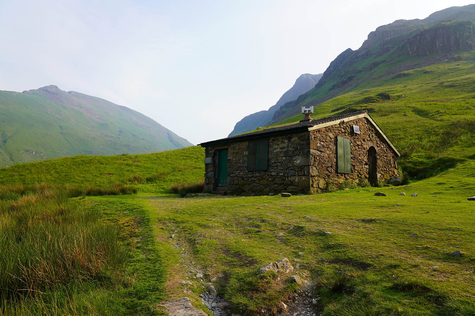
A place for a rest - Black Sail Youth Hostel - Closed to us but benches definitely used! We’ve done 9 miles today to get to this point and now we have to ascend up the side of the valley and onto the felltops!
Heading over to Loft Beck for the steep ascent out of the valley.

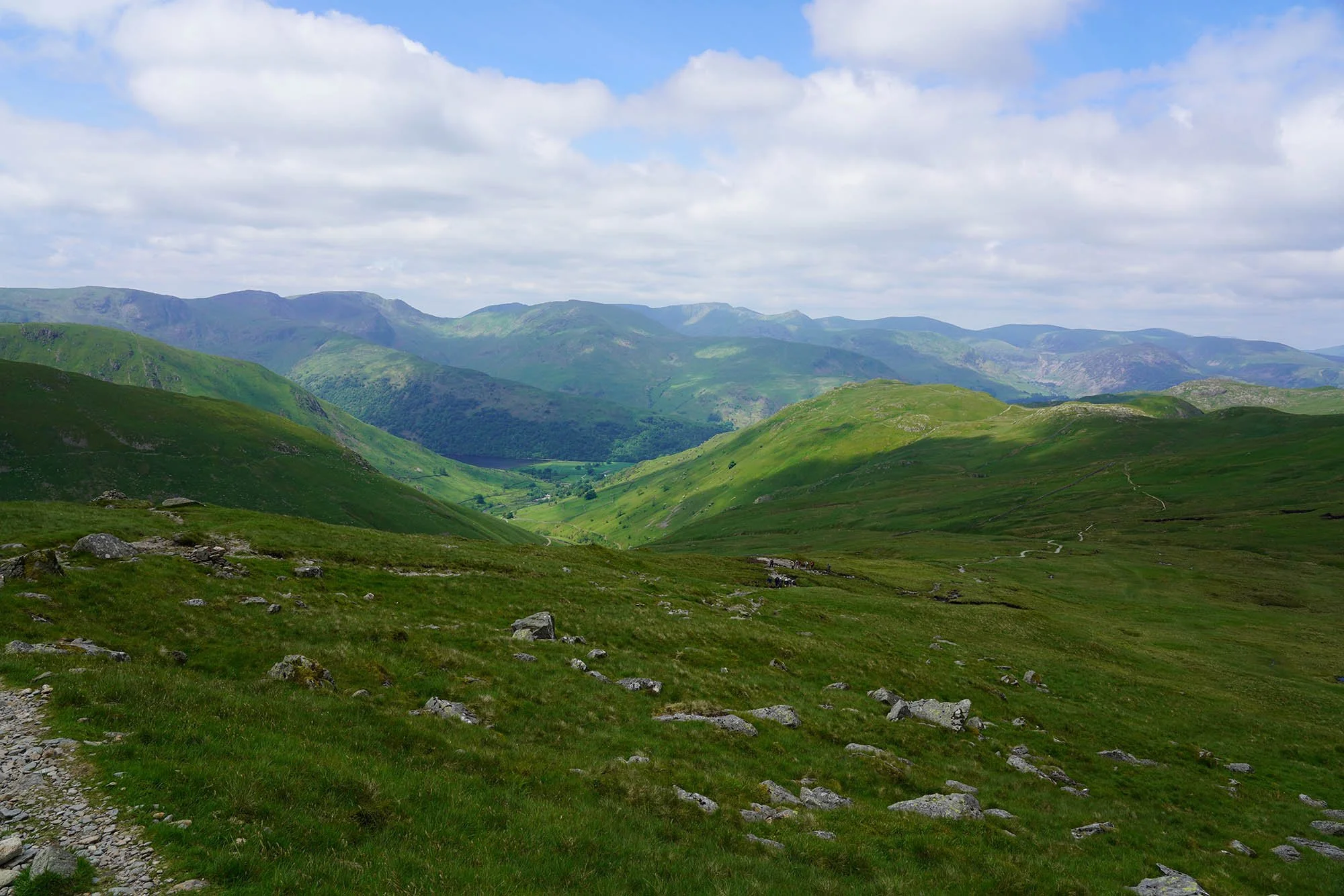
As we gained height the clouds lifted and weather dramatically improved - but wow was it windy up here! Stunning views inbound!
Looking across to Kirk Fell.
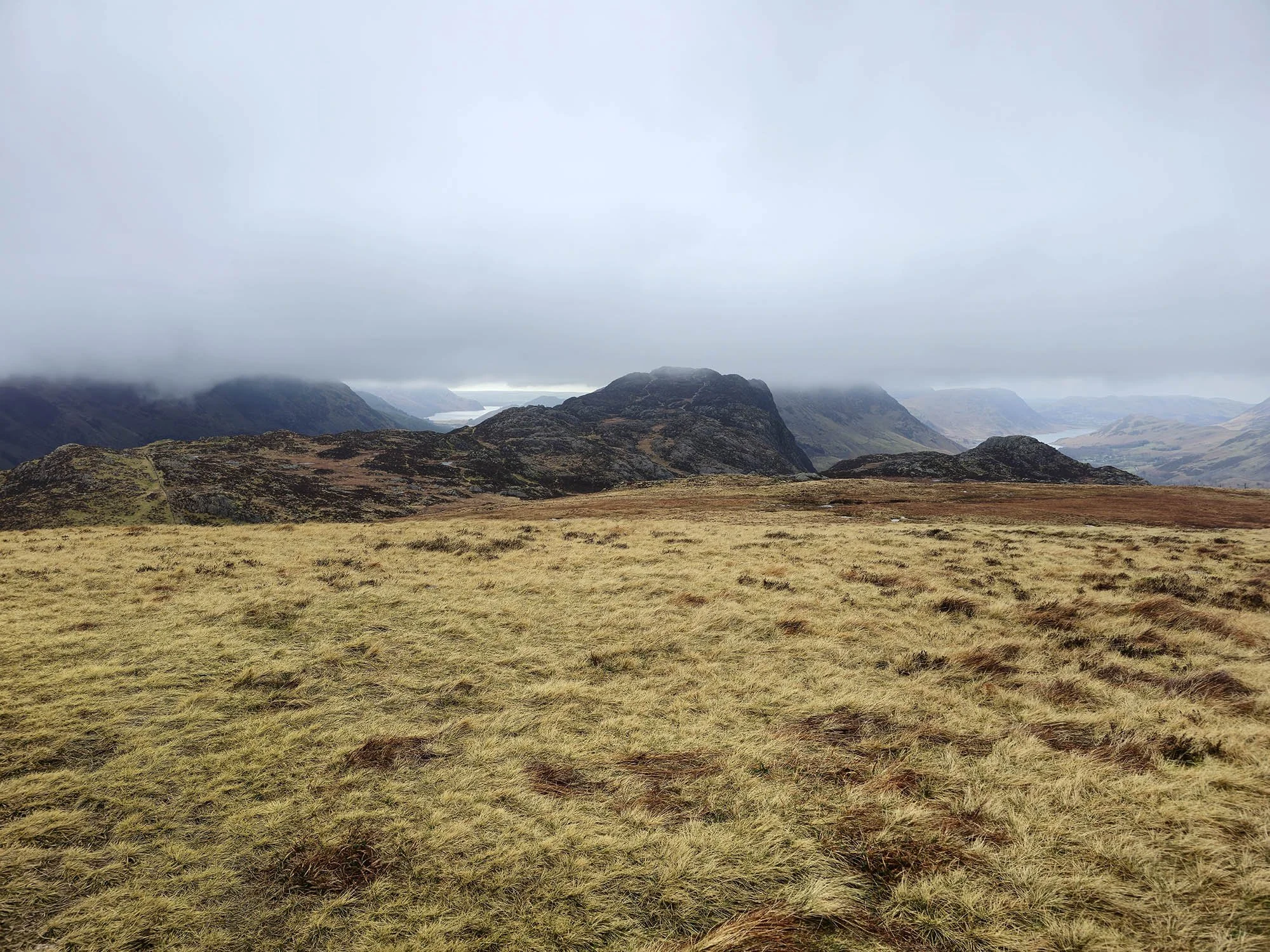
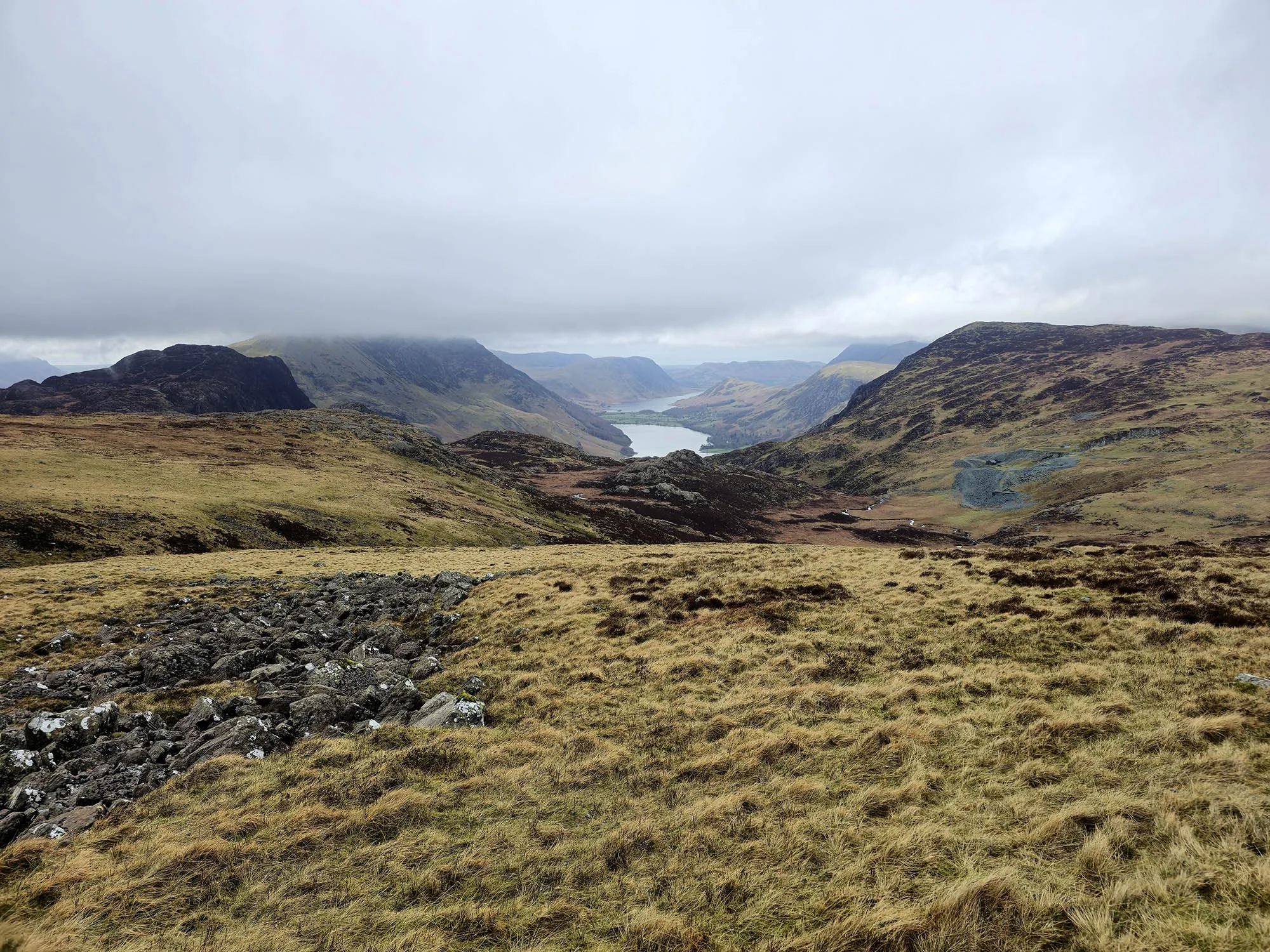
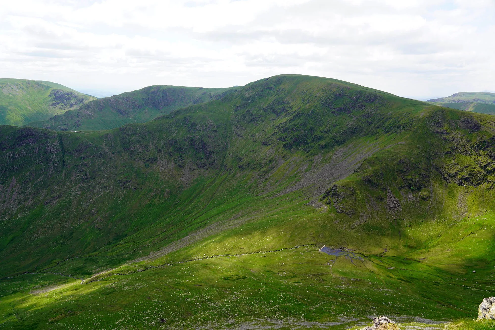
Saying hello to Wainwright as we pass Haystacks (Centre). That’s Ennerdale to the left and Crummock Water to the right.

Zooming in on Ennerdale Water - where we started about 1 mile the other side of that this morning!
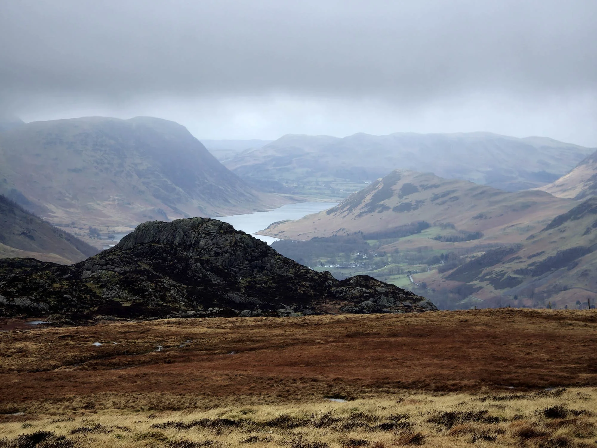
Zooming in on Crummock Water. That’s Mellbreak to the left Rannerdale Knotts to the right, with Low Fell in the background.
It was standing up here that put into perspective the distances covered on each days walking.

Zooming in on Crummock Water and Buttermere as the weather continues to improve.

Drum House.
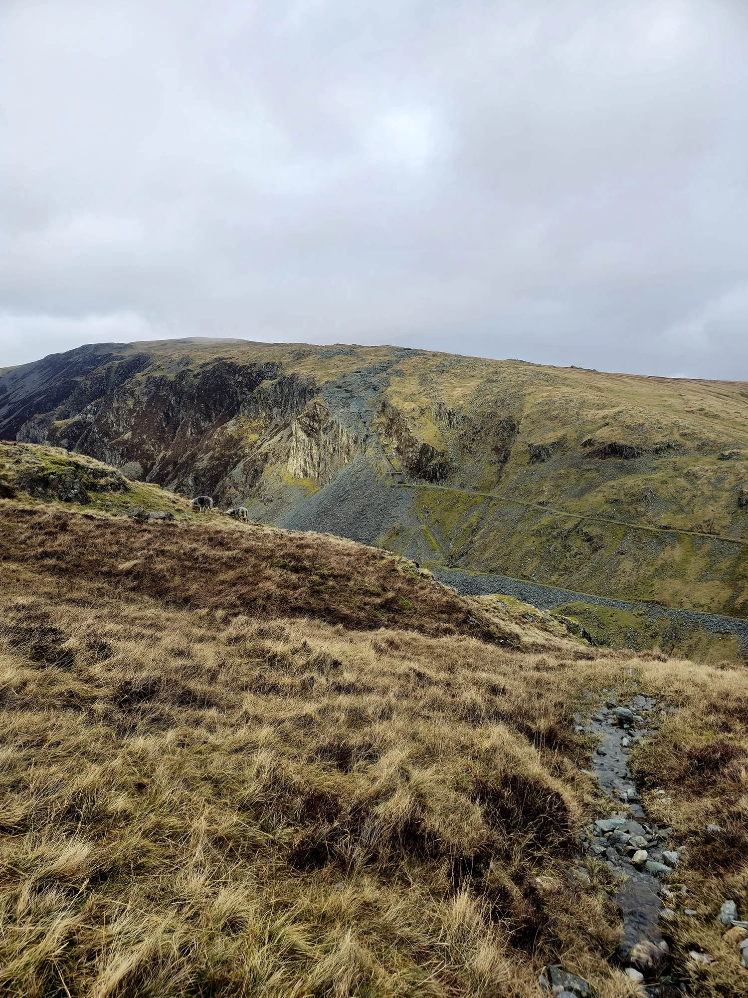
Dale Head on the opposite side of Honister Pass.

Lots of mines on Dale Head.
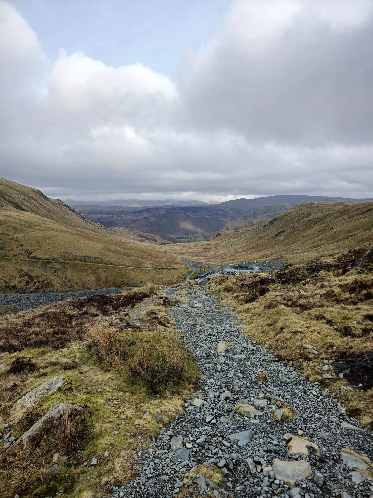
Descending down to Honister.
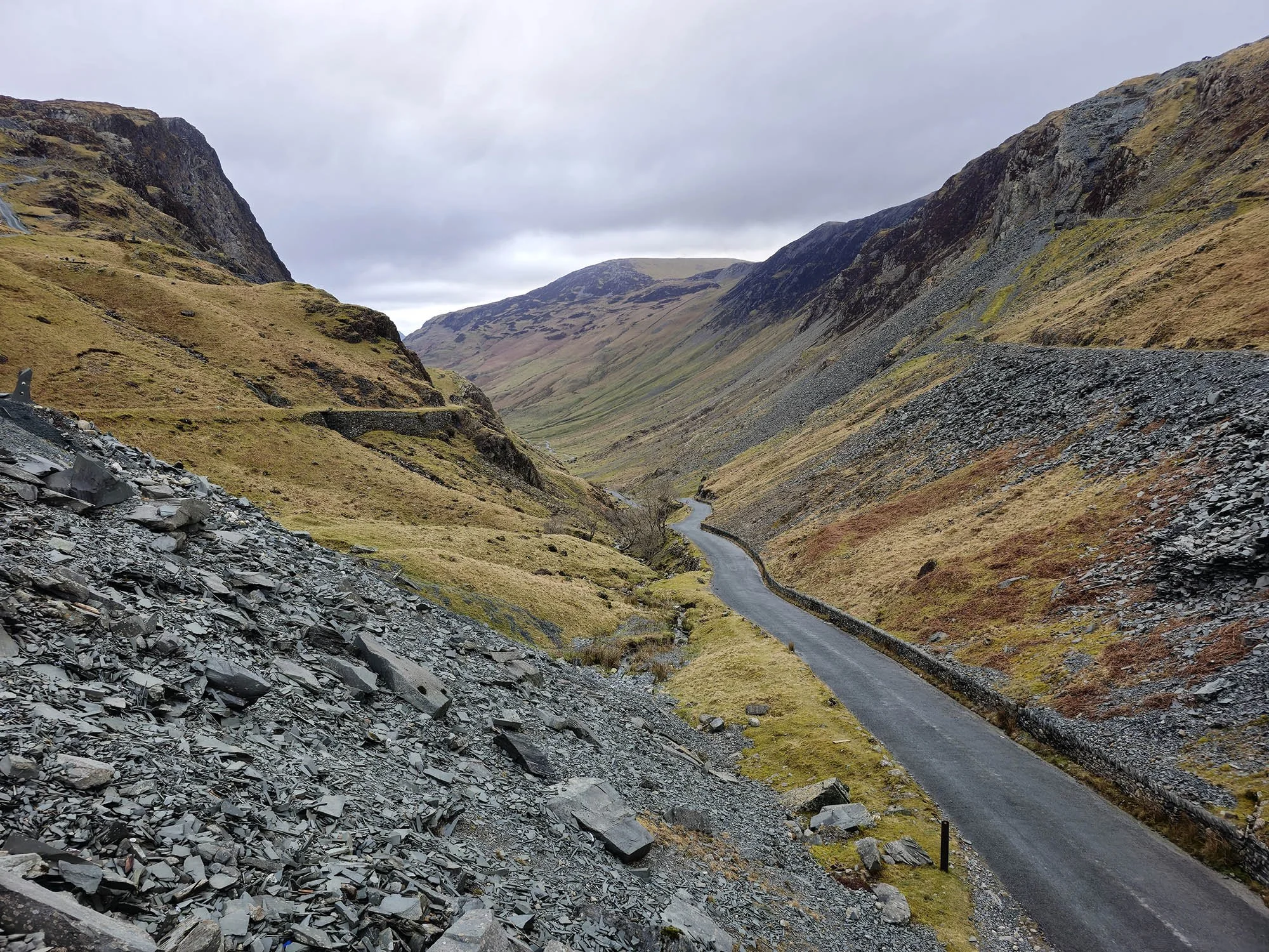
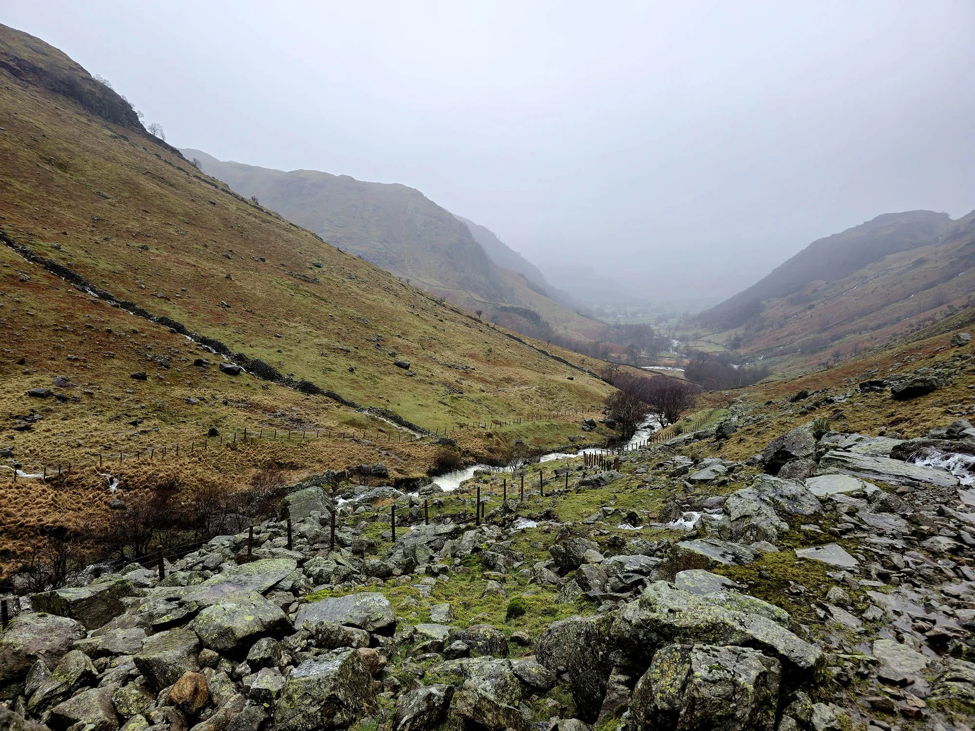
We rested up a bit at Honister before making the final few miles down the pass into Borrowdale and then onto Rosthwaite.
Arriving in Rosthwaite in twilight after a more rain.
Day 3: Rosthwaite to Grasmere - 15.7km (600m of Ascent)
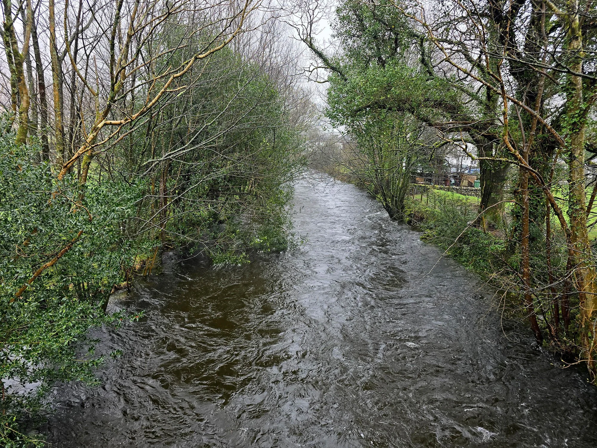
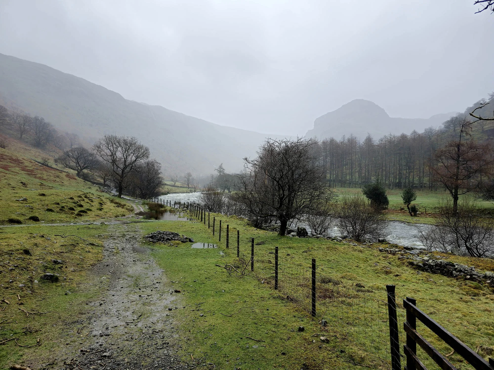
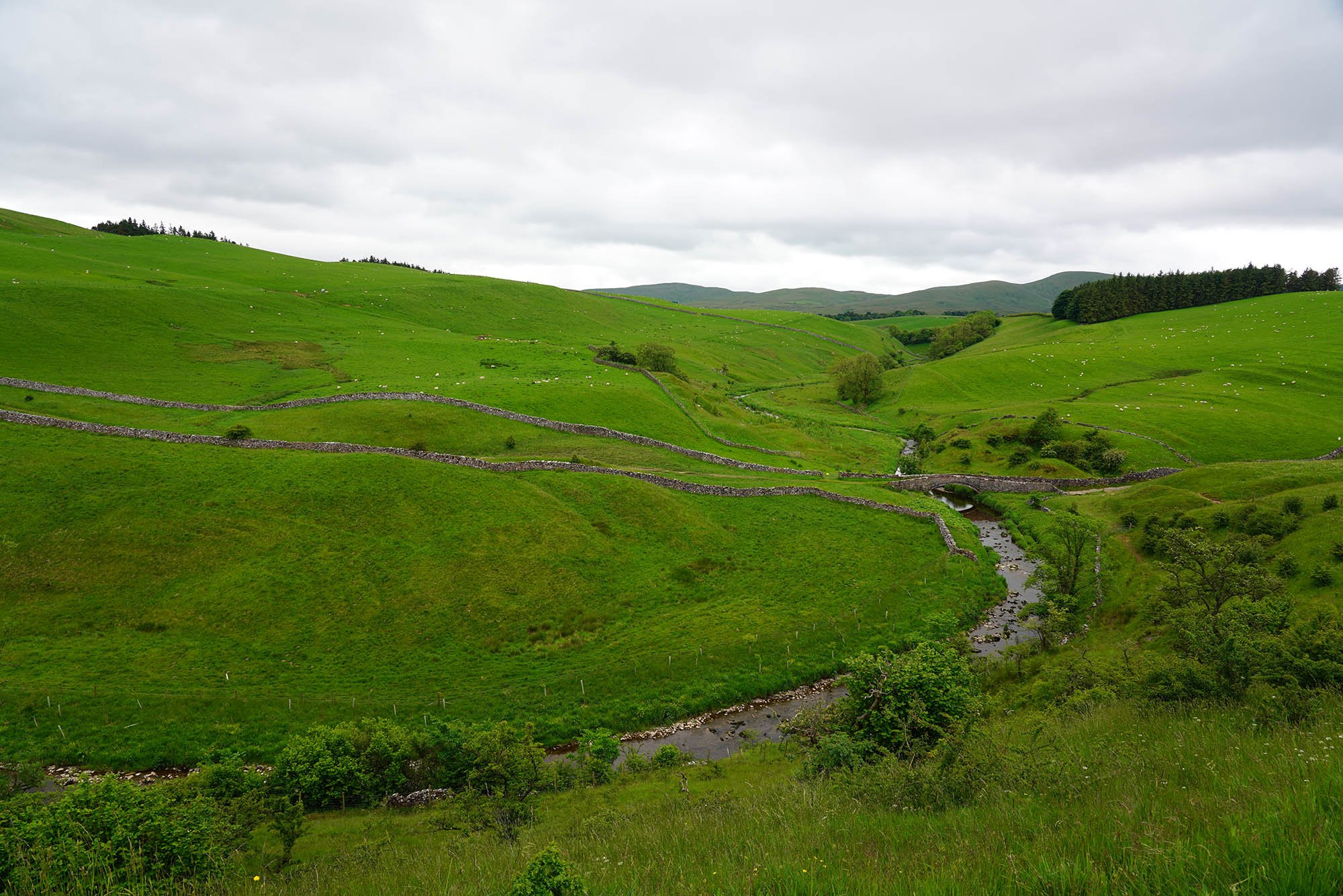
With torrential overnight rain continuing into today we decided on a later start and headed out of Rosthwaite at 12:30. The River Derwent was about to burst its banks.

Today was about acceptance. We were going to get wet… as in soaked through to matter what. Our paths all the way up and down were like this and it didn’t stop raining for about 3 hours.
Walking towards Eagle Crag.

Fast flowing streams.

It was just past here we encountered our first major obstacle - a river crossing which would normally involve stepping stones or a simple trudge through the water - except today it was over 1ft deep and almost impassable. We considered a retreat but managed to pass using the fence alongside… It was commitment from here on no matter what we encountered underfoot.
Higher up the valley - with 7 more river crossings yet to come!

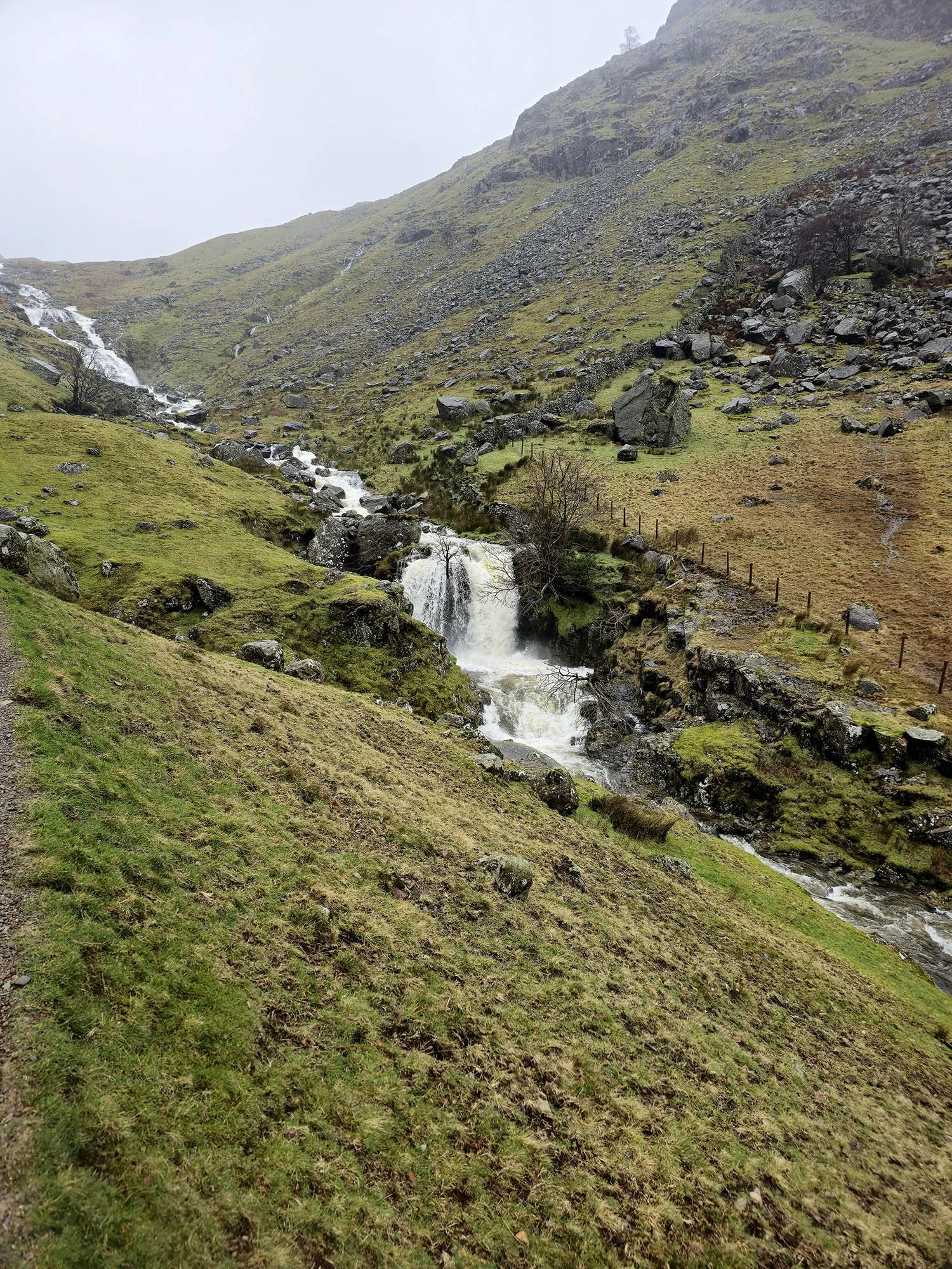
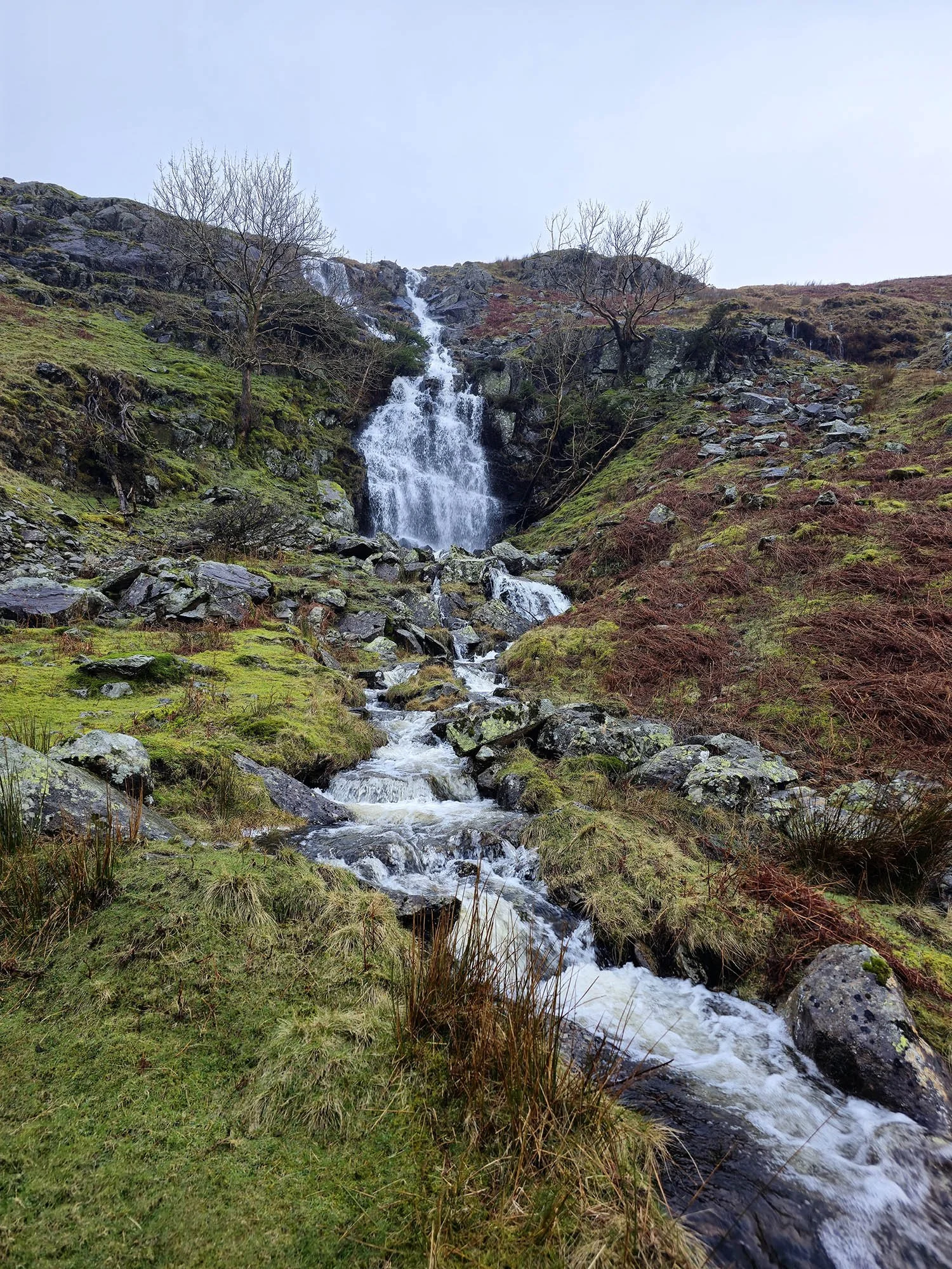
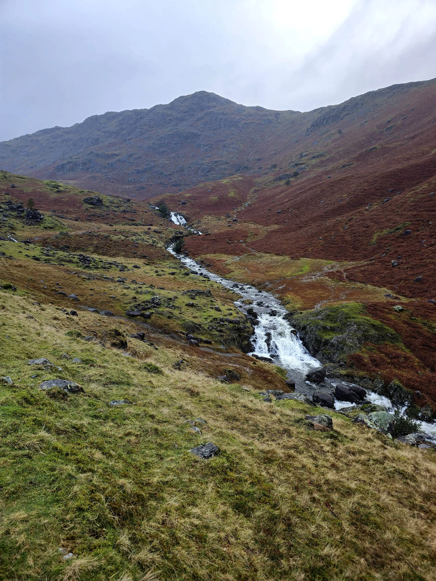
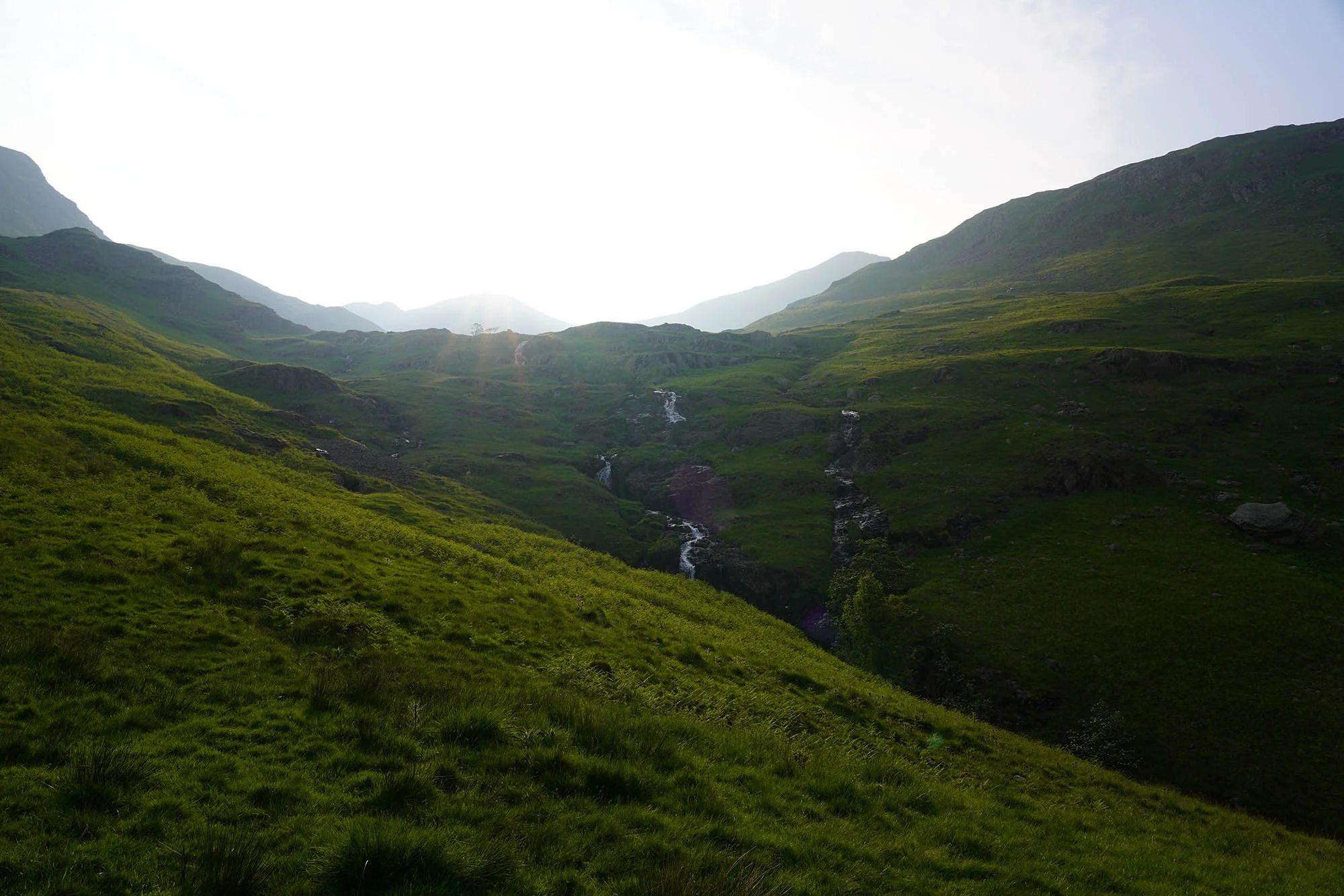
Waterfalls were spectacular today!

Still gaining height.

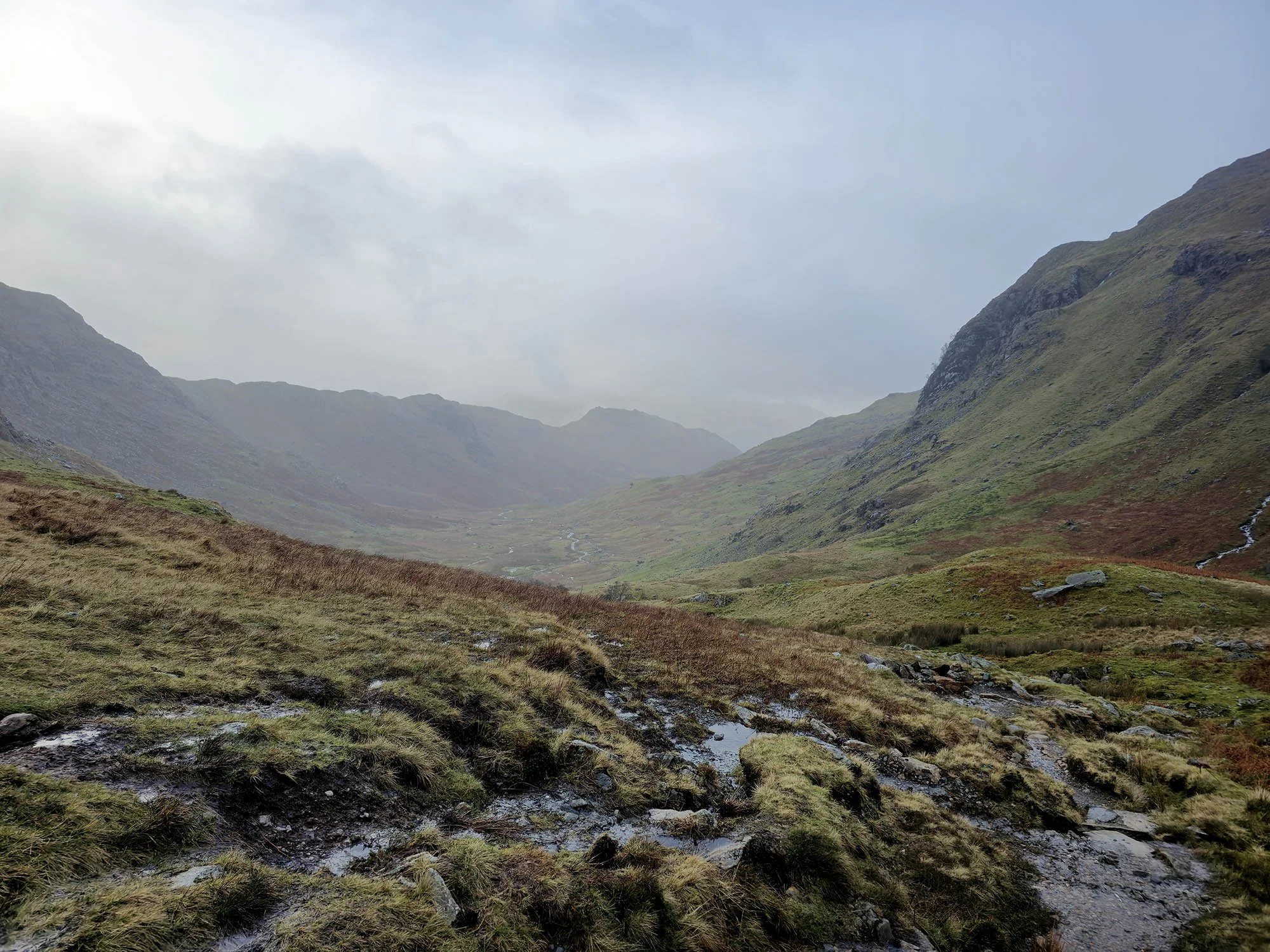
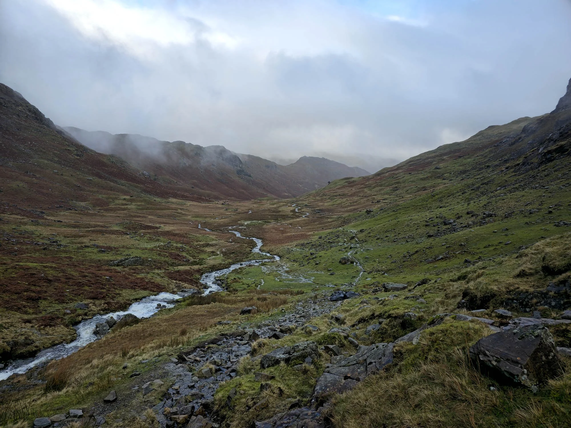
Heading towards Lining Crag which we ascend on its left side (the stream you can just make out). It was here I became a little worried about how boggy it was going to be over Greenup Edge.

We scrambled up the new stream and waterfall to the summit of Lining Crag.
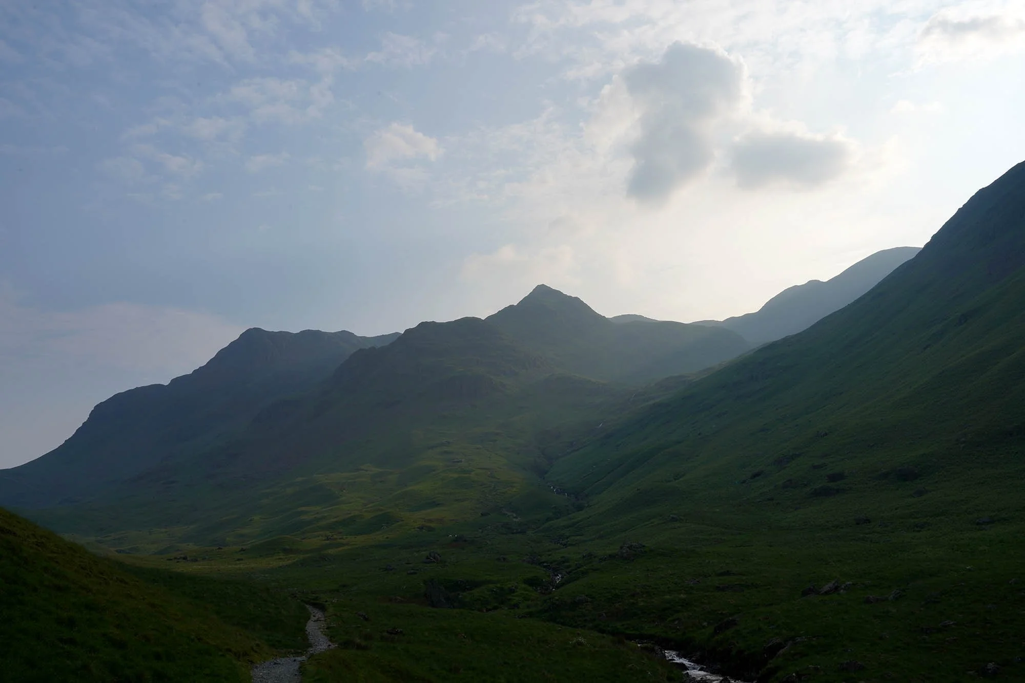
Greenup Edge was absolutely fine thanks to a new path and we are now heading along the top of Wythburn.
Getting to here to breathe a sigh of relief - downhill all the way to Grasmere and it wasn’t quite as wet in Easedale. Thats Helm Crag in the distance.
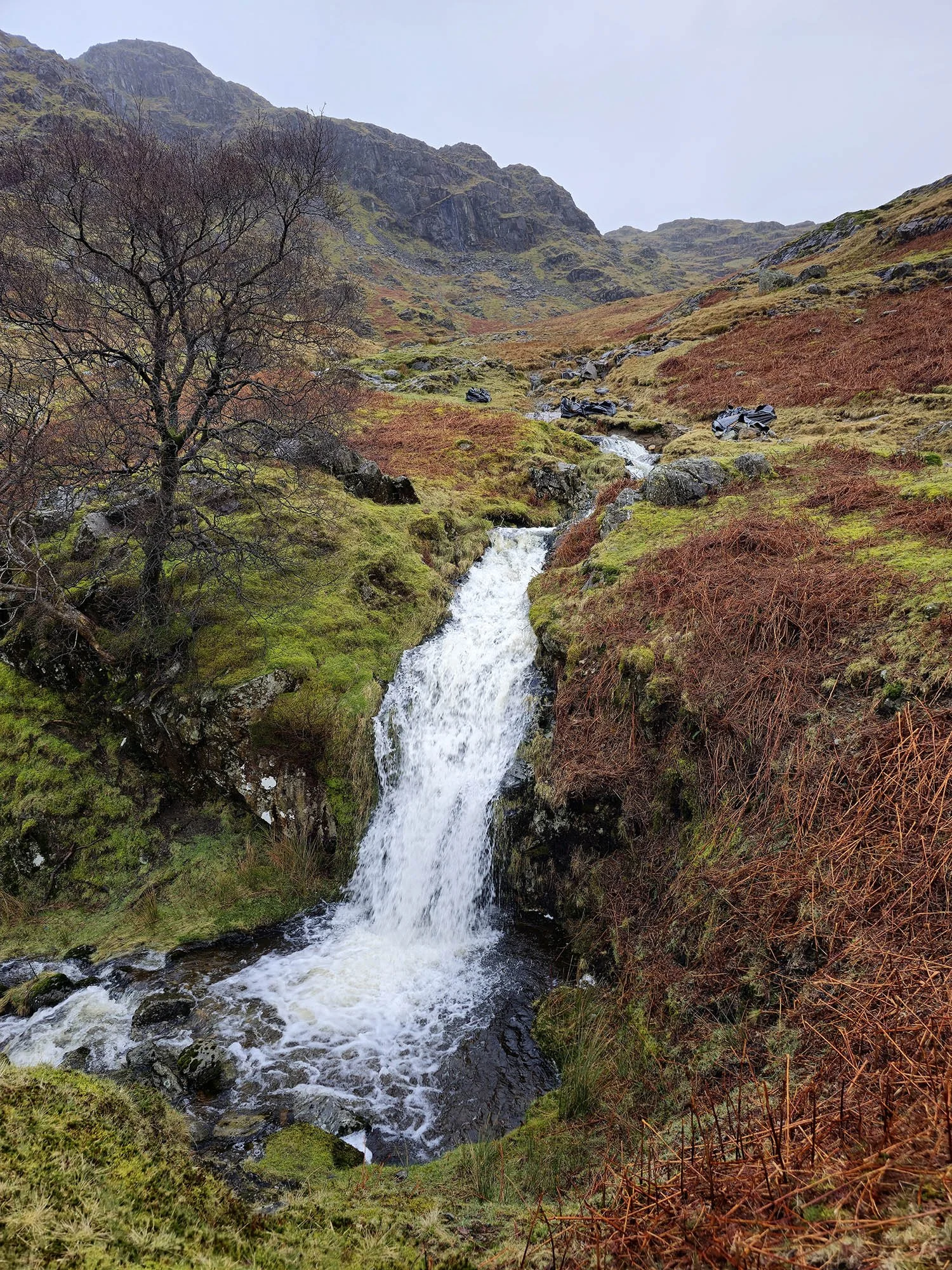
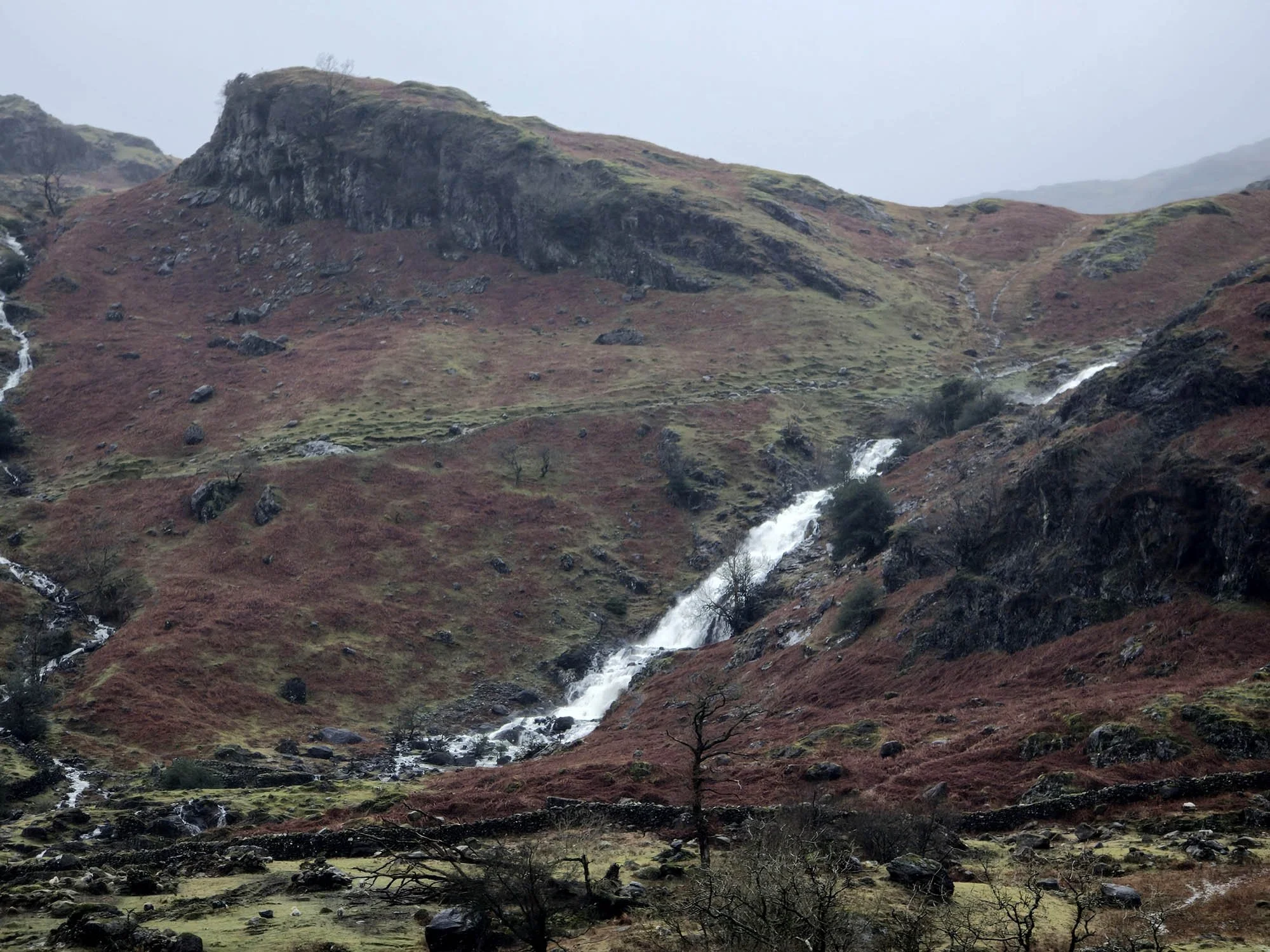
Waterfalls along Easedale Beck.
Progressing along Easedale with improving weather making this very enjoyable indeed!
Pike of Carrs above Easedale Beck Waterfalls.

Nearing Stythwaite Steps.

Almost down in Grasmere.
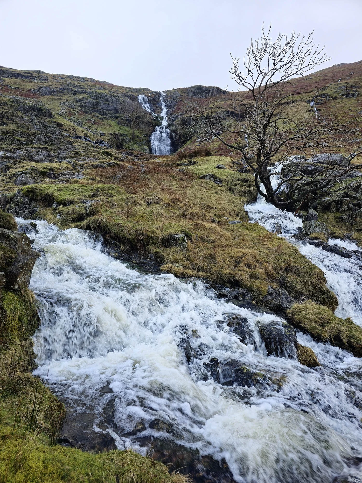
An insane amount of water flowing down Sourmilk Gill.
Our initial plan was to finish this section in Patterdale but the weather for tomorrow was even worse than today and today was one of the foulest weather days anyone would walk in. So we decided to bail and walk the section from Grasmere to Patterdale on the next trip up in a few months time.
Day 4: Grasmere to Patterdale - 11.8km (599m of Ascent)
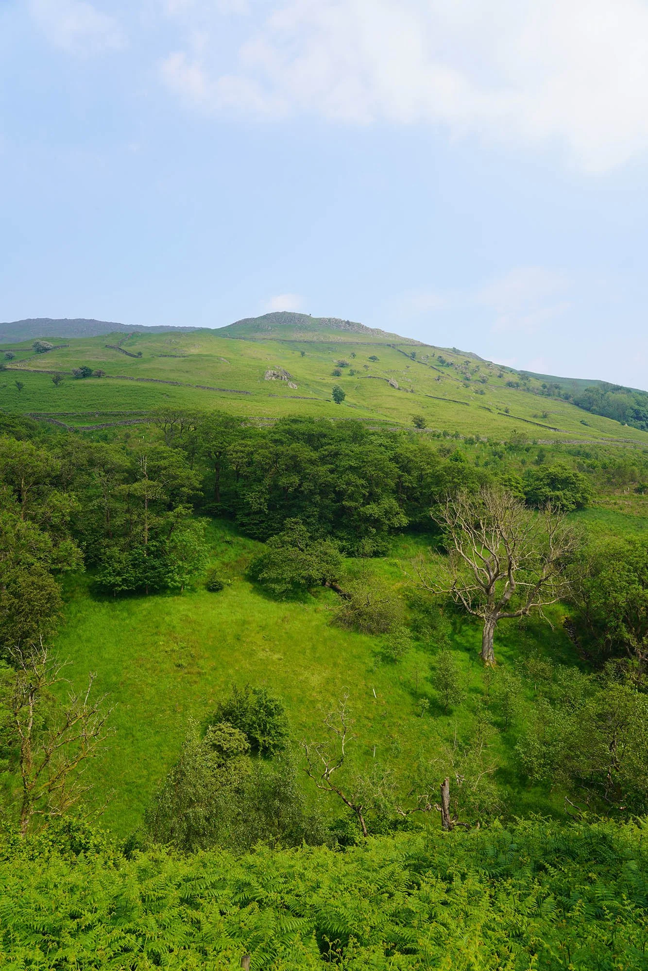
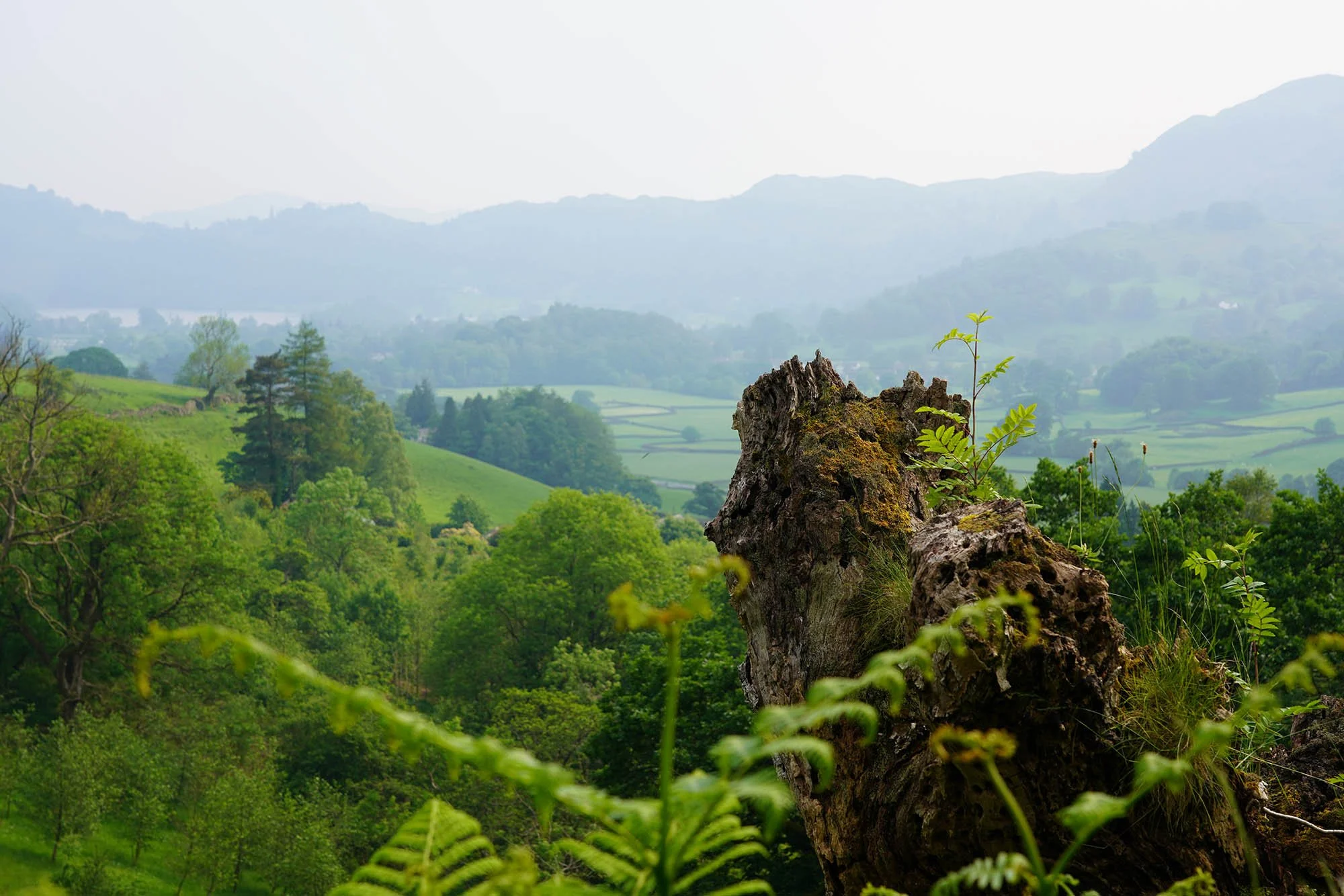
Its been 2 months since we were on the Coast to Coast and the countryside has changed into a beautiful summer landscape.
Looking up to Stone Arthur as we head up Tongue Gill.
Stunning scenery around Grasmere.
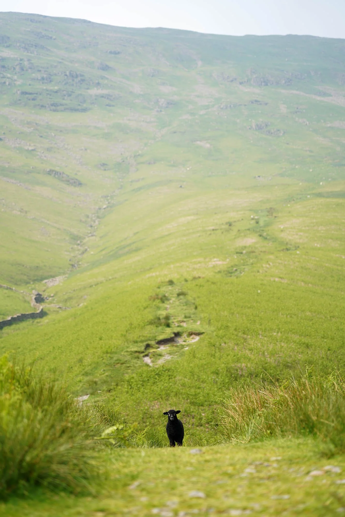
Lonely lamb on the path.
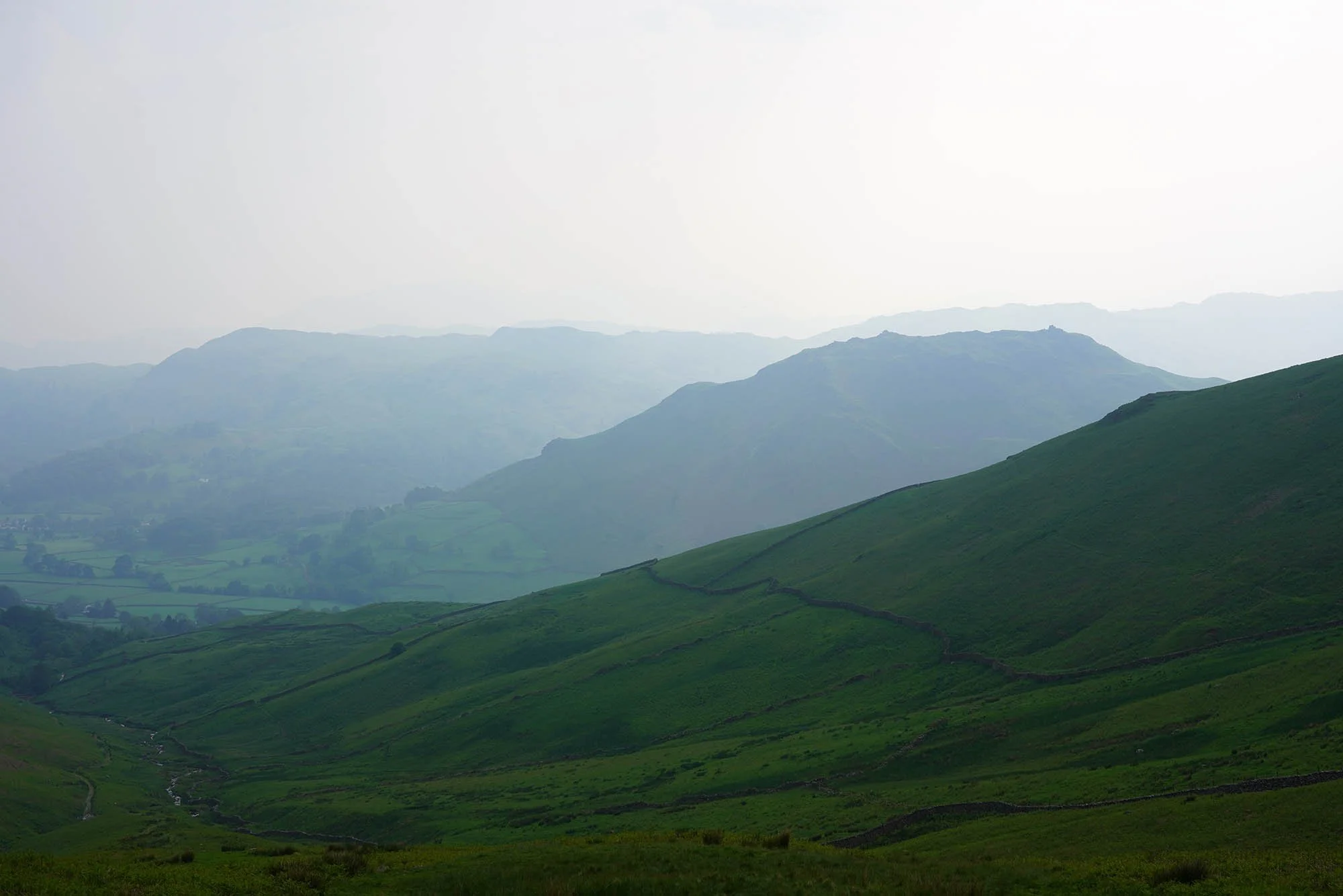
A strong haze reduced the views a little today but made everything seem much higher and more distant. That’s Helm Crag to the right.
A lovely waterfall at the top of Tongue Gill.
Almost up at Grisedale Tarn.
Arriving at Grisedale Tarn at 16:45 and very disappointed to see no less than 6 tents pitched up at random places around the waters edge. Wild Camping means Pitch Late and Leave Early…
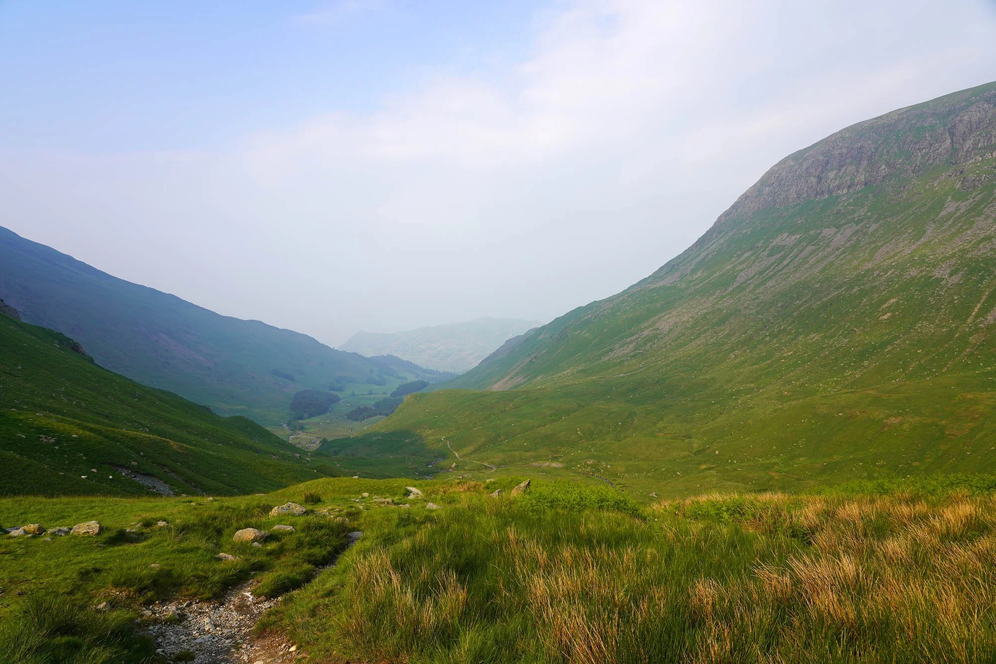
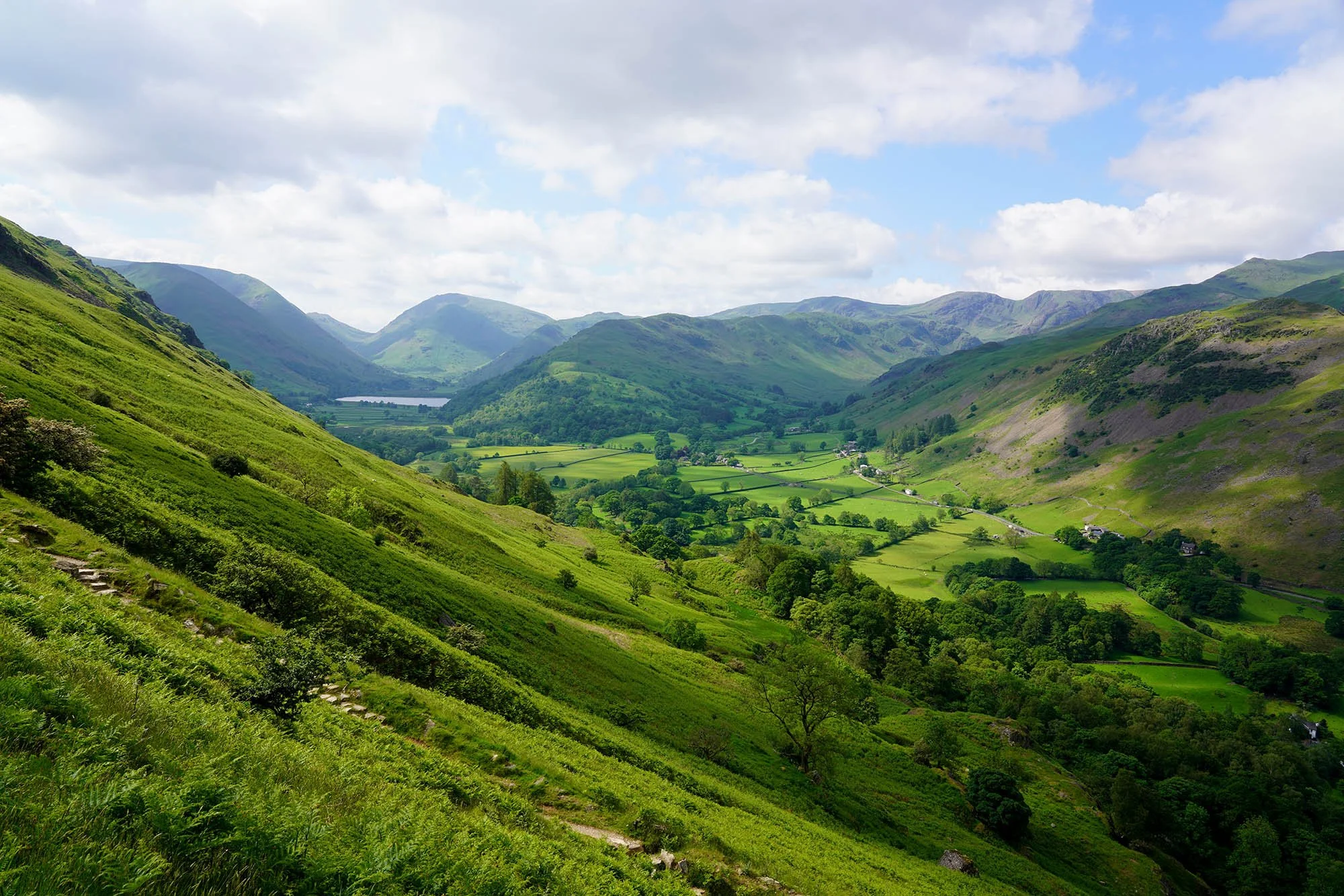
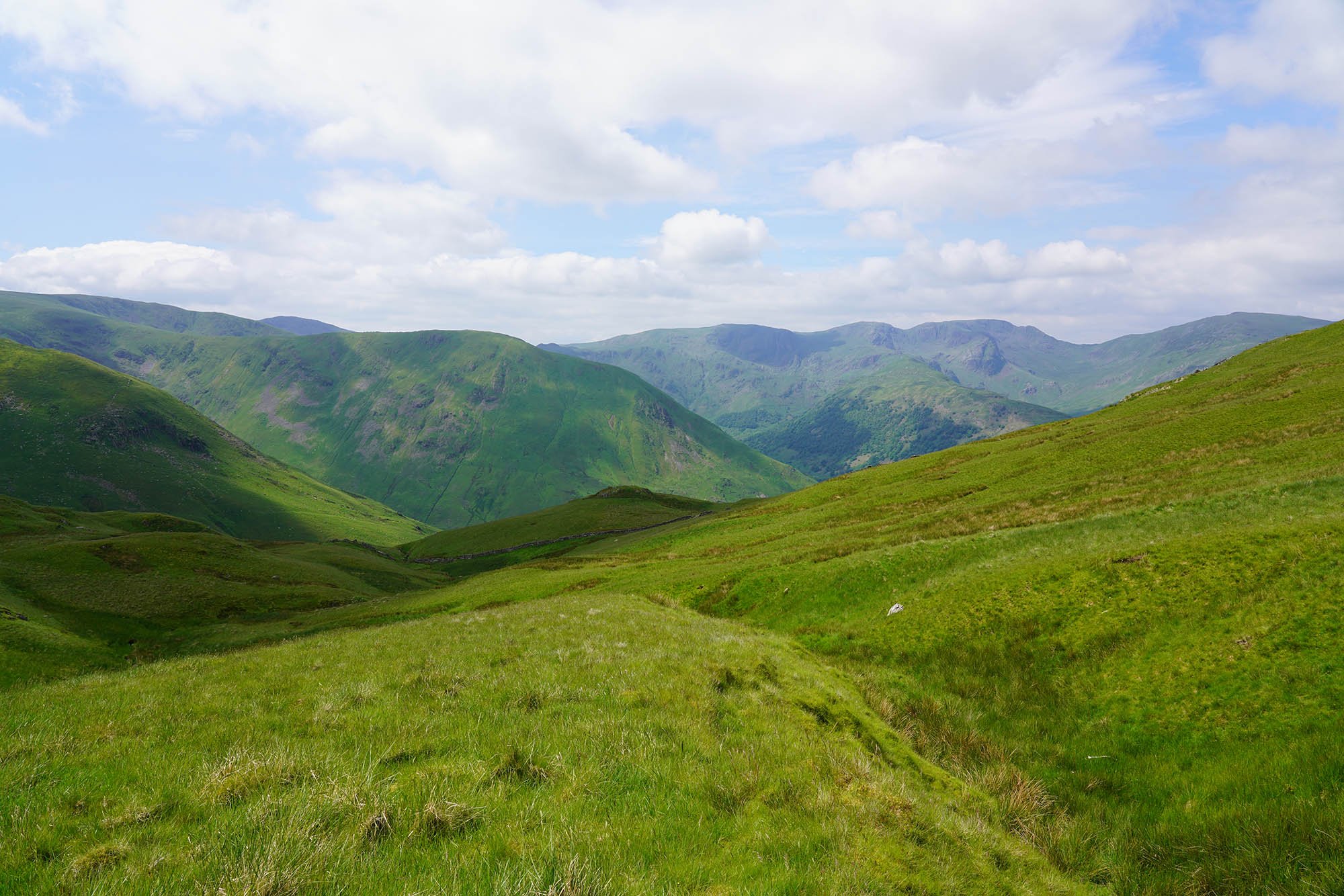
Looking down the length of Grisedale. At the far end is Place Fell which is before our end for todays walk.
The Brothers Parting Stone.
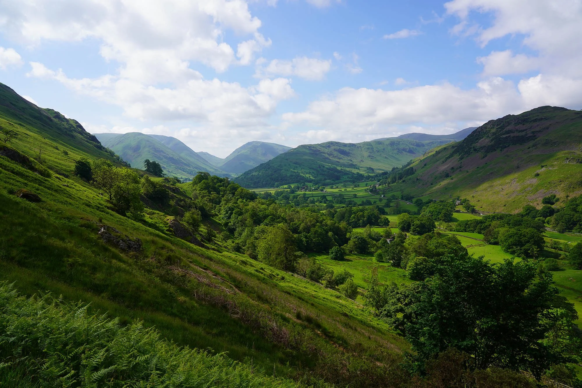
Stunning scenery as we look up to Nethermost Pike and Dollywaggon Pike on our descent.
Continuing down the valley - that’s St Sunday Crag up to the right.
St Sunday Crag.
Ruthwaite Lodge clumbing hut.
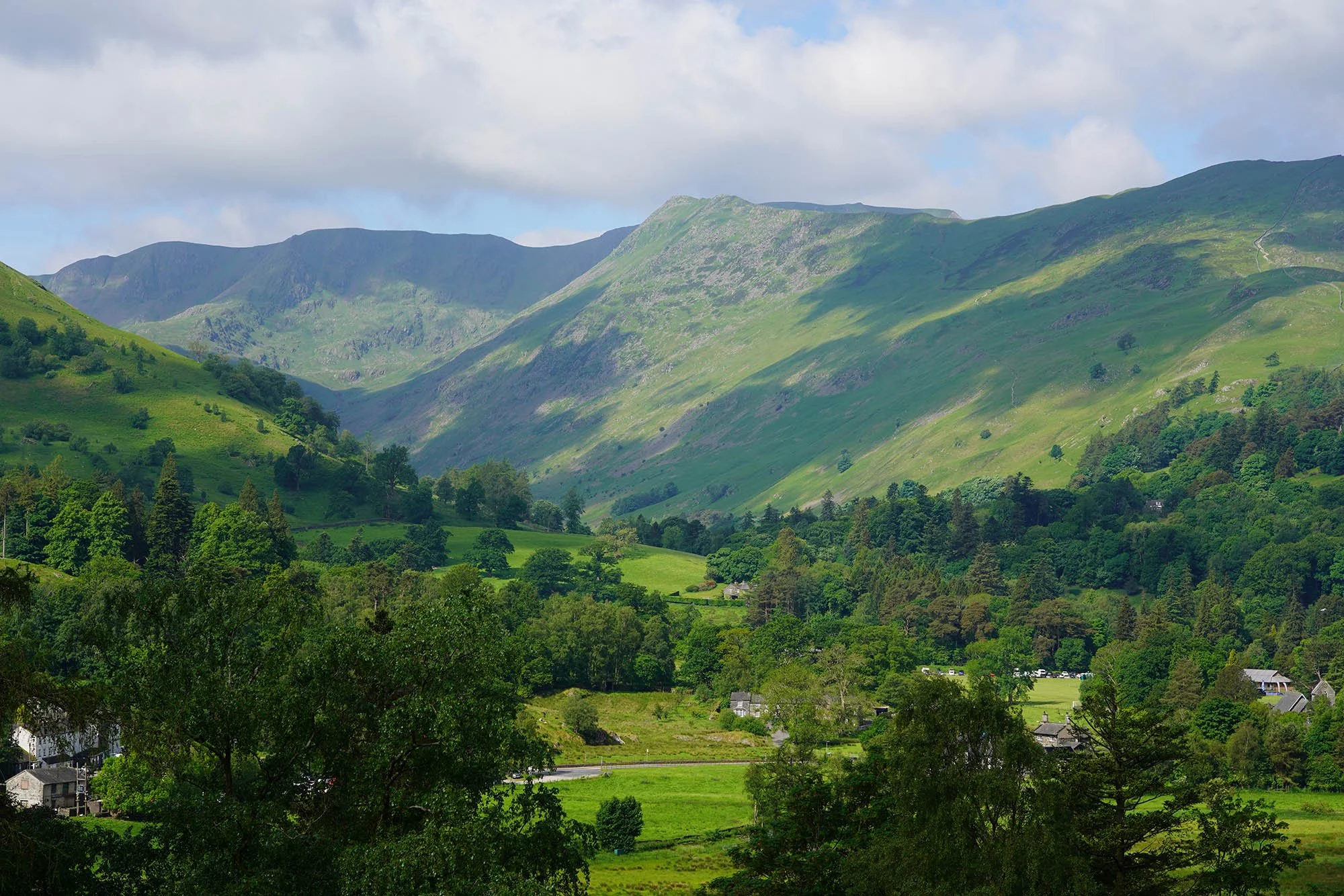
An alpine scene - one of our best views so far on the Coast to Coast. Absolutely breathtaking.
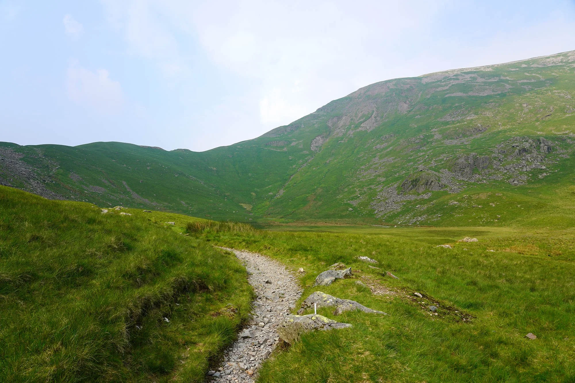
Day 5: Patterdale to Shap - 26.3km (1123m of Ascent)
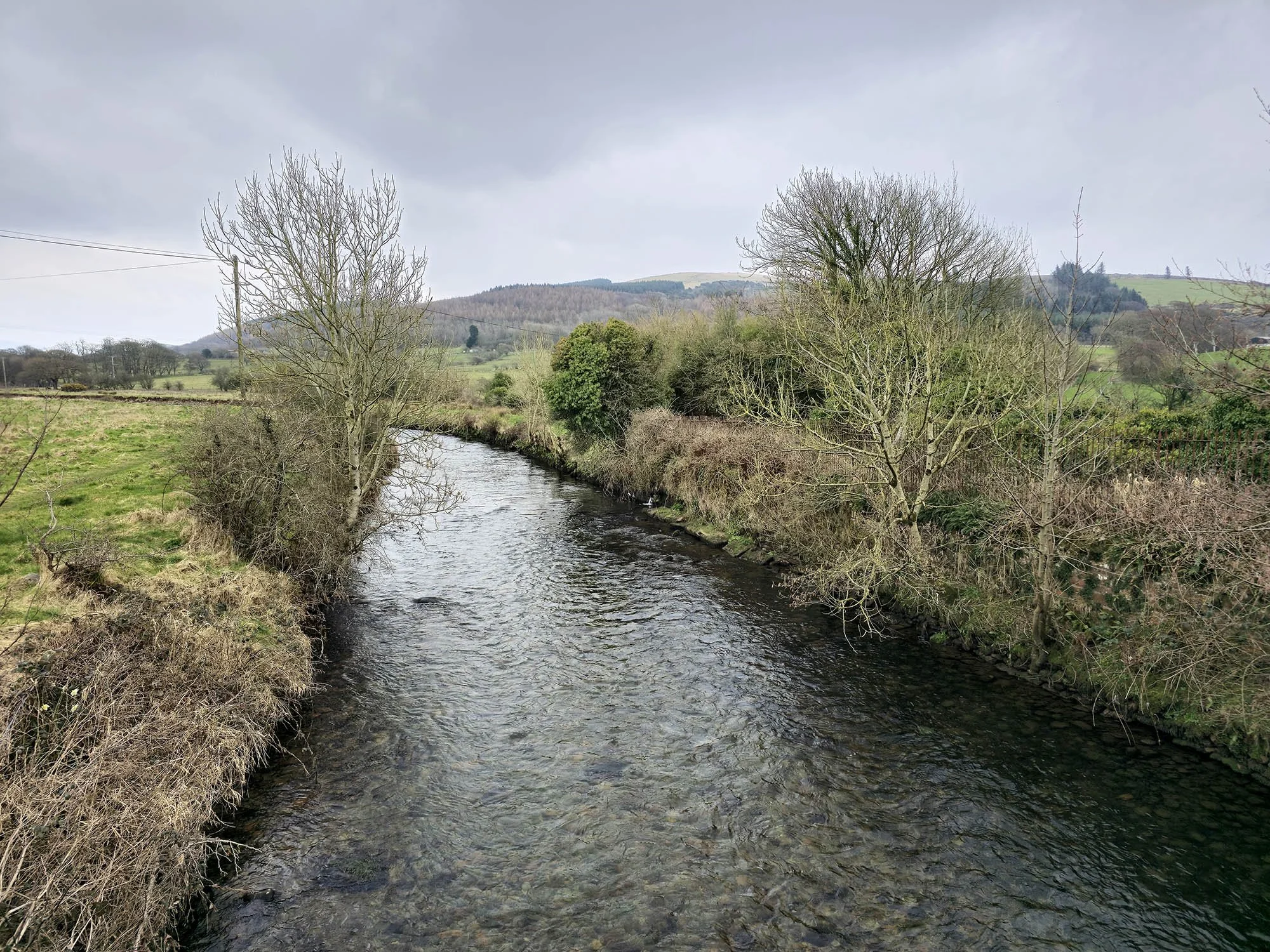
The river down at Patterdale.
Looking down Grisedale and up to Low Spying How and Helvellyn.
Looking down towards Brothers Water and Kirkstone Pass.
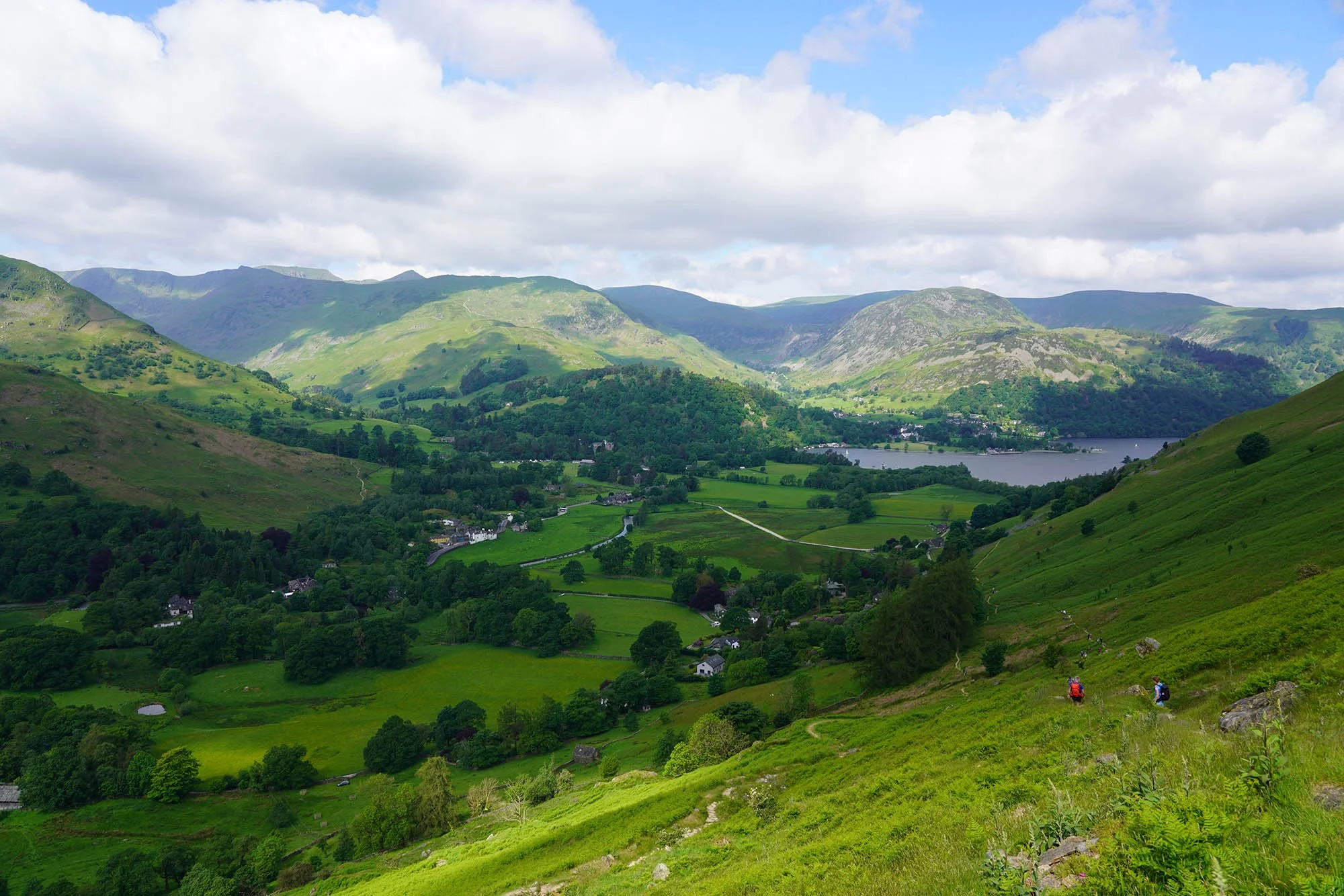
Patterdale and Ullswater far below.
Brothers Water down below Red Screes and a stunning scene around Patterdale.
Angle Tarn - another place that, even at midday, was full of tents (I think we counted 7).
Looking across the fells to Helvellyn (Highest point at the back).
The path ahead towards High Street.
Rest Dodd.
The Eastern Fells of Lakeland, Fairfield across to Helvellyn and the Dodds.
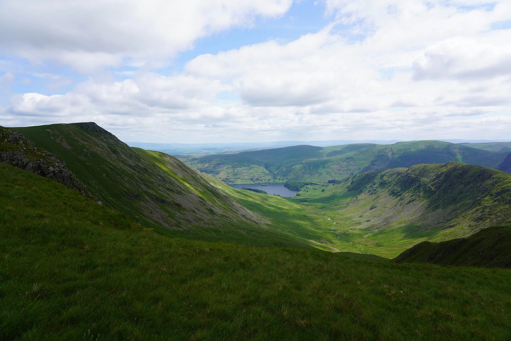
Riggindale and the highest point on the Coast to Coast; Kidsty Pike, up on the left.
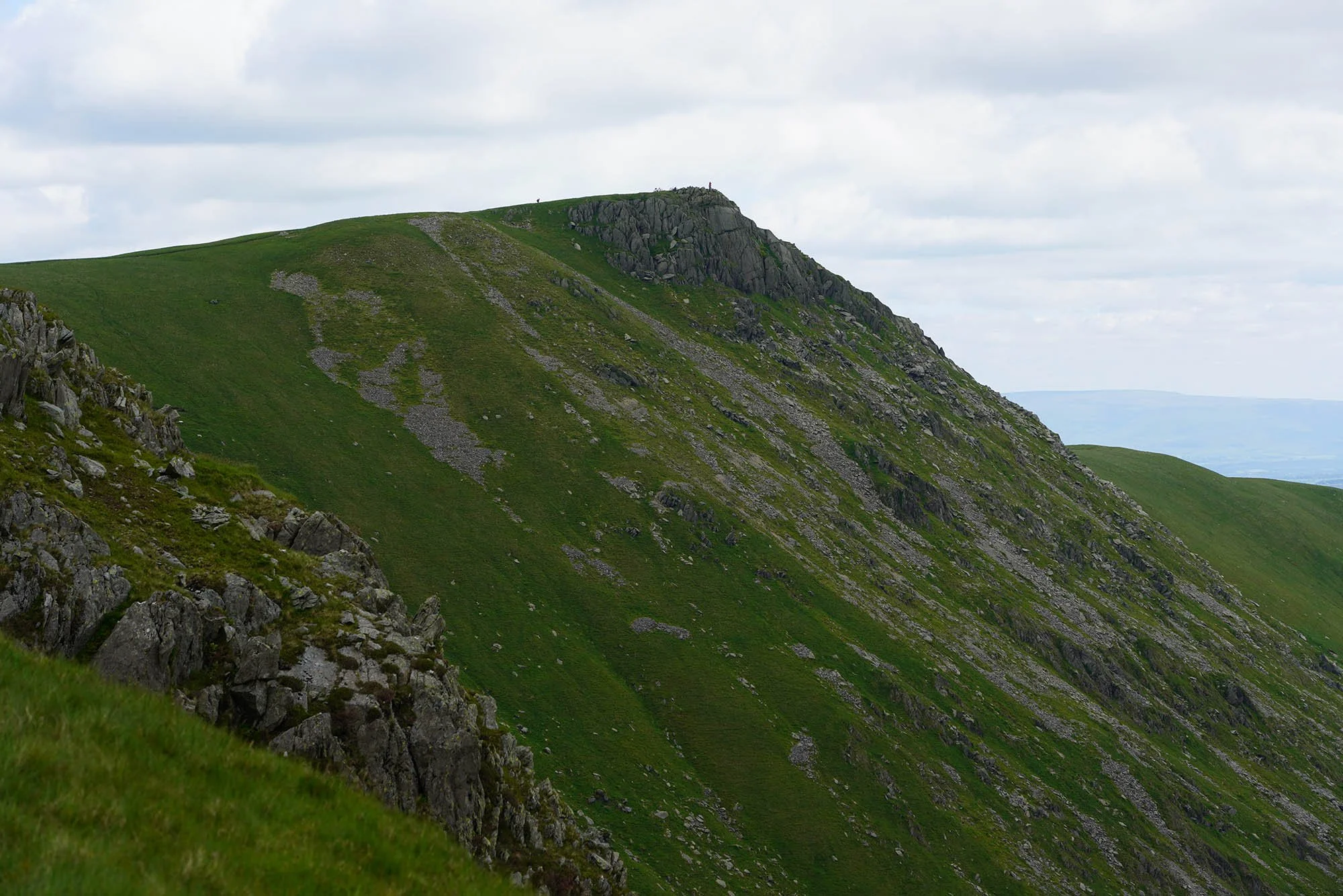
Kidsty Pike, our next stop.
The summit of Kidsty Pike.
High Street.
Our route down is along the ridge on the left, straight down to Haweswater you can see at the base of the valley.
Making our way down Kidsty Pike.
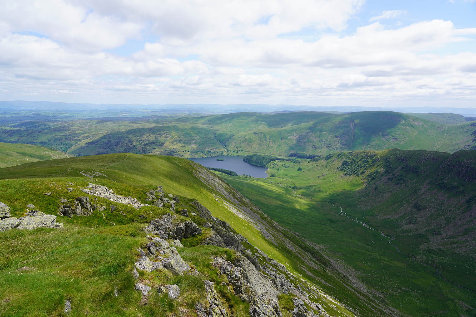
Haweswater and the Eden Valley beyond with Cross Fell in the distance.
The views of Mardale on the descent were utterly breathtaking.
Now down at the beautiful Mardale.
It was near here a Fell Runner passed us, where he had ran from Rosthwaite!
Stunning… but it was nearing 22C and in the sun, even hotter…
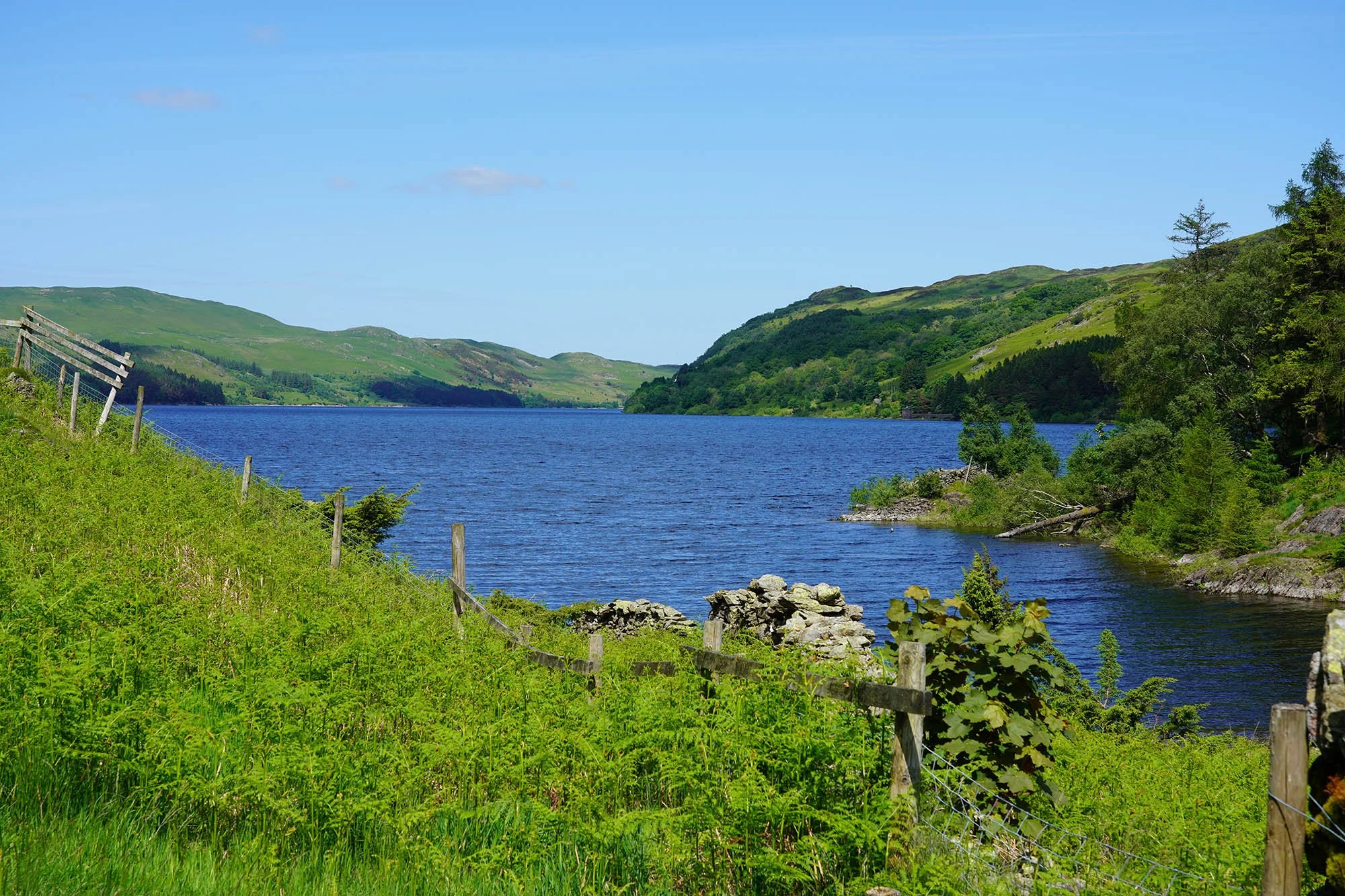
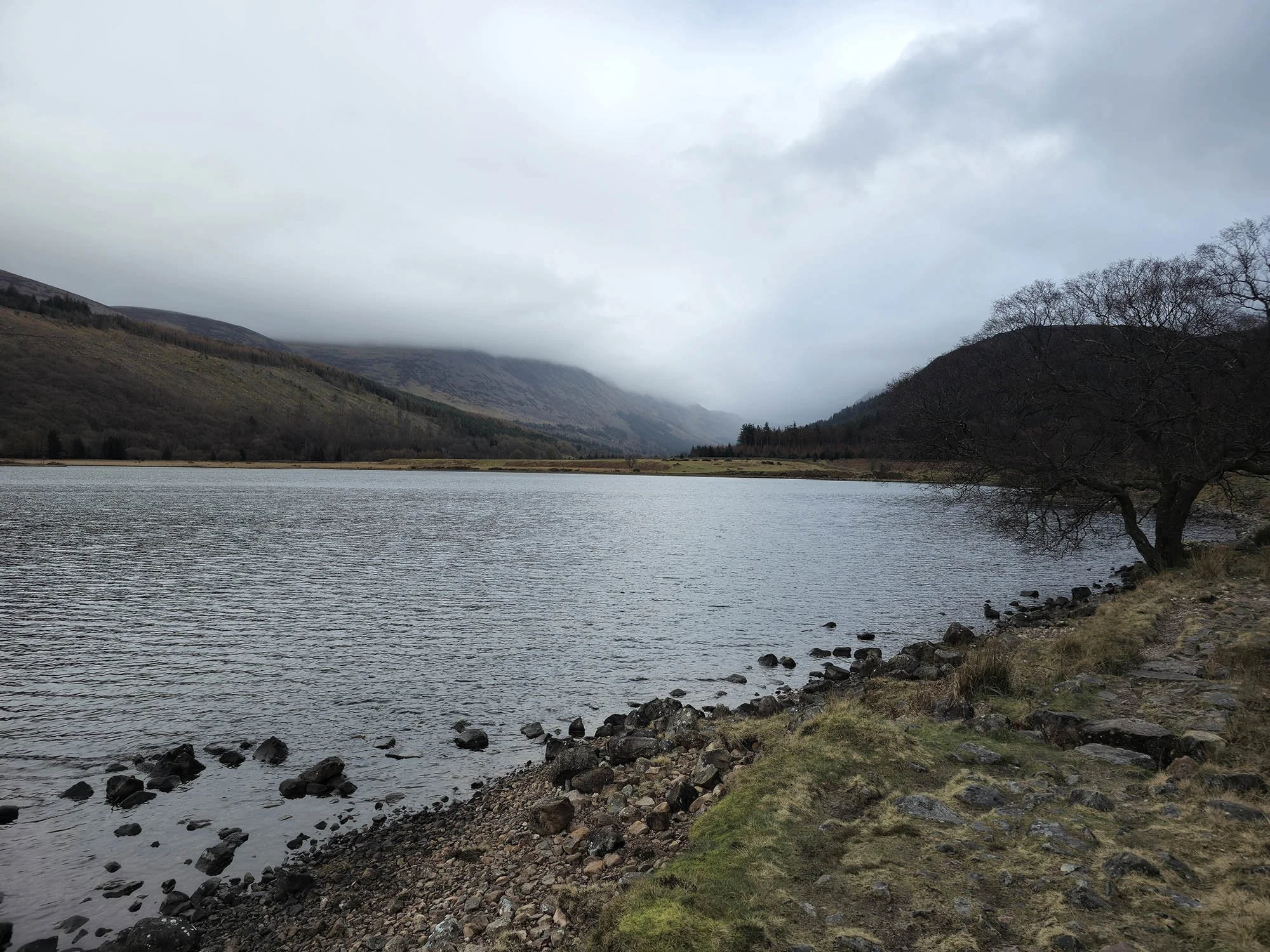
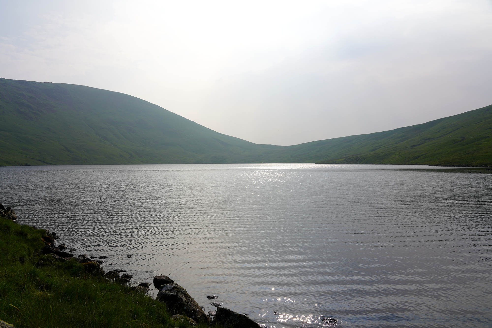
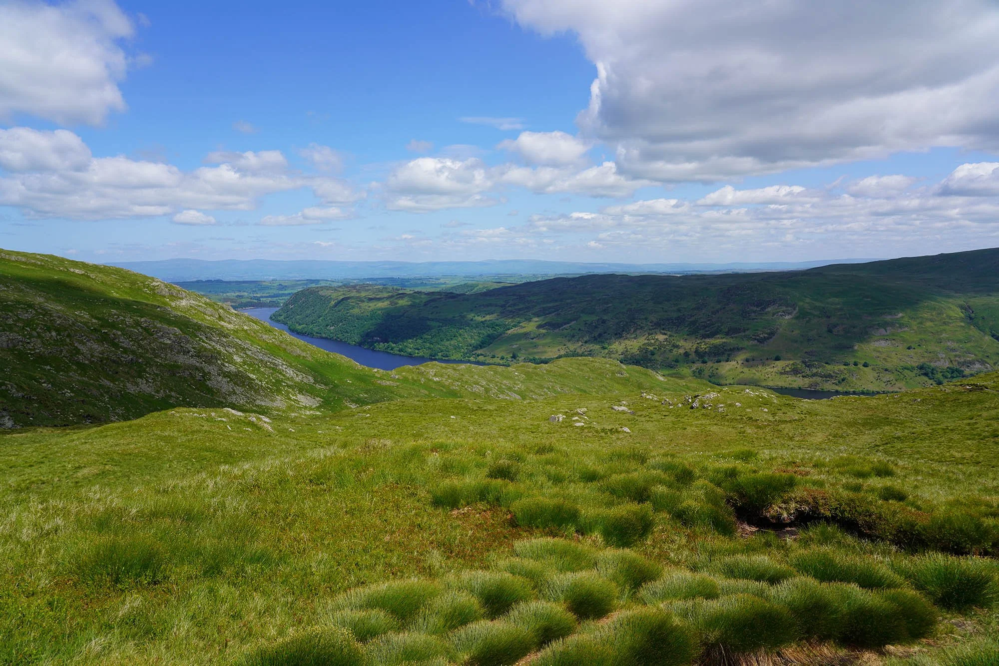
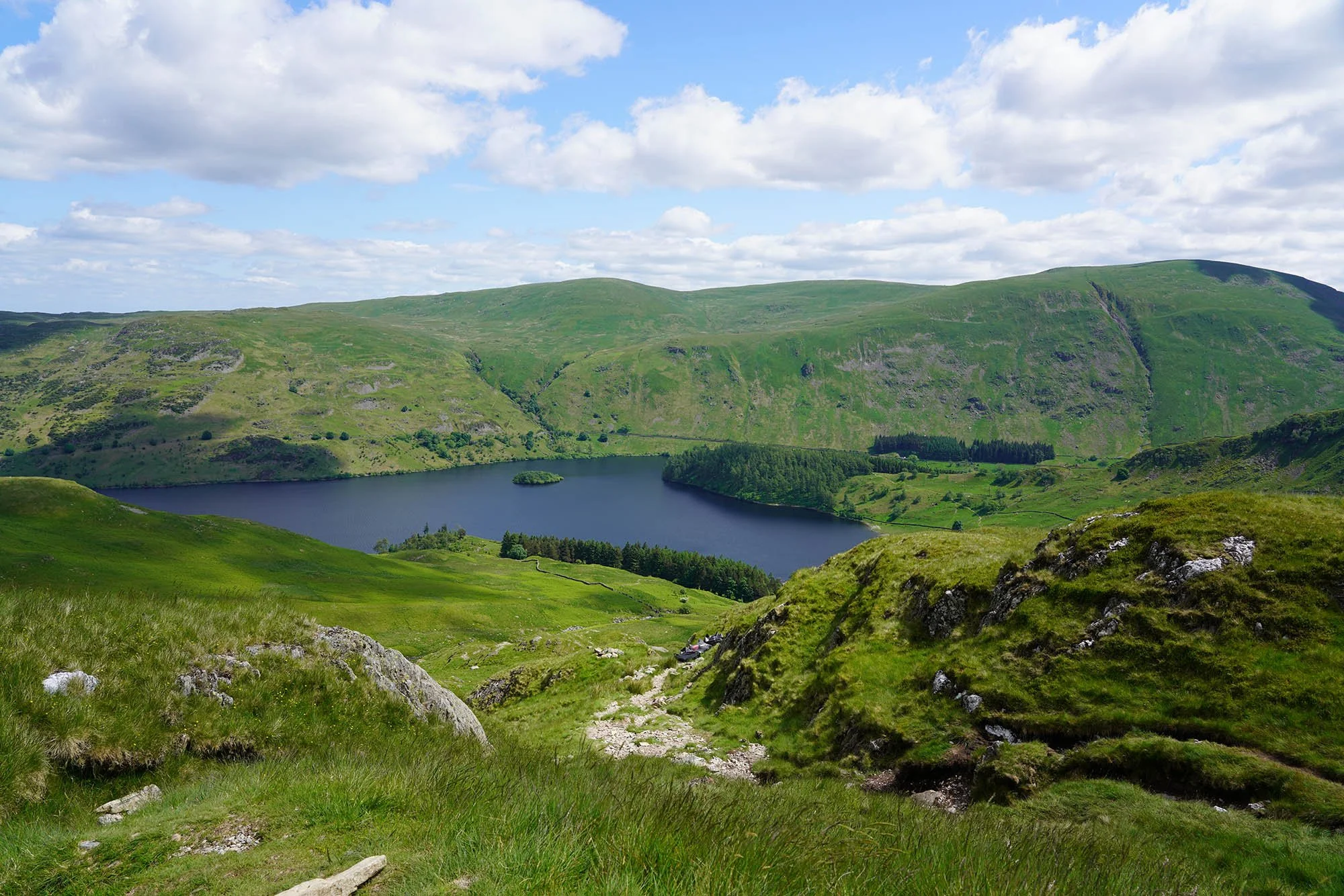
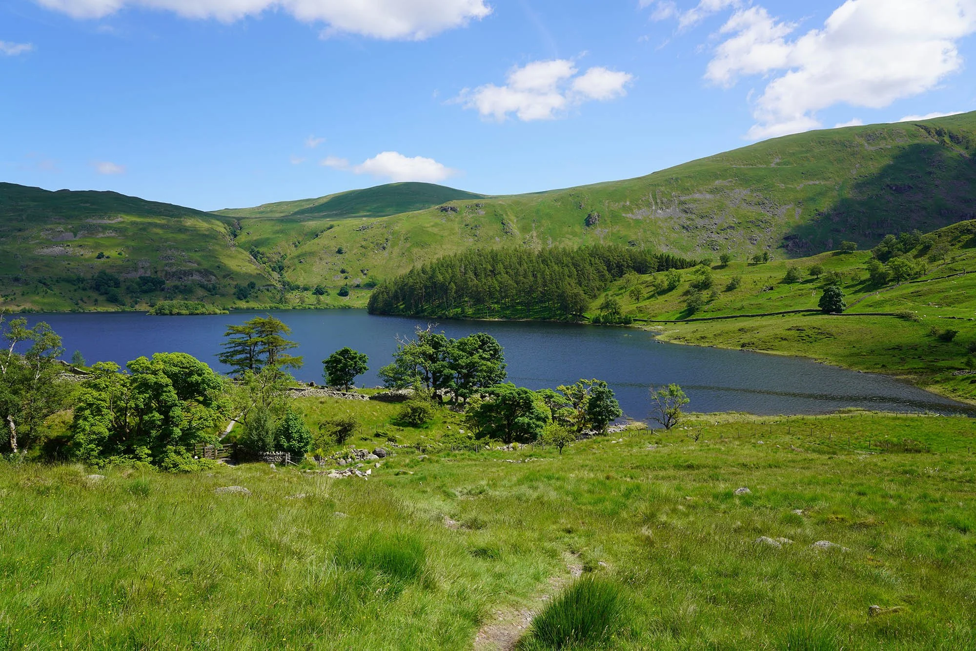
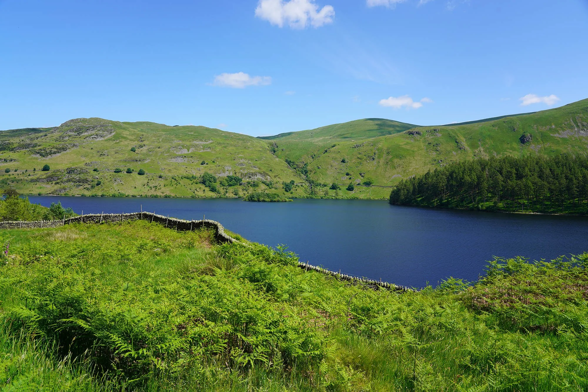
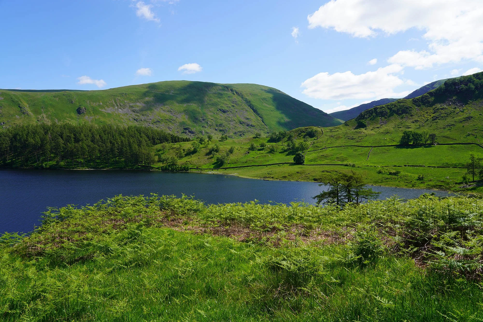
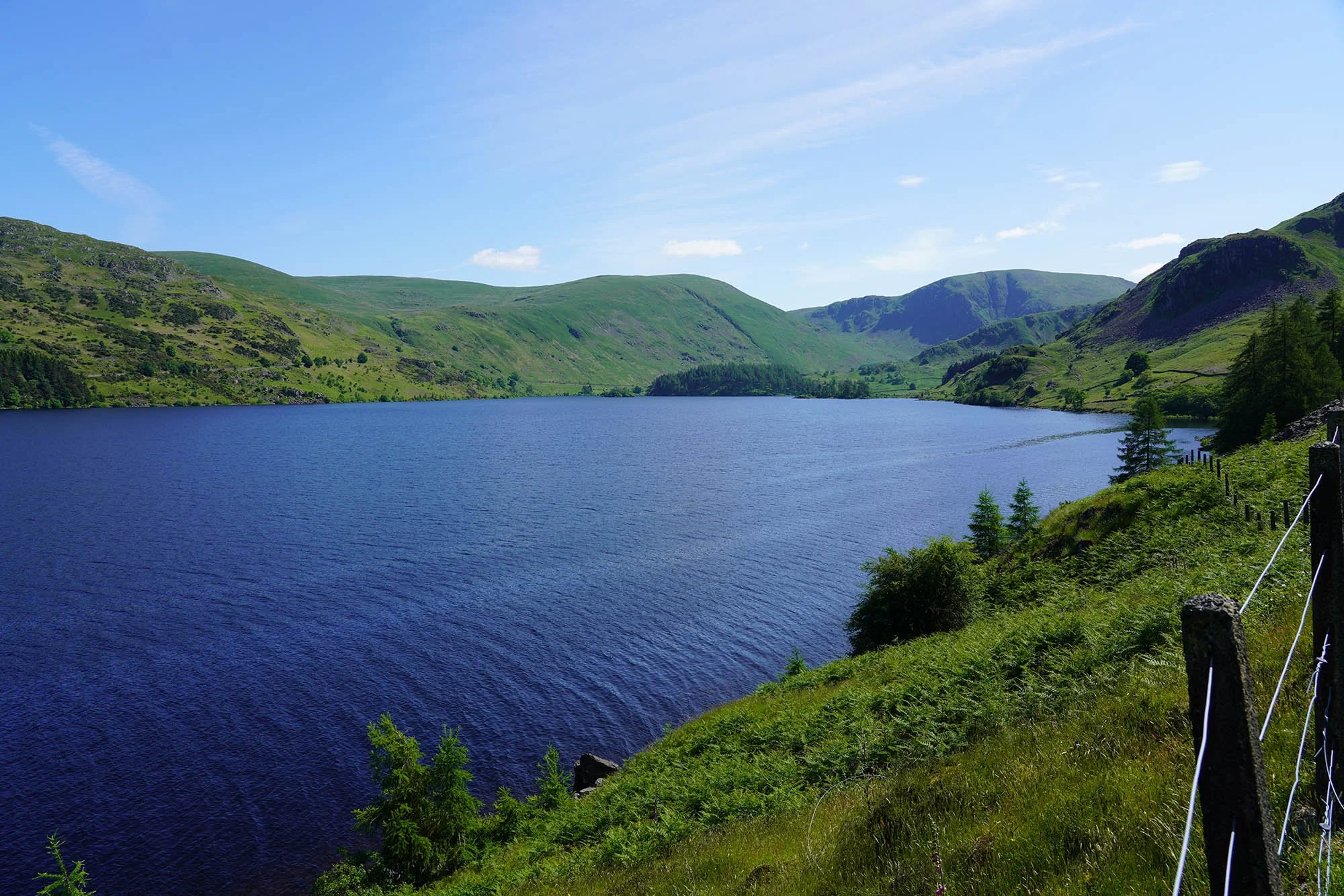
It was here we followed the entire edge of Haweswater up to the Dam.
Beautiful Haweswater.
It was 14:50 by this point and we still had around 6 miles left to go… possibly more.
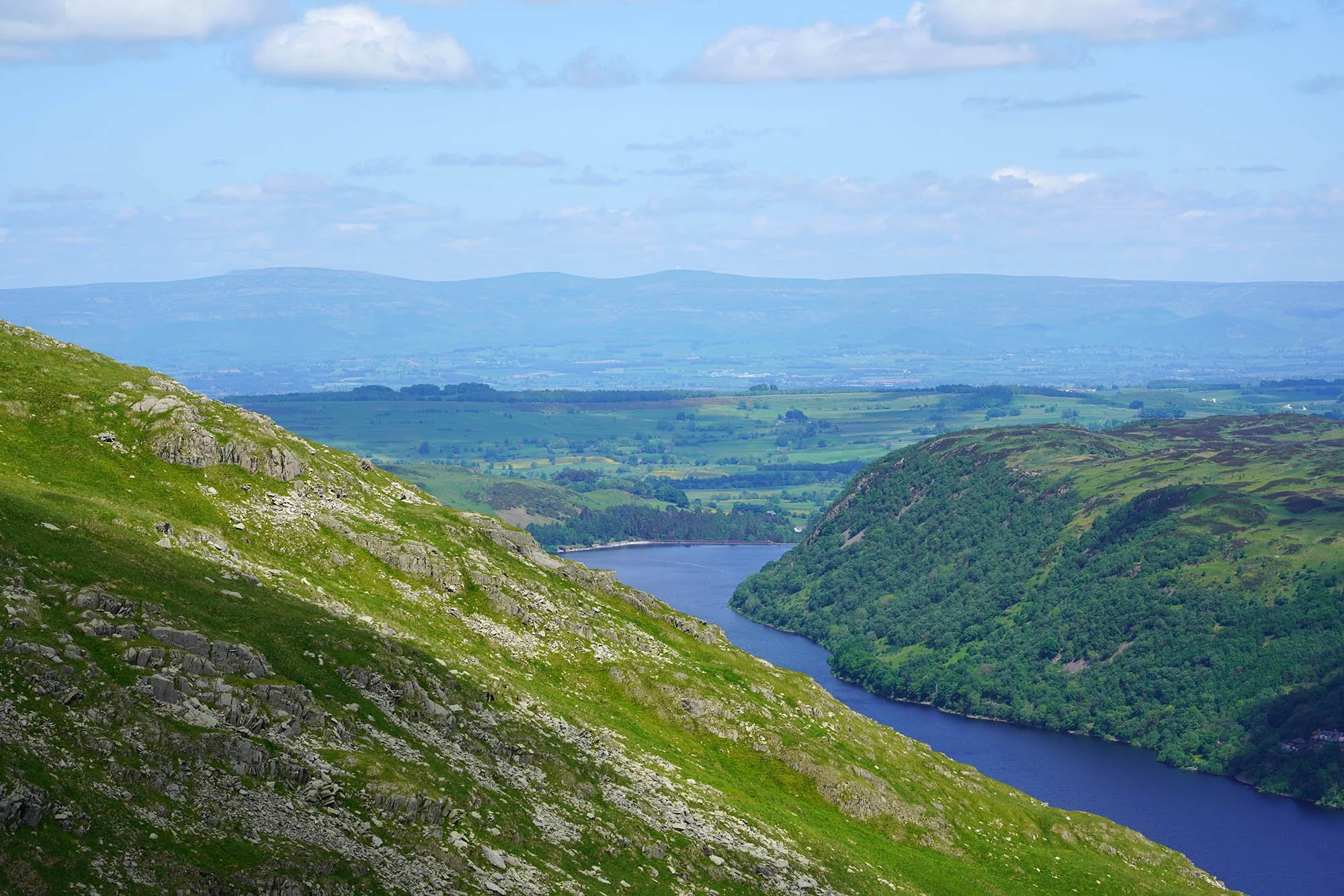
Nearing the Dam.

Thornthwaite Force.
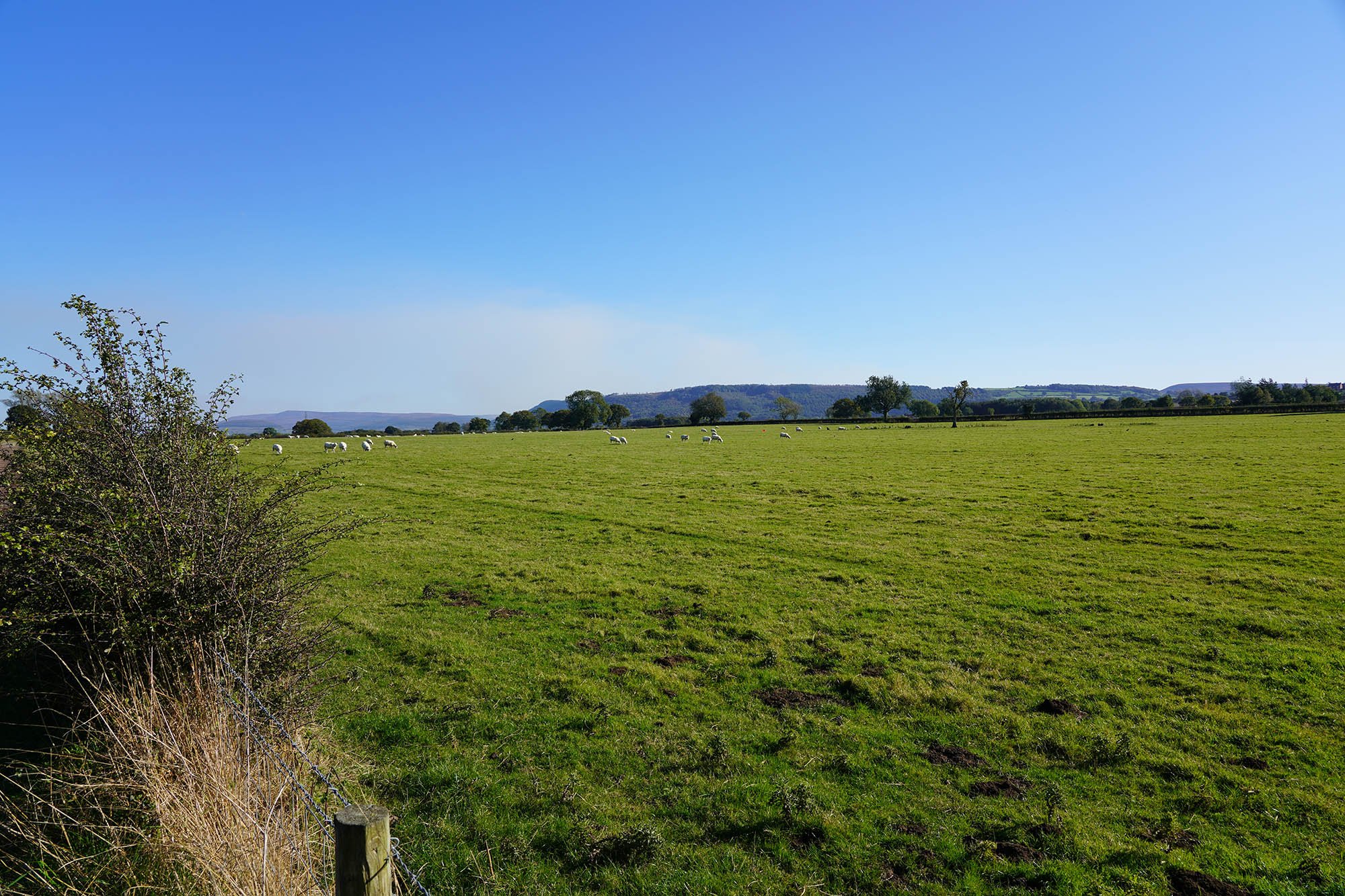
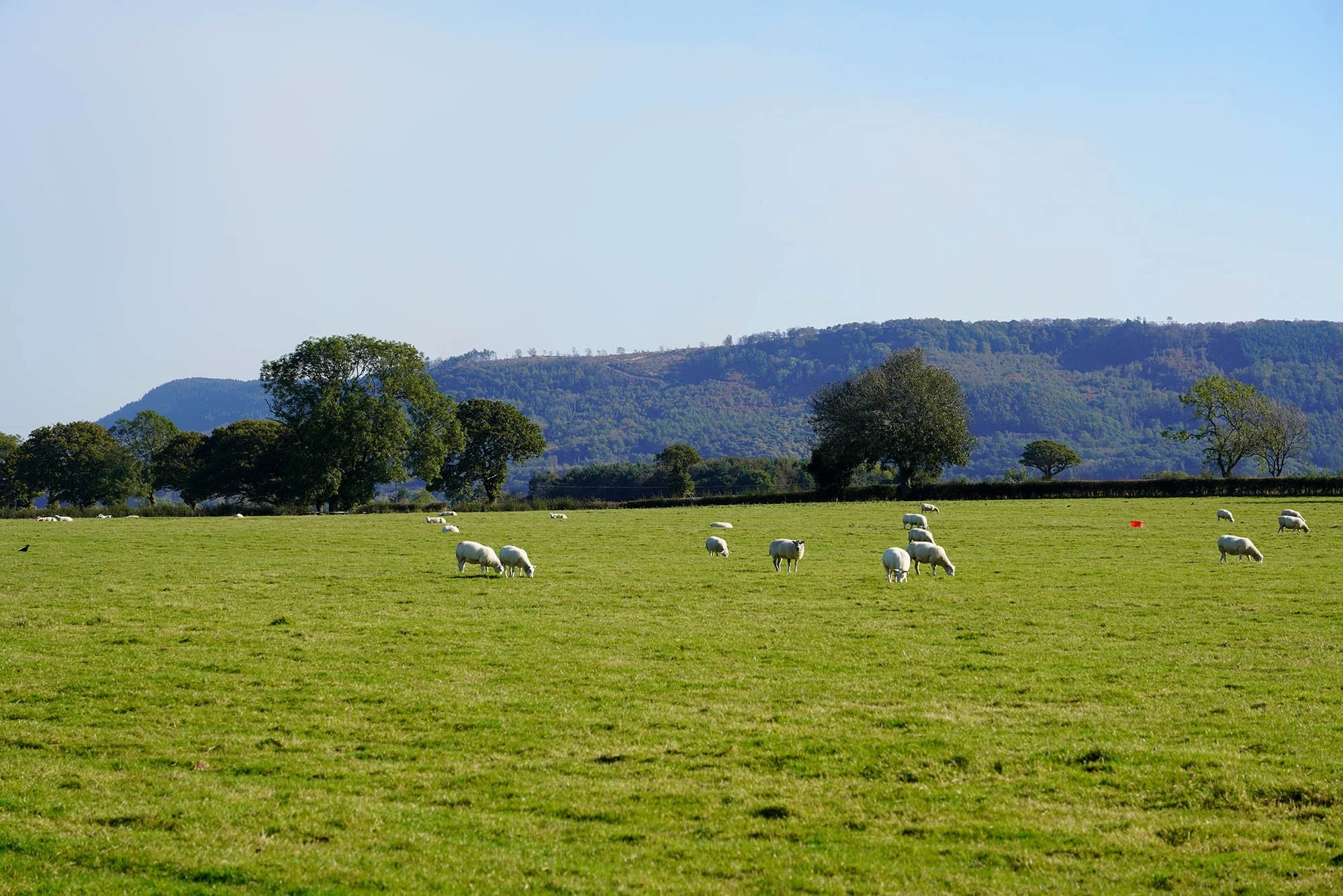
Heading through fields of wildflower meadow.
56 Miles done!
Parish Crag Bridge.
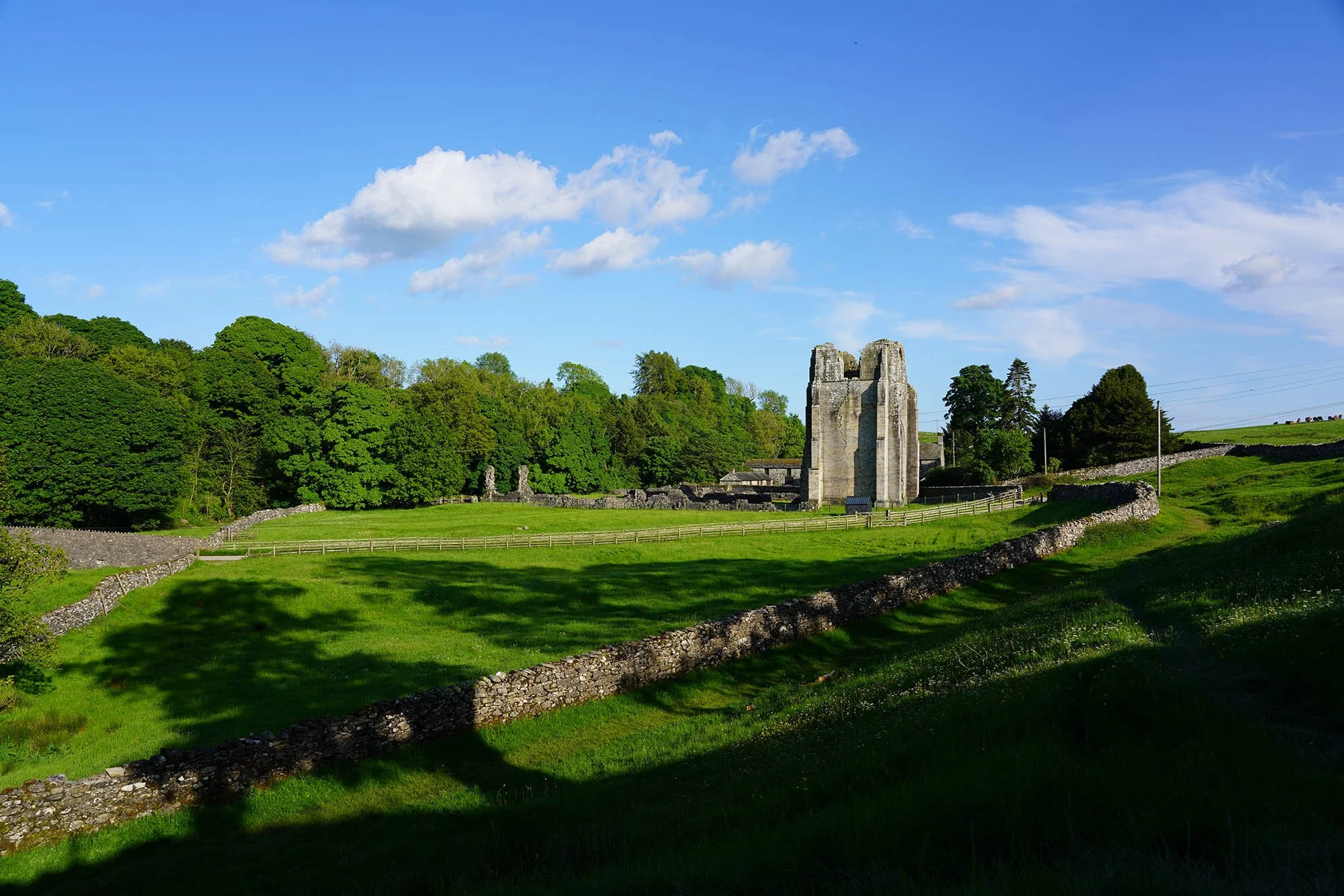
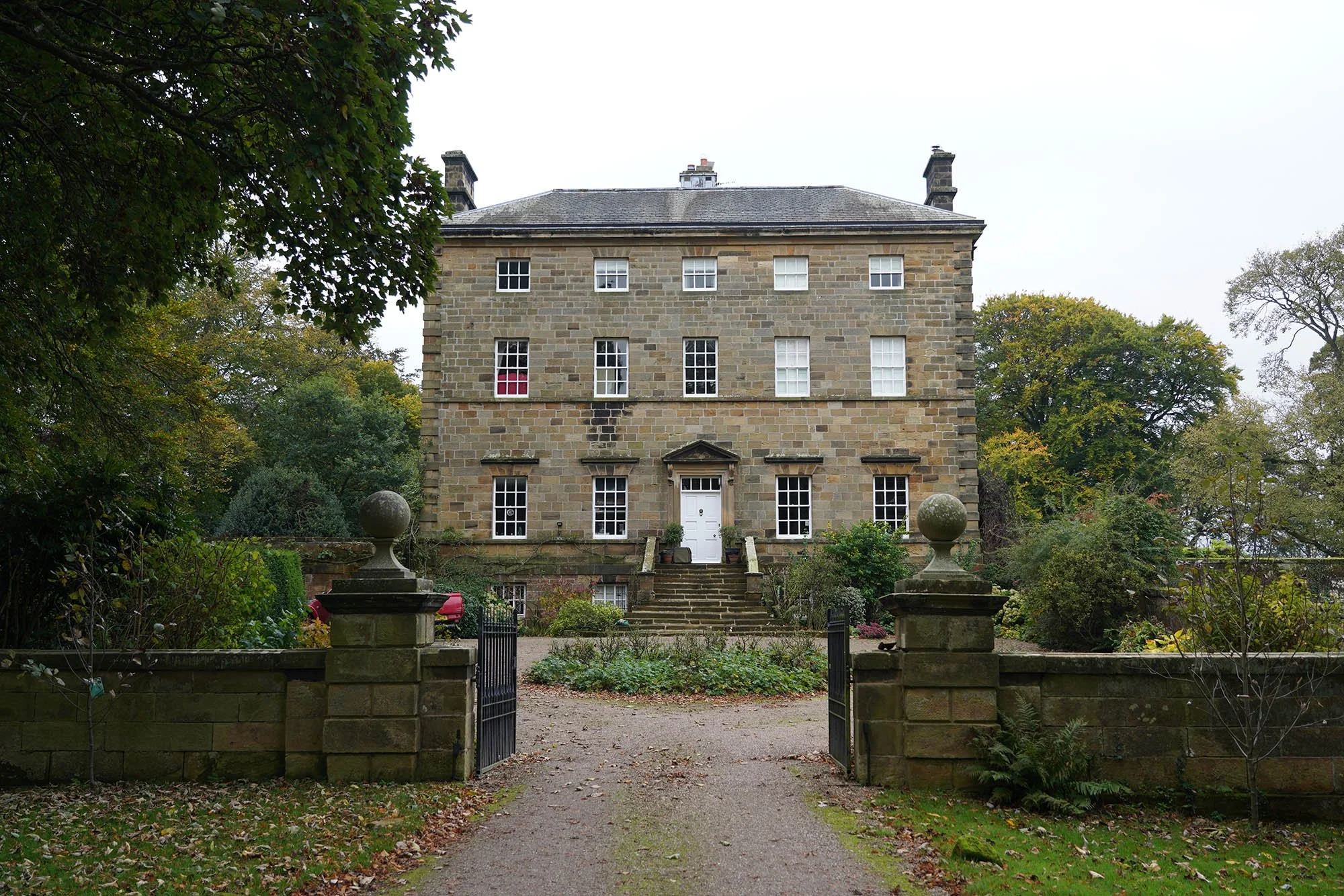
Leaving the Lake District National Park at Shap Abbey.
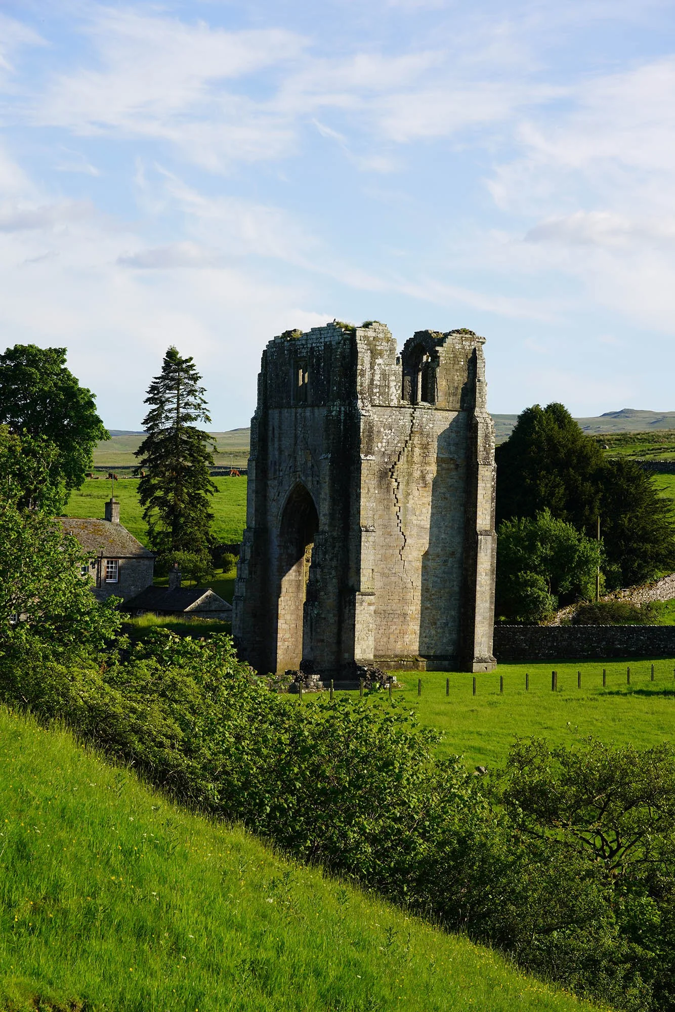
Shap Abbey. Sadly no time to look around it today as its gone 6pm already!
A view back to the west. The pointed peak you can see is Kidsty Pike… We were there earlier today and it seems unimaginable that we could have traversed that distance in a day. To add to that we ascended for 5 miles to reach Kidsty Pike so we walked so much further than the distance to the Pike.
Day 6: Shap to Newbiggin - 21.5km (446m of Ascent)
As we leave Shap we cross over the railway line with views to the fells.
Looking back along the lane to Kidsty Pike where we were at yesterday!
A wider shot looking back across the field to the Lakeland Fells. Kidsty Pike still seen well from this far away.
Kidsty Pike.
Having a sit and overlooking Nell’s Moss from Hardendale Nab.
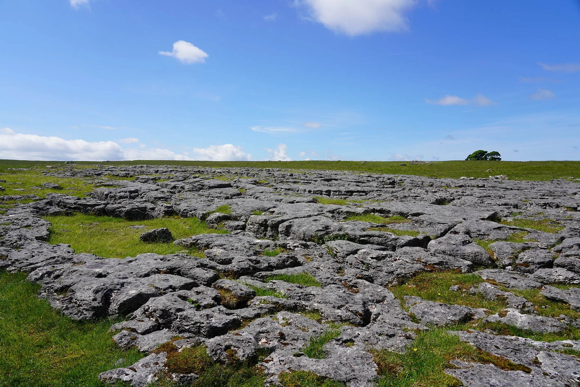
Limestone Pavement as we head off the path to look for the Stone Circle Wainwright loved to visit.
The inner circle of stones. To see the full circle its best viewed from the air (in the video!)
A view to Cross Fell from Hazel Moor.
Cross Fell and Little and Great Dun Fell.
The valley where Robin Hoods Grave is just down (Not actually where he was buried - its an old cairn).
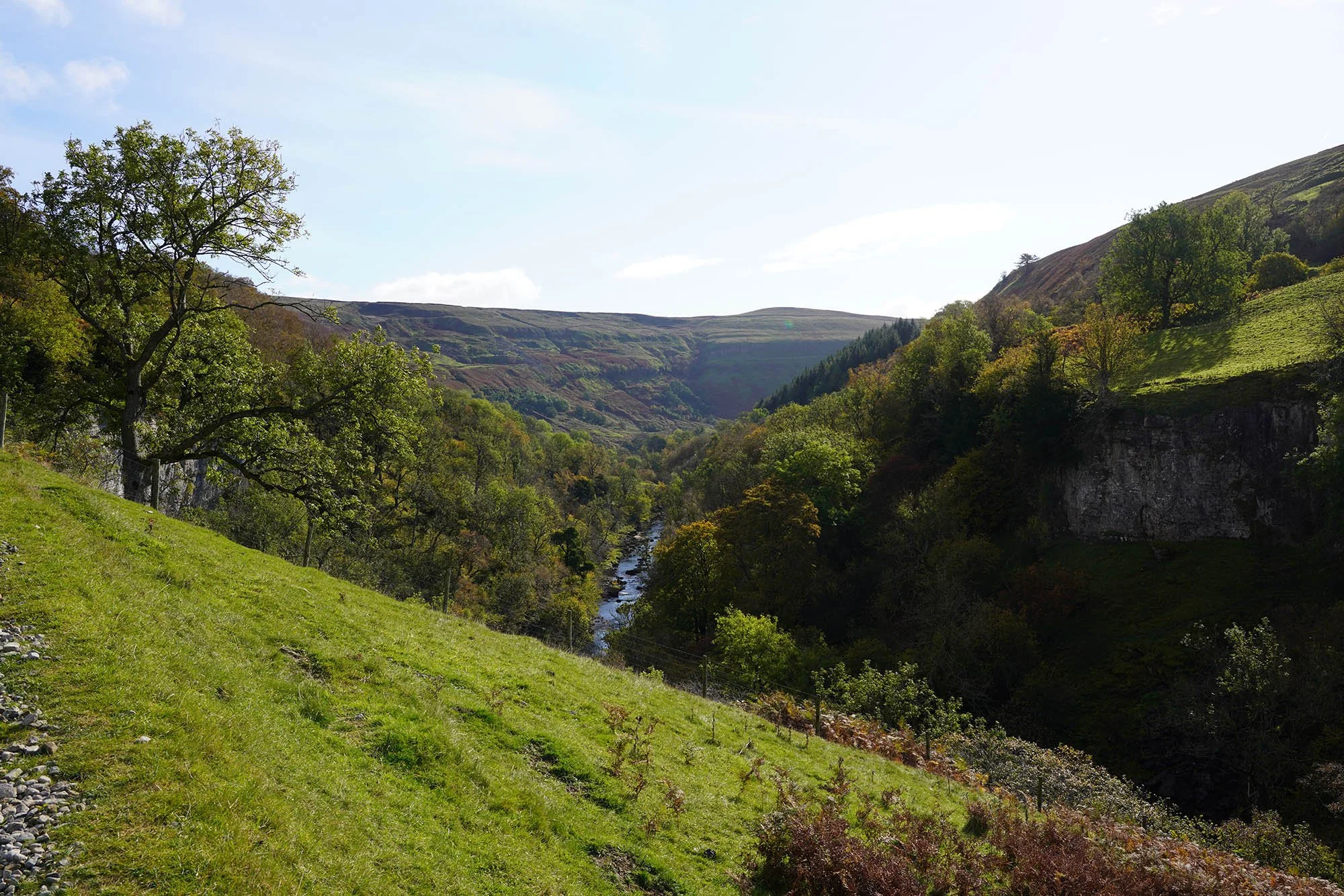
A view across the Eden Valley to High Cup Nick.
Cross Fell, Little Dun Fell and Great Dun Fell with the Observatory.
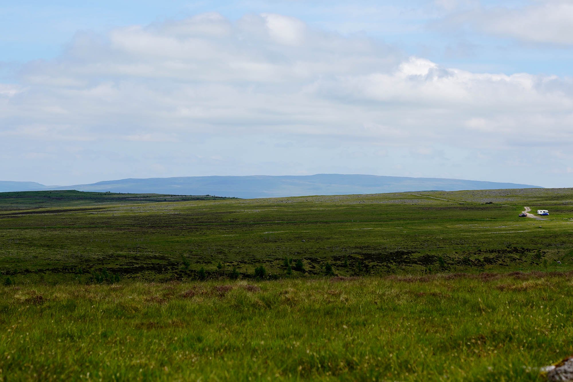
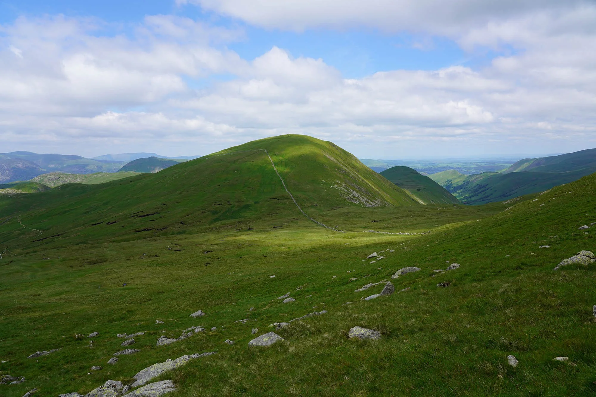
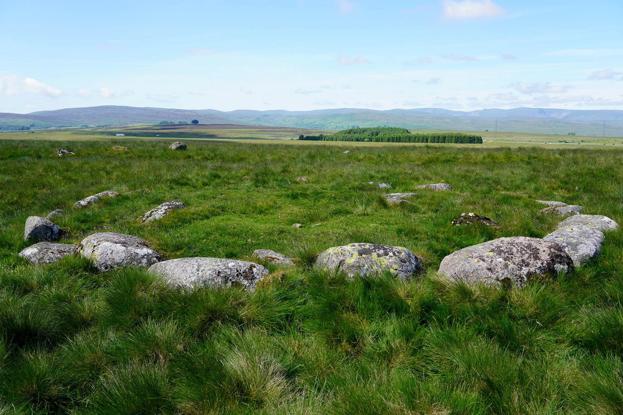
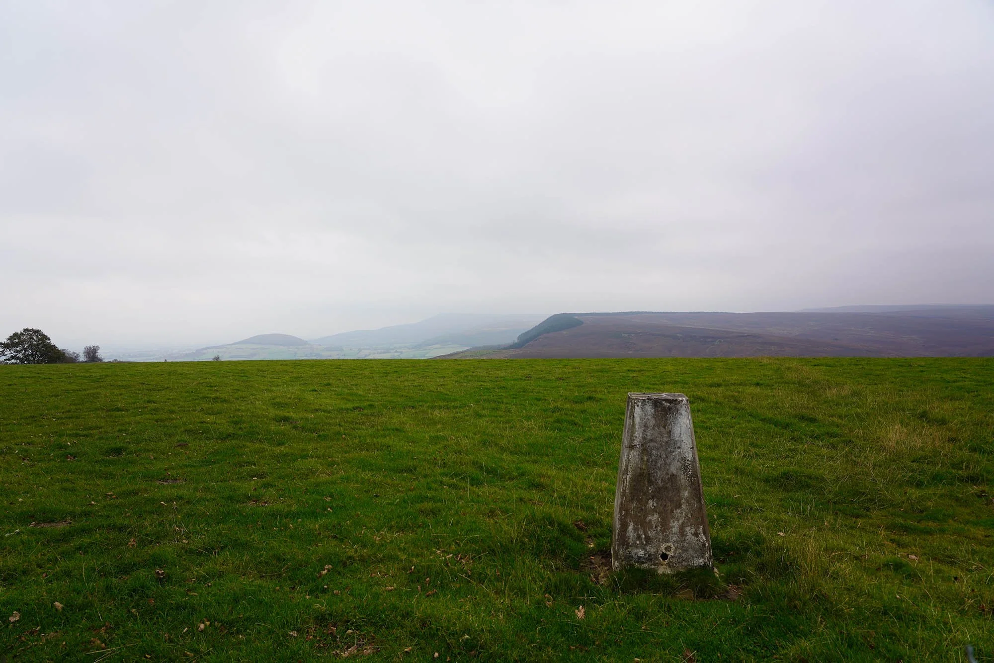
Nine Standards Rigg - our next summit!
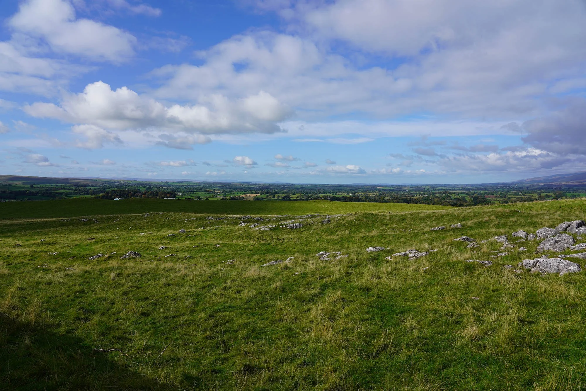
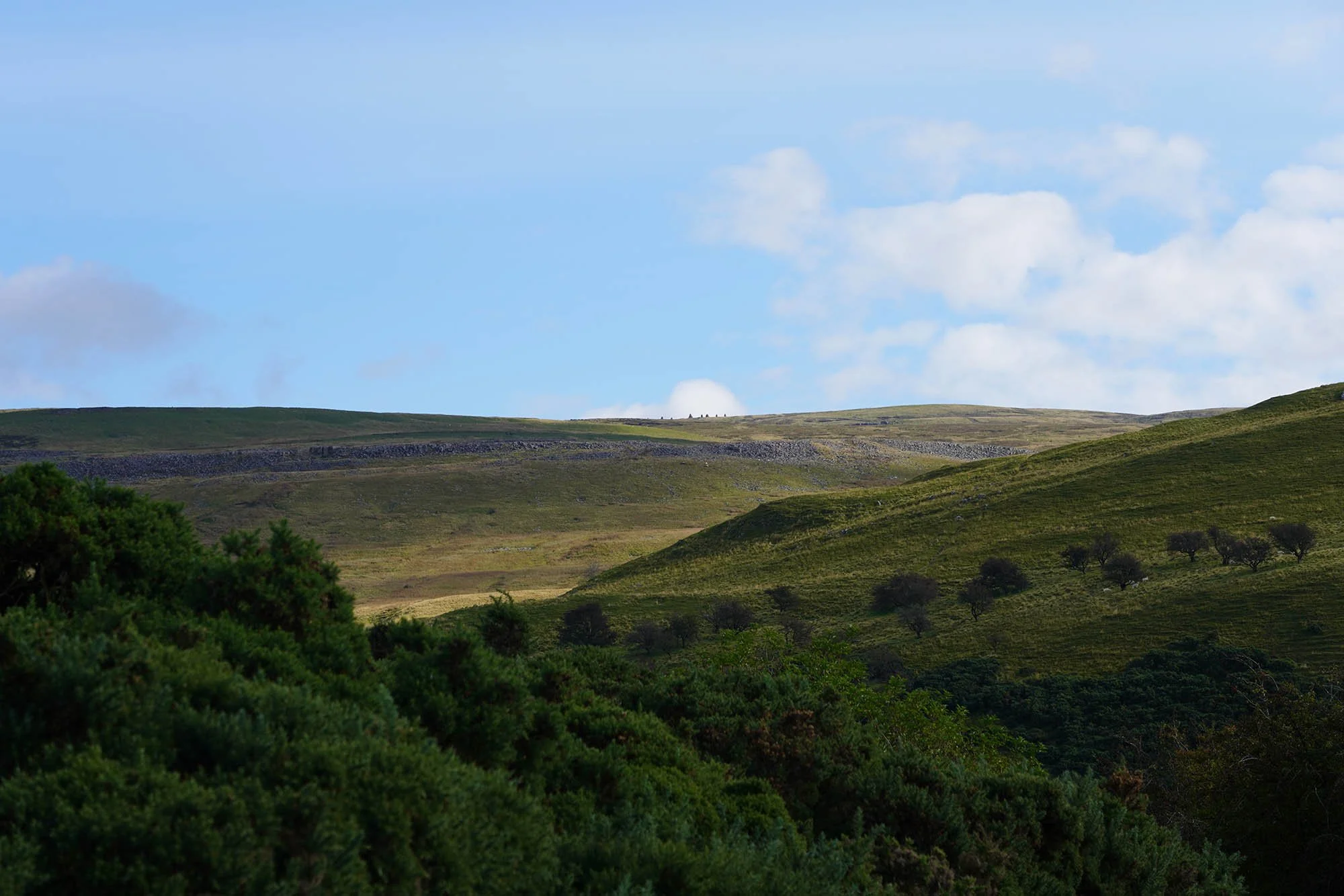
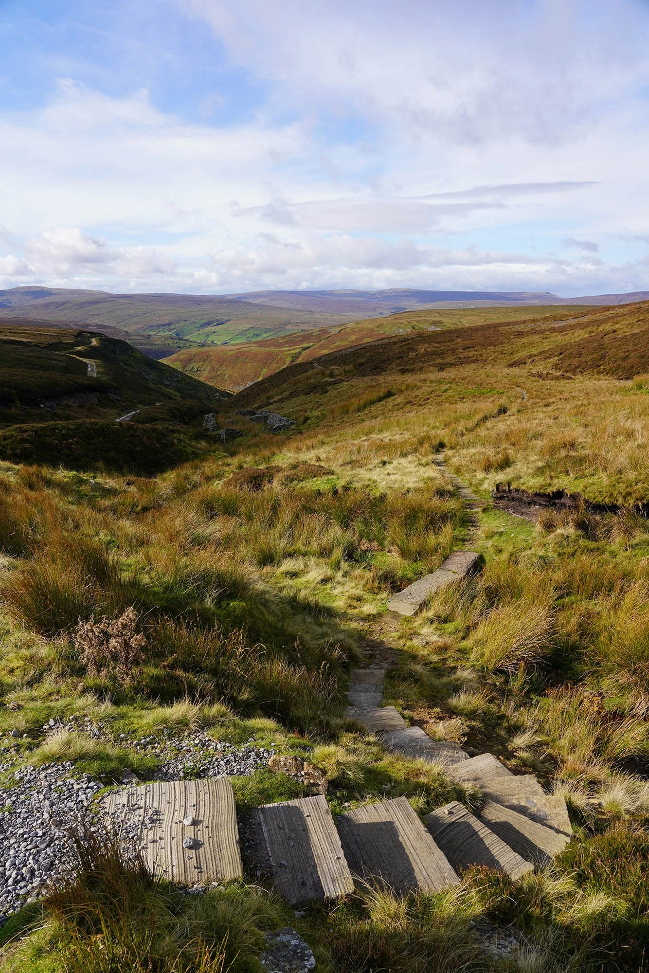
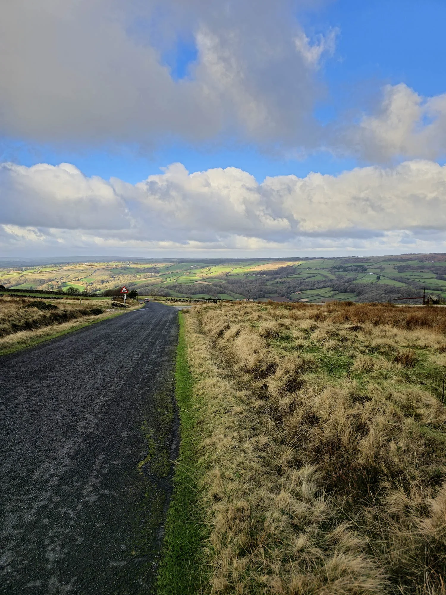
The view south to the Howgill Fells, an area I have never explored.
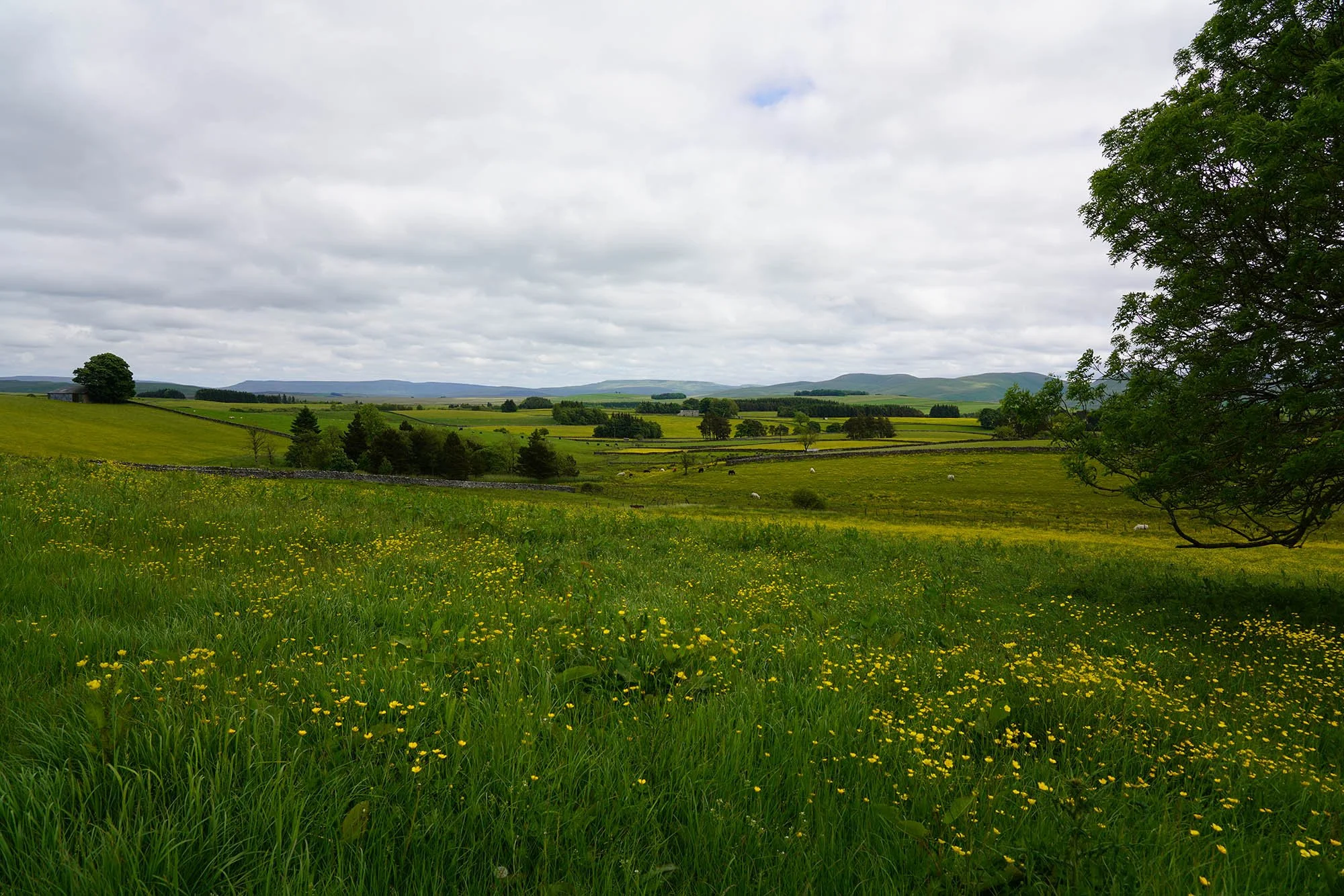
Stunning scenery and countryside.
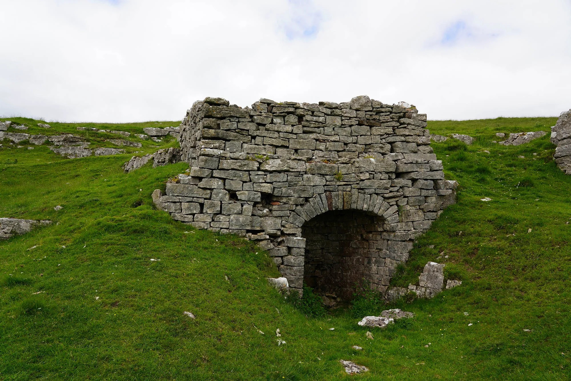
An old Lime Kiln just near Orton.
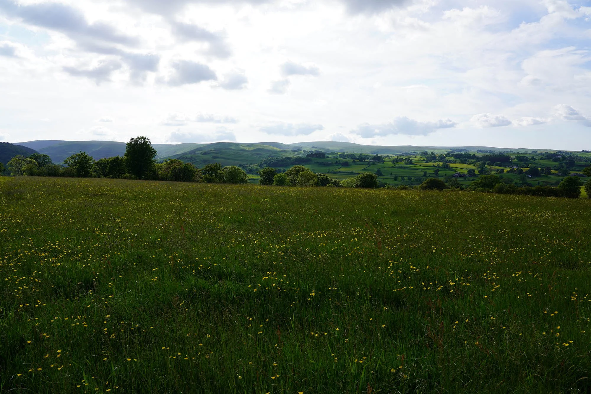
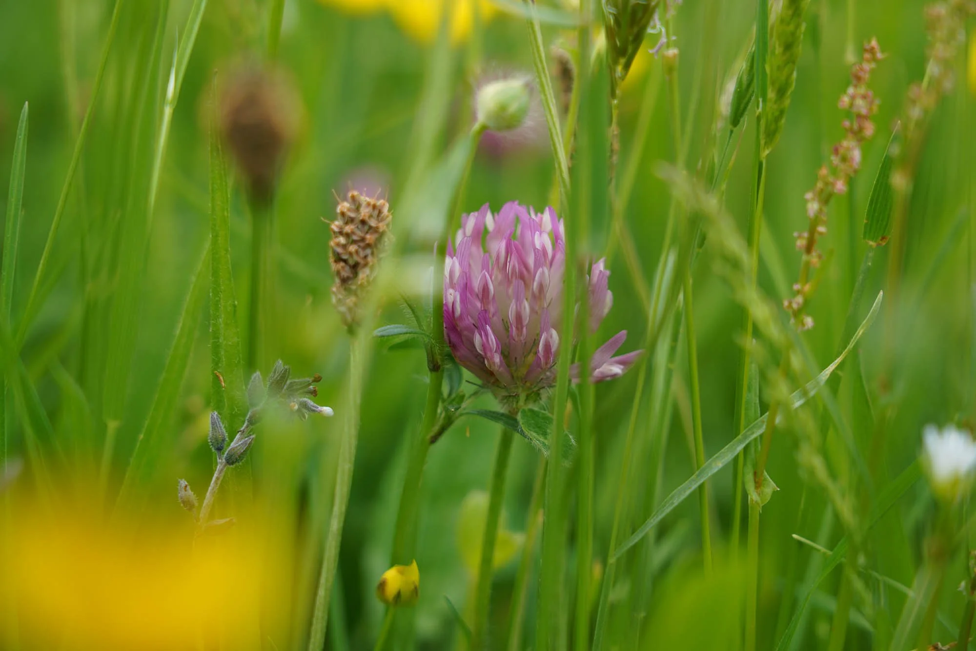
We passed through several stunning wildflower meadows.
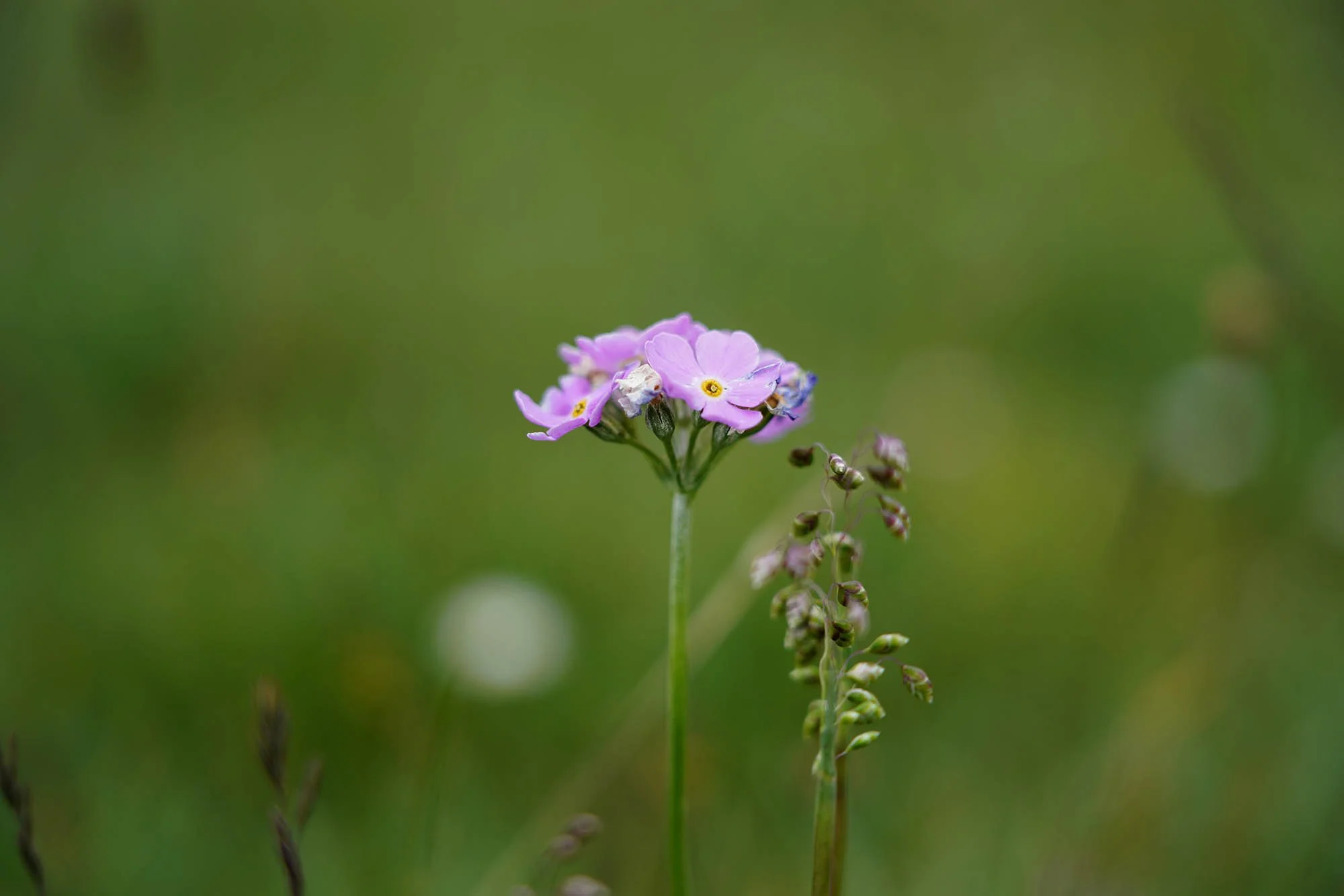
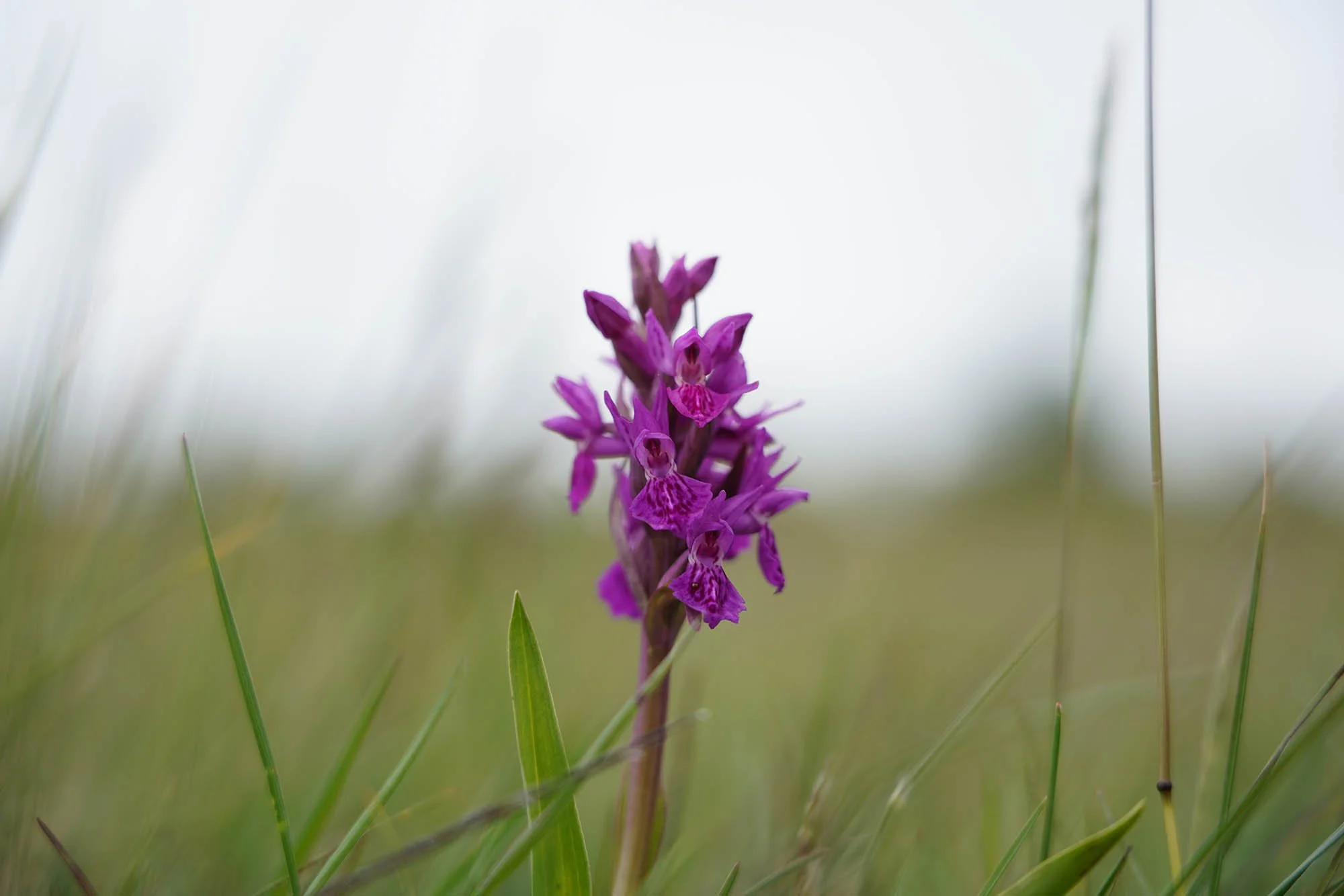
A possible Marsh Orchid?
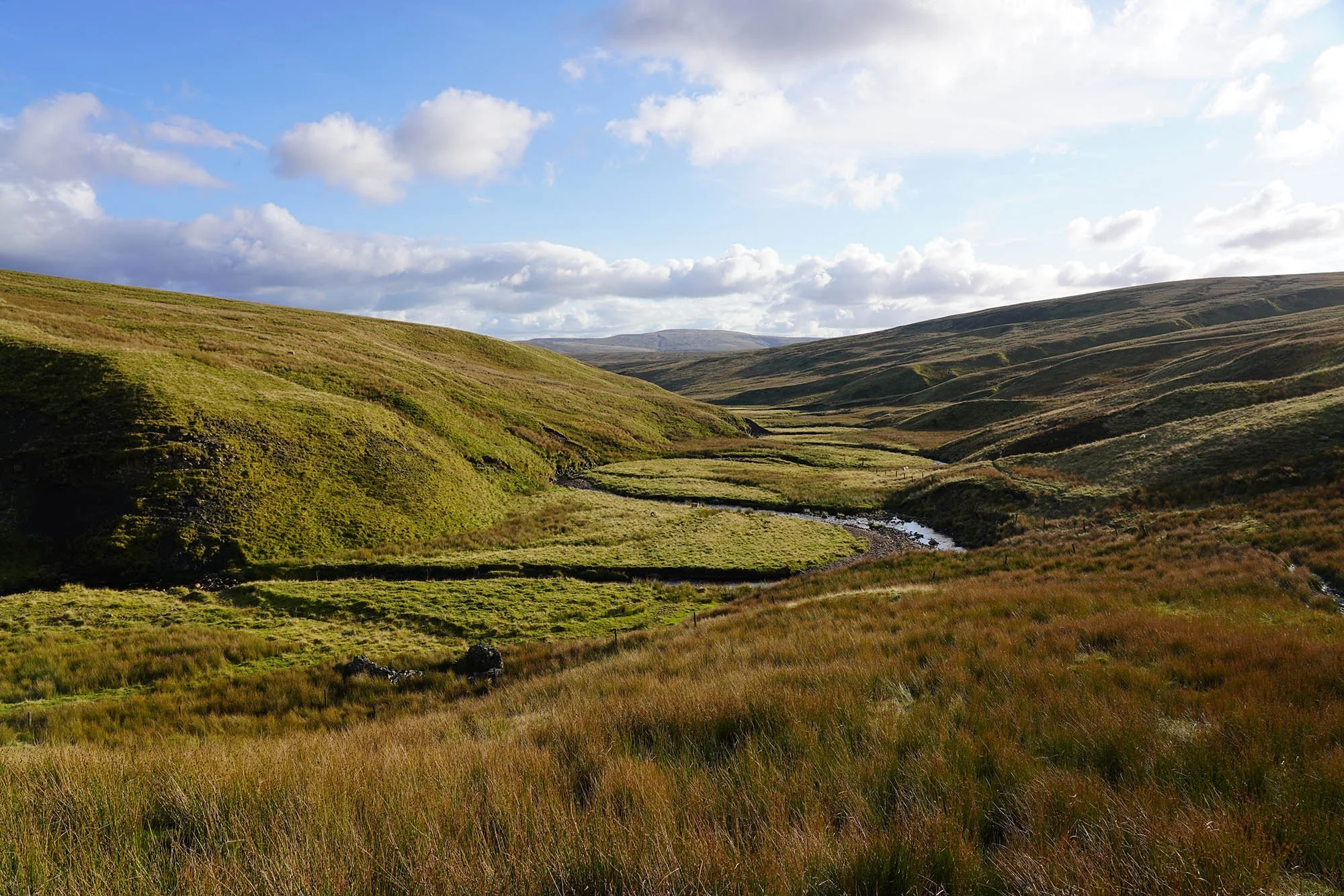
Day 7: Newbiggin to Kirkby Stephen - 11km (218m of Ascent)
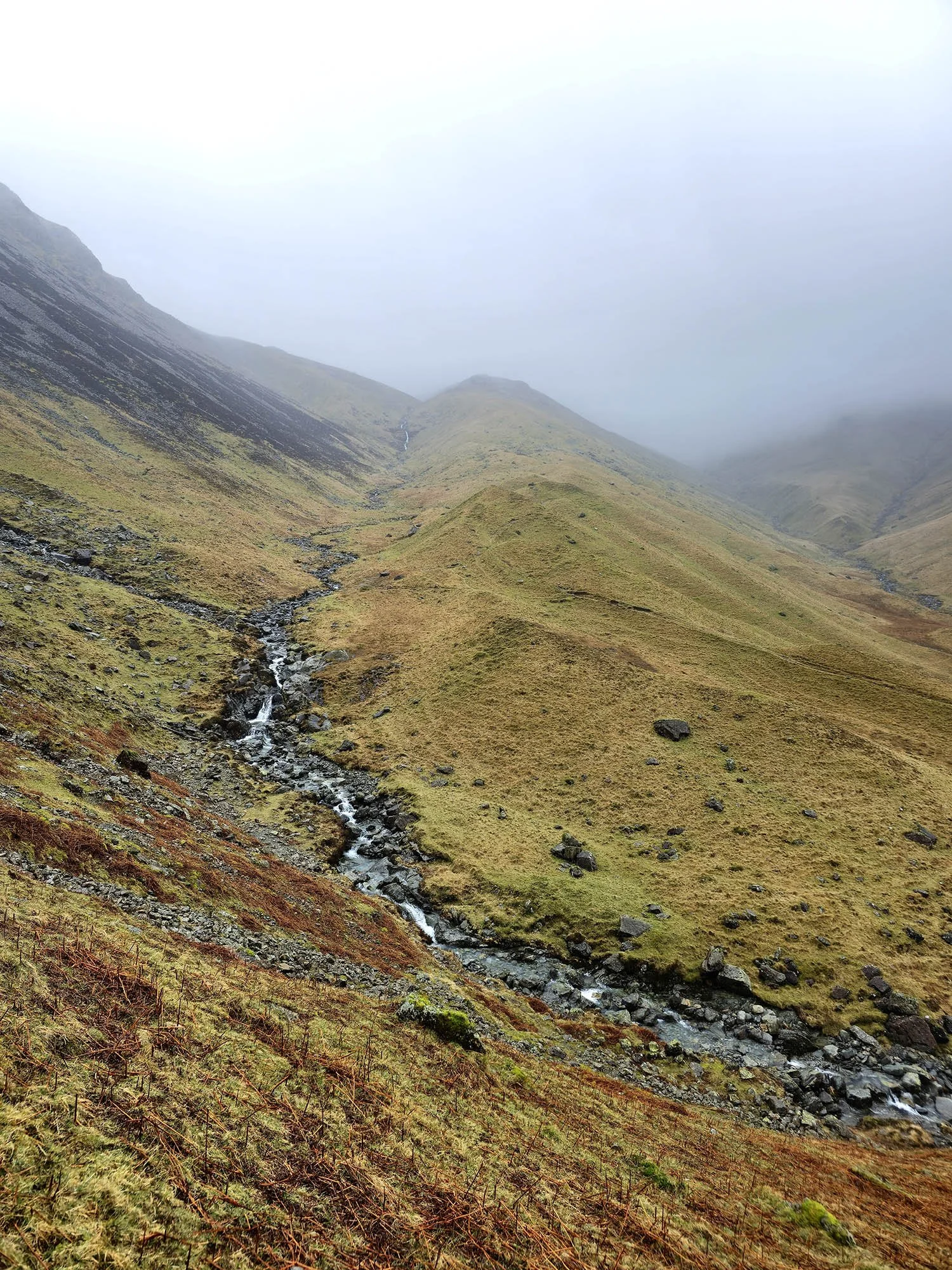
With only 11km to complete today we could take it nice and easy and really enjoy the scenery. Here we are heading down into Smardale.
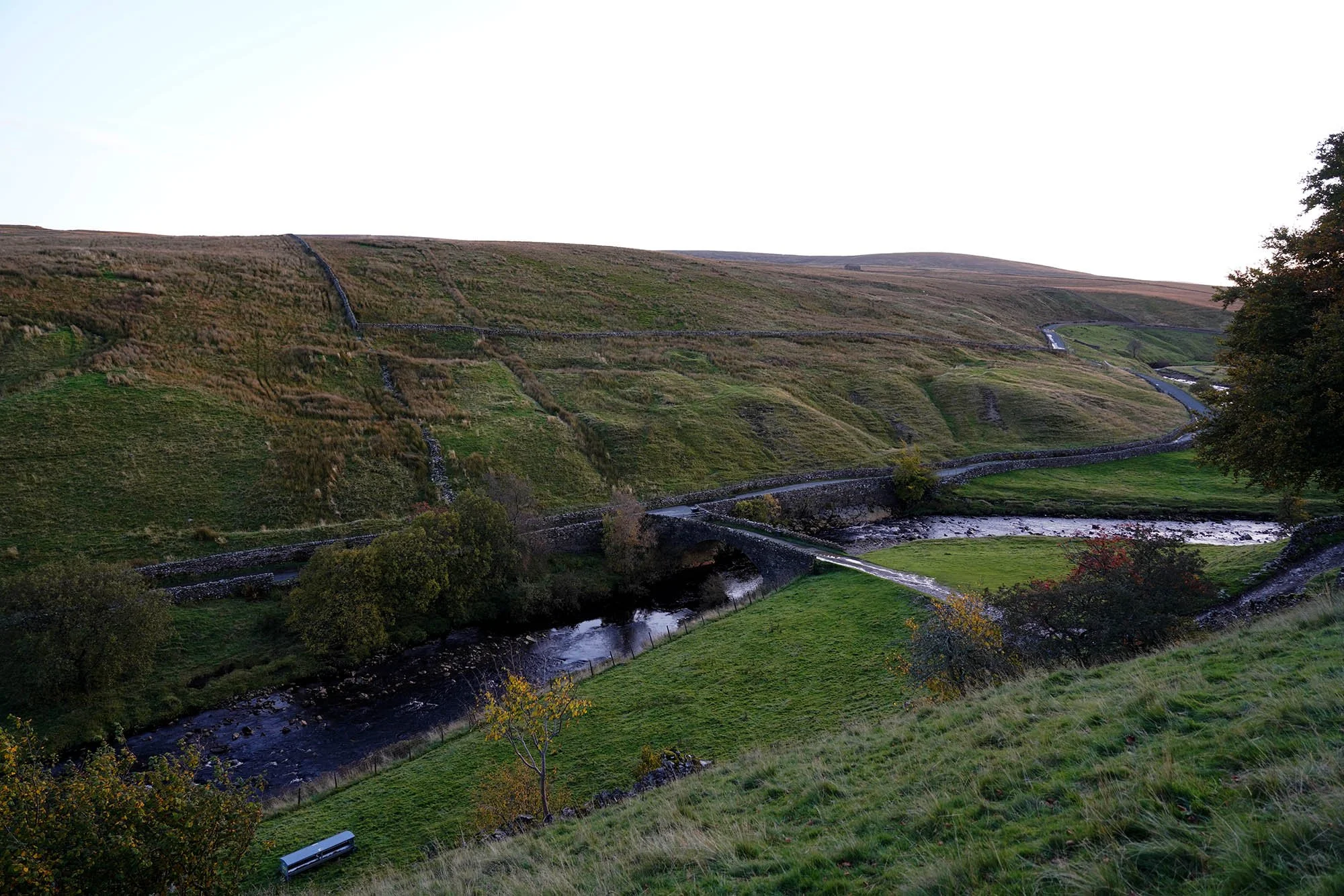
The line of the old railway at Smardale.
Smardale Bridge down below.
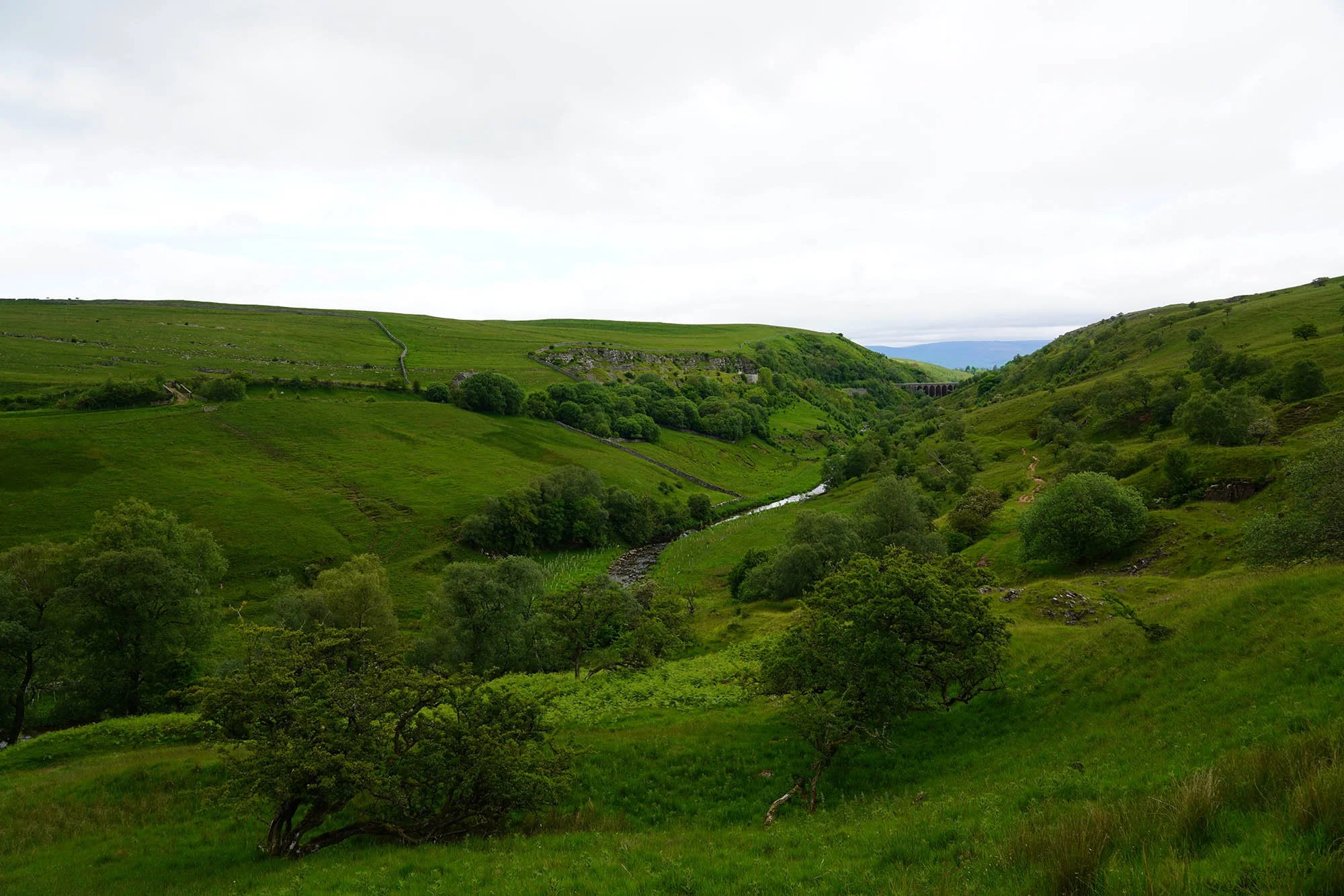
A view across to Smardalegill Viaduct.
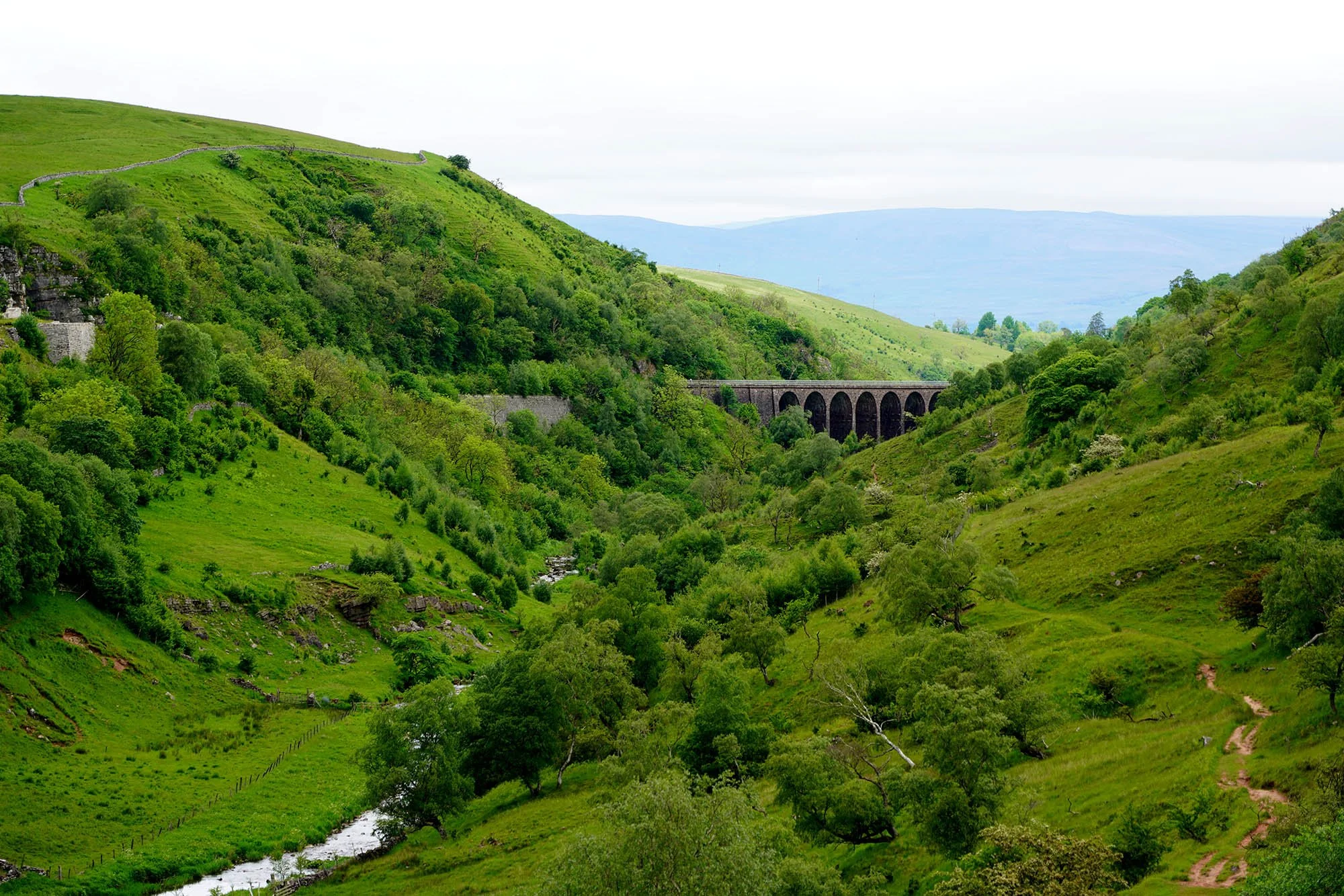
Zooming in on the Viaduct.
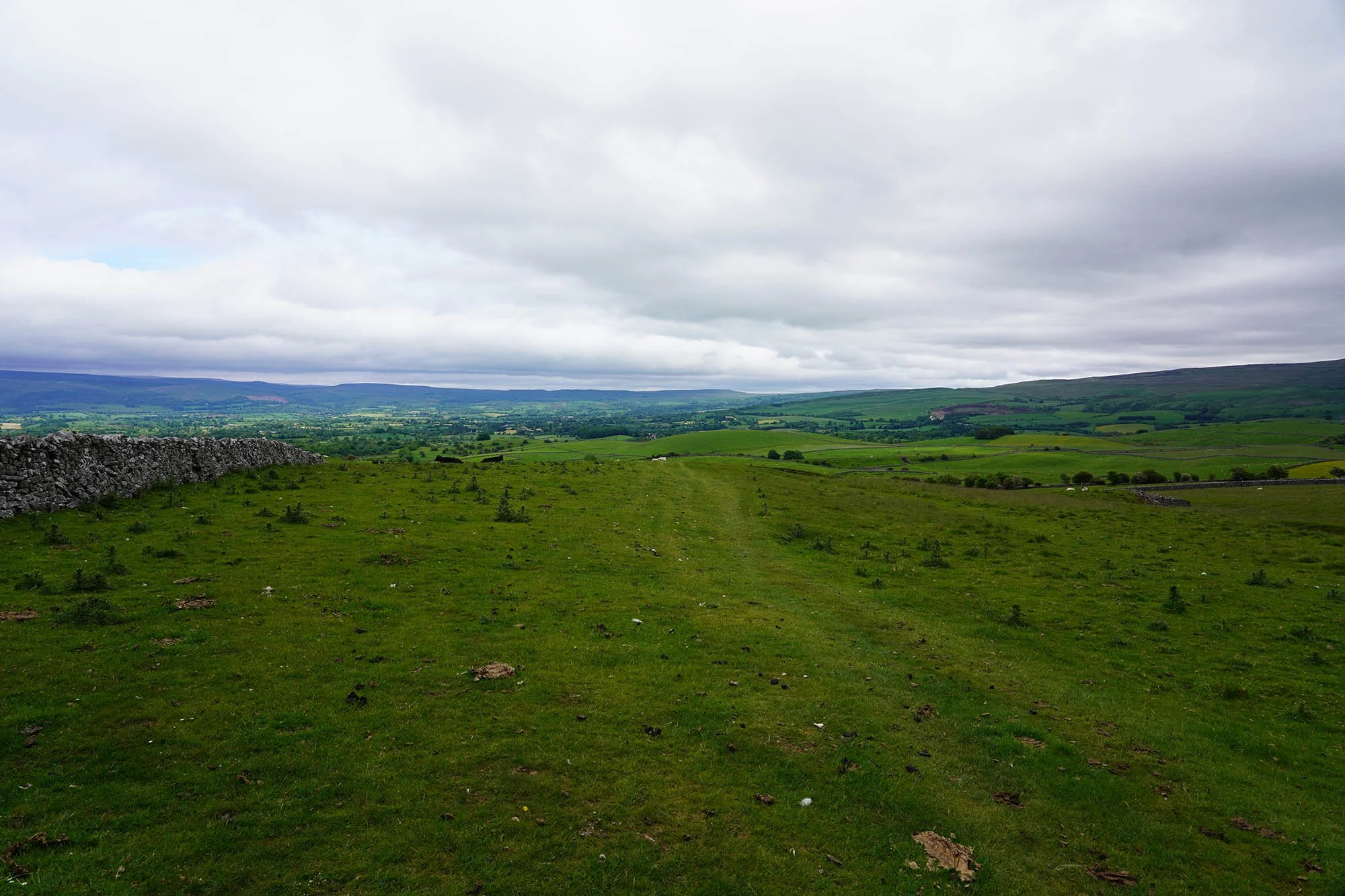
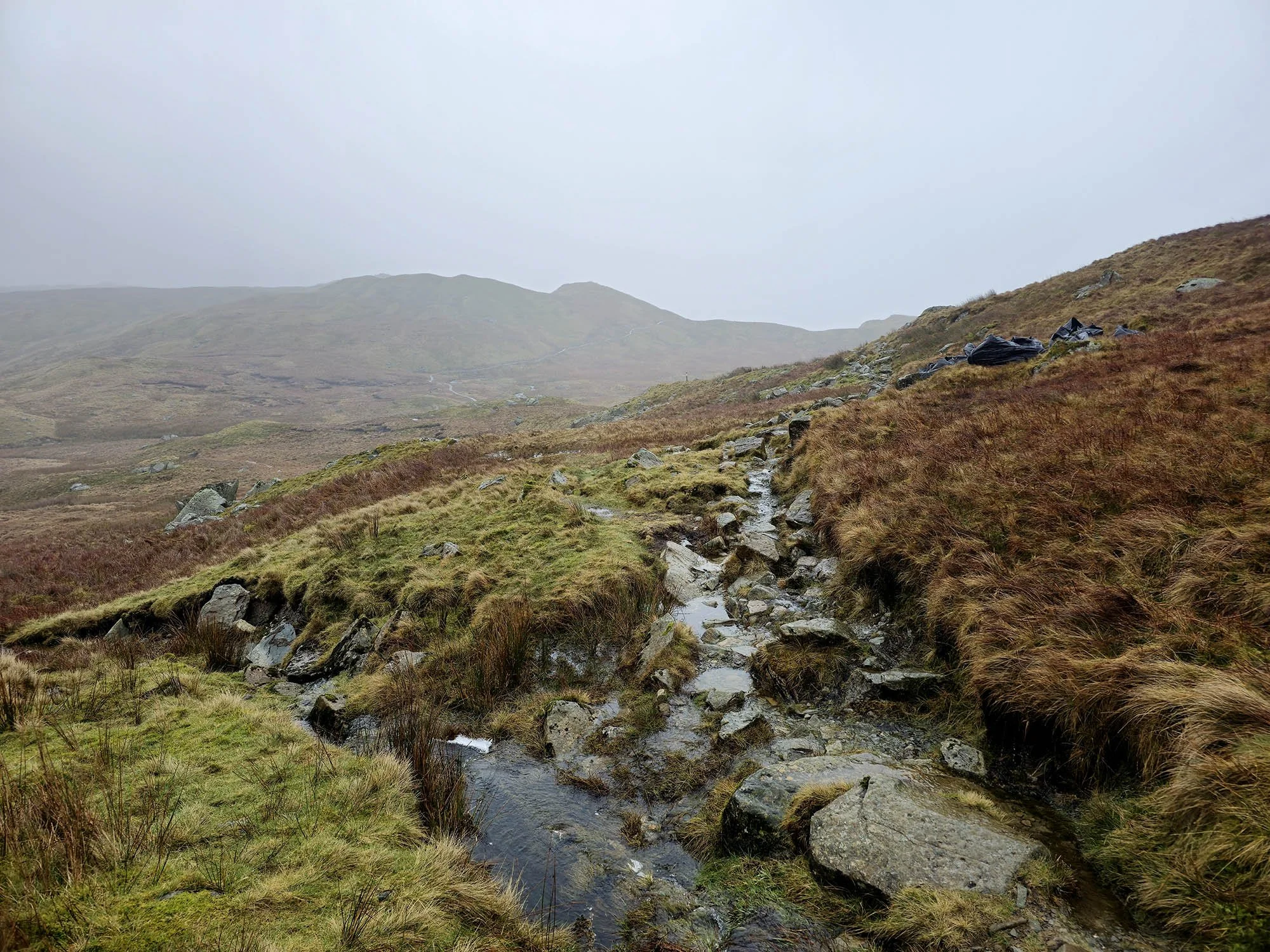
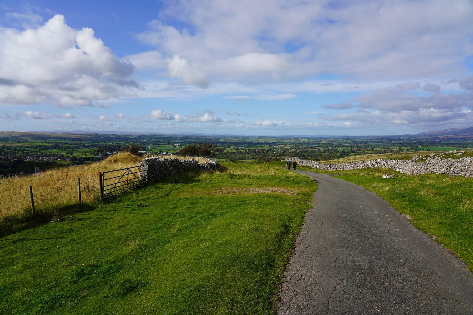
We headed back up onto the plateau of Smardale Fell and headed north west to Kirkby Stephen.
Nine Standards Rigg across what remains of the Eden Valley - Next time we will be up there!
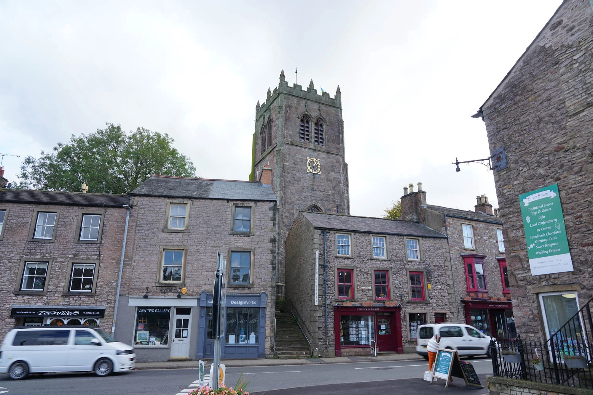
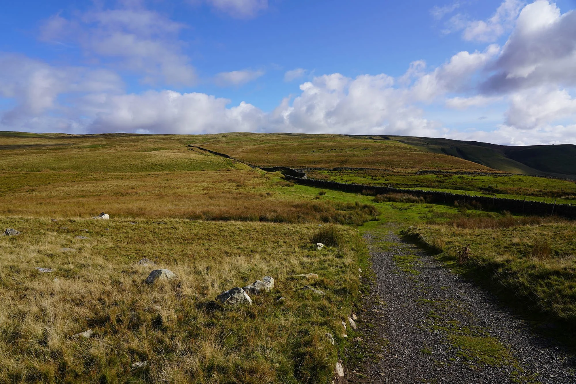
Day 8 - Kirkby Stephen to Keld - 19.7km (666m of Ascent)
Its been several months (4 to be exact) since we were on the trail and we have a 6 day window to get as much done as we can - hopefully well into the Yorkshire Moors before this trip is over.
Setting off late today from Kirkby Stephen.
A lovely afternoon today with plenty of sunshine.
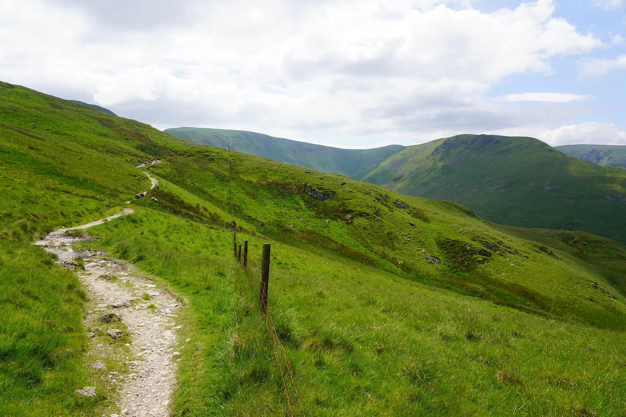
Gaining height slowly as we head east from Kirkby Stephen.
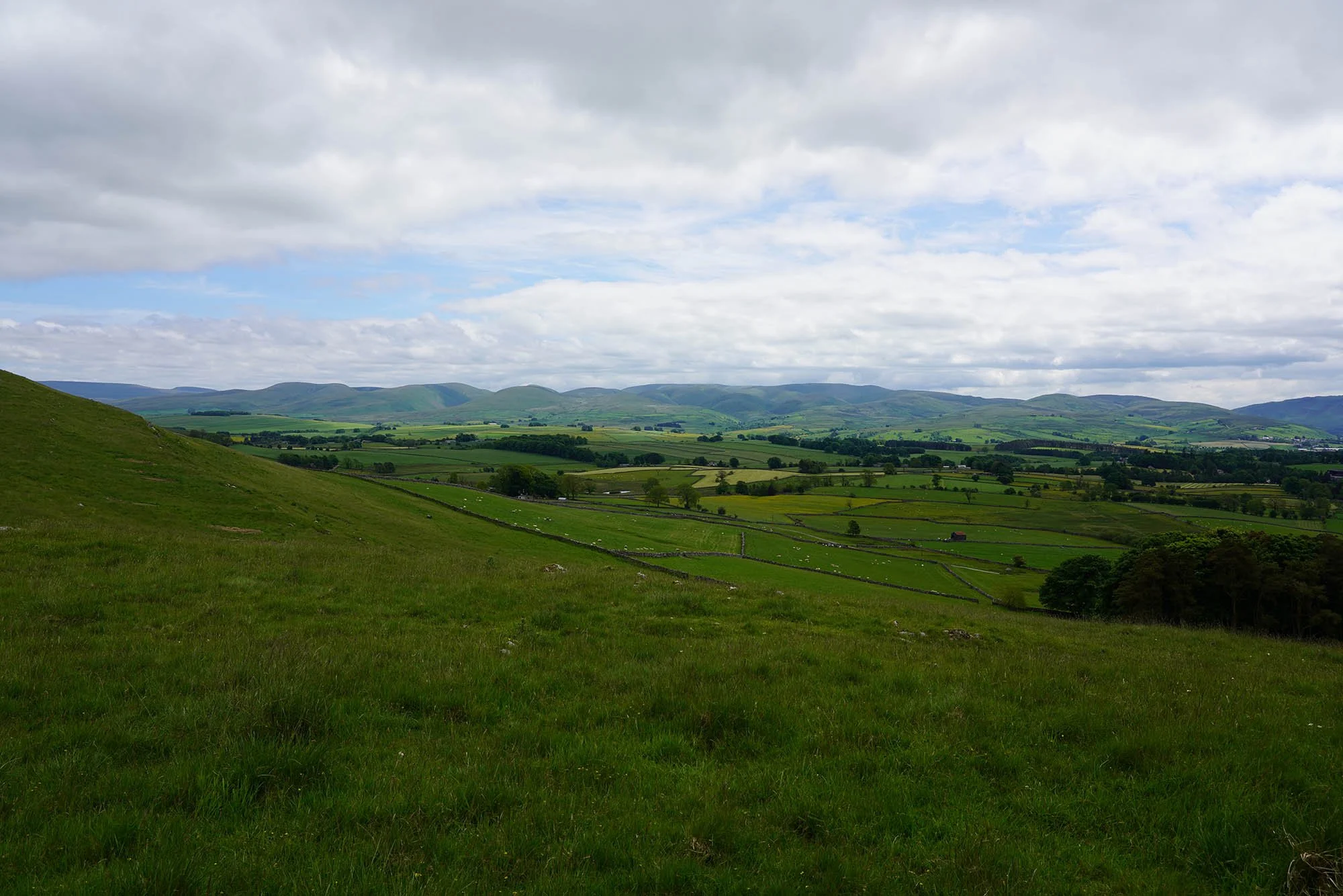
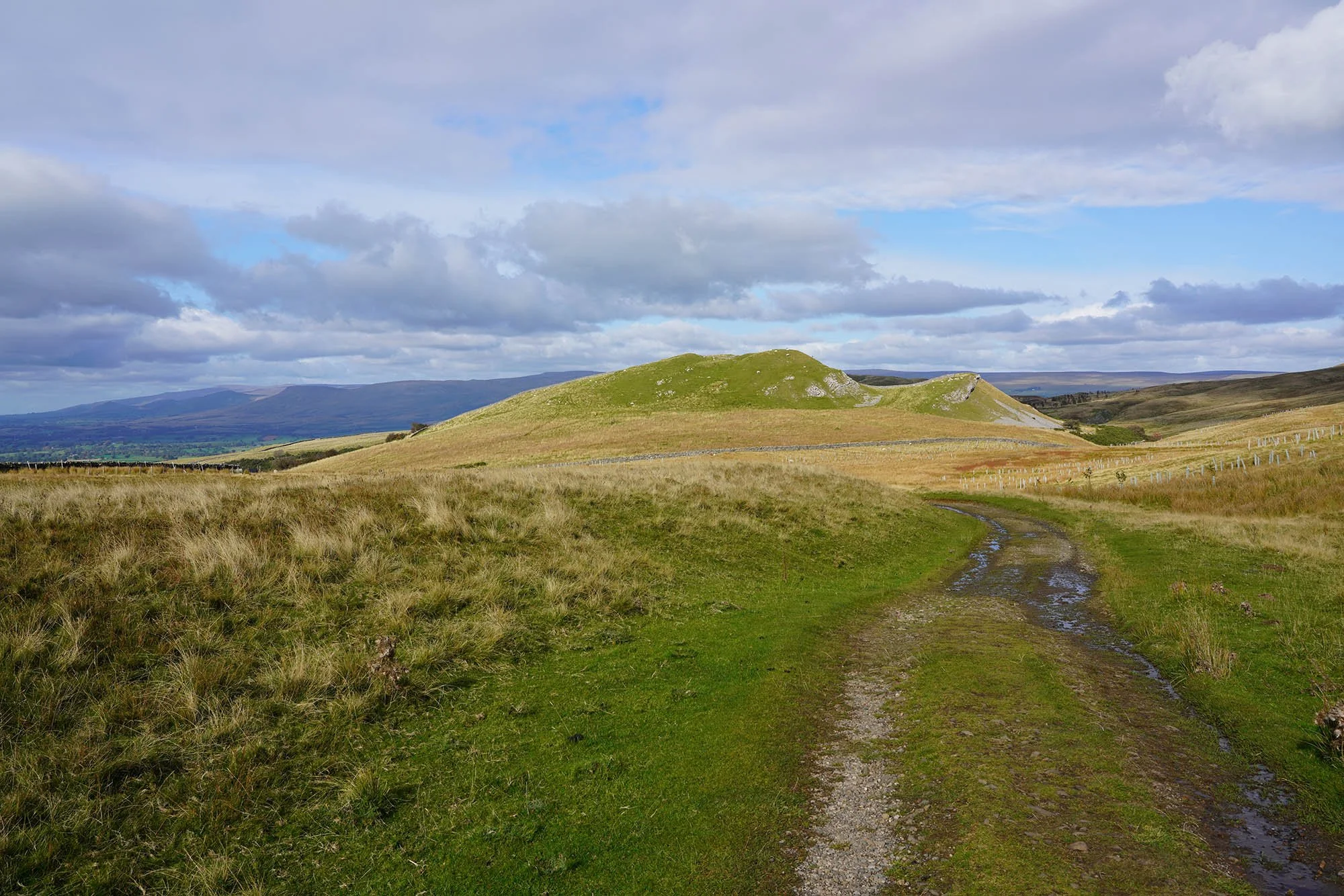
A view south to the Howgills and the pointed peak on the left is Wild Boar Fell.
The lane is followed to a height of 350m. Here we are looking back to the lakeland fells.
The cairns on Nine Standards up ahead.
Birkett Hill (405m).
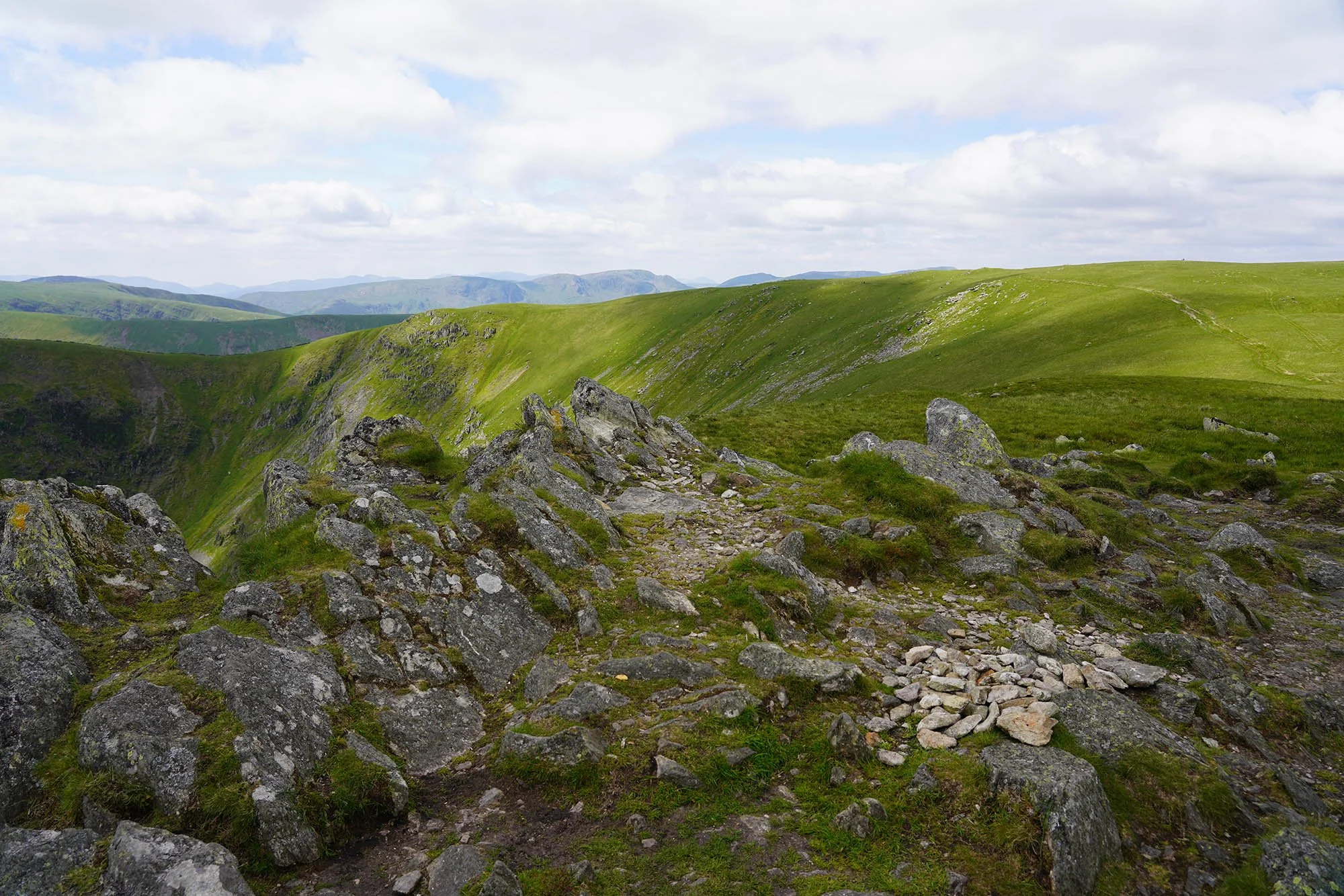
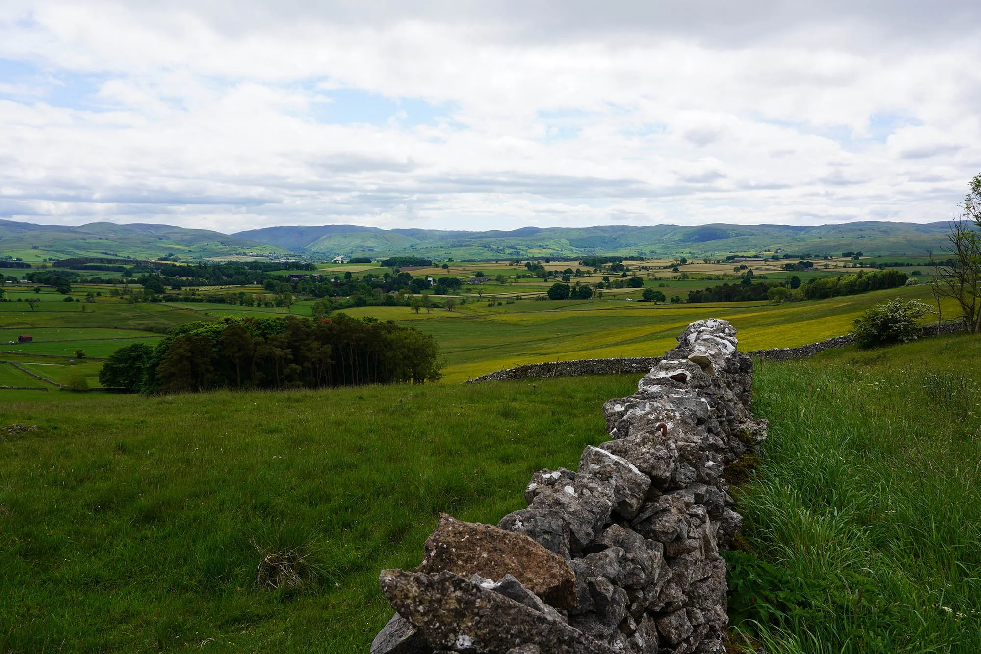
Following the wall briefly before we turned left and headed across the moor to the summit.
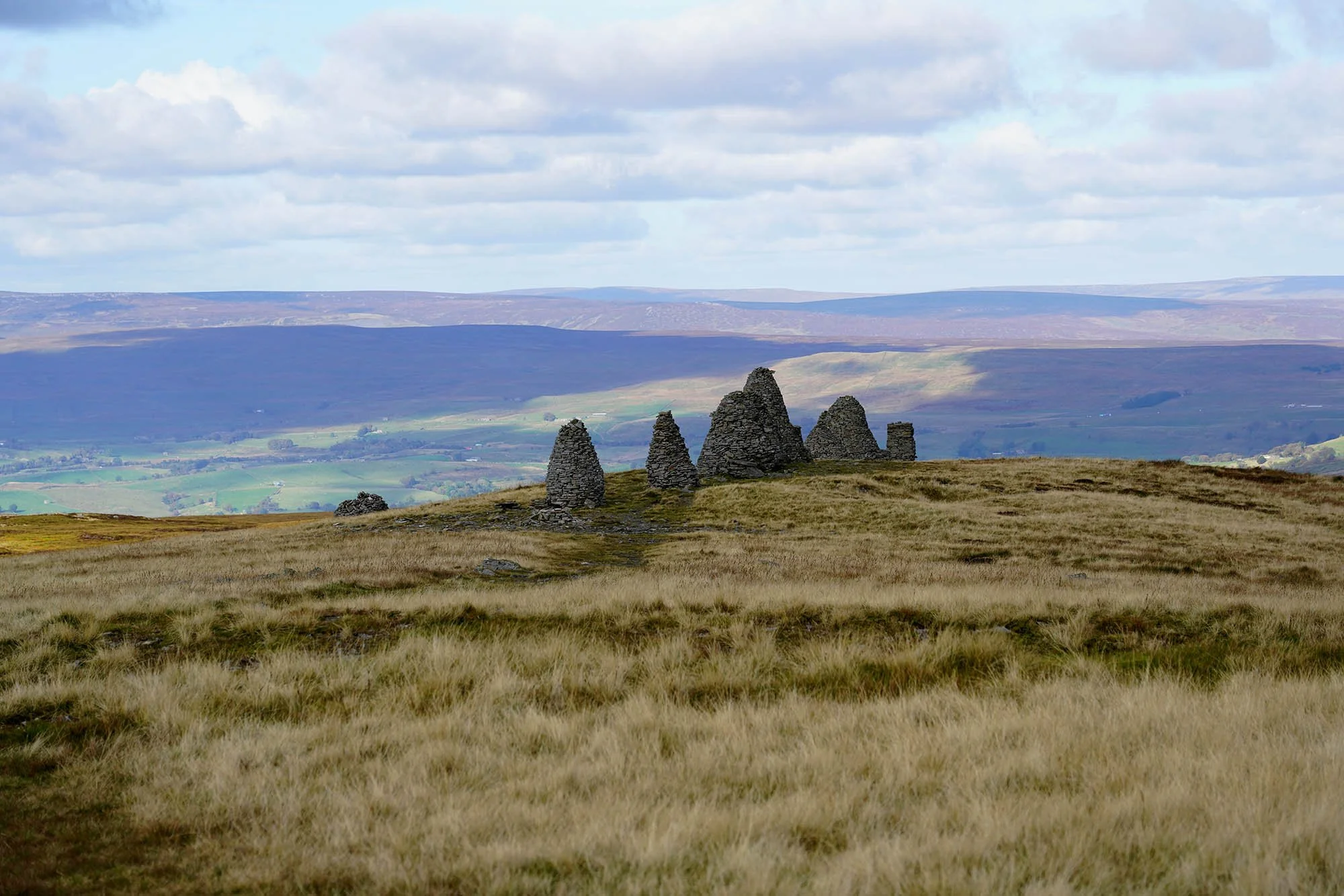
The cairns on Nine Standards. Probably at least 800 years old.
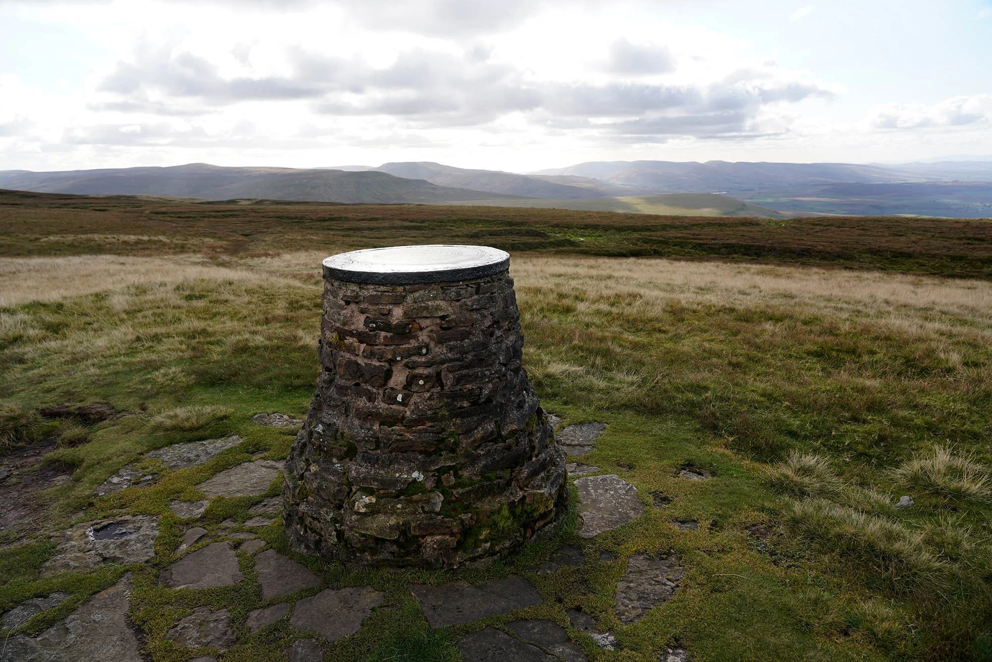
The OS Viewpoint pillar.
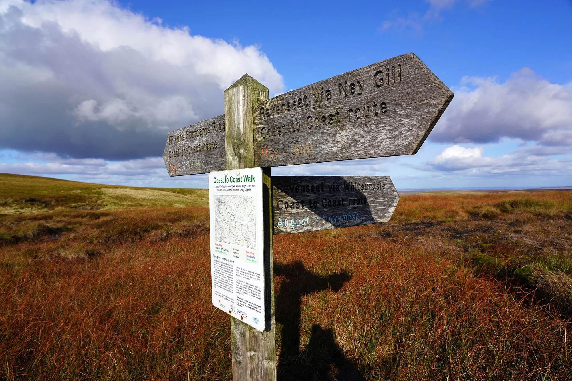
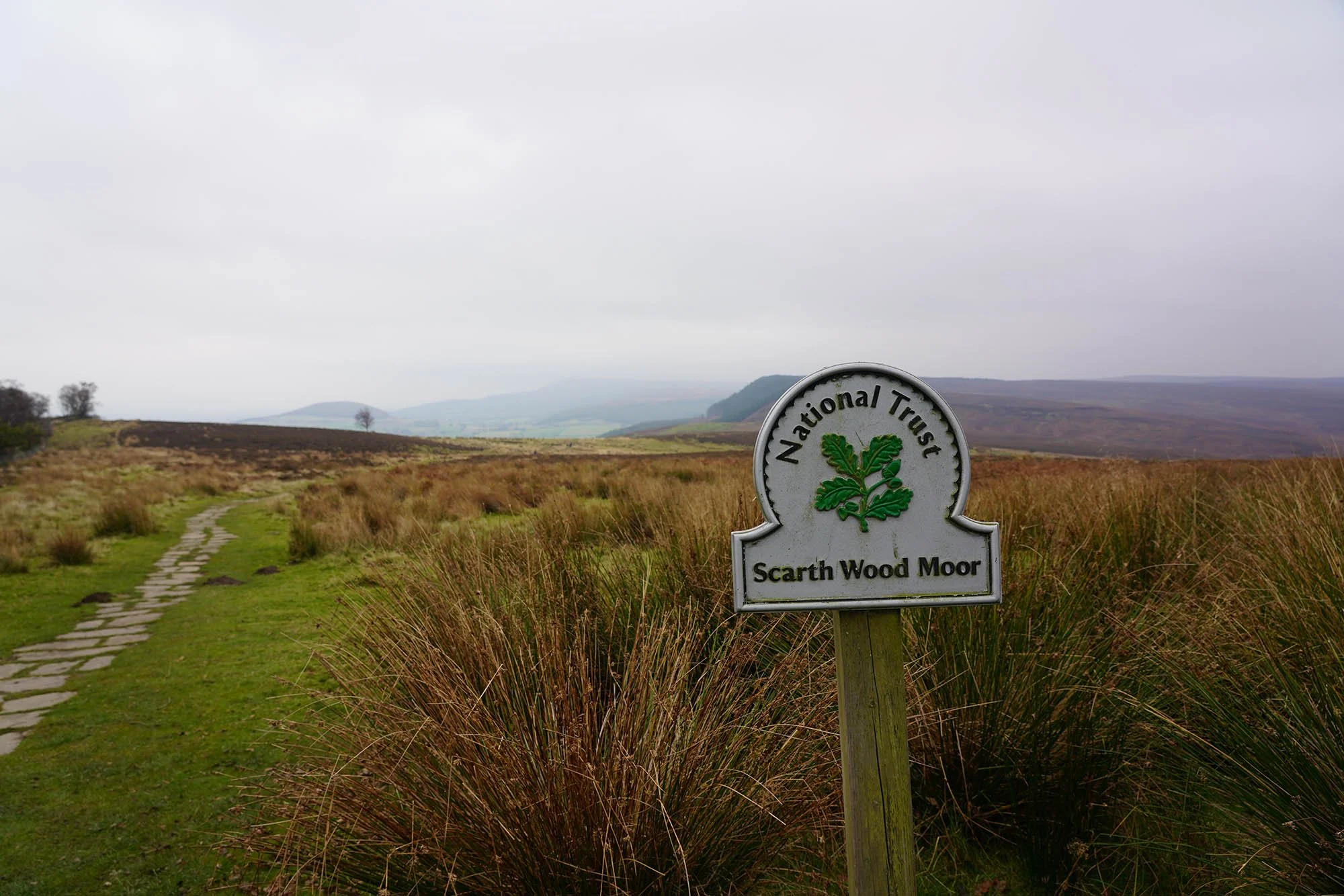
Seeing as it is now October we followed the Blue Route down into Whitsundale.
The top of Whitsundale.
We headed down the full length of the valley.
Ravenseat Farm.
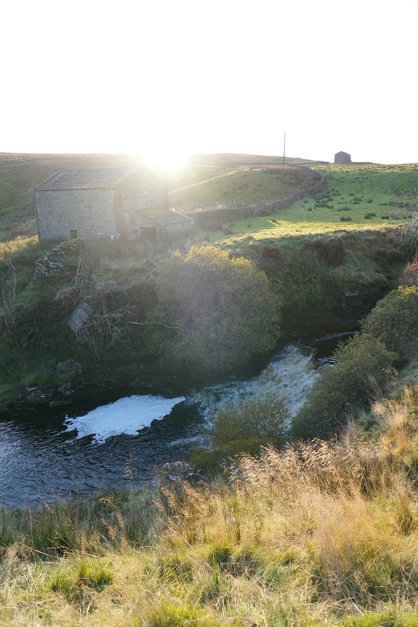
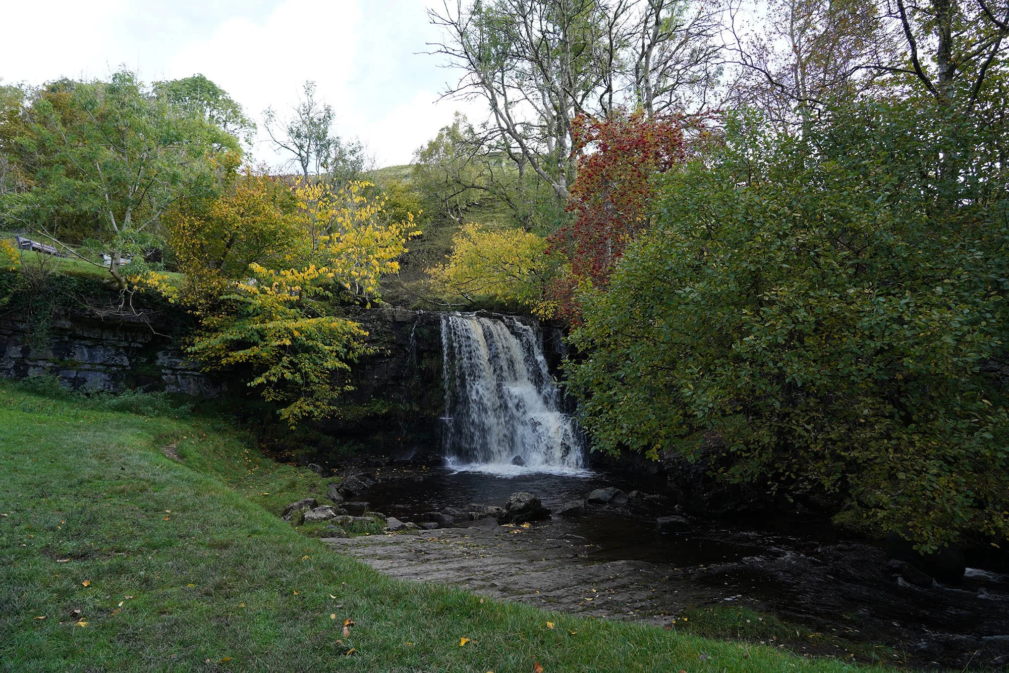
The waterfall just south of Ravenseat.
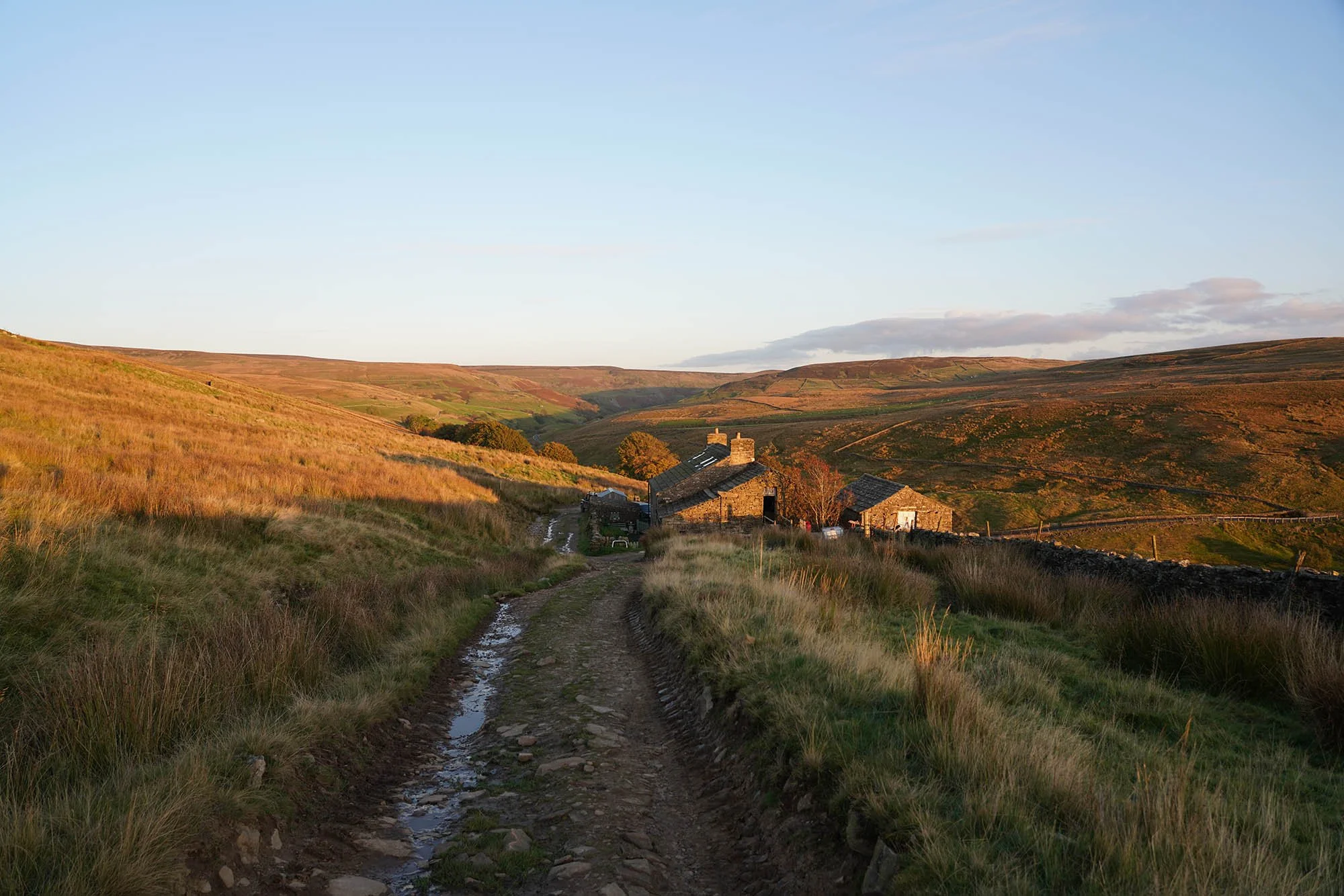
Smithy Holme in the glorious evening light.
We continued along Cotterby Scar and joined the road into Keld.
That evening we had a wonderful Northern Lights display!
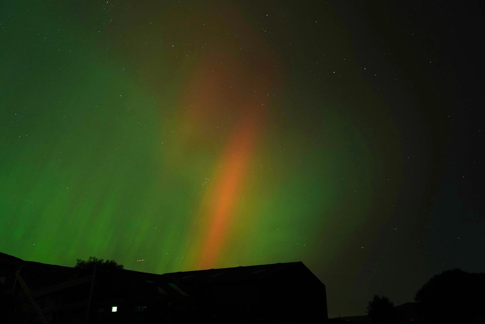
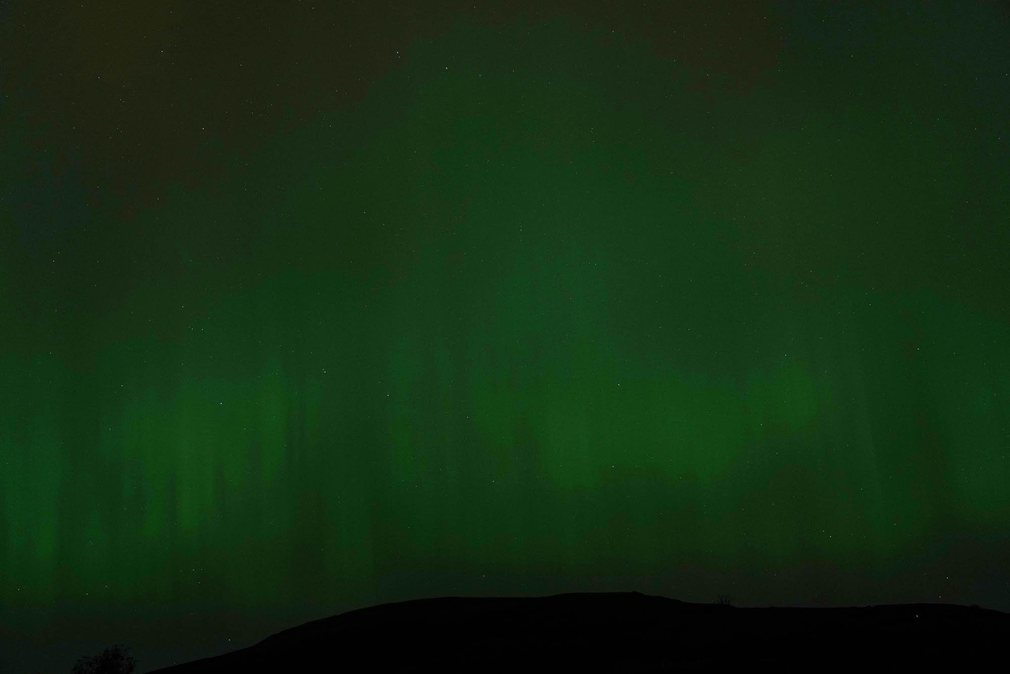
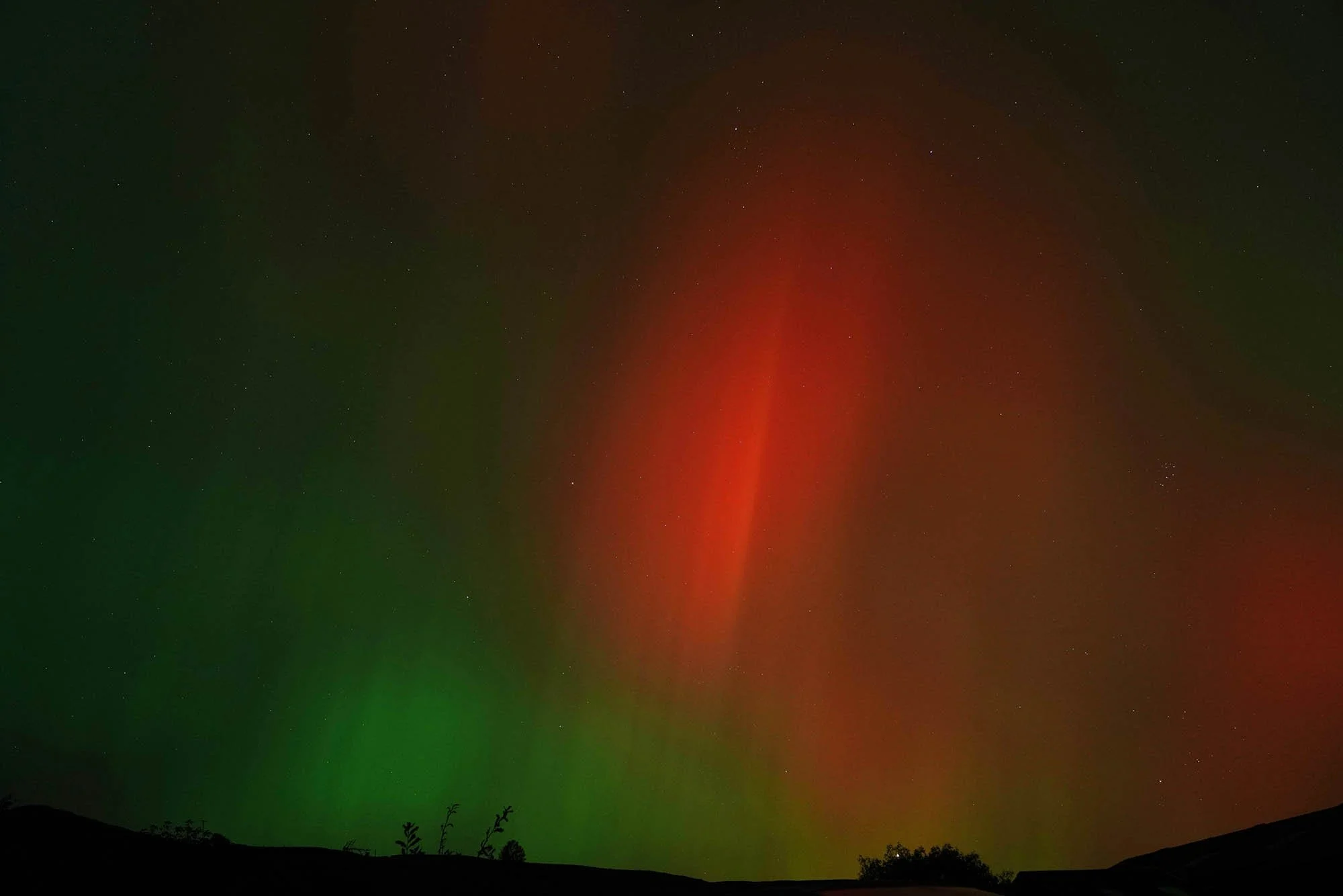
Stunning to see.
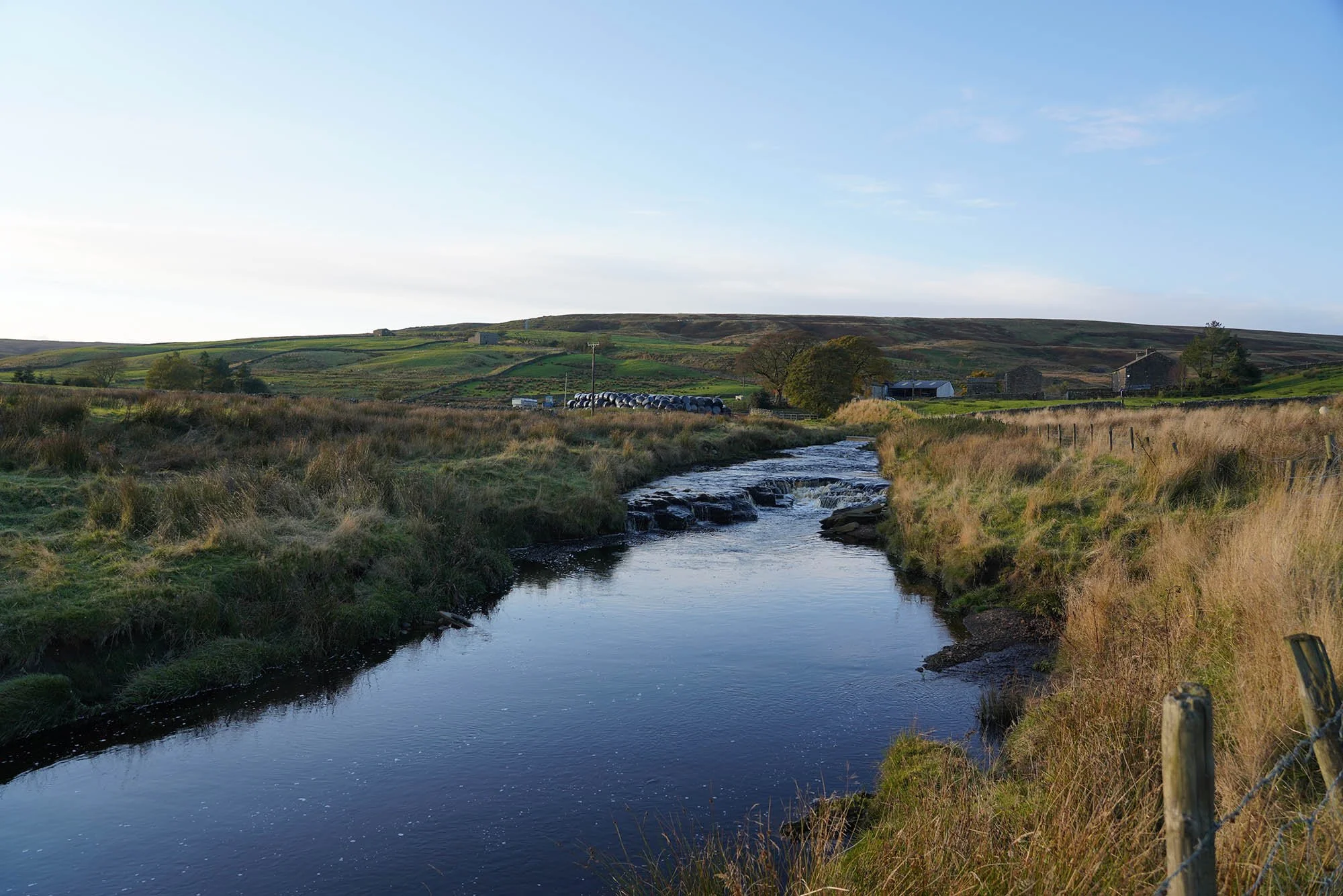
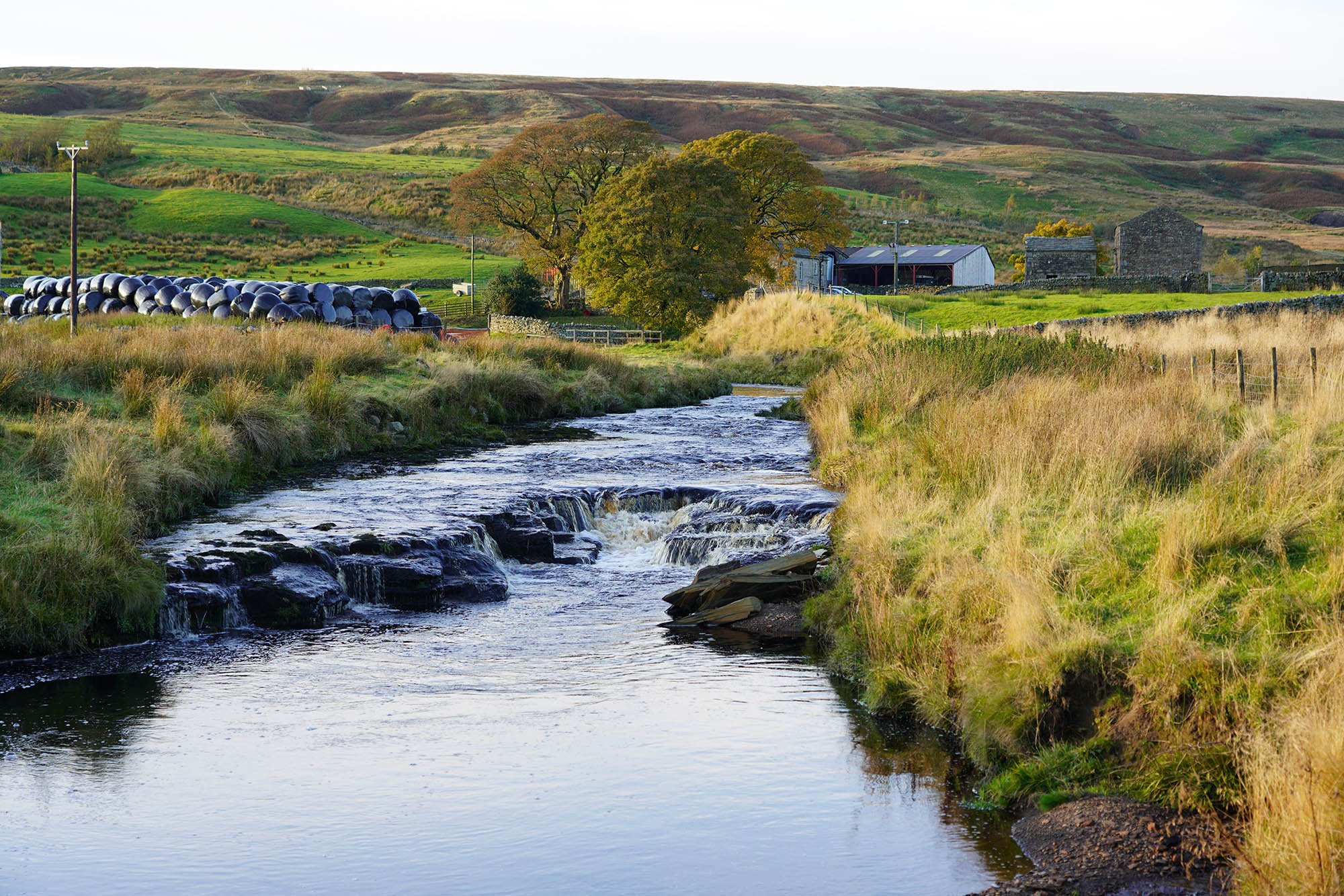
Day 9: Keld to Reeth - 18.2km (651m of Ascent)
Passing around one of the waterfalls in Keld to head up onto the moor.
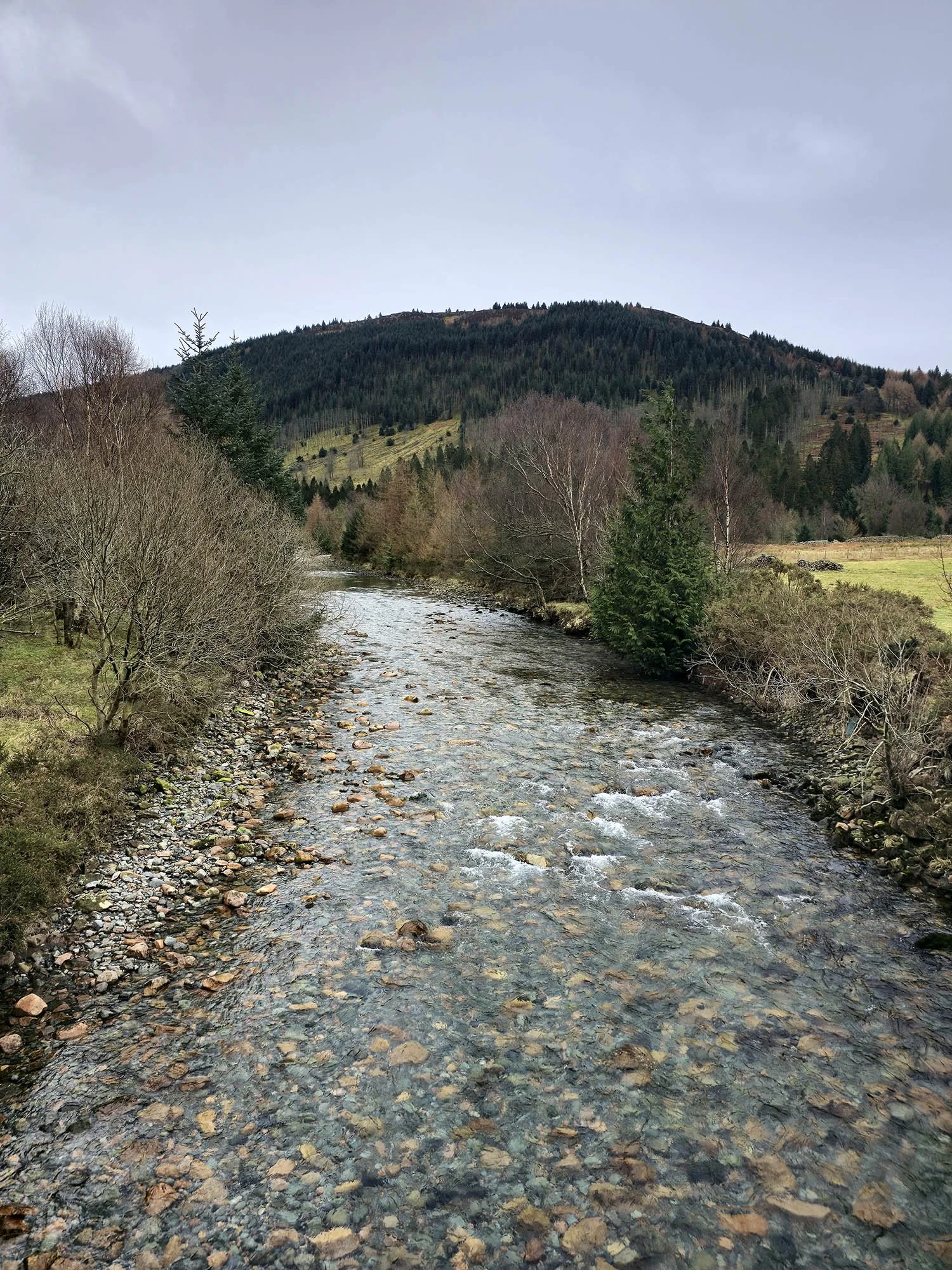
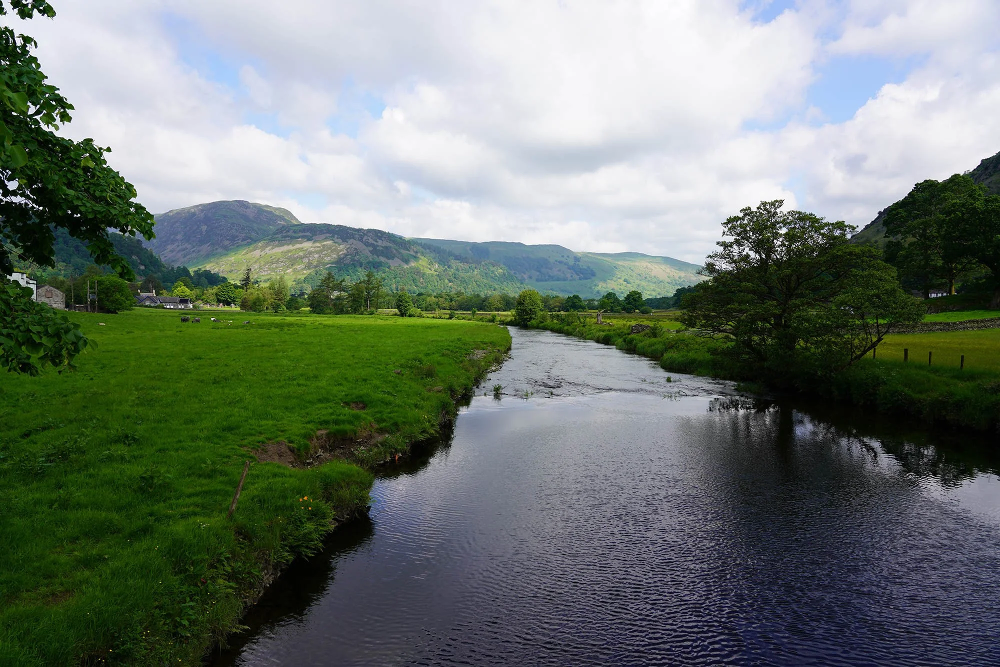
The River Swale down below.
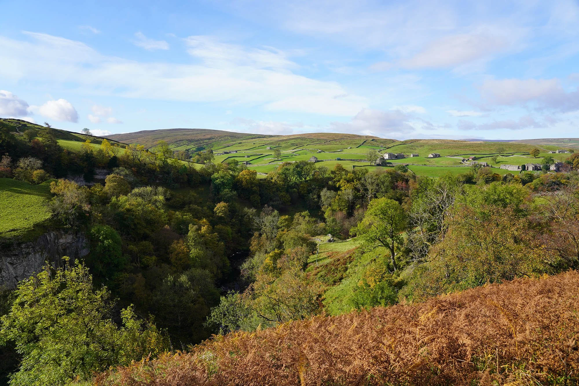
Looking back to Keld.
The steep side of the valley offered incredible views.
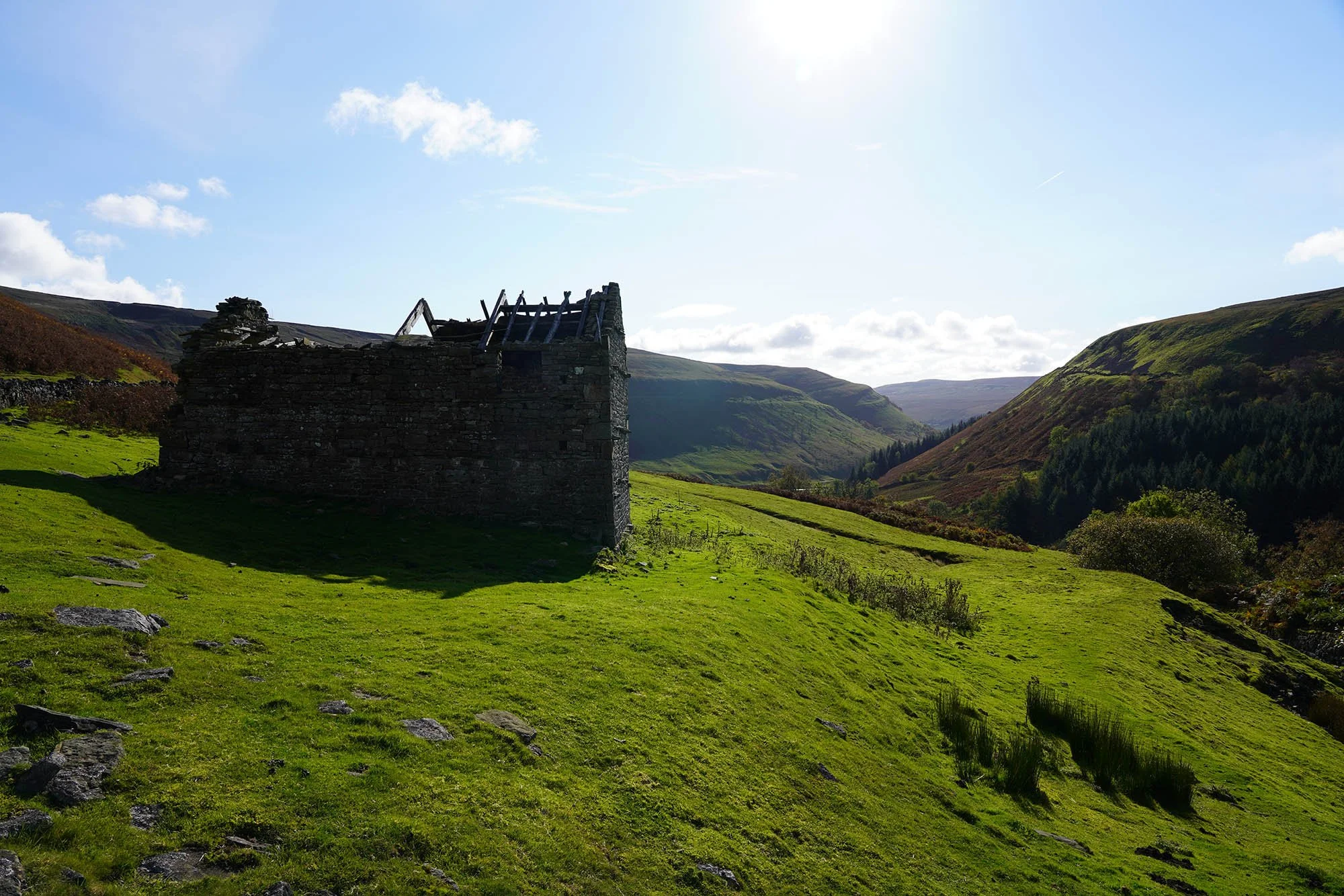
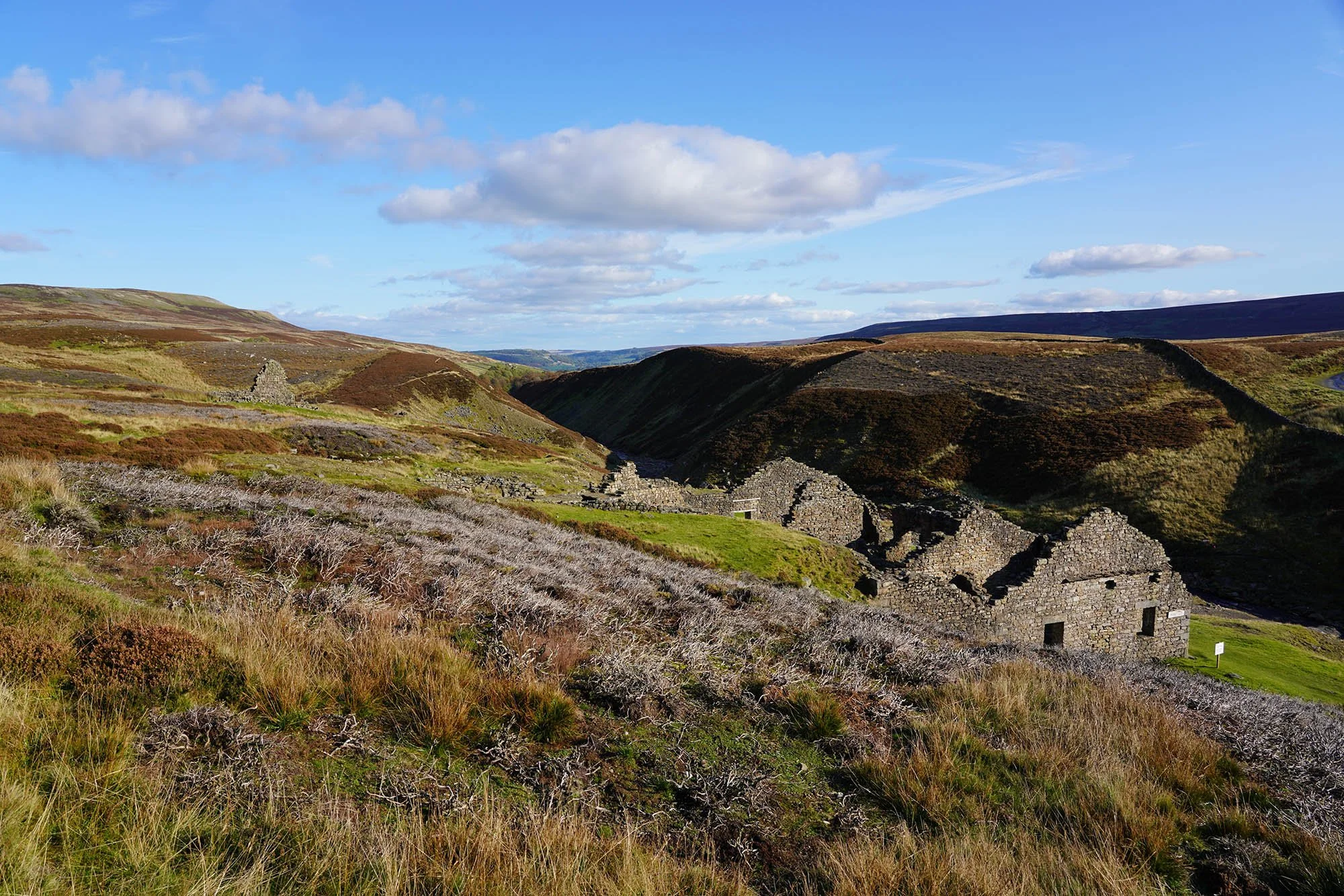
A ruined barn just before getting to Crackpot Hall.
Crackpot Hall.
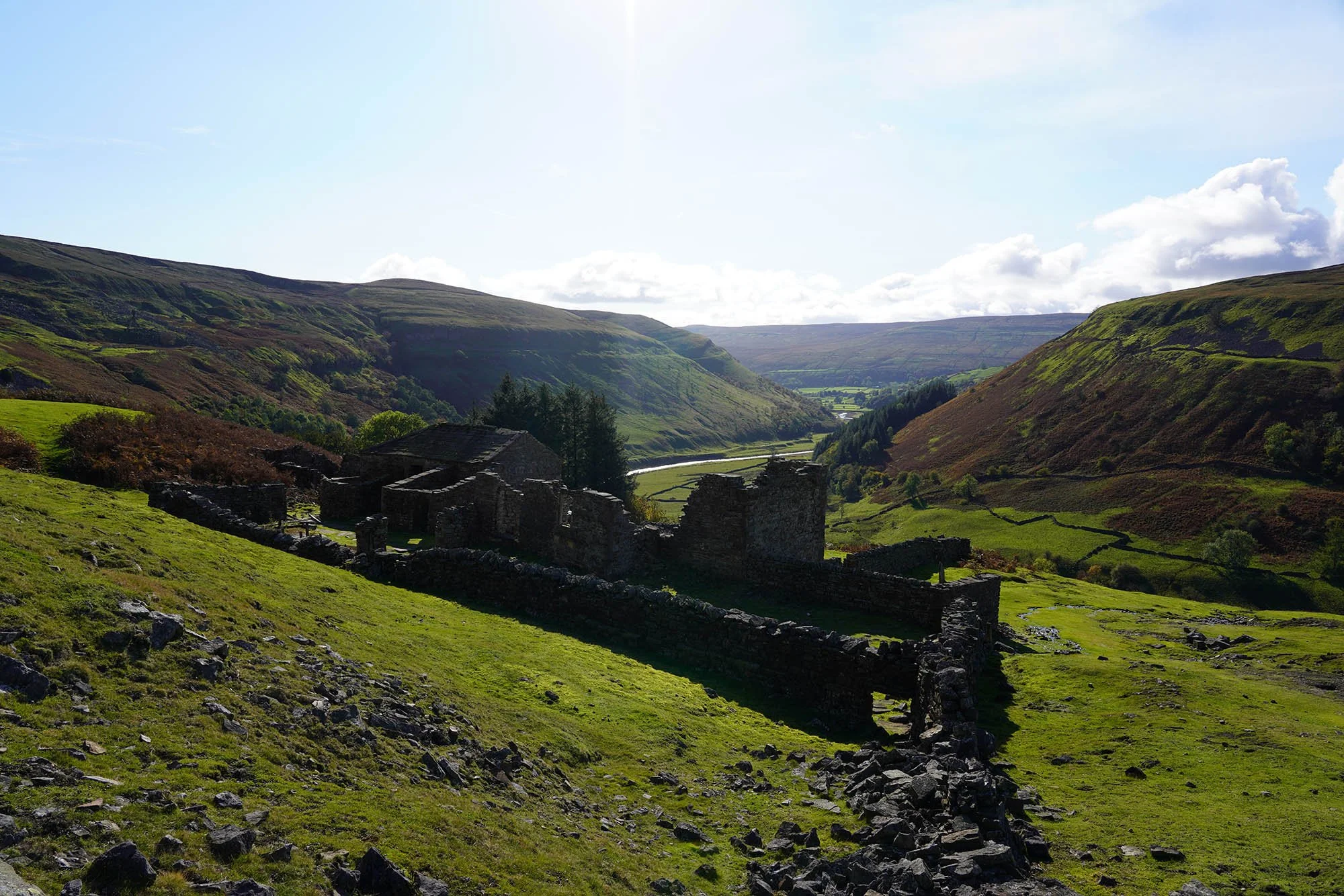
The view from this house must have been stunning!
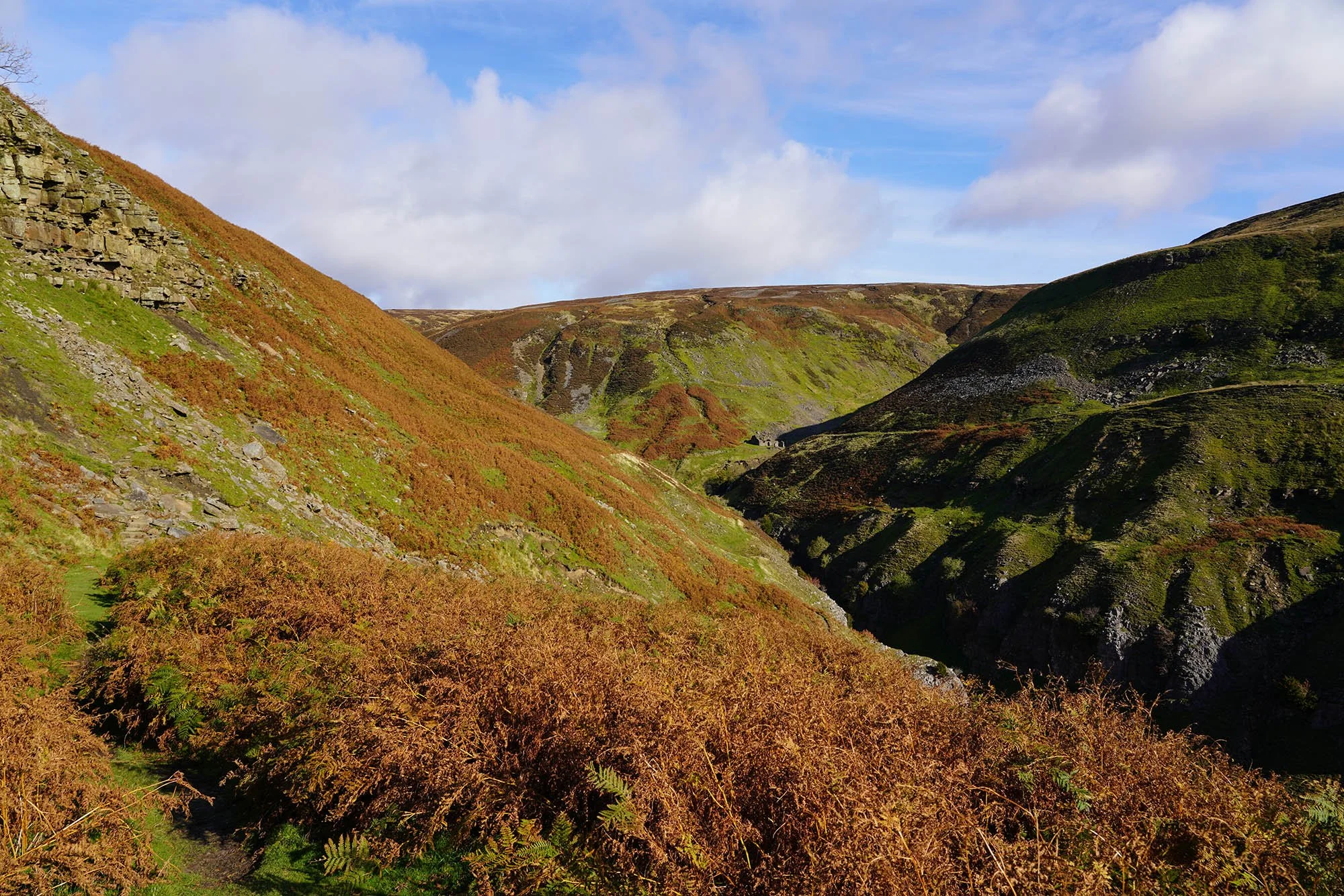
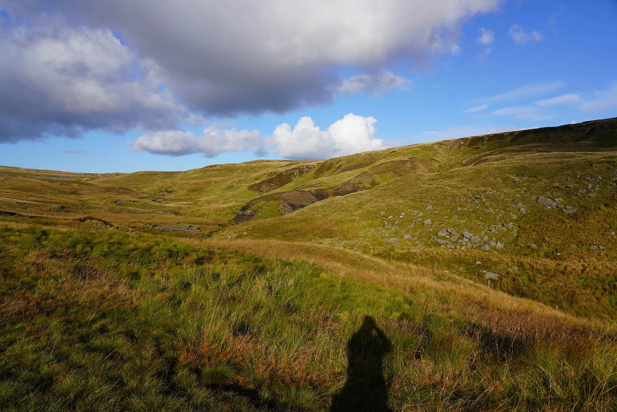
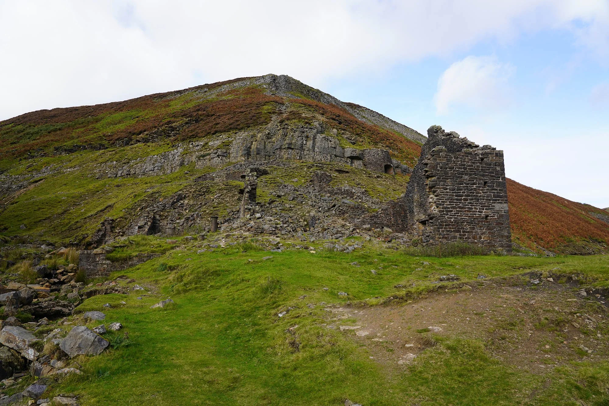
Heading up Swinnergill, up into mining country.
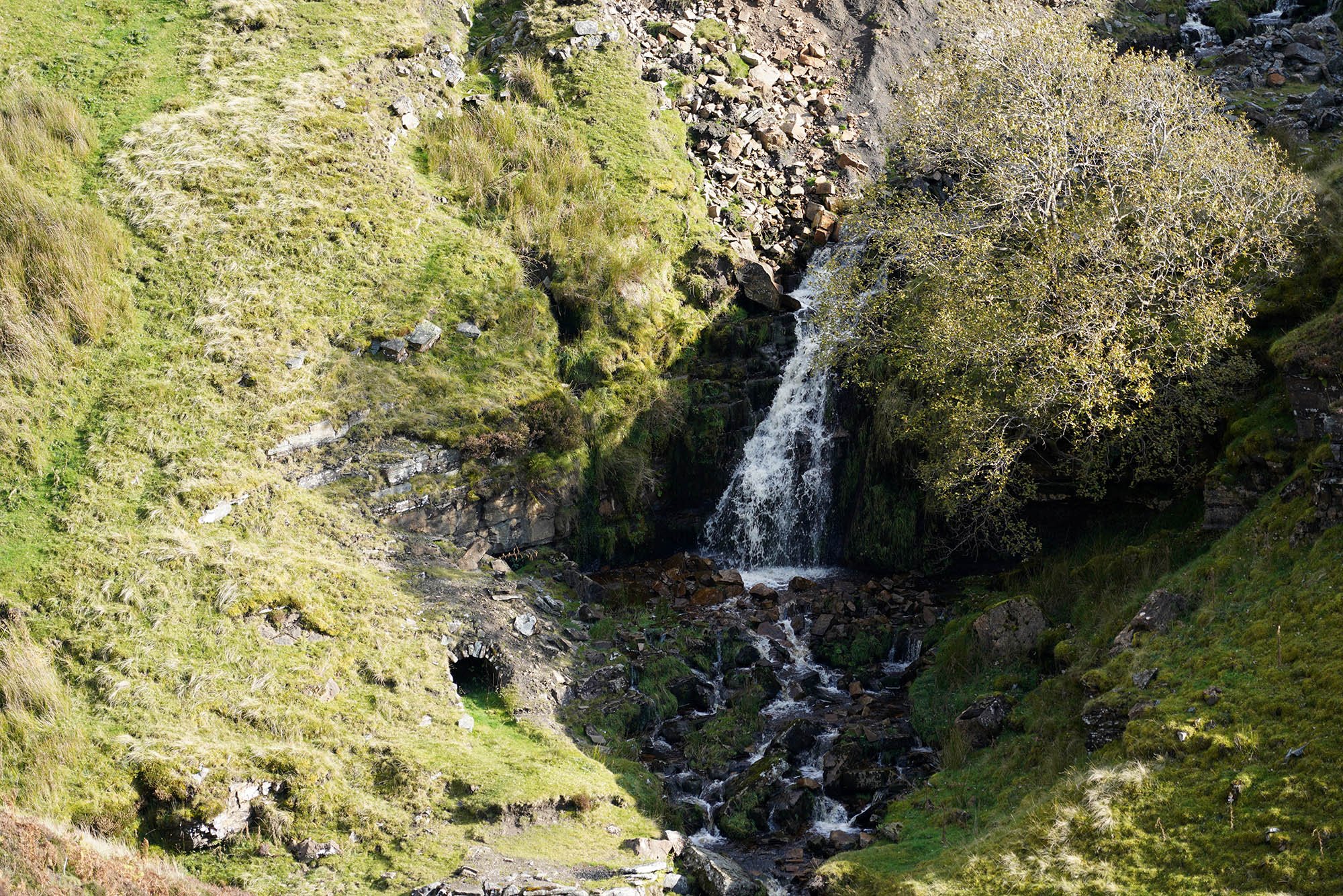
A lovely waterfall by the mines at Swinnergill.
Looking back down the path we have just come up to reach the plateau.
Massive scars on the landscape as we descend down into the valley.
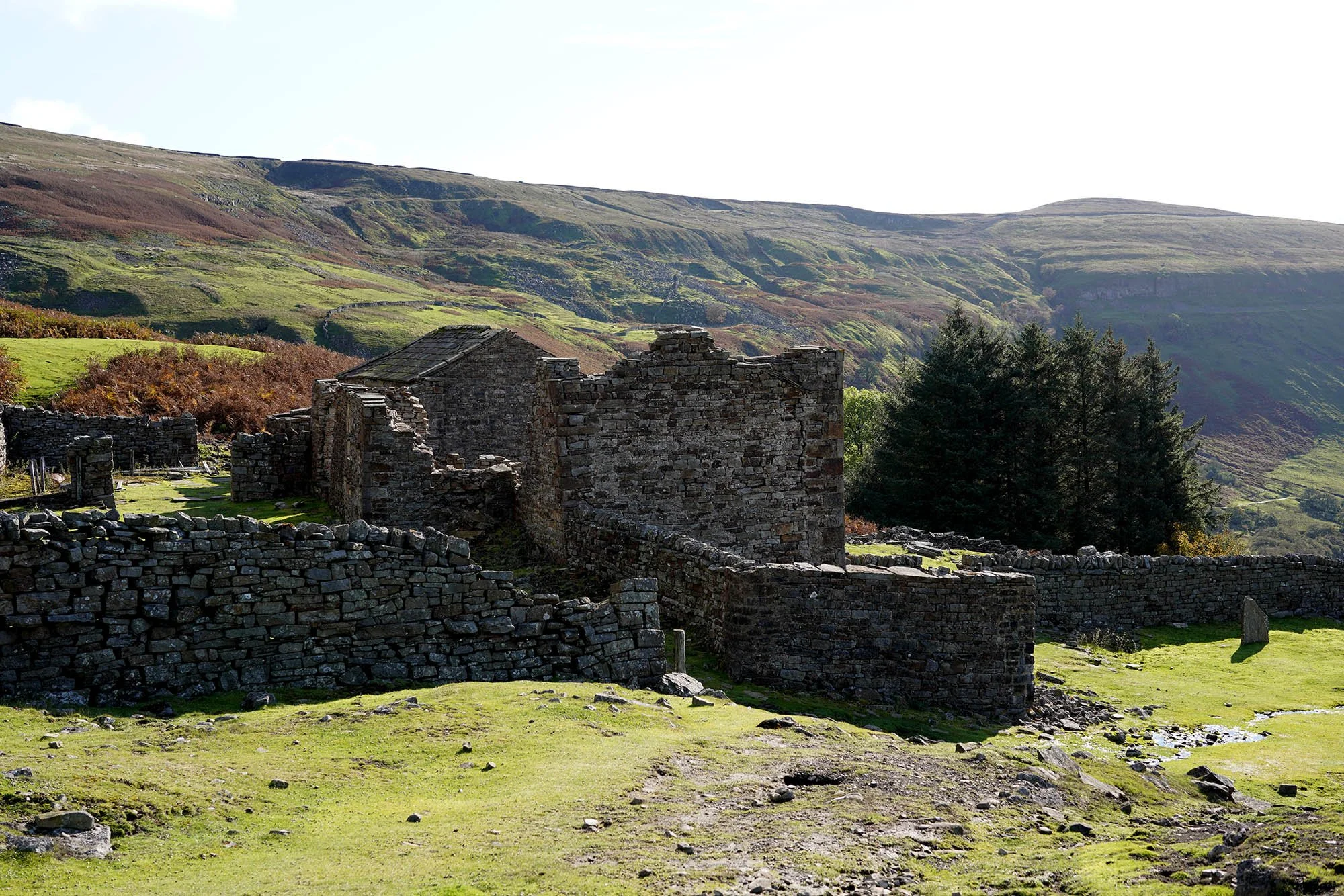
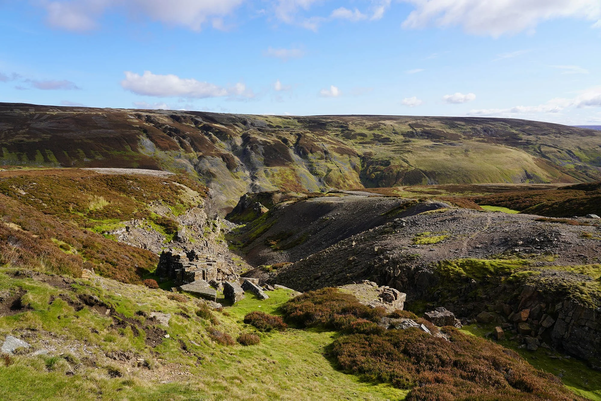
Gunnerside Gill.
Lots of ruins around this Gill.
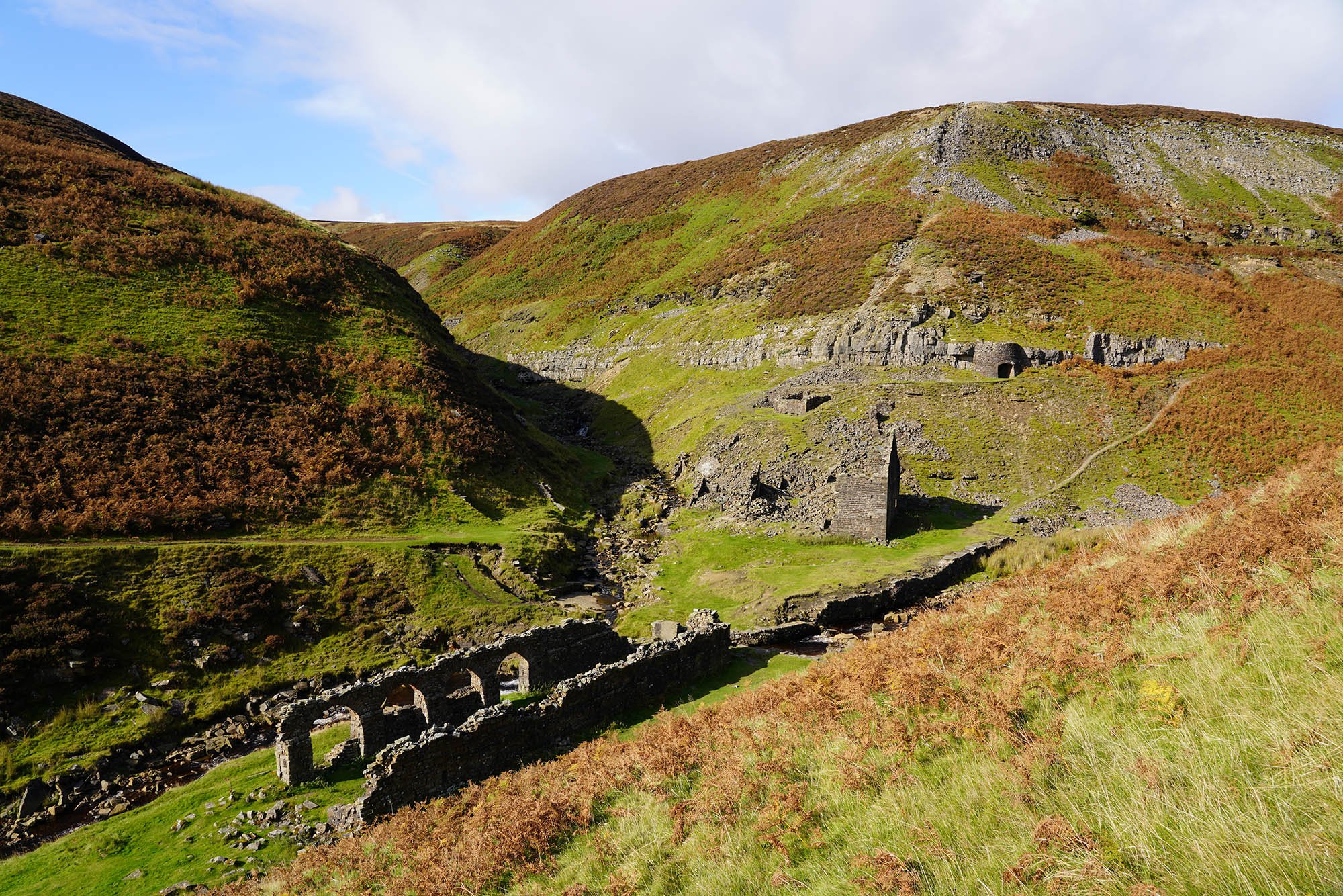
A view over the whole complex of Gunnerside Gill.
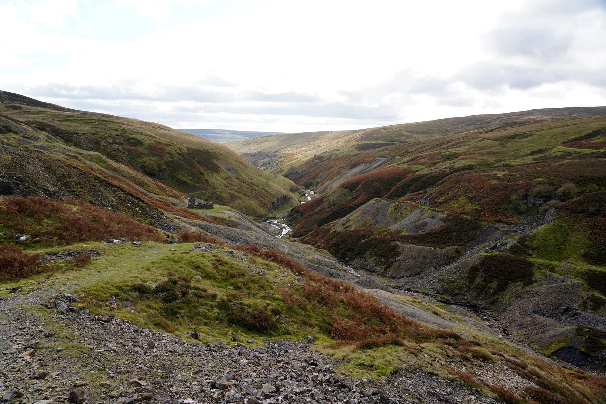
Looking south down Gunnerside Gill.
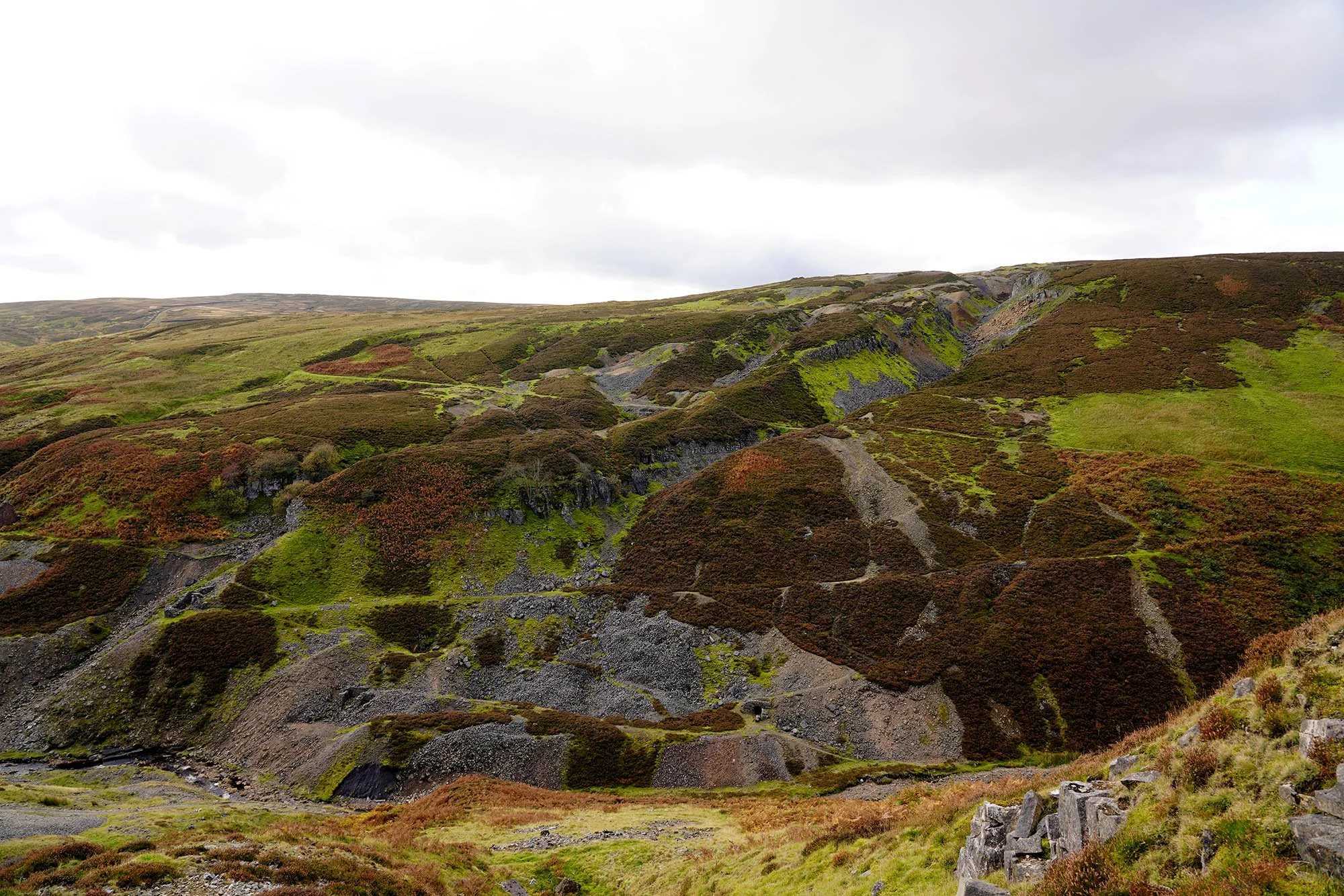

They look like massive claw marks in the hillside…
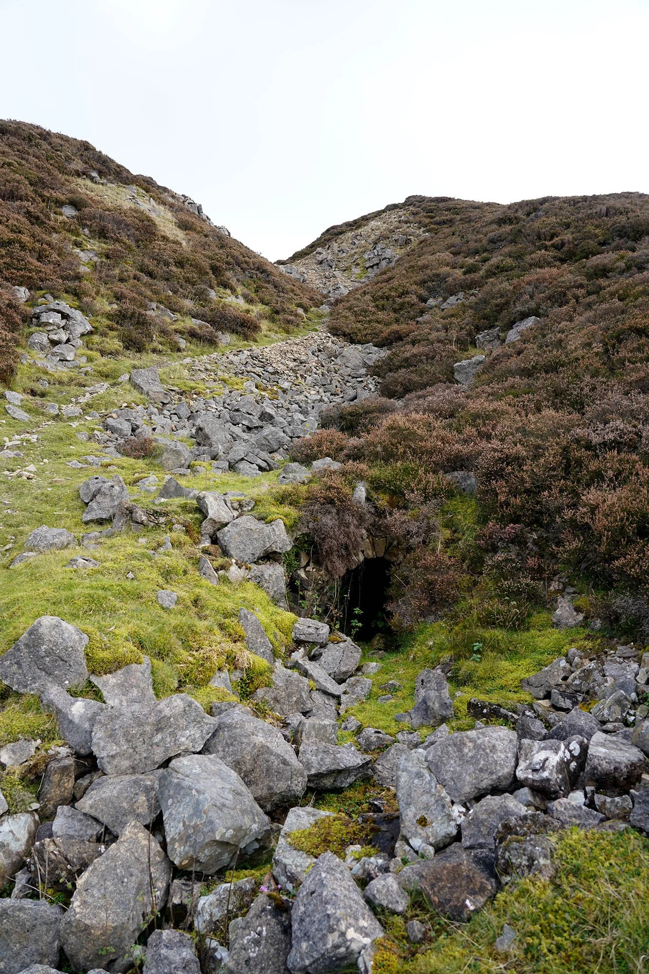
Levels into the hillside.

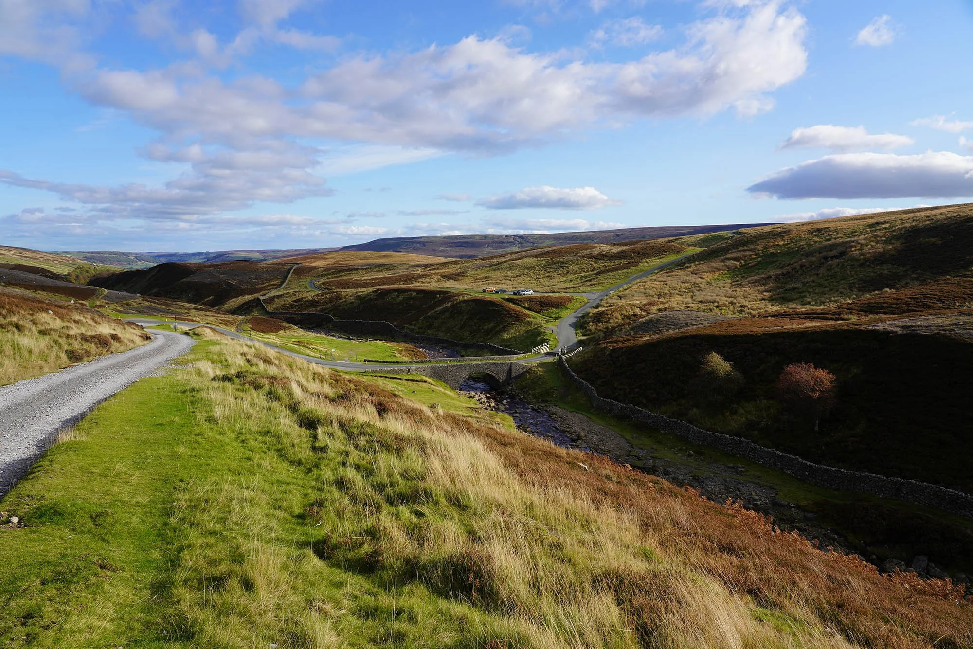
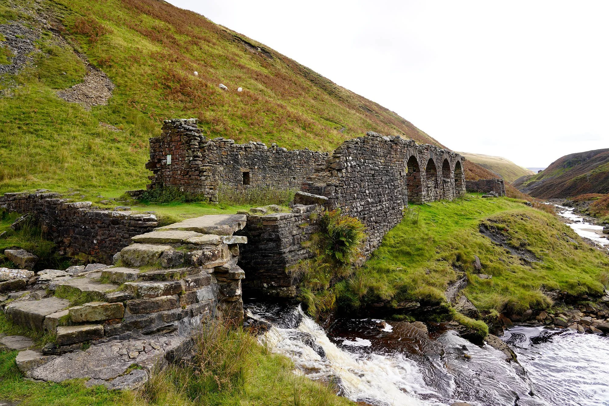
Surrender Bridge after we have just passed Old Gang Mines.
Another smelting mill near Surrender Bridge.
Enjoying the sunshine as we make our final push to Reeth.
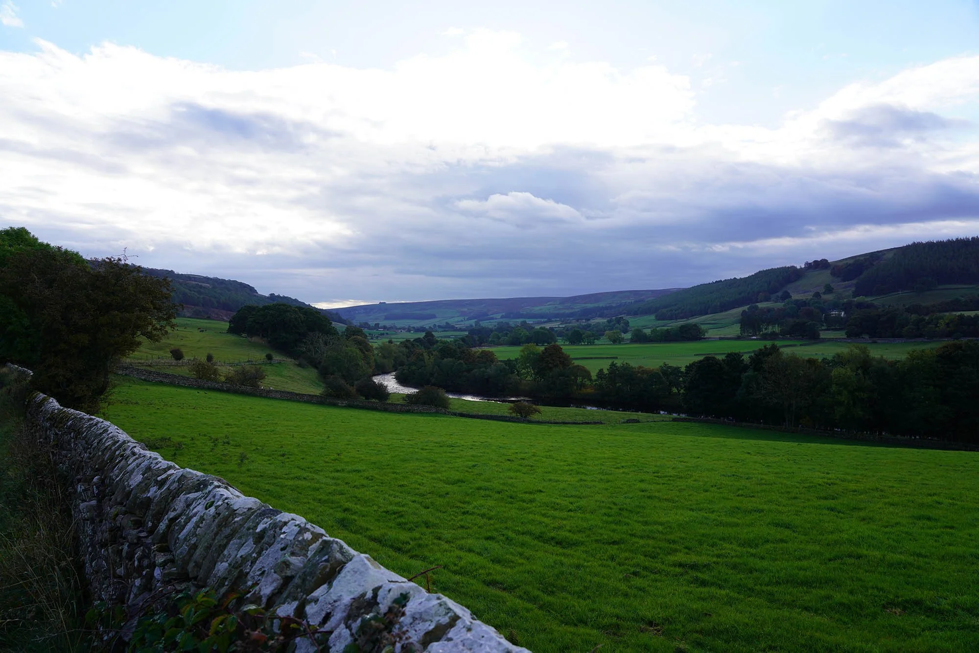
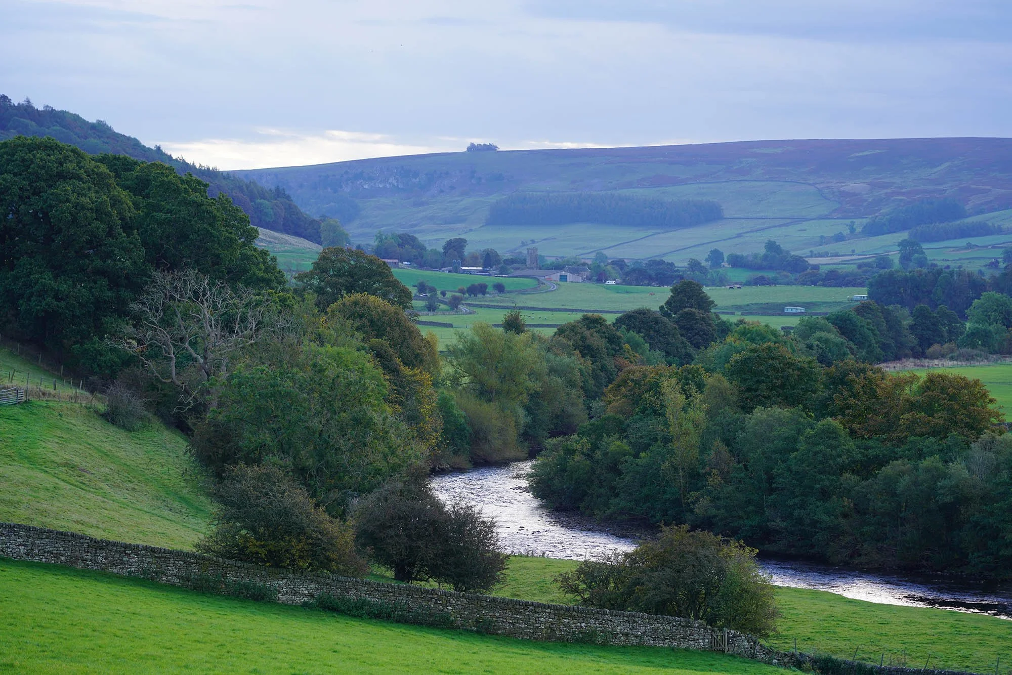
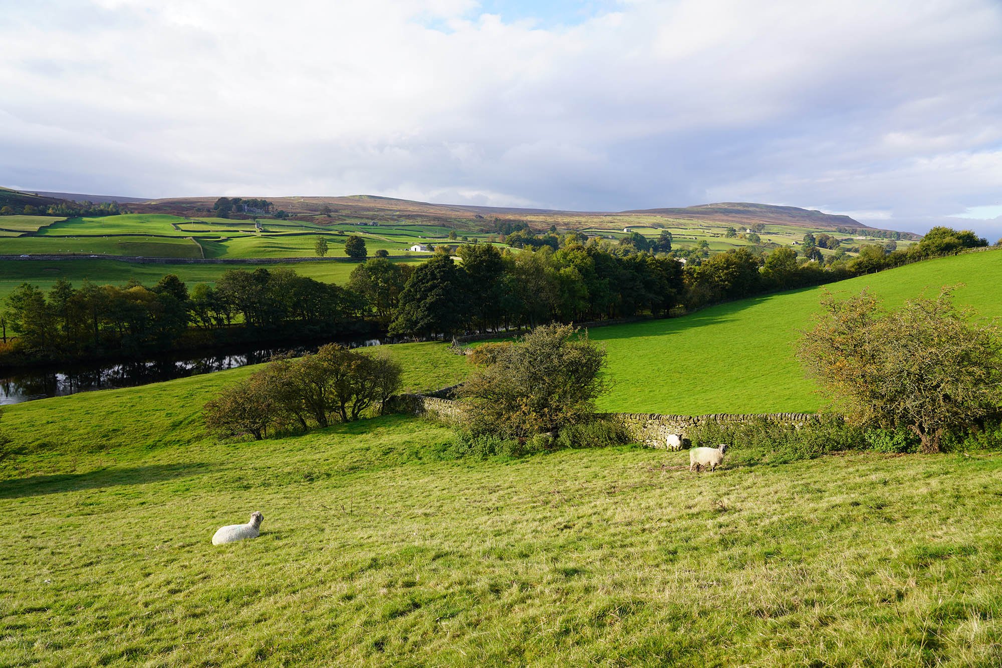
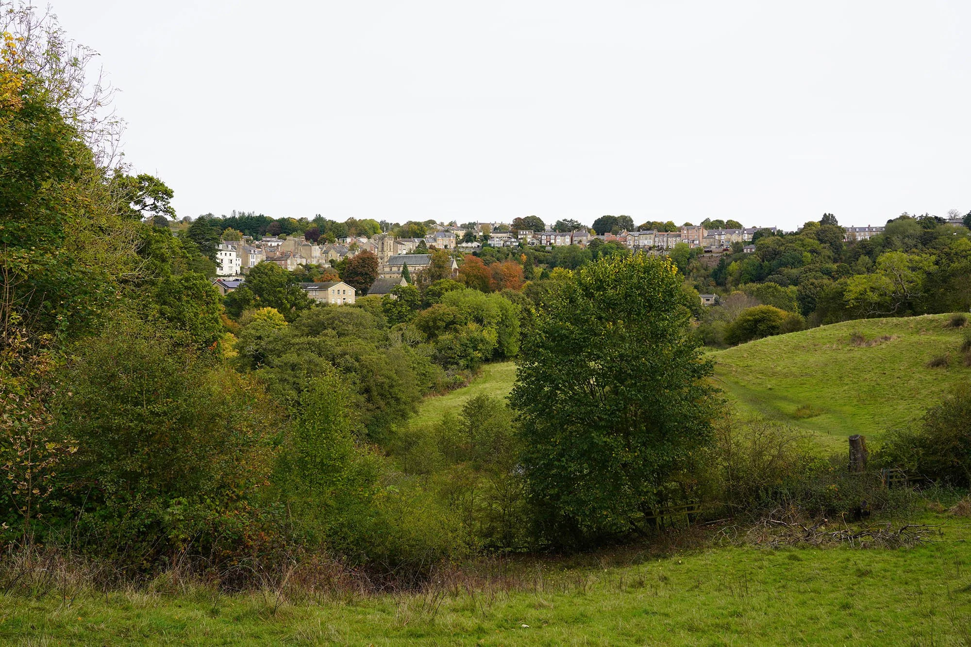
Day 10: Reeth to Richmond - 16.6km (393m of Ascent)
Early morning as we leave Reeth.
Following the lane to Marrick Priory.
A view to the Priory Ruins and the River Swale.
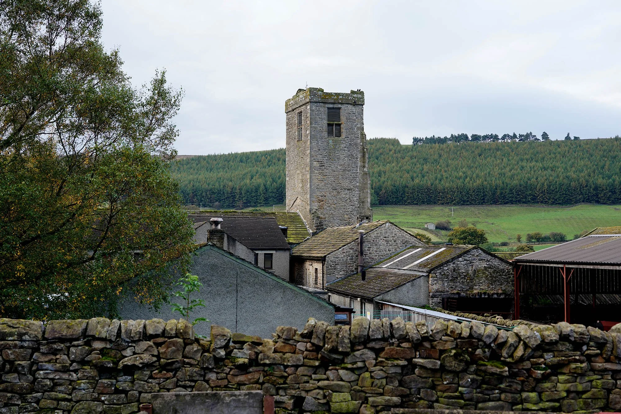
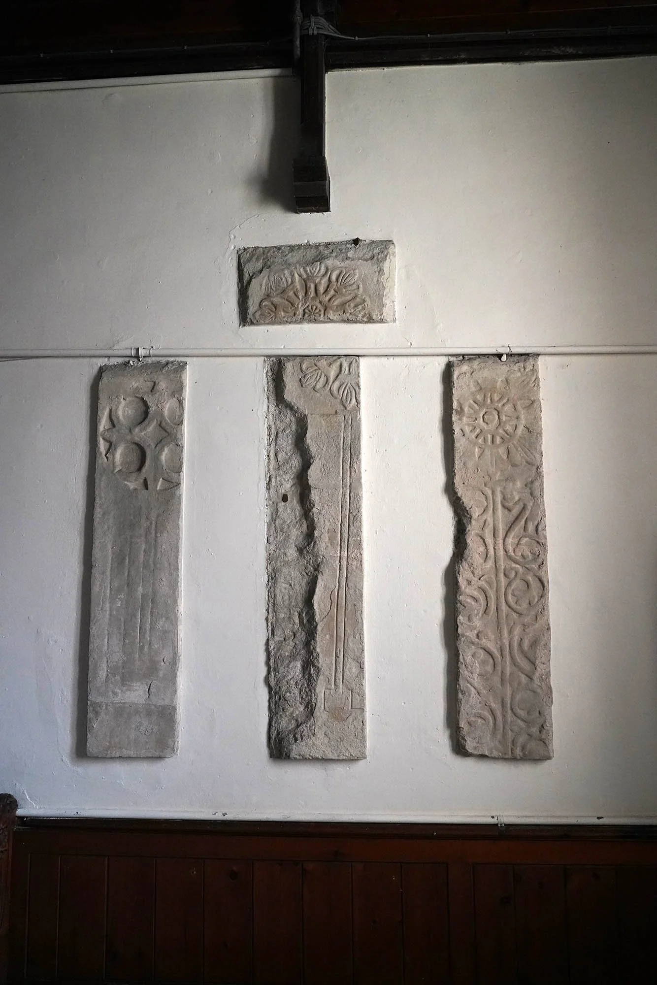
The Church of Marrick Priory.
From the priory we headed uphill into the village of Marrick.
Crossing the fields to the north east - aiming for the village of Marske.
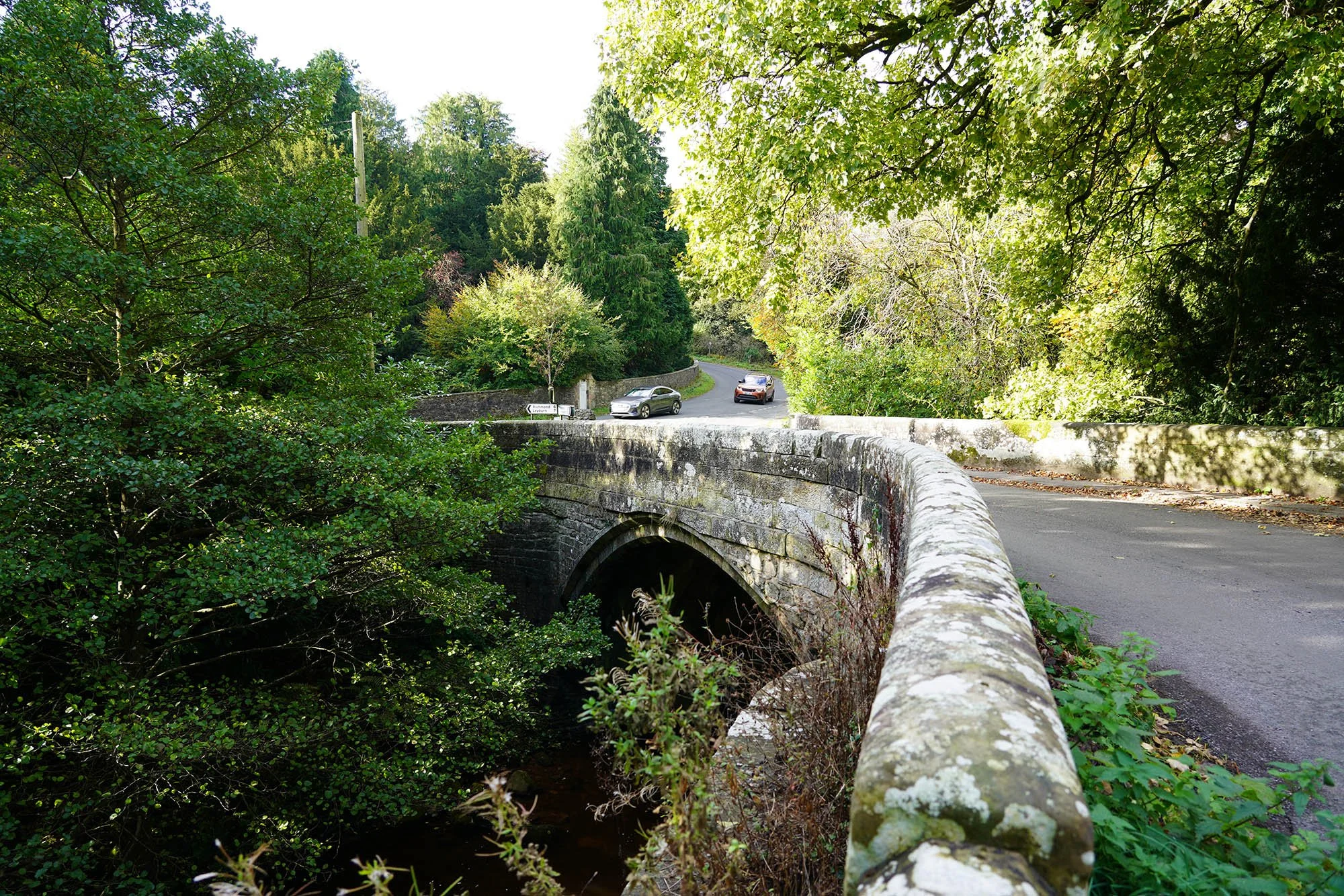
The bridge in Marske.
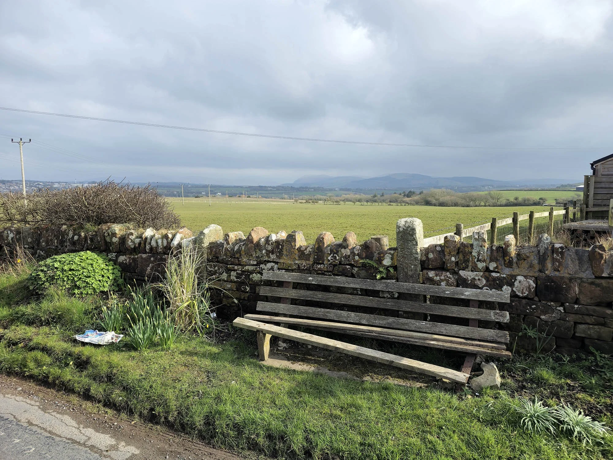
We stopped for some lunch at the church thanks to the bench provided and inside there were snacks and drinks for sale!
A lovely 12th Century Arch.
So far today the weather has held and been lovely but the forecast is for rain moving in about 2pm - can we make it to Richmond in time?
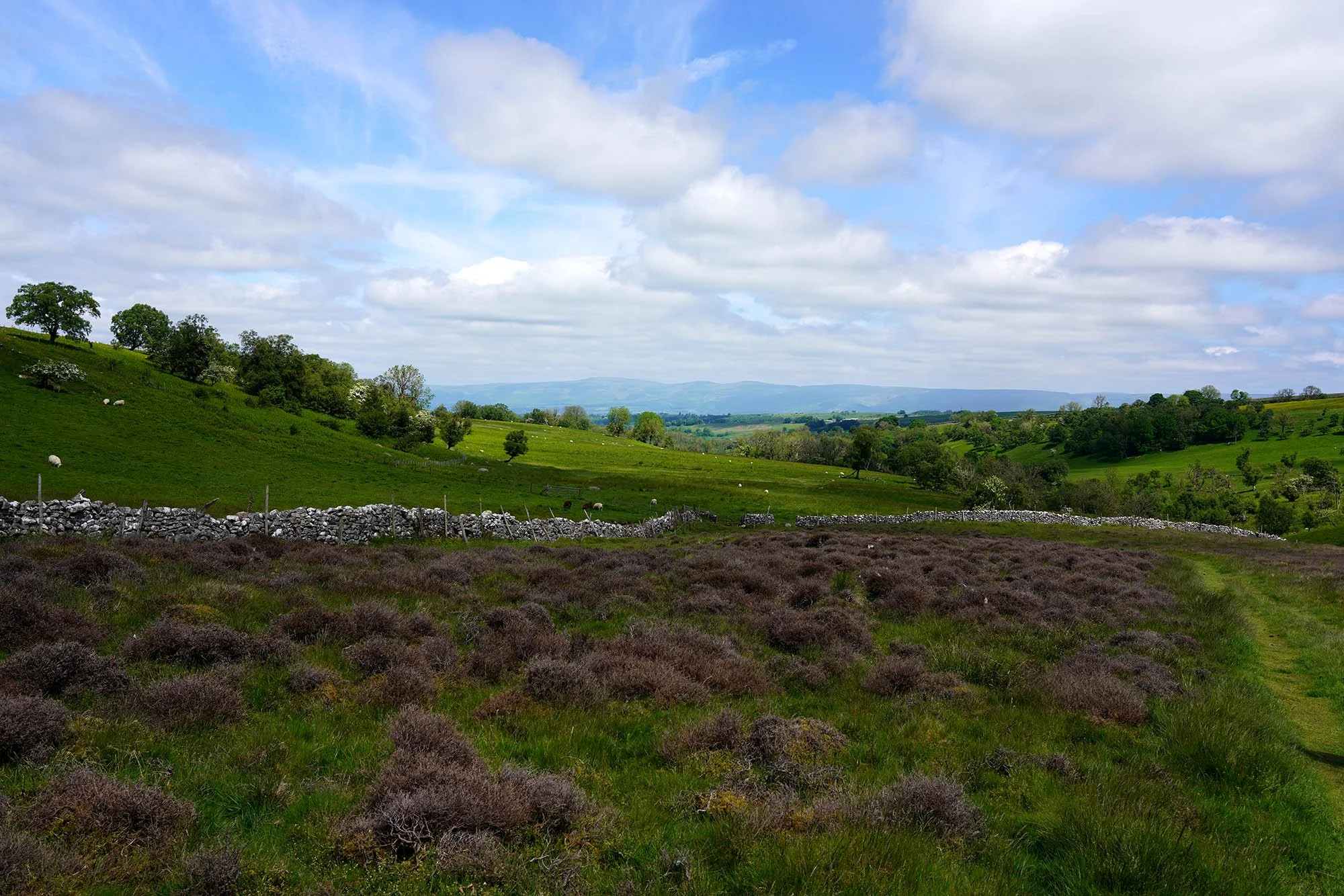
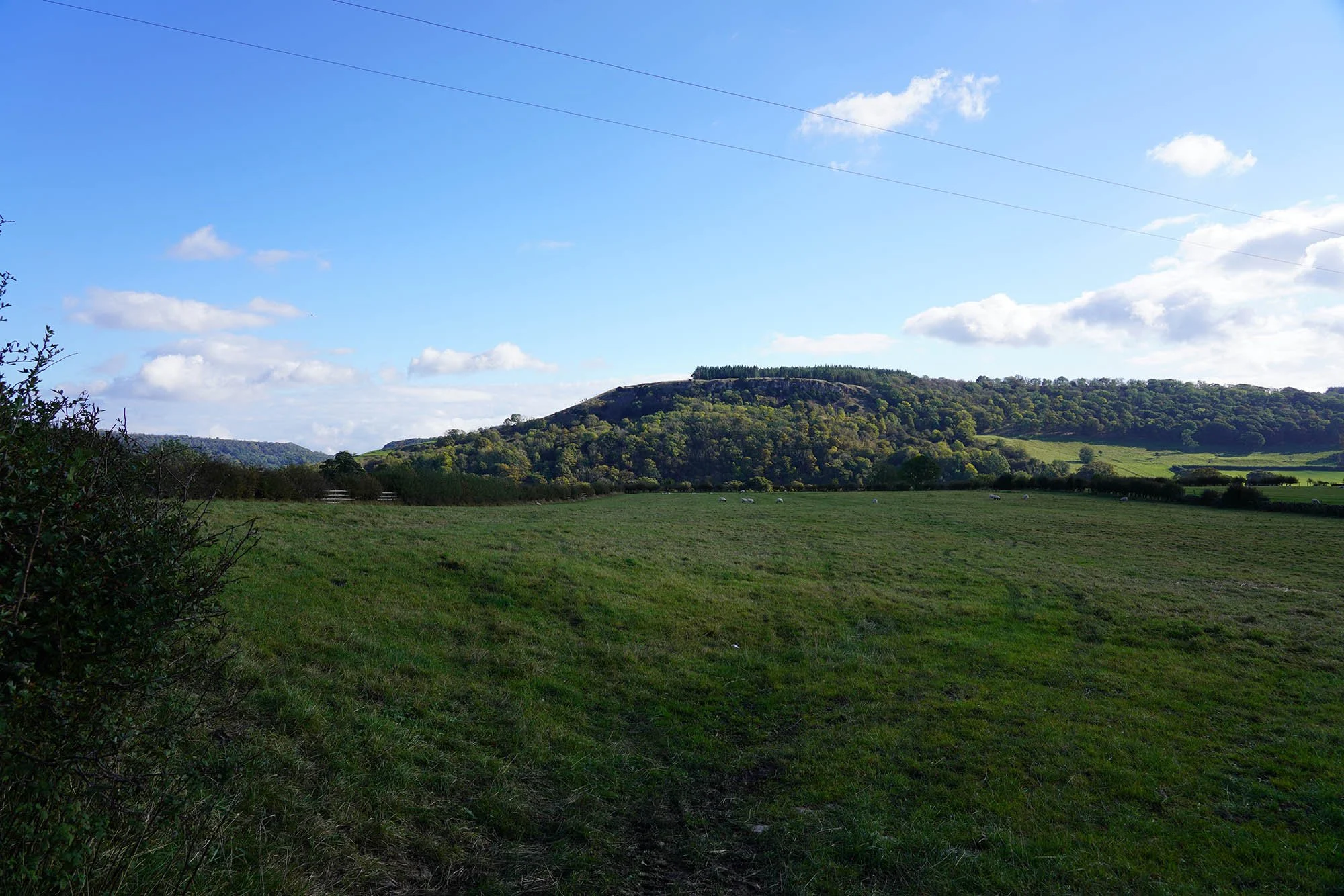
Lovely walking along the side of the valley as we just about leave the Yorkshire Dales National Park.
A view back towards Marske.
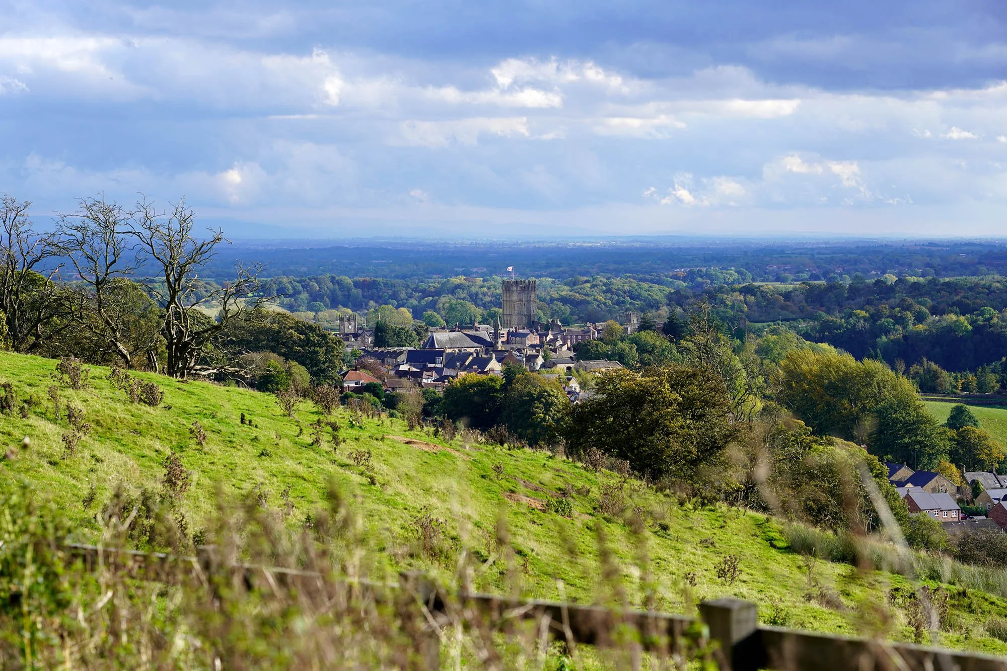
Richmond Castle not far now - we spend the afternoon exploring the castle when the rain started but happy we managed the day without getting soaked!
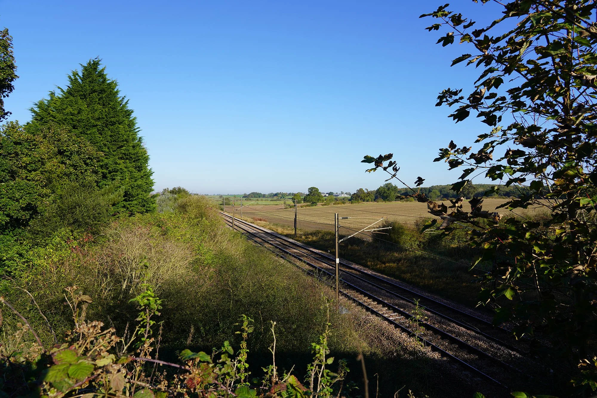
Day 11: Richmond to Danby Wiske - 24.1km (177m of Ascent)
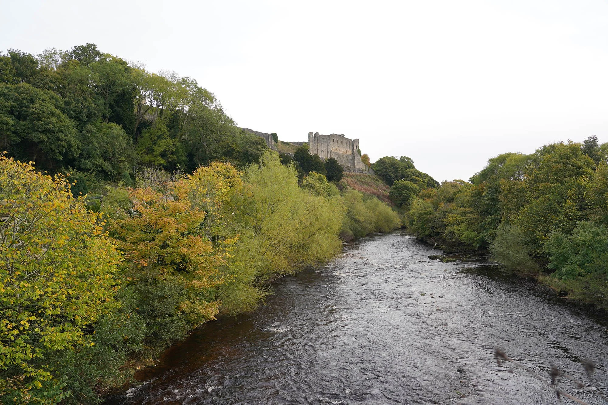
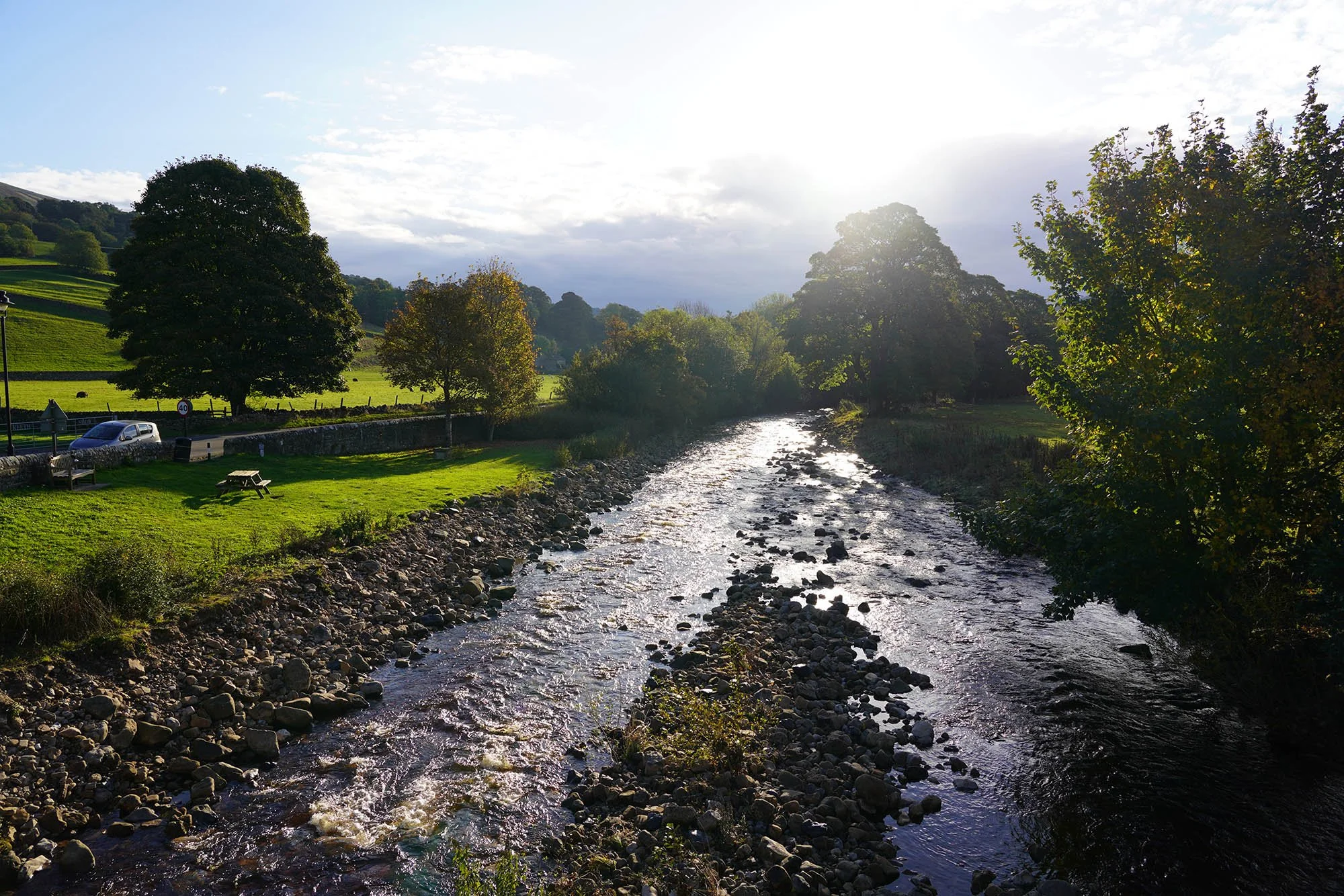
Richmond Castle above the River Swale.
Leaving Richmond.
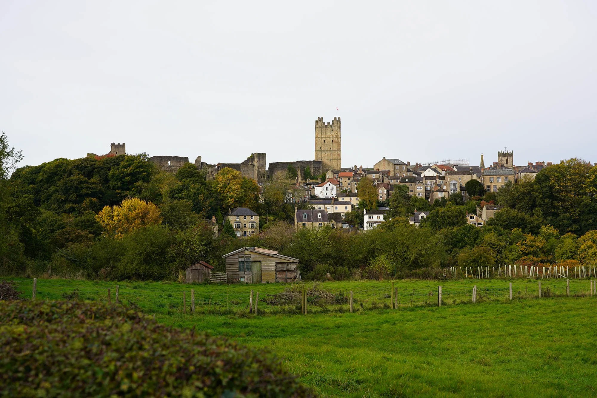
A view back to Richmond Castle.
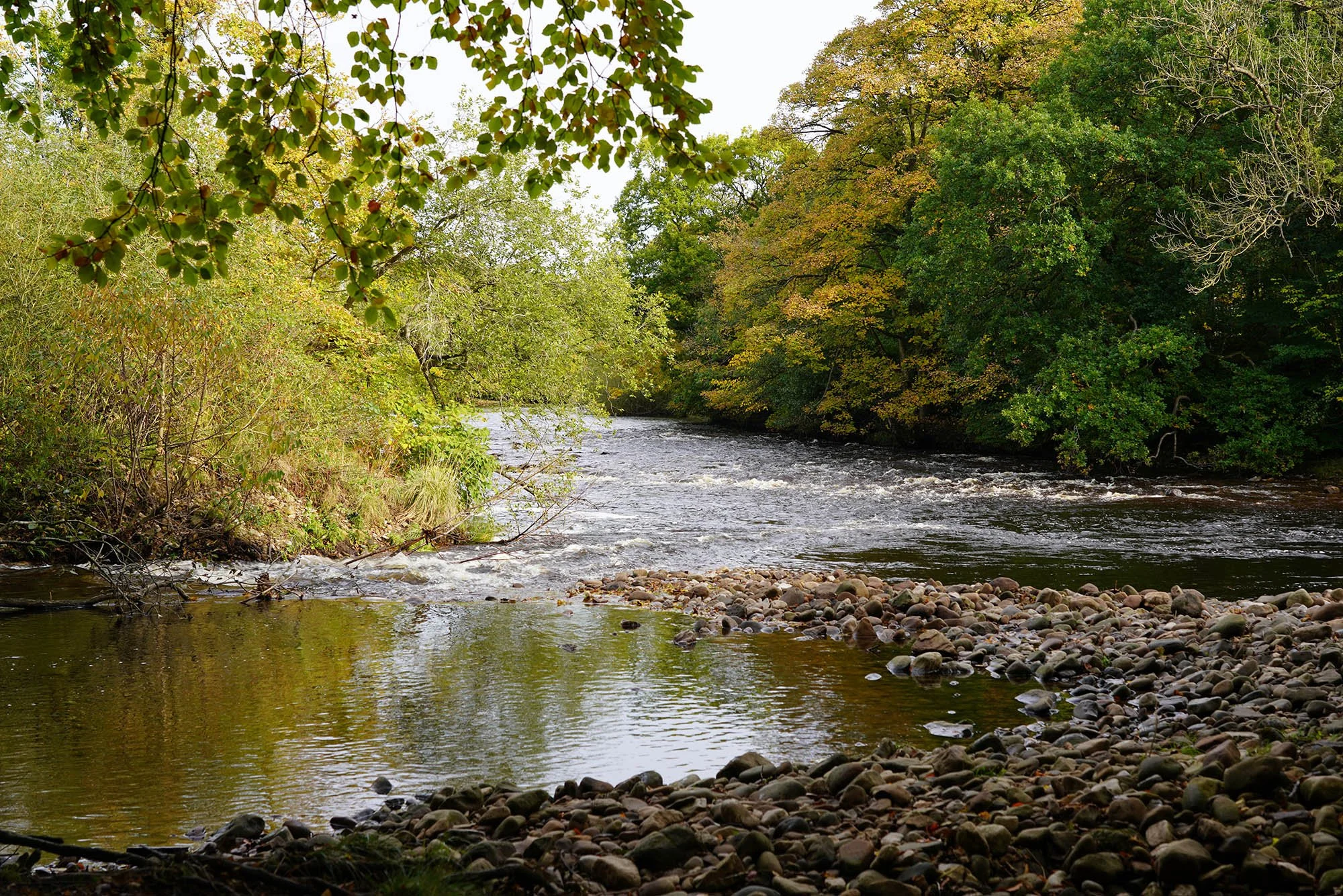
Down by the River Swale.
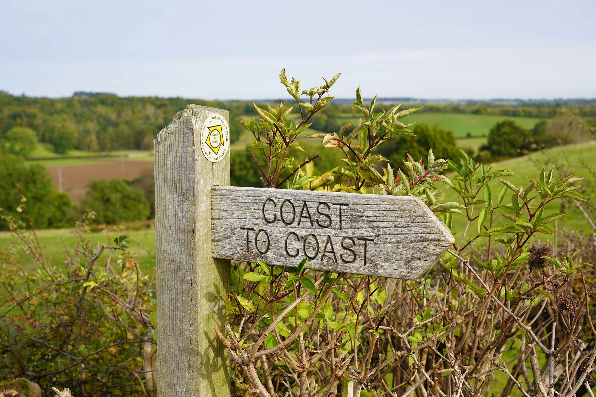
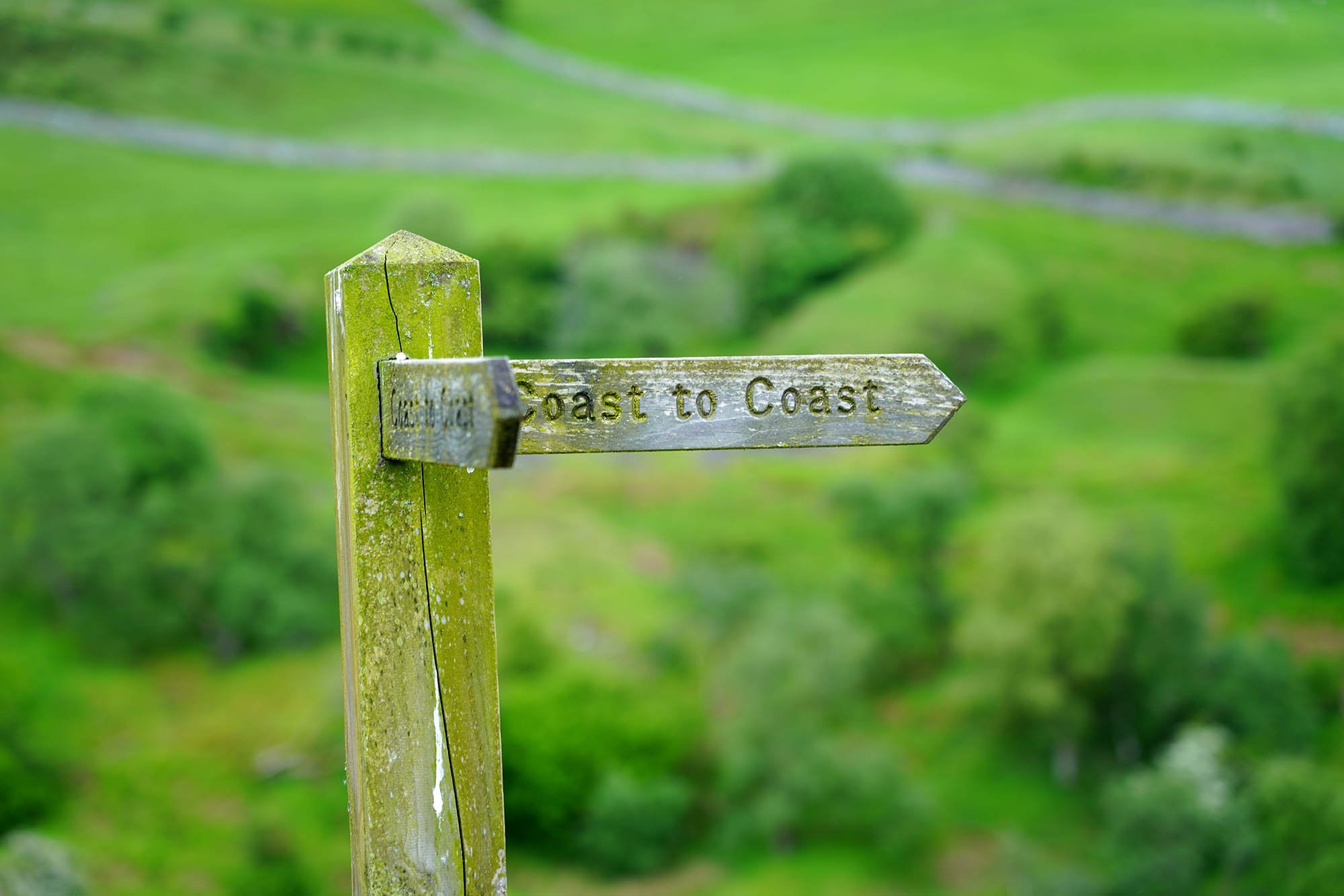
The further we progressed along the trail the better the signage became.
Earthworks from a Medieval Hospital.
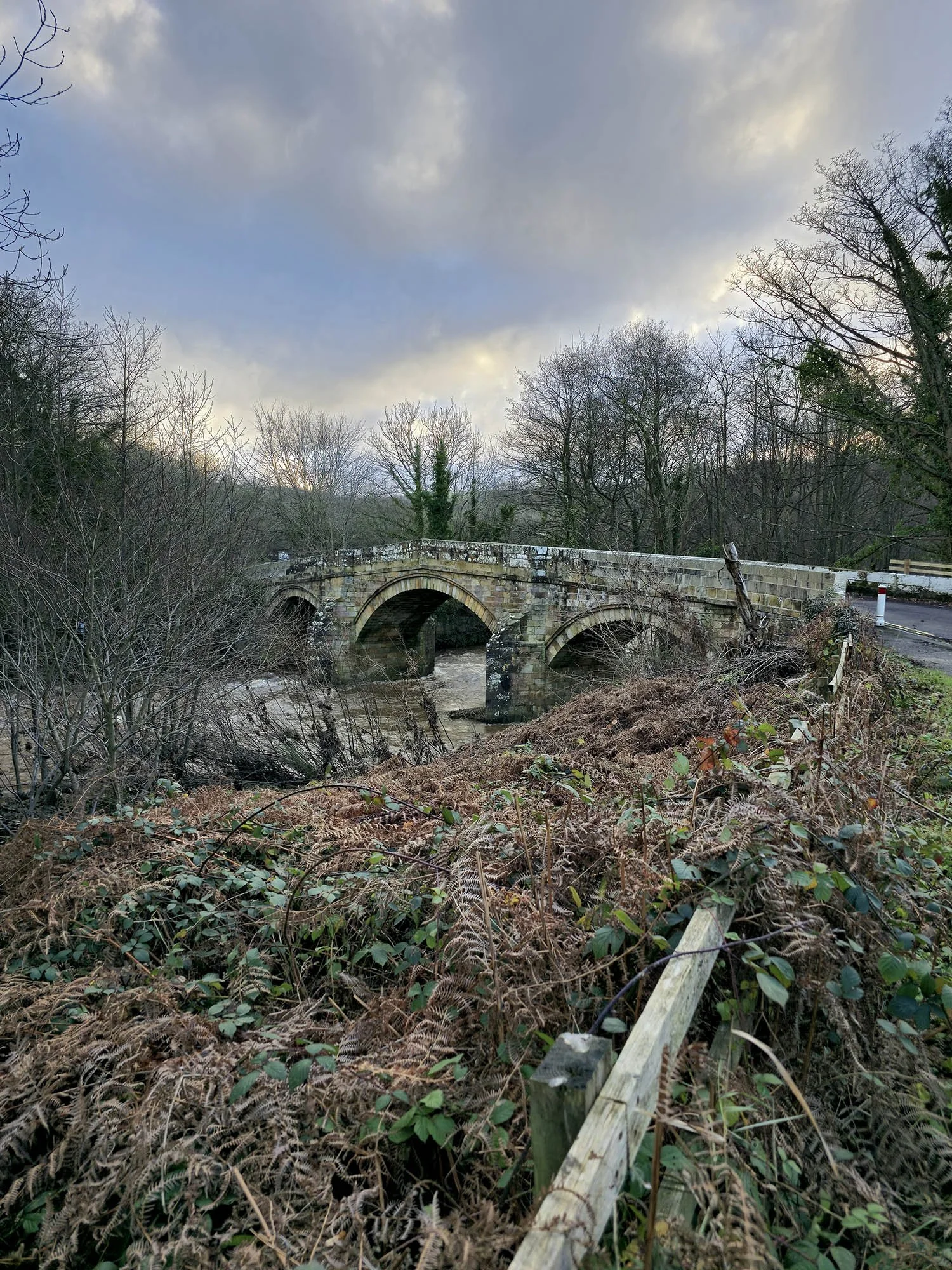
Arriving at Catterick Bridge.
Heading through Sand and Gravel Pits to Bolton on Swale.
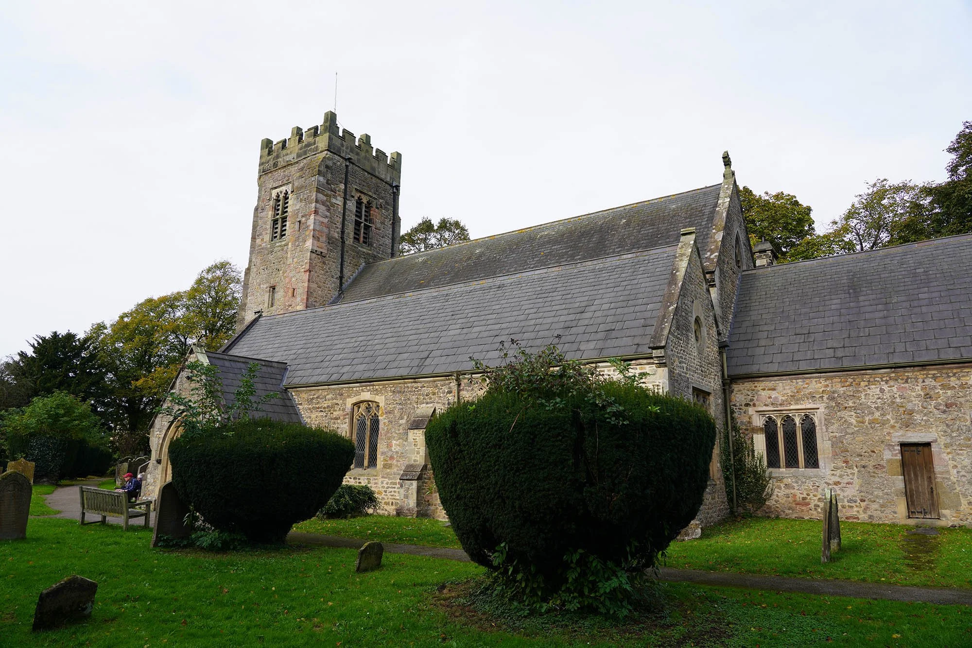
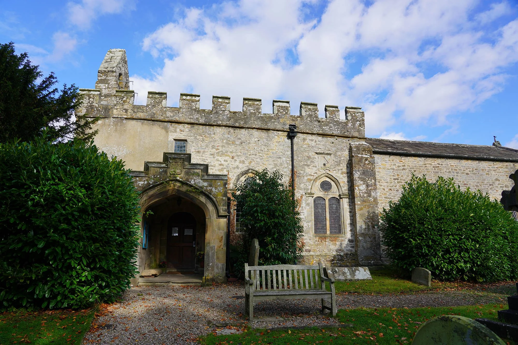
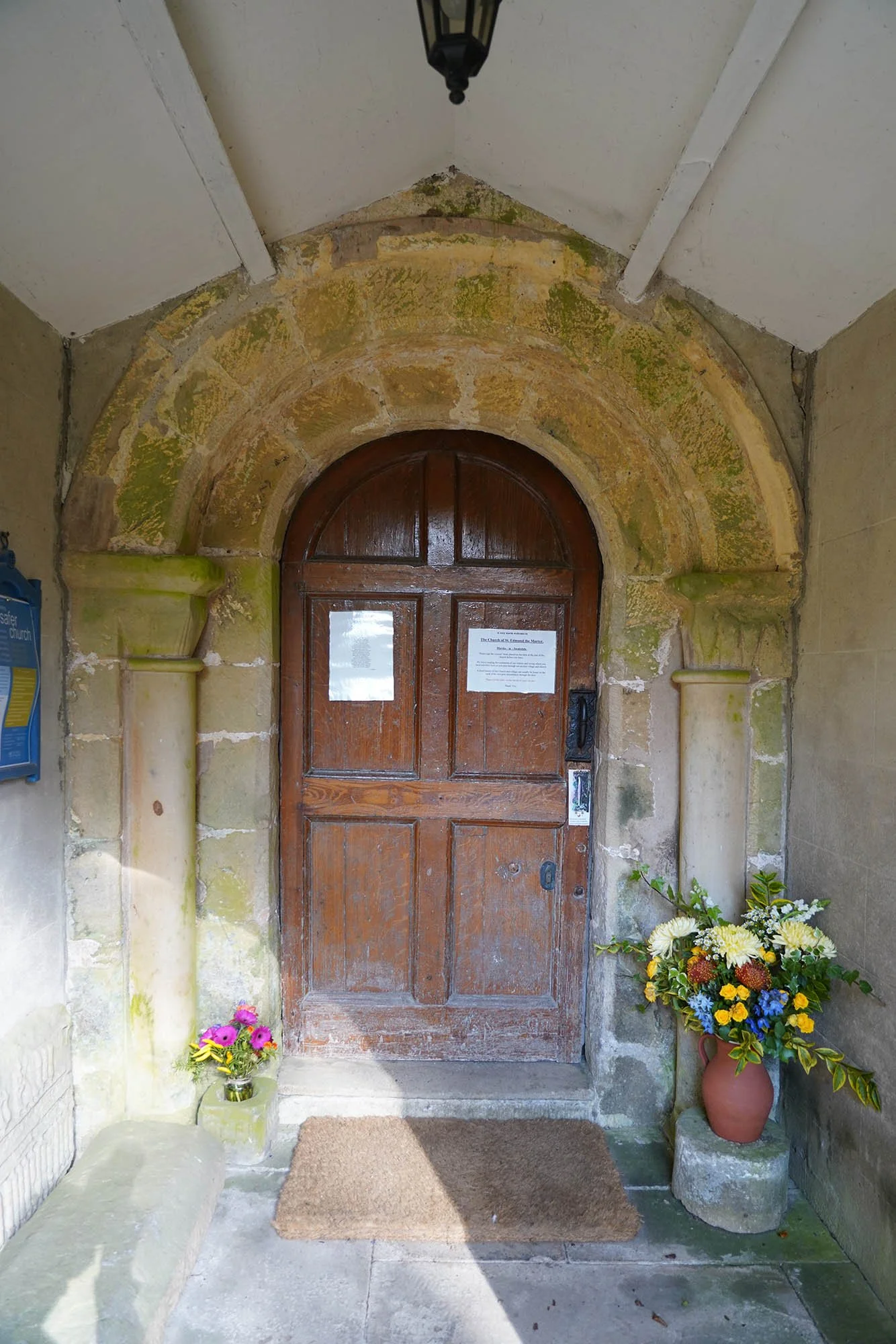
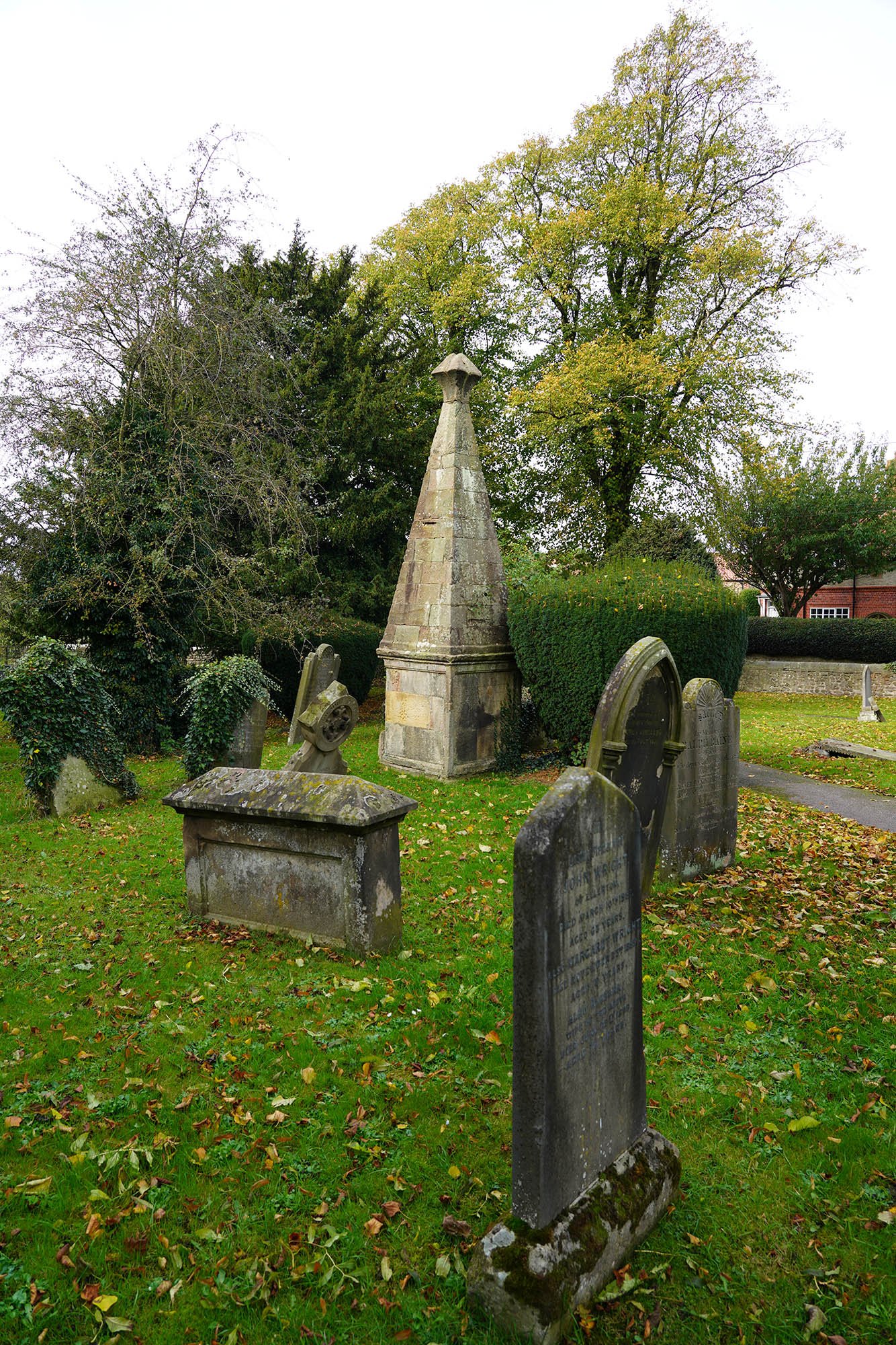
The church in Bolton on Swale.
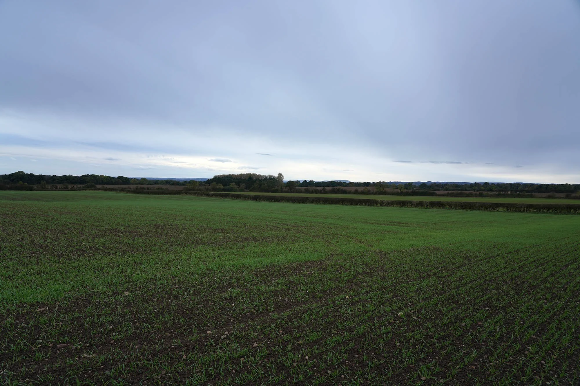
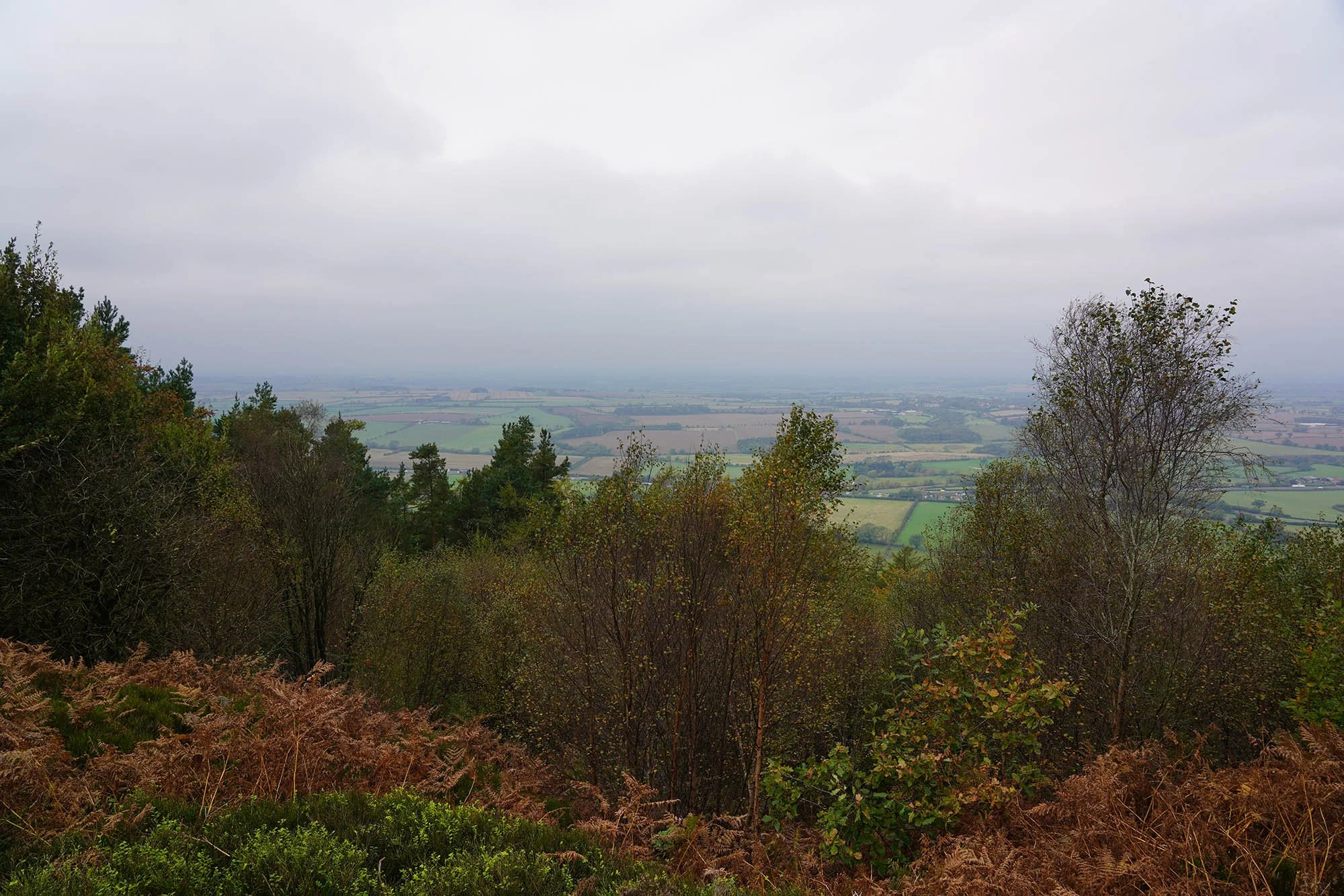
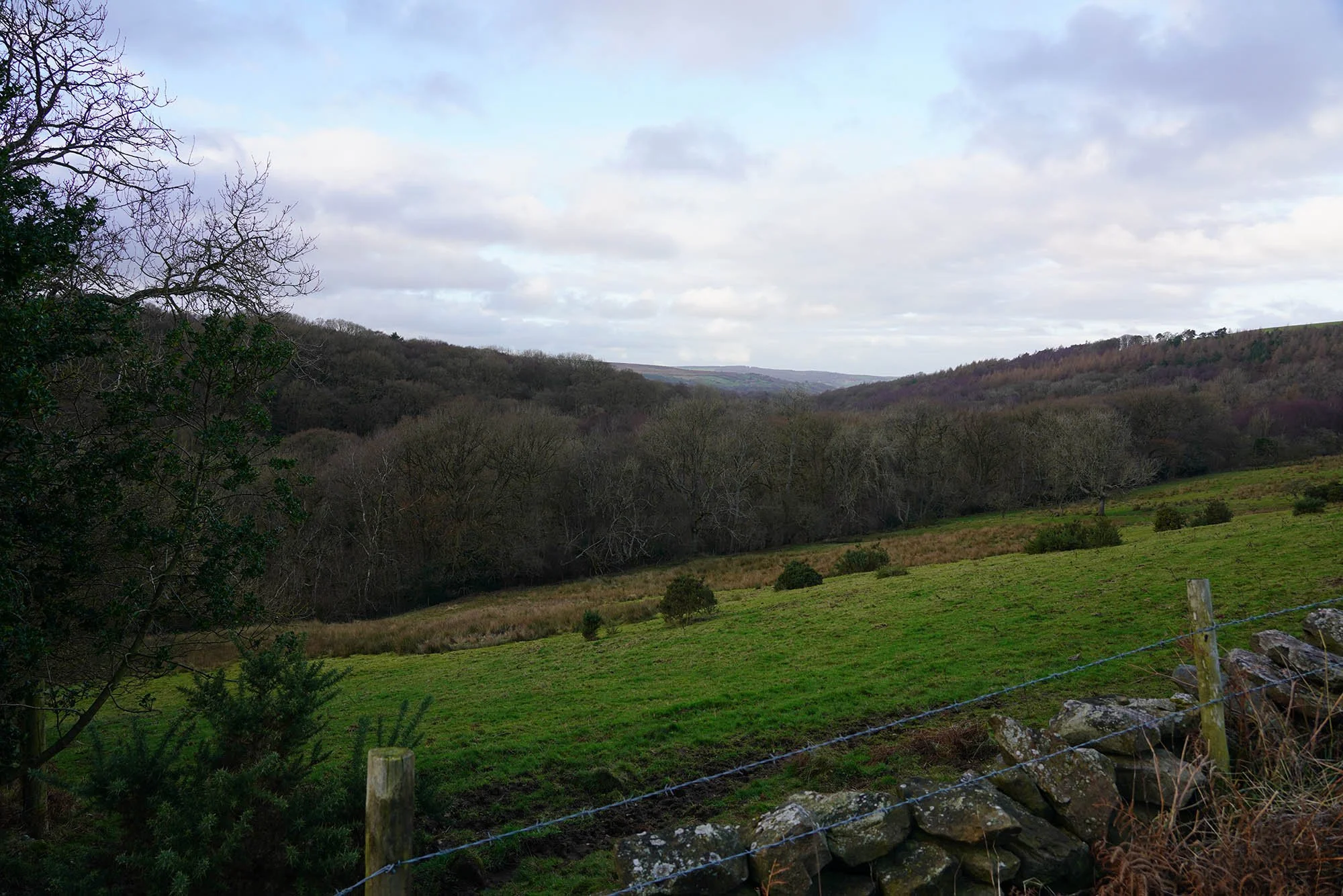
The remaining kilometres to Danby Wiske is notoriously flat and didn’t offer much in terms of views but the Yorkshire Moors were getting closer…
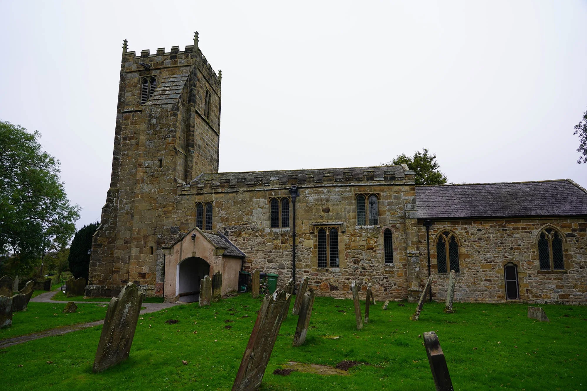
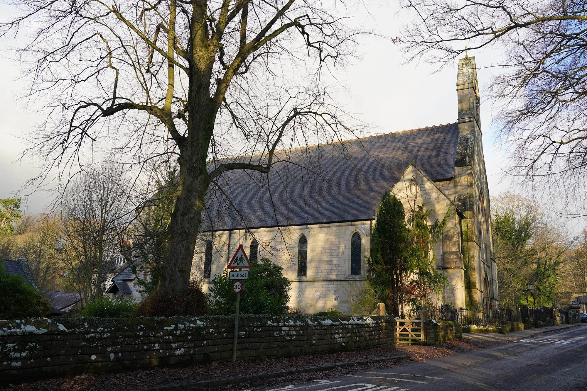
The church in Danby Wiske and the end of our days walking.
Day 12: Danby Wiske to Ingleby Cross - 14.8km (102m of Ascent)
Crossing over the railway out of Danby Wiske.
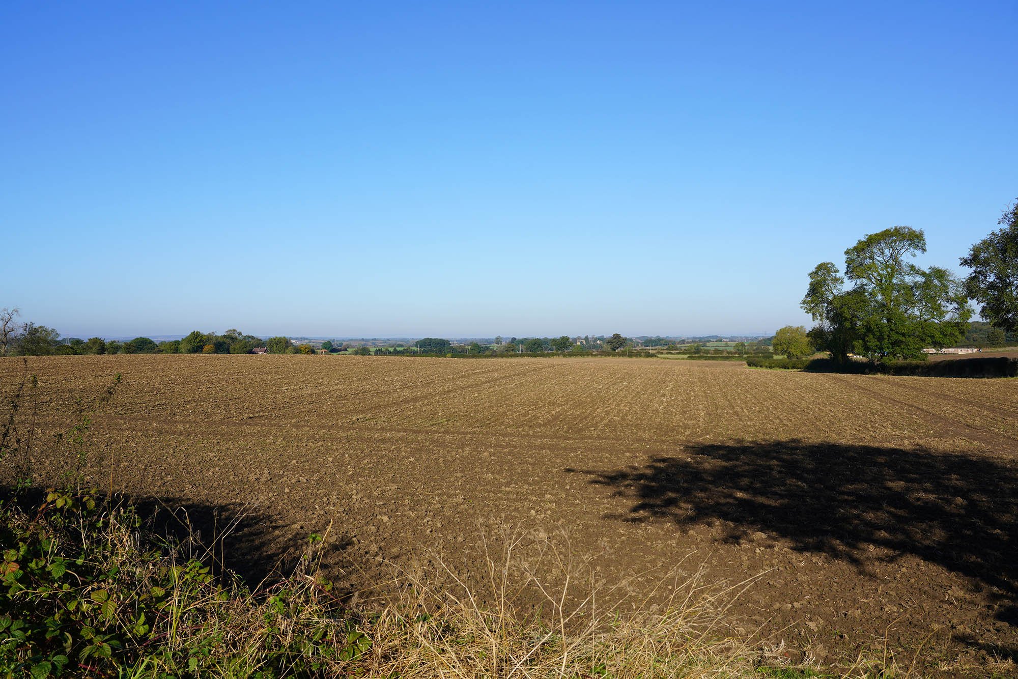
The weather was far better today which improved spirits and allowed us to enjoy this easier section.
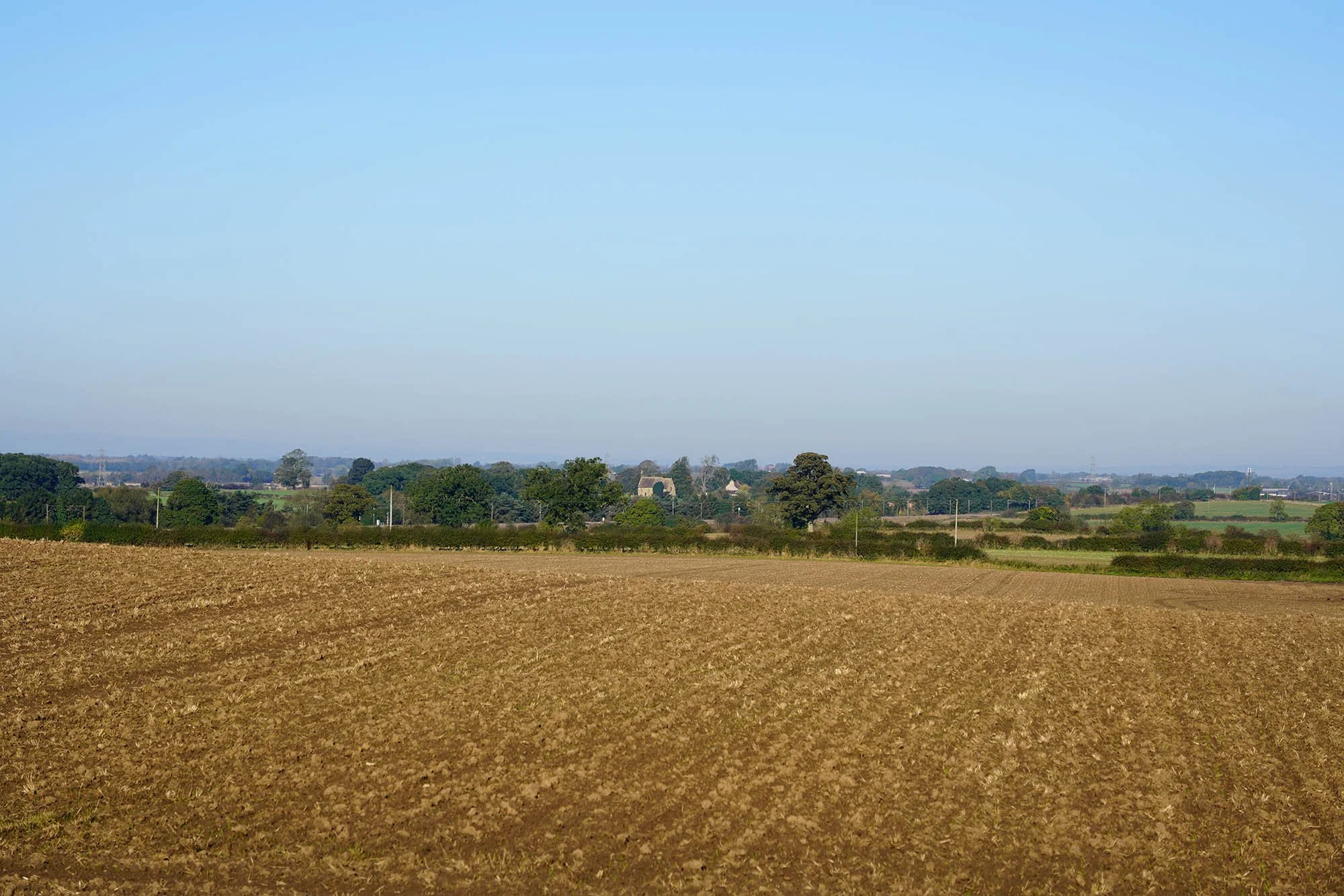
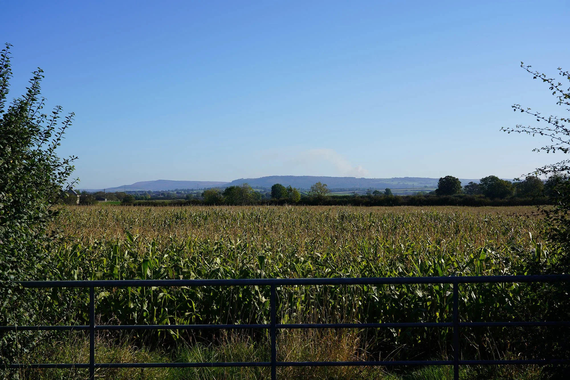
So close to the Yorkshire Moors.
Just an hour or so left of today - with less than 15km walked it felt like a rest day!
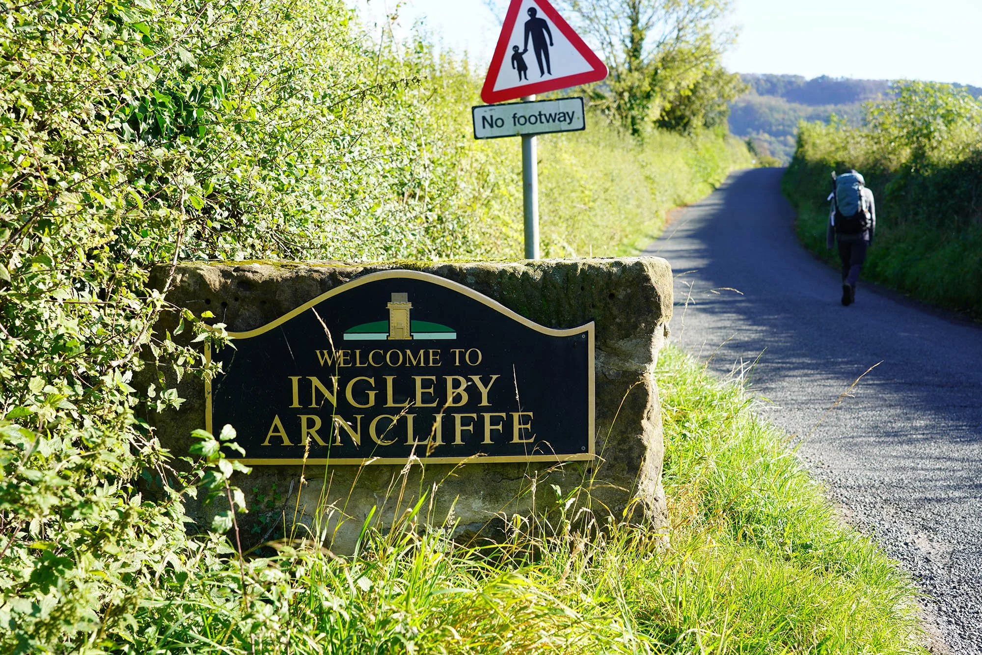
Heading into Ingleby Arncliffe and the end of the days walking. Tomorrow is probably going to be tough…
Day 13: Ingleby Cross to Clay Bank Top - 20.1km (916m of Ascent)
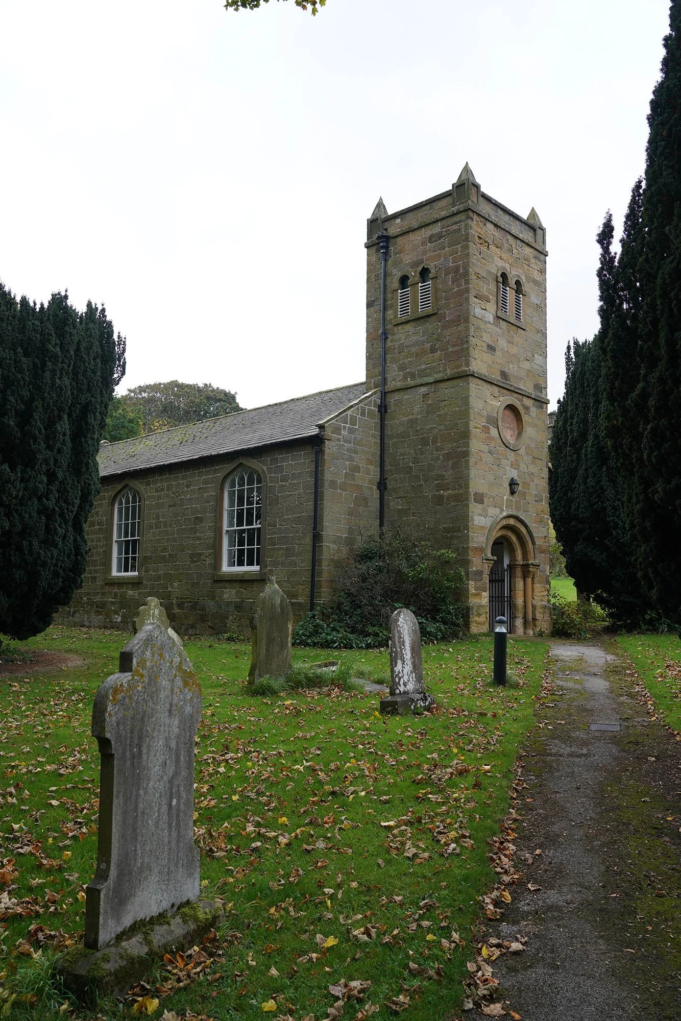
The church in Ingleby Cross.
Arncliffe Hall.
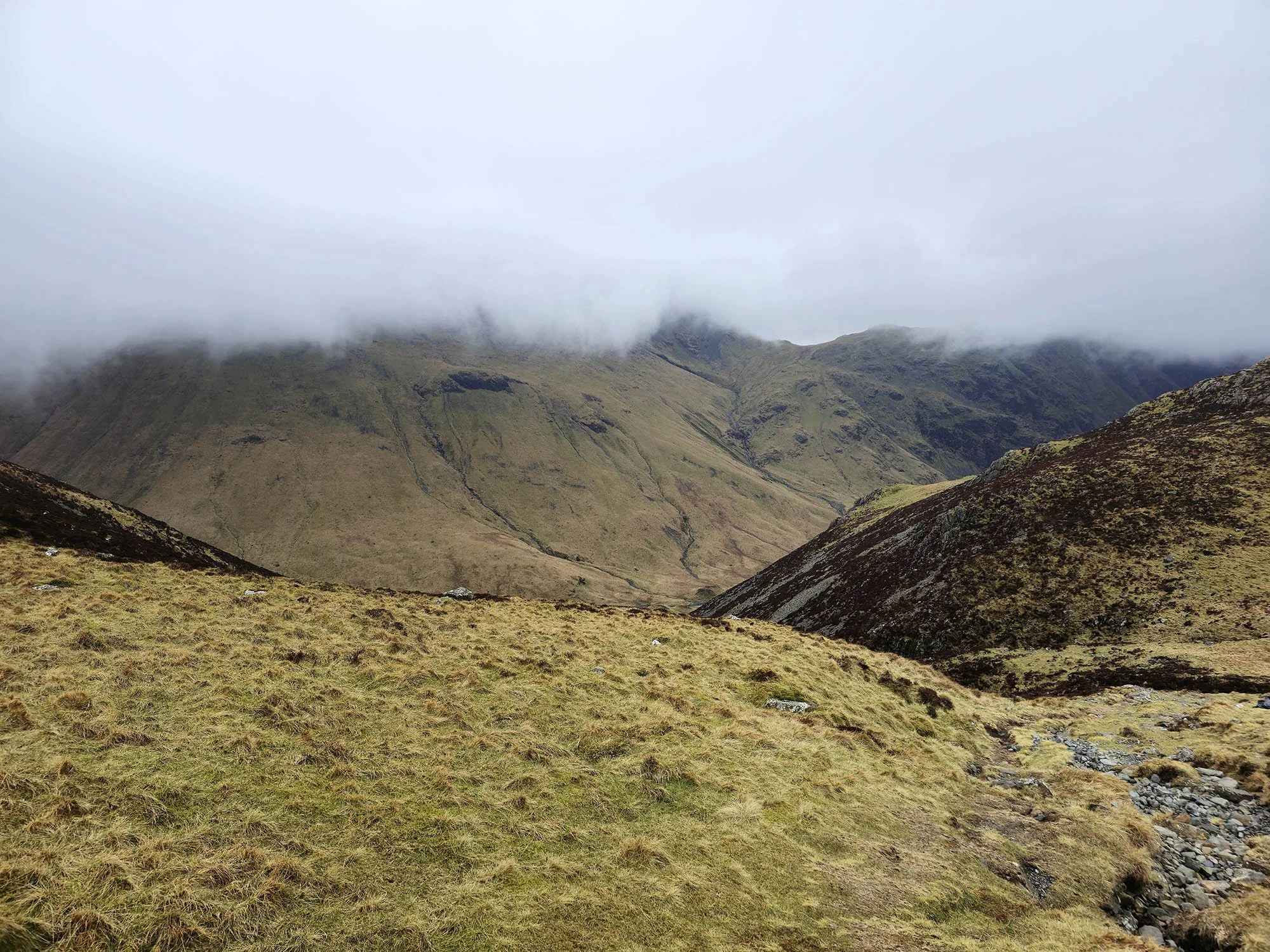
Gaining height and getting some views - shame about the weather!
The trig point on Beacon Hill - the first of the Cleveland Hills.
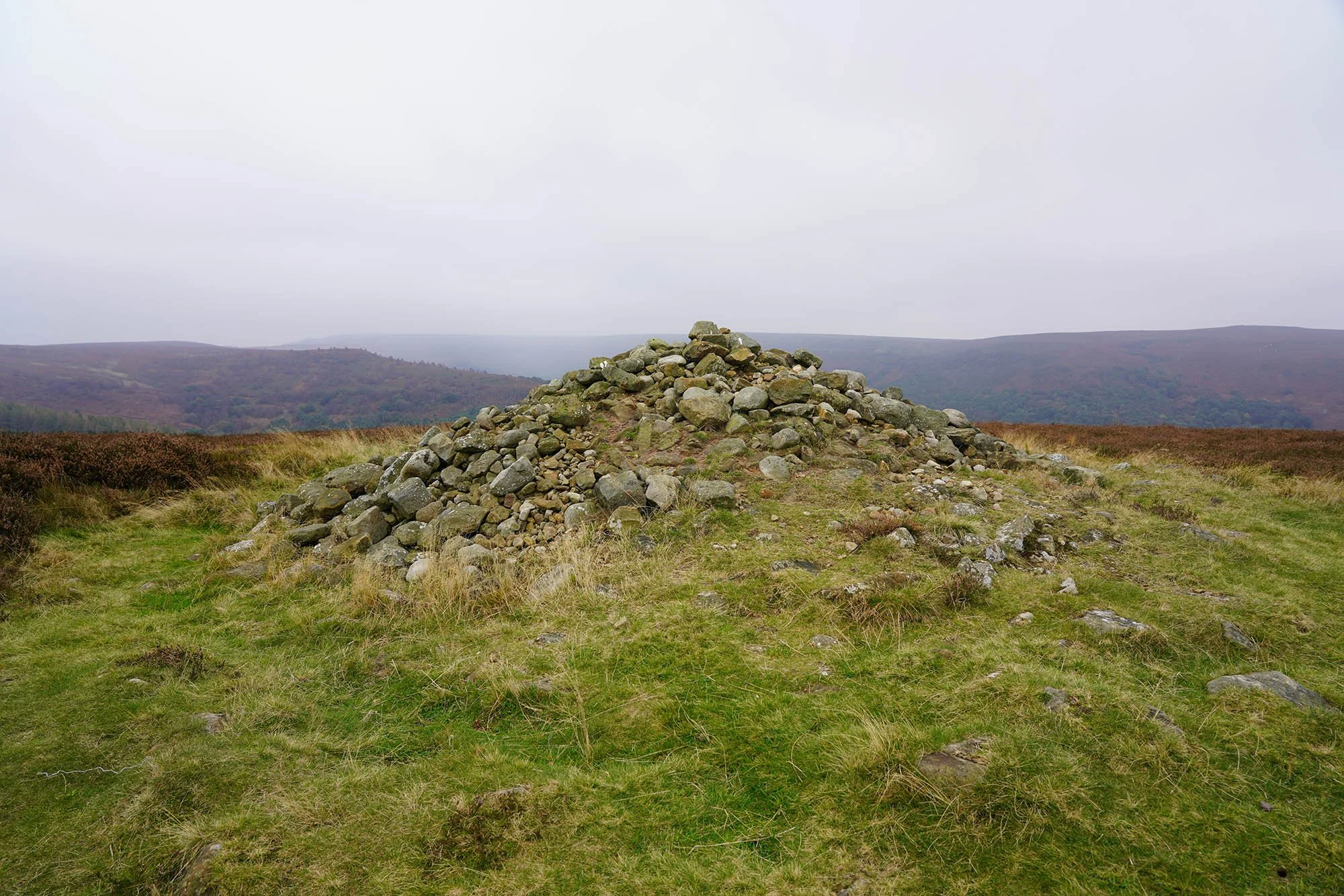
Ancient cairn on Round Hill.
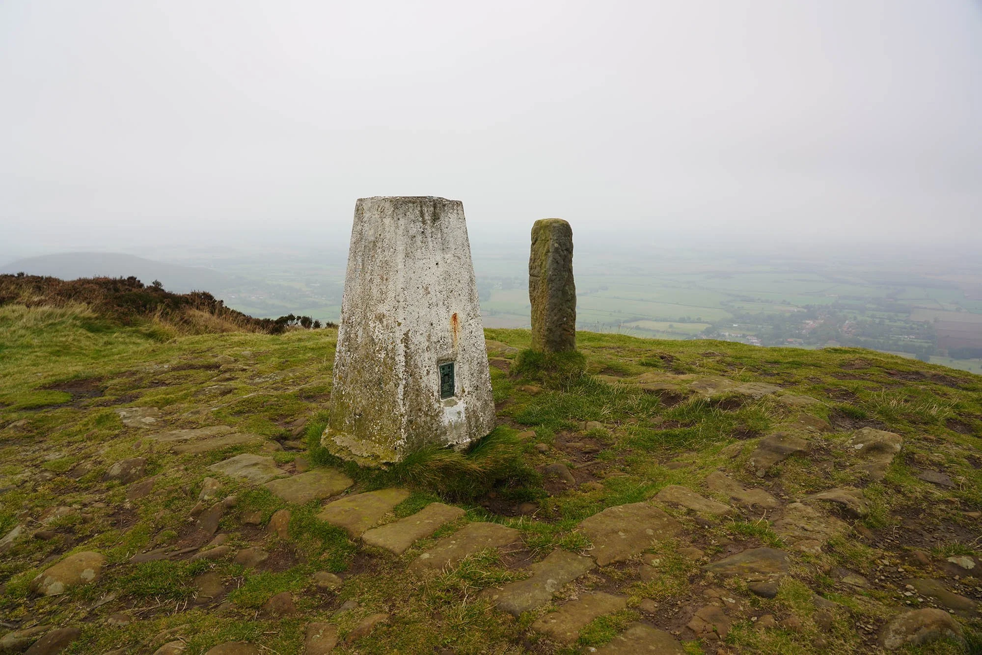
The Trig Point on Carlton Moor at 408m.
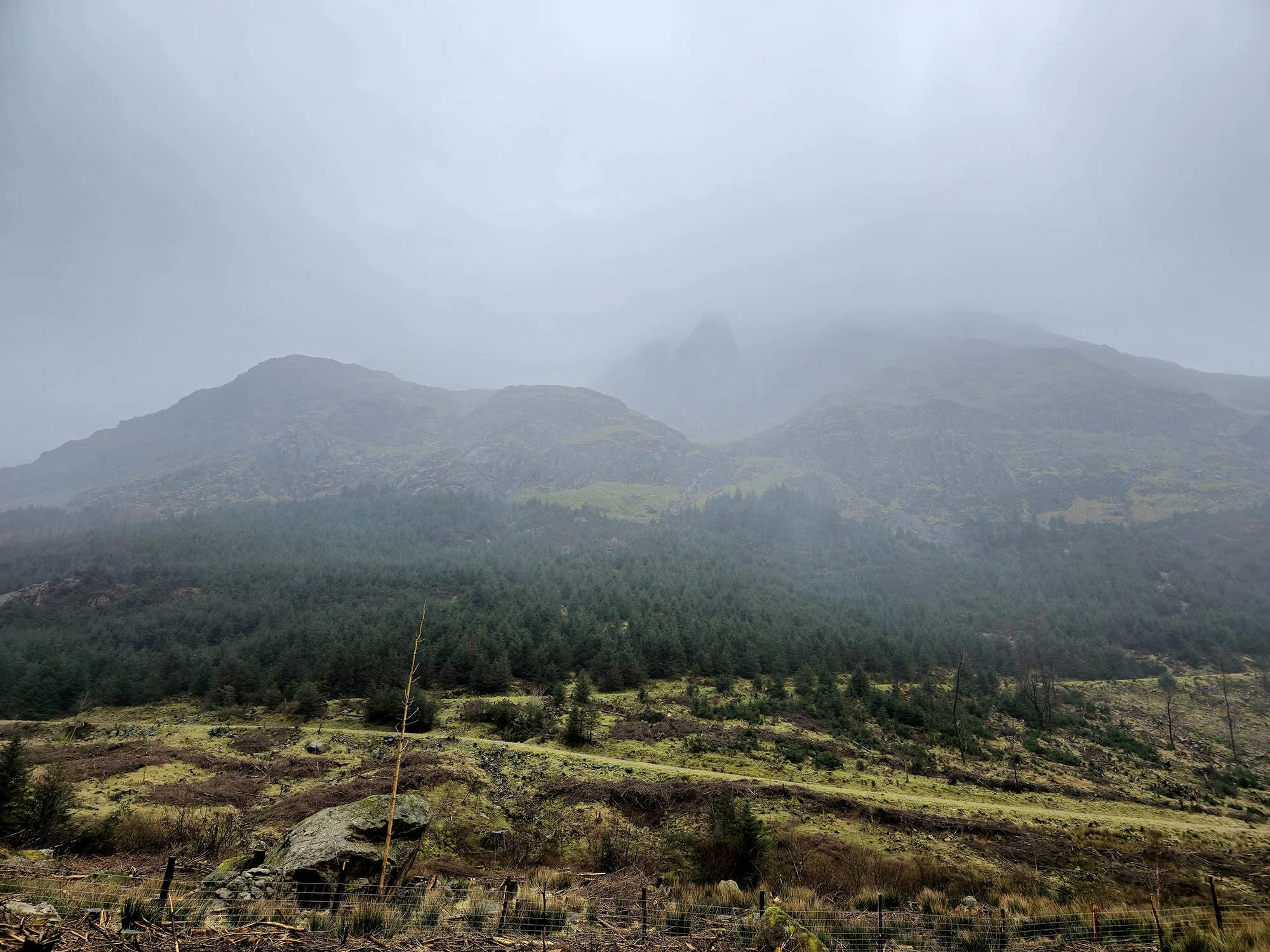
From here on we were stuck in the cloud until the end of the day.
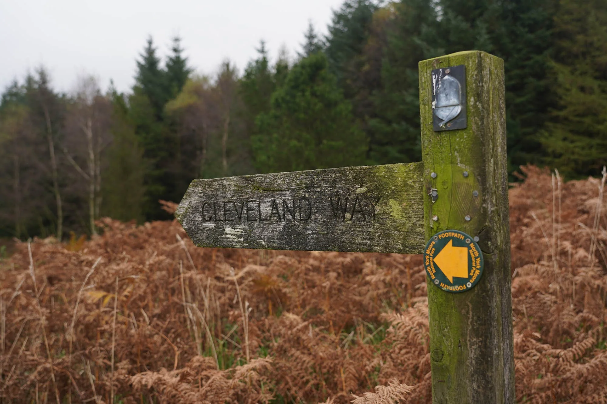
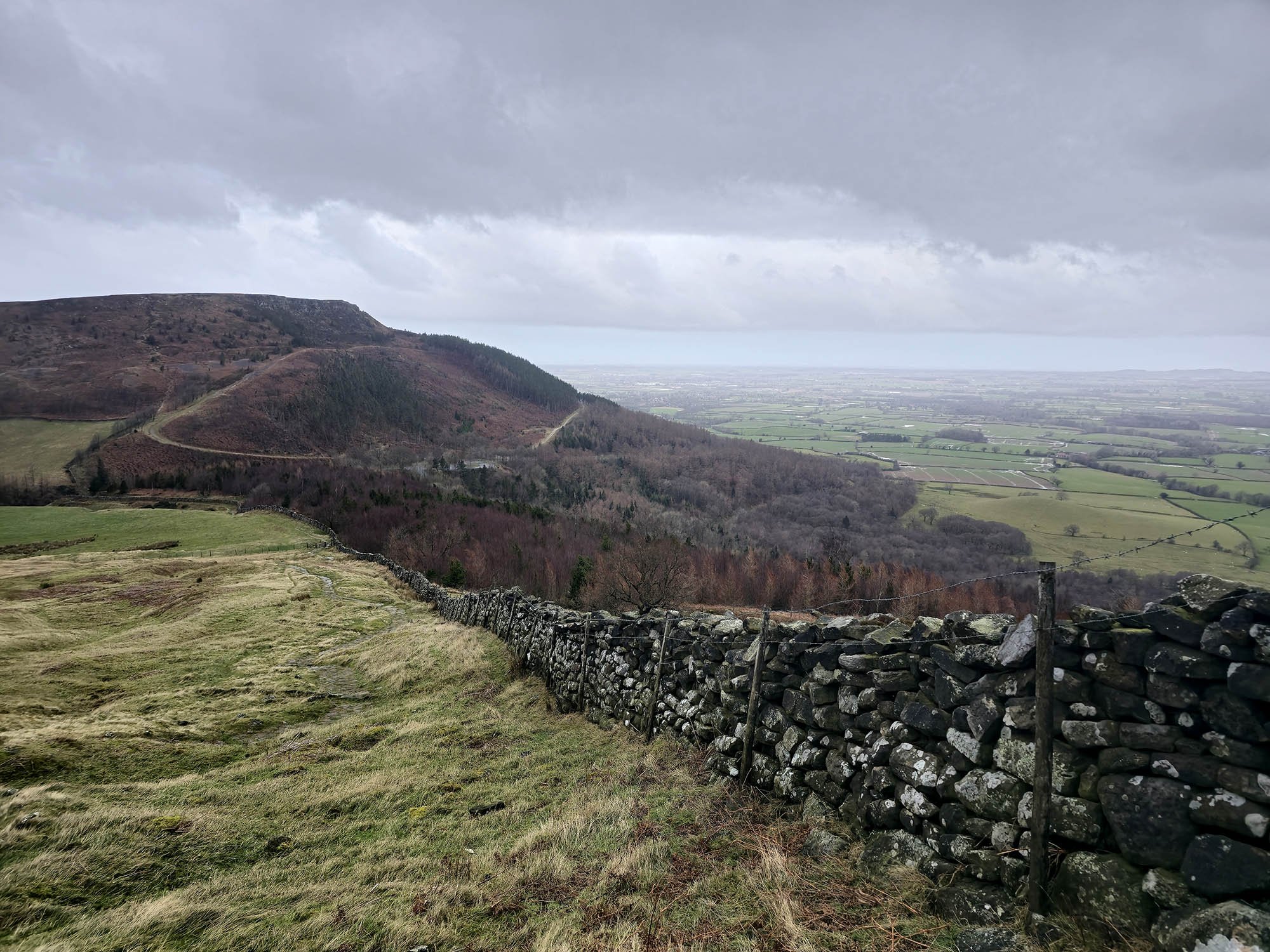
We are following part of the Cleveland Way as we head over all of the Cleveland Hills. Sadly no views today.
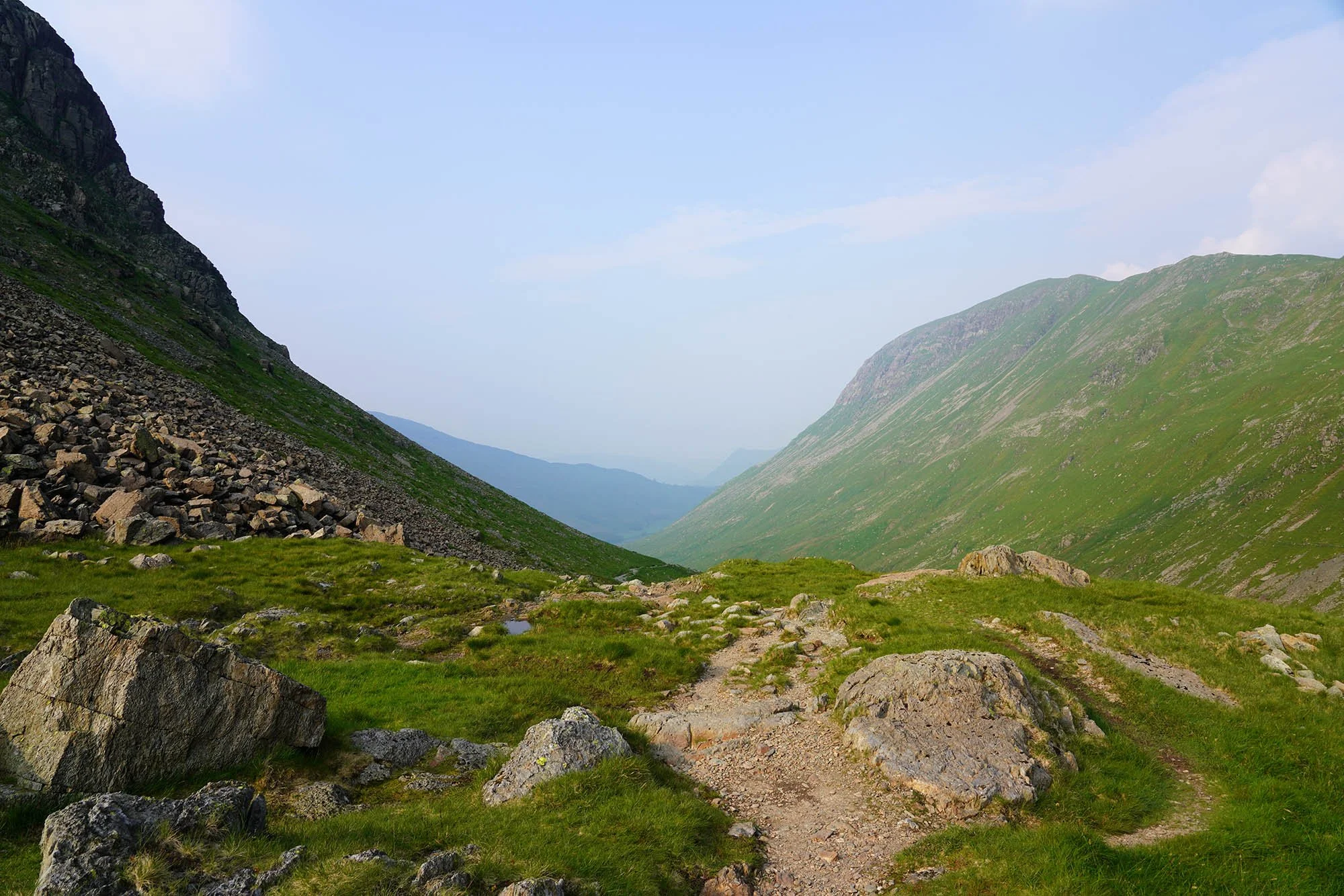
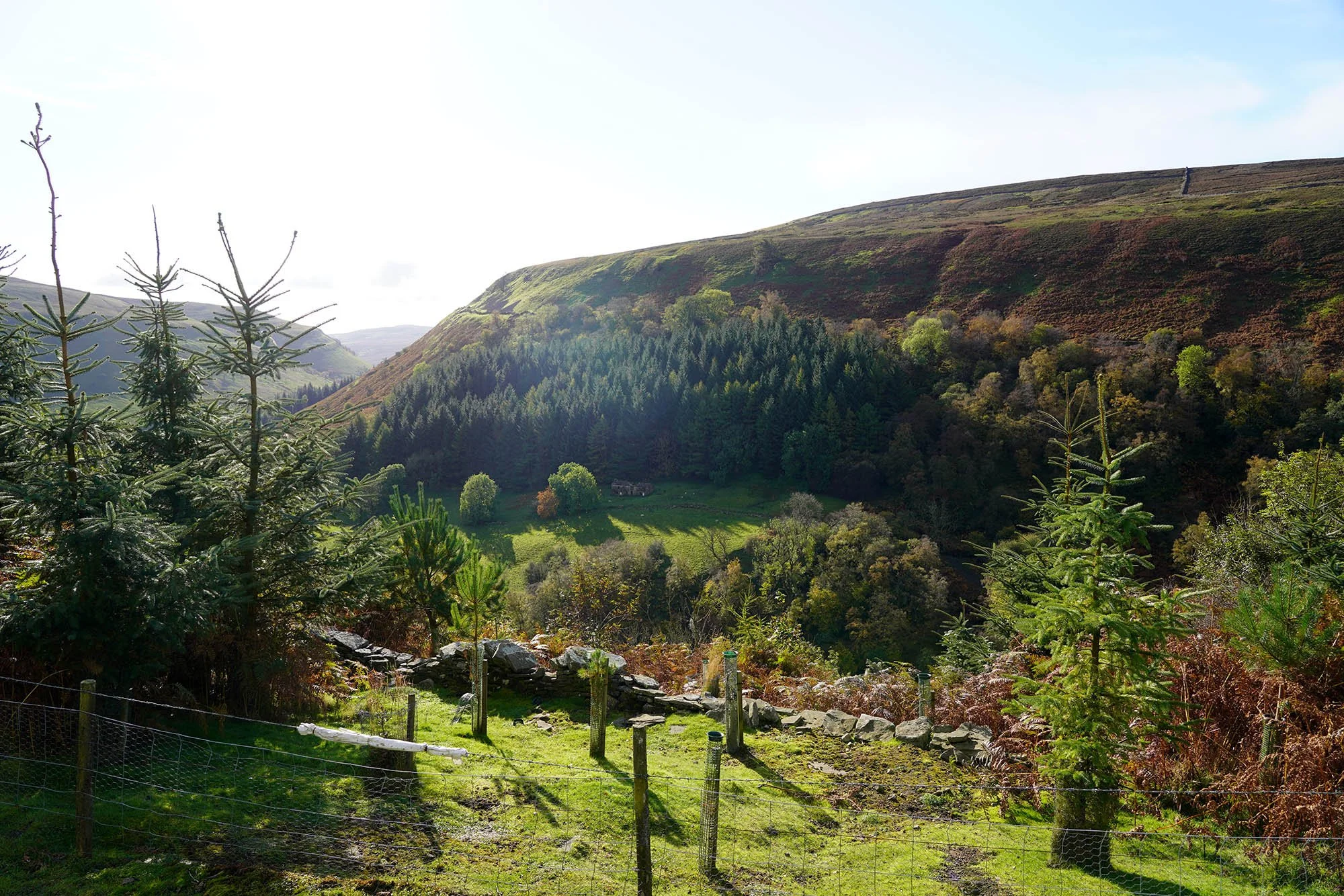
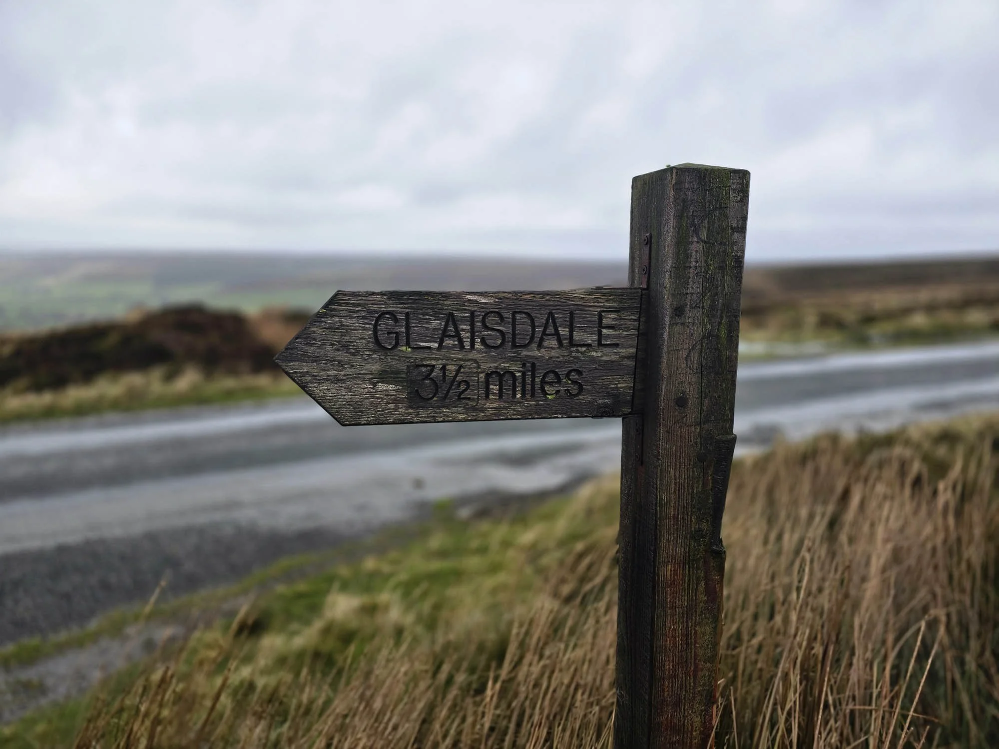
Day 14: Clay Bank Top to Glaisdale - 29.1km (373m of Ascent)
Heading up onto the Cleveland Hills once again, this time from Clay Bank Top. The forecast today was mixed but all terrible - Gale Force Winds, Hail, Constant Rain. For now - clear but windy!
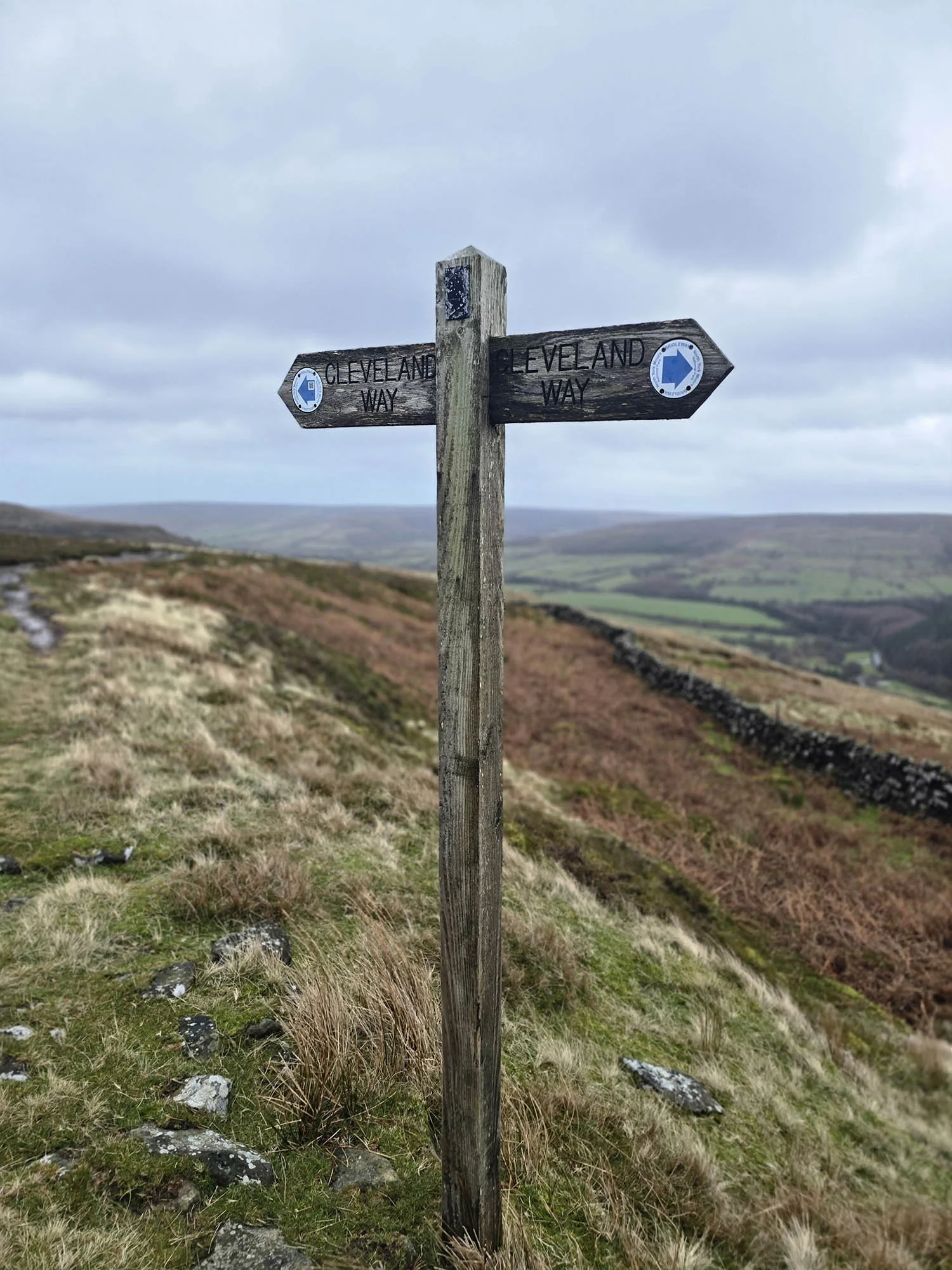
Still on the Cleveland Way - one for the future.

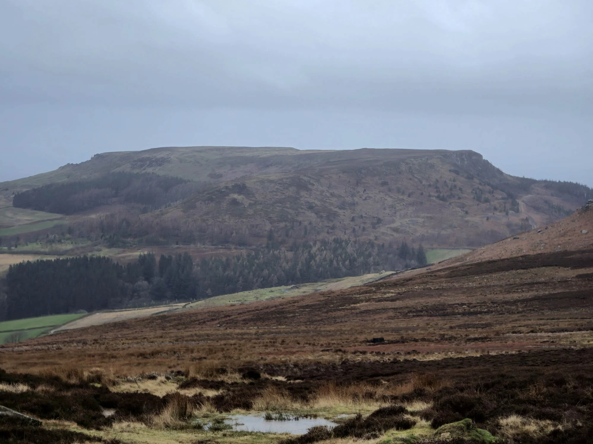
Roseberry Topping from the Cleveland Hills.

Roseberry Topping.

Lovely views today so far! The weather is far better than forecast.
I think this is Hasty Bank.

Cringle Moor and Broughton Bank.

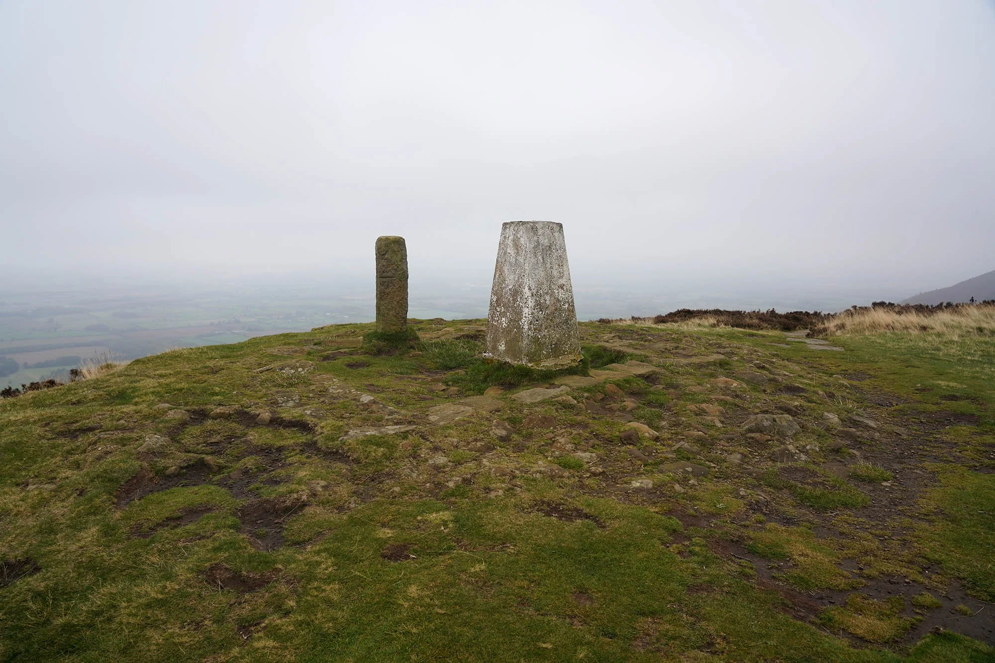
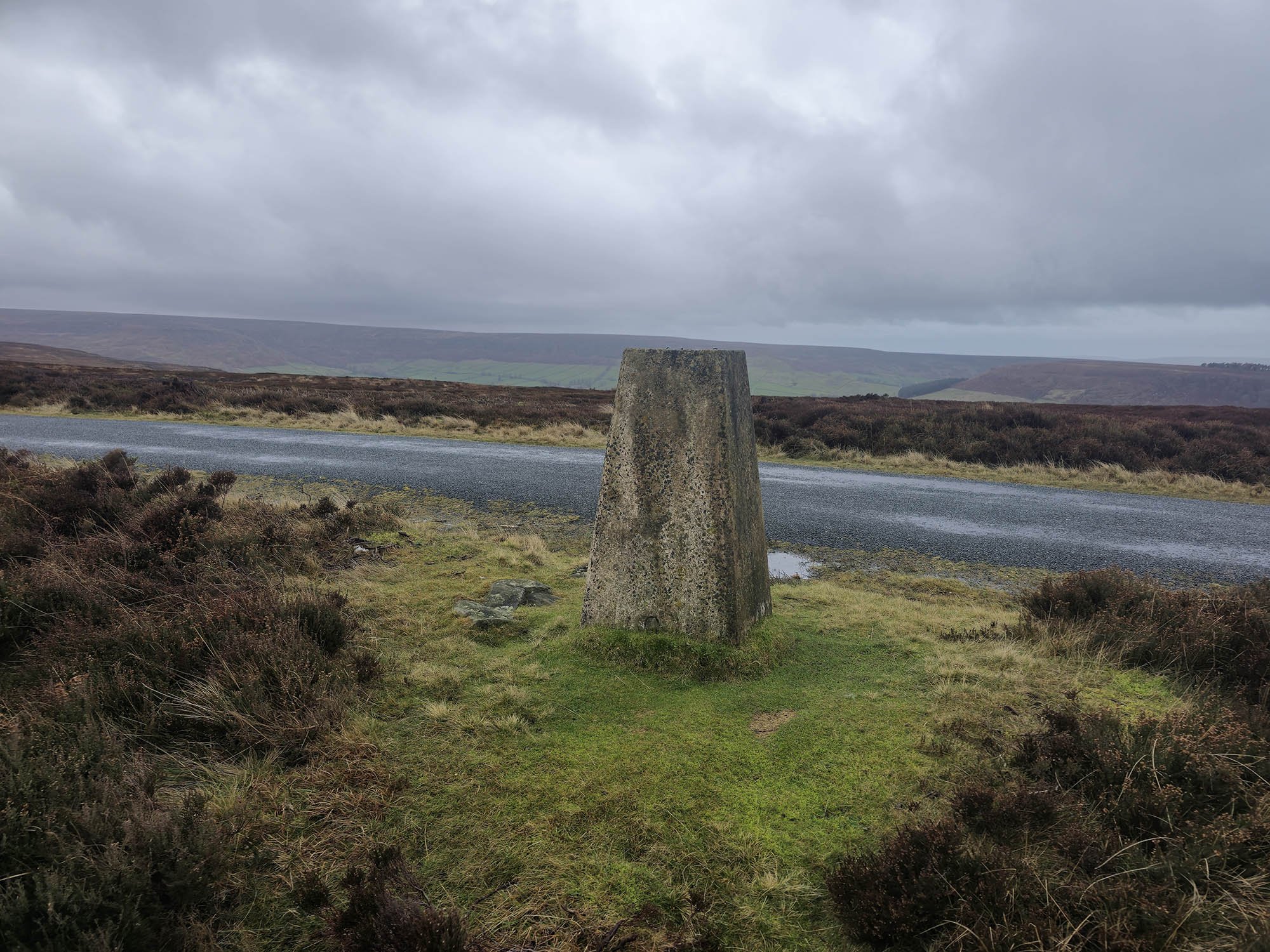
The Trig Point on Round Hill at 454m and the highest point in the Yorkshire Dales National Park.
A view south with a sign of poor weather inbound.
On the old railway line now across the moors. The wind speed really picked up - reaching about 50mph here.
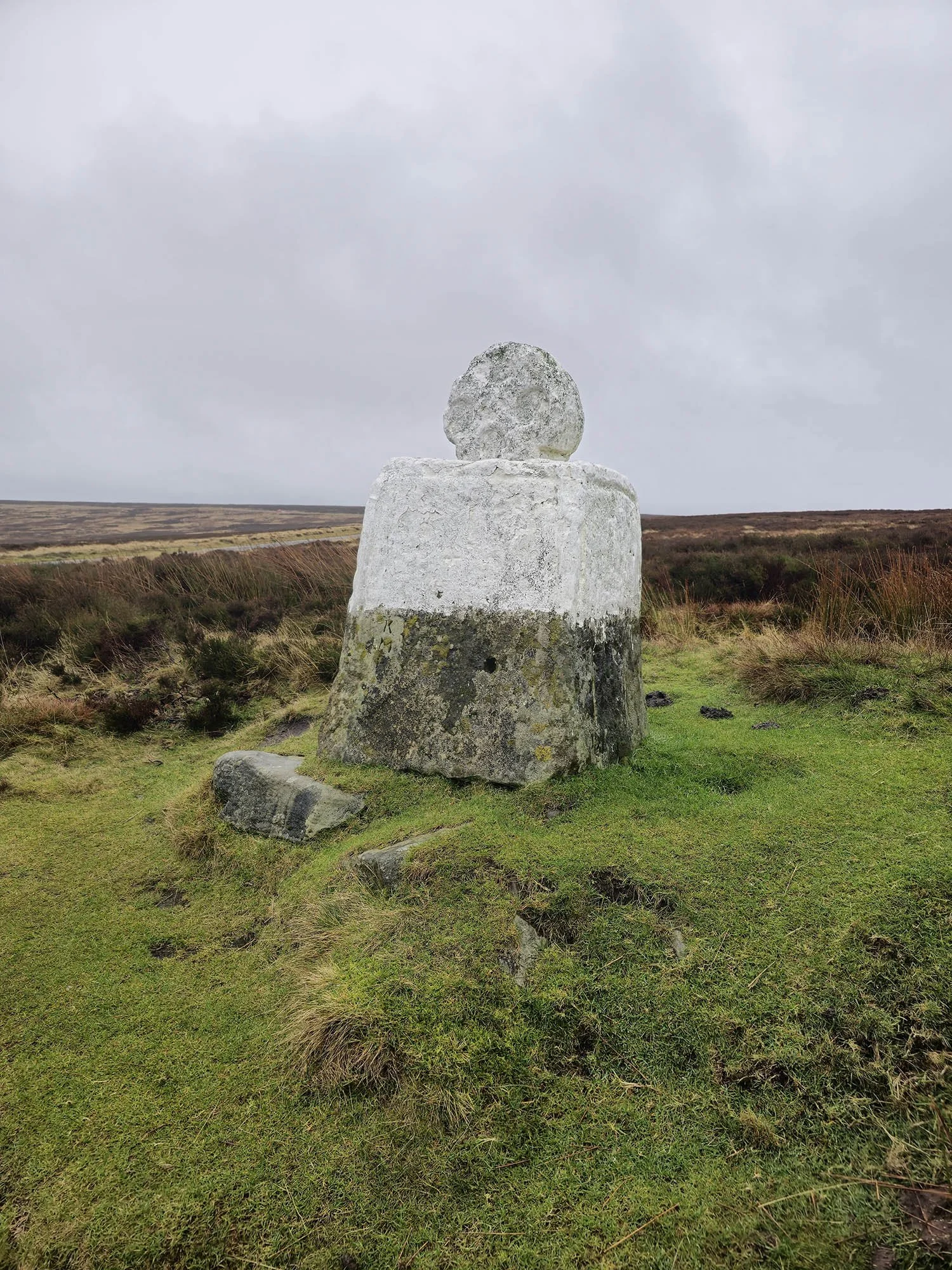
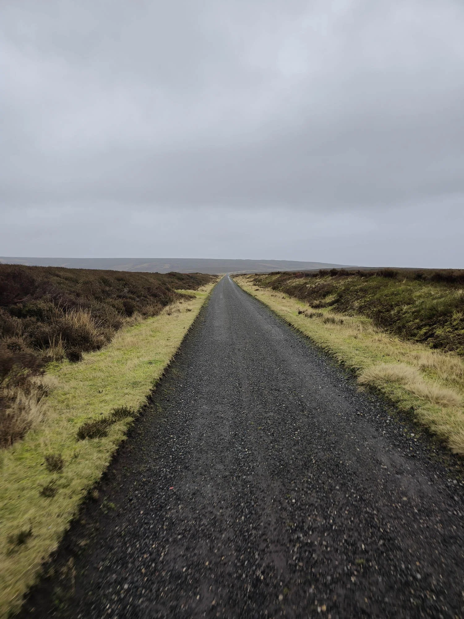
White Cross or “Fat Betty” as it is known. It has hailed and rained for the last 2 hours now…
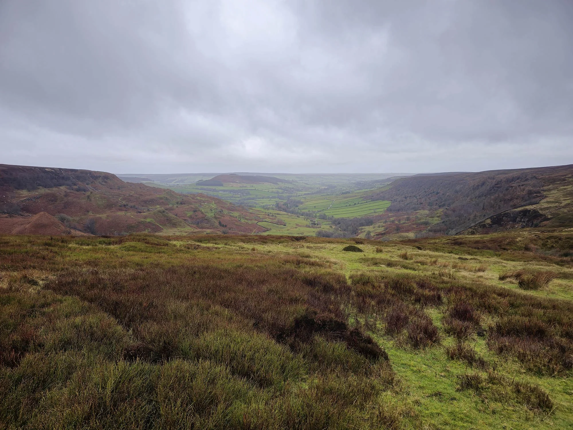
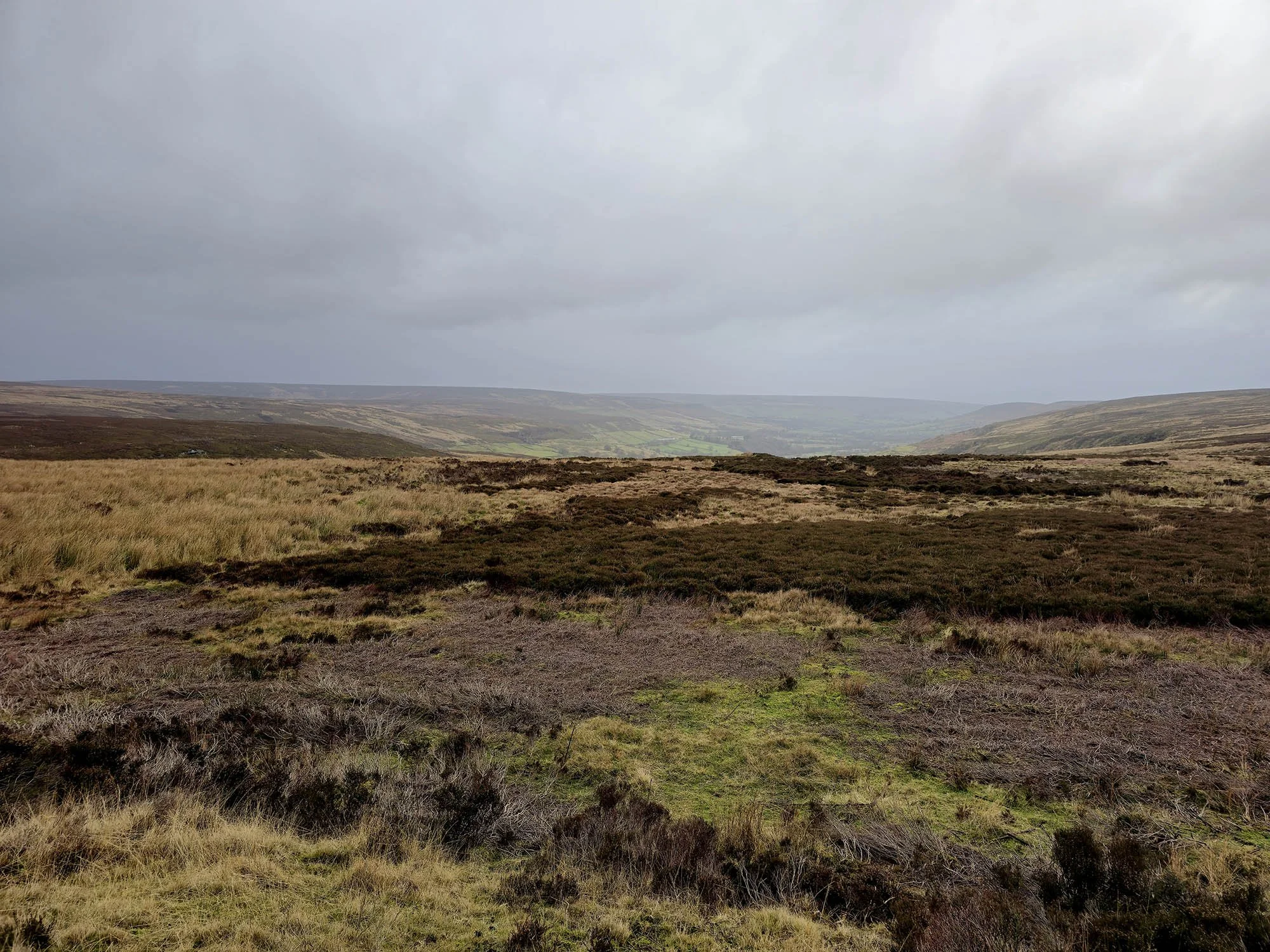
Great Fryup Dale.
So far today it has been one of the hardest days walking I have ever experienced. The Hail, Wind and Rain adding a whole new challenge to overcome, along with the near 30km distance!
Getting close to our destination.
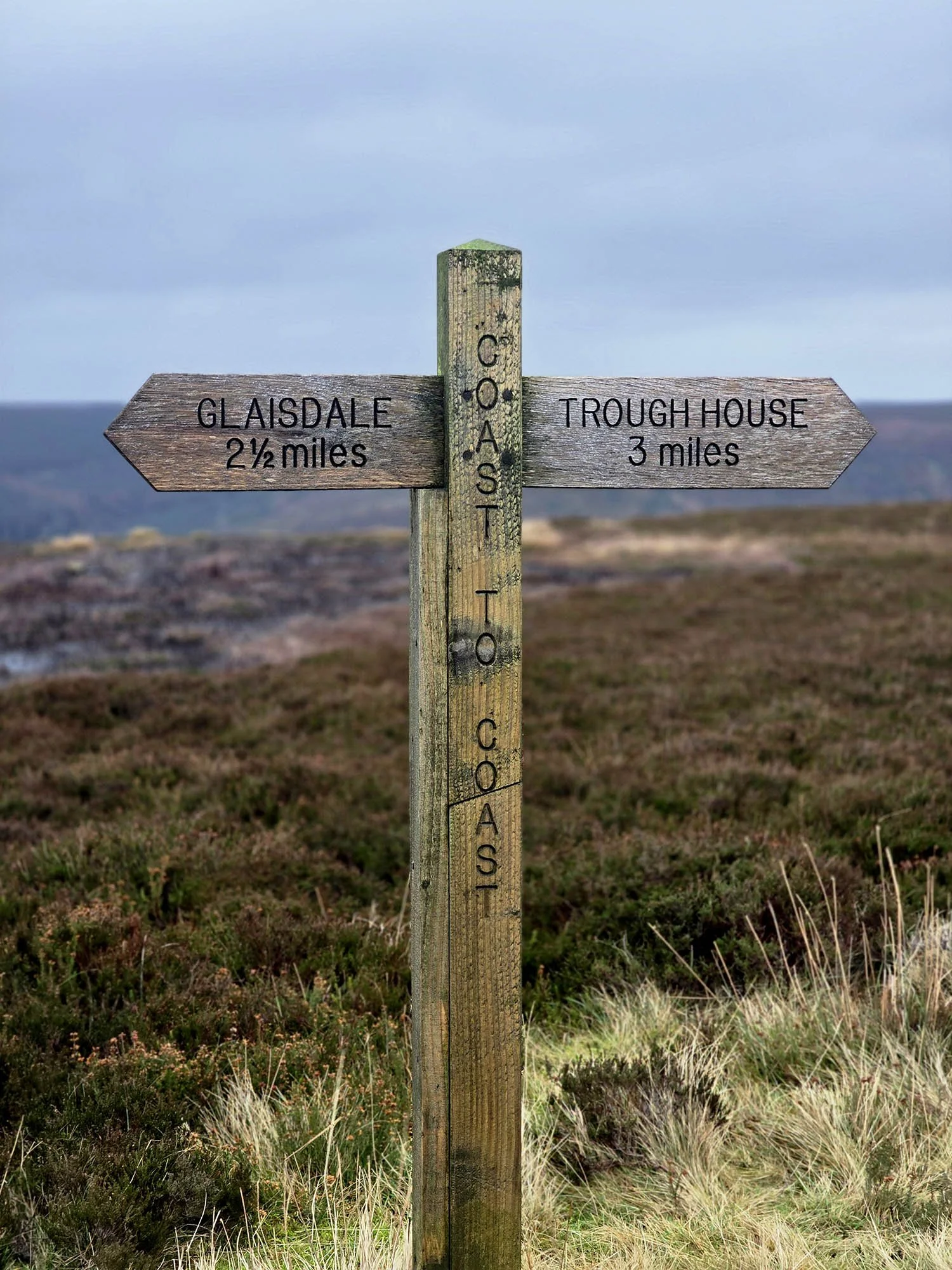
The 326m Trig Point on Glaisdale Rigg.
Day 15: Glaisedale to Hawsker - 25.4km (617m of Ascent)
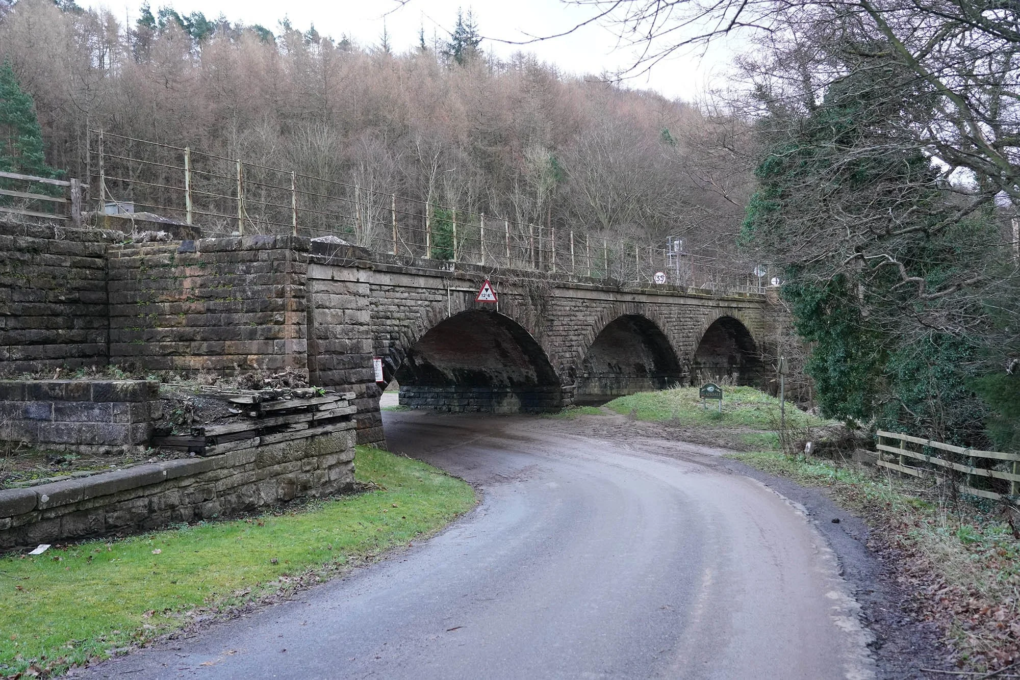
Heading under the railway at Glaisdale.
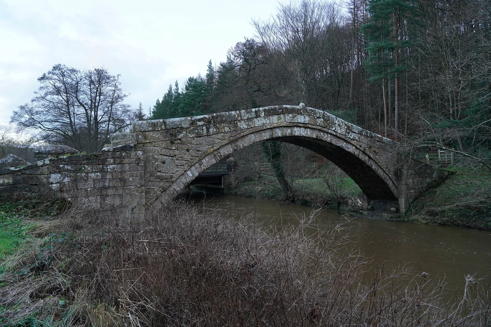
Beggars Bridge.

Crossing the river at Egton Bridge.
The church at Egton Bridge.
Heading over the bridge and into Grosmont.
Heading up the steep road out of Grosmont.
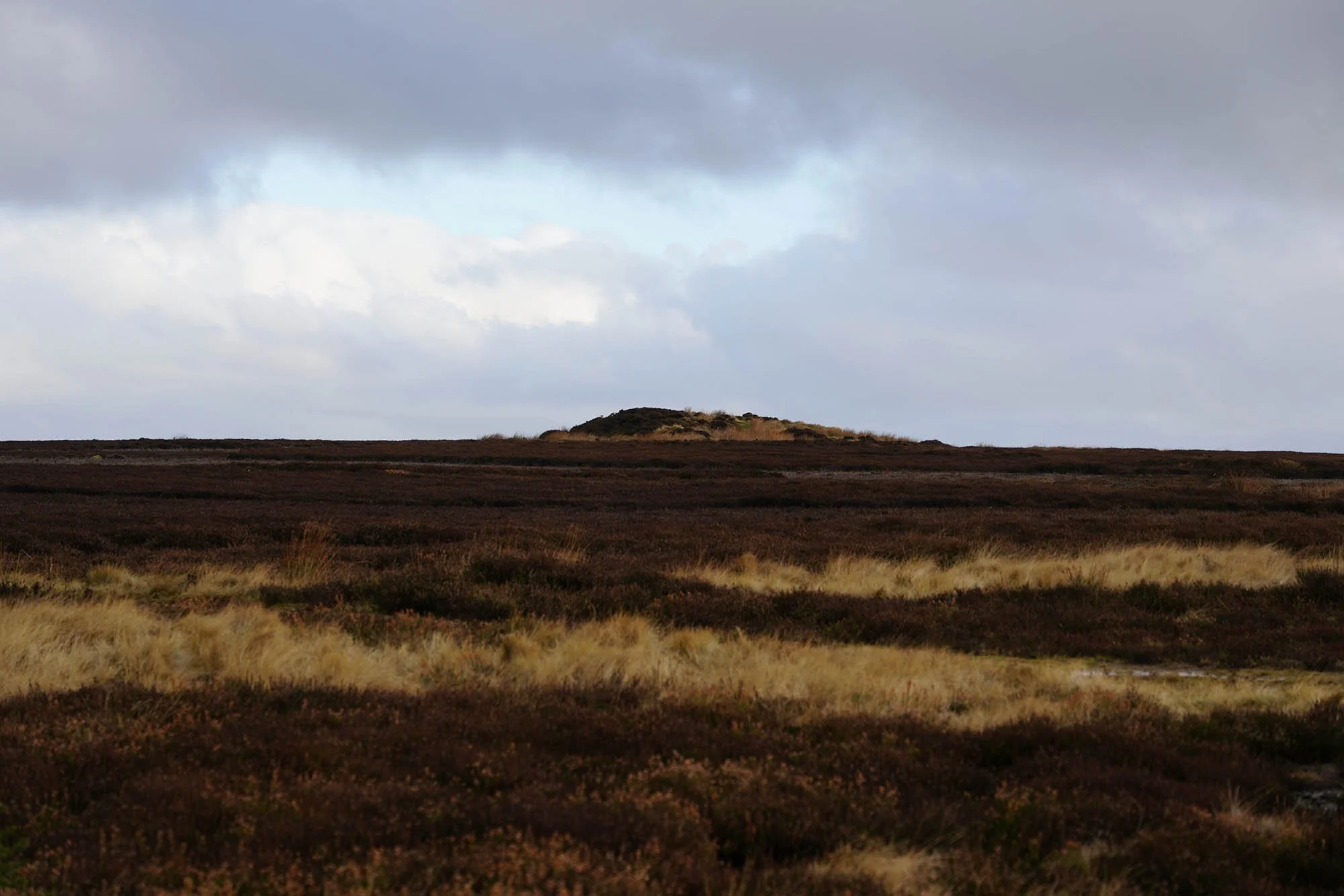
The burial mound on Flat Howe.
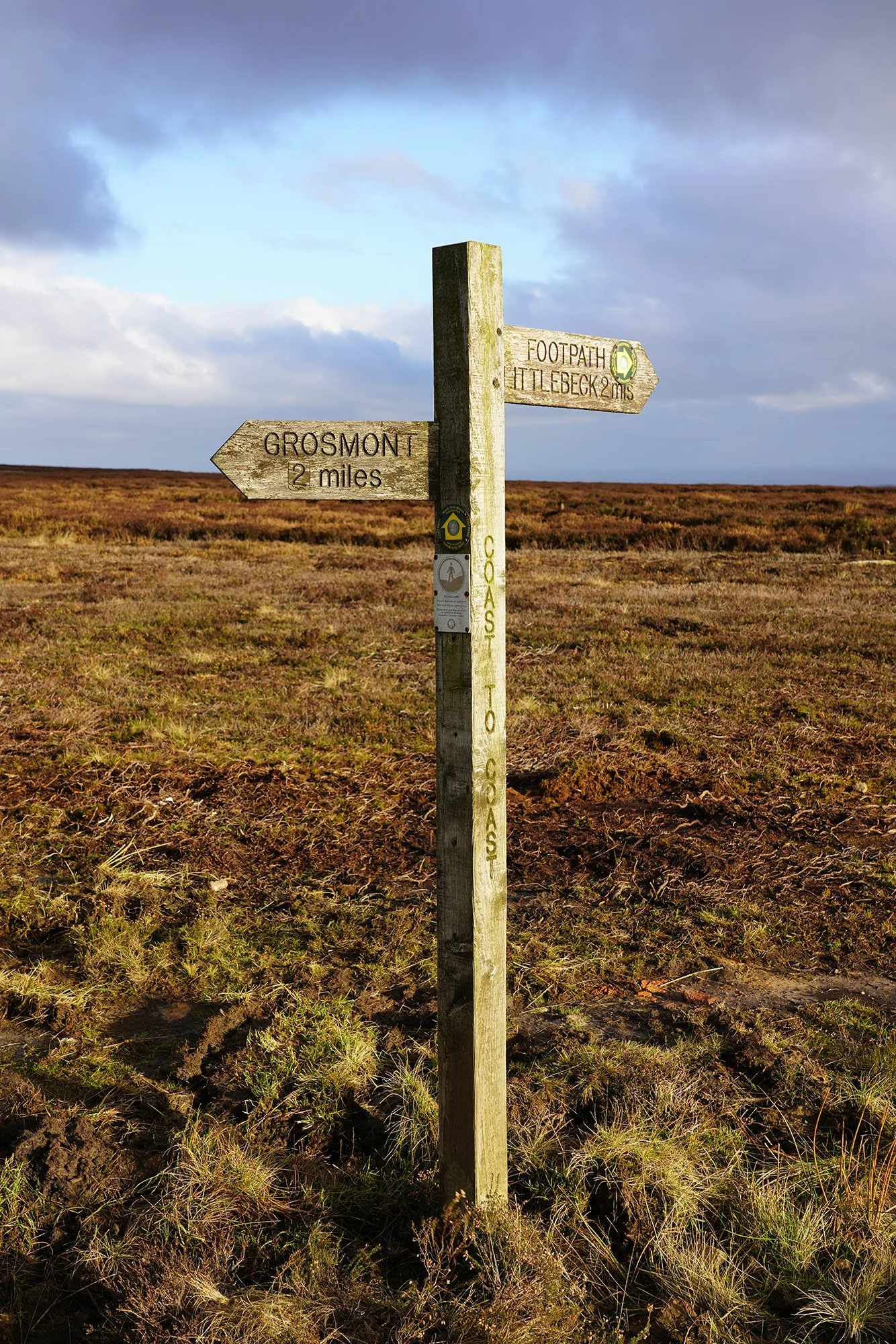
Following the signs to Littlebeck.
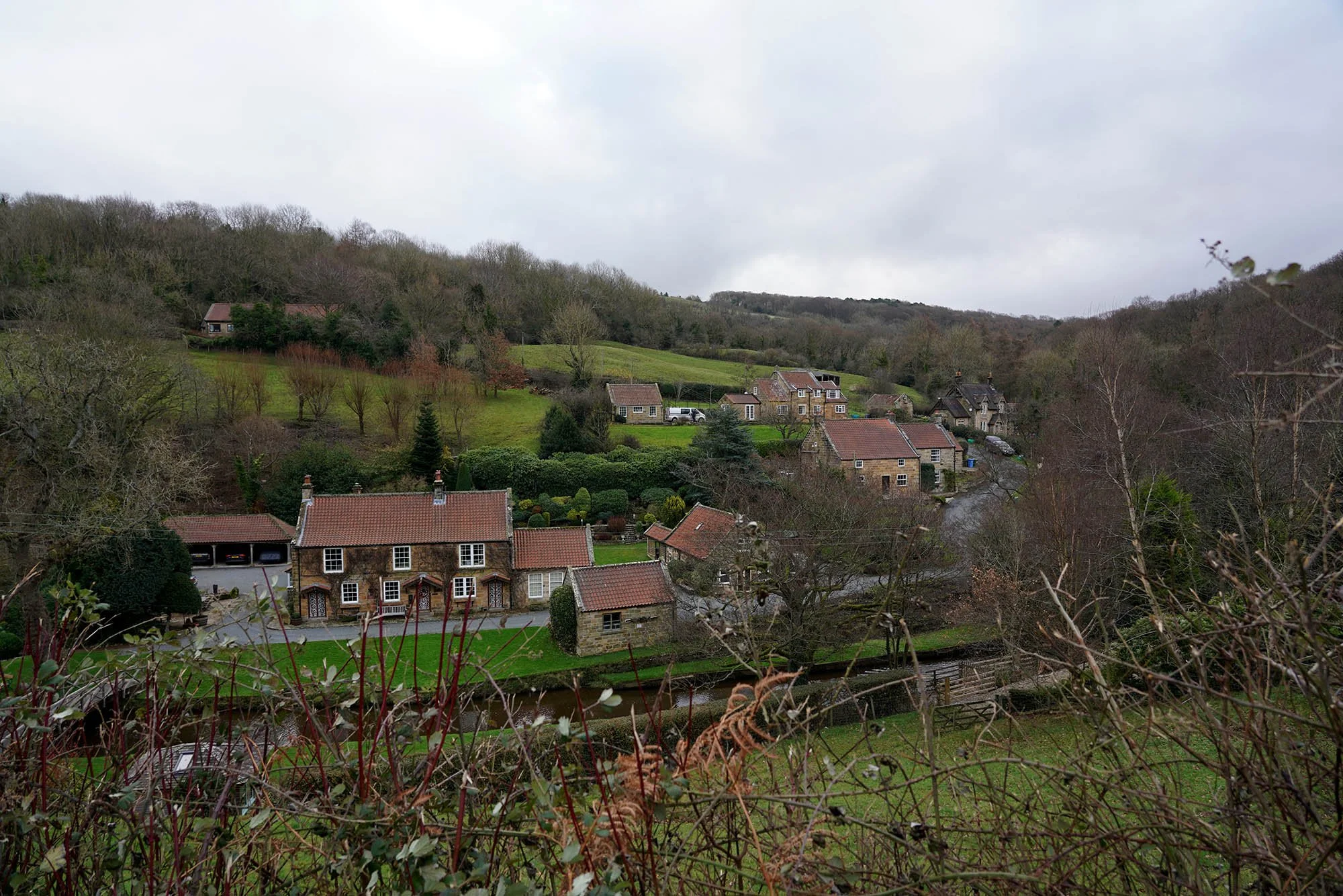
Littlebeck.
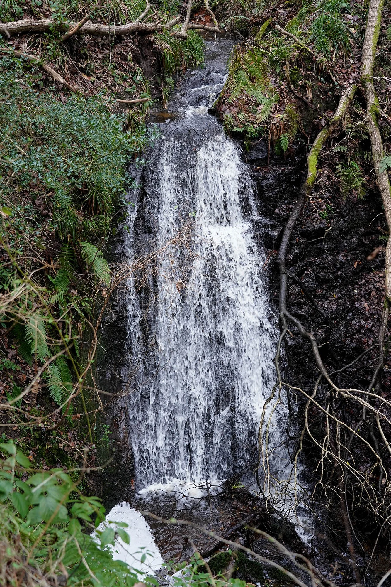
The first of several waterfalls down the Littlebeck Valley.
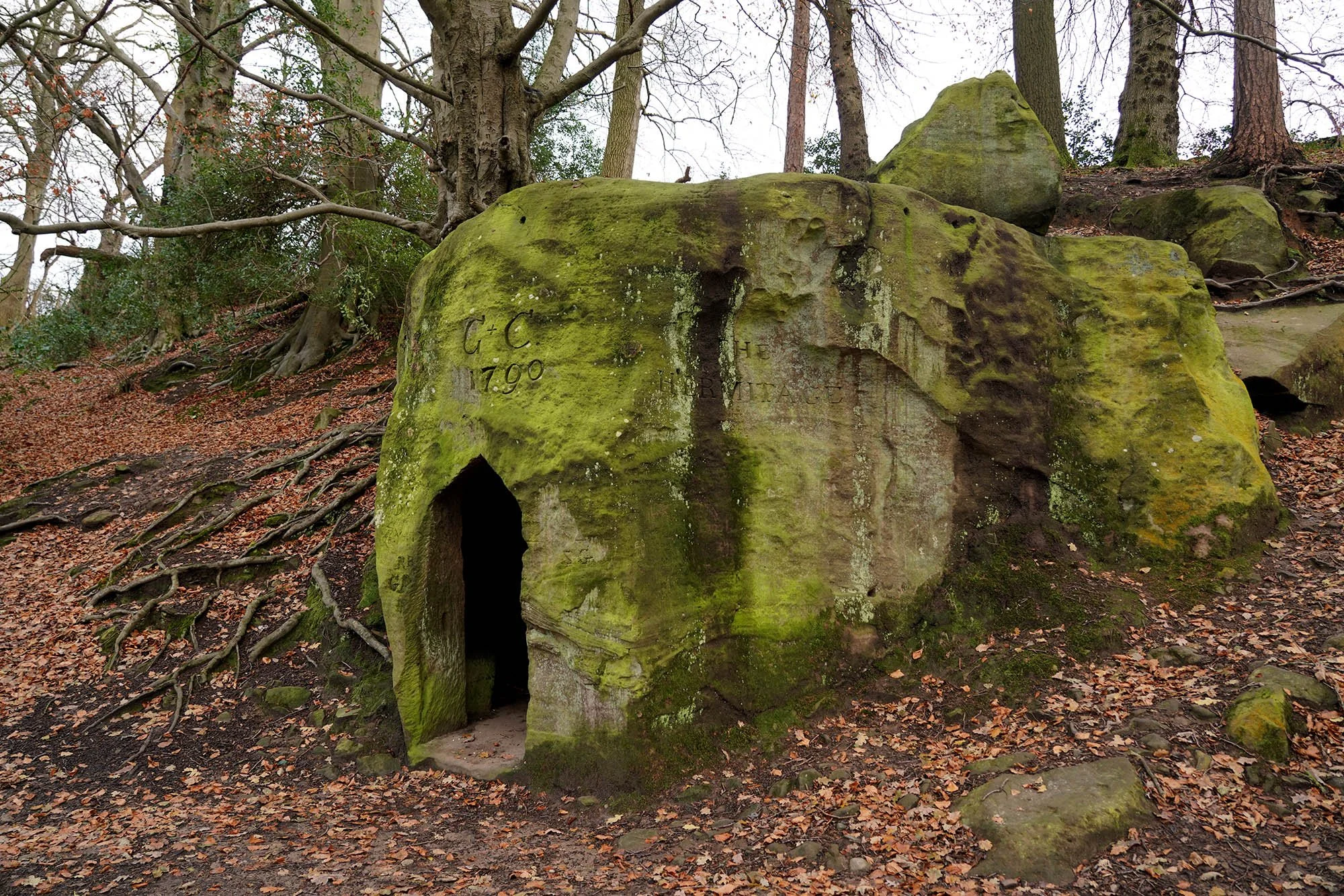
The Hermitage.
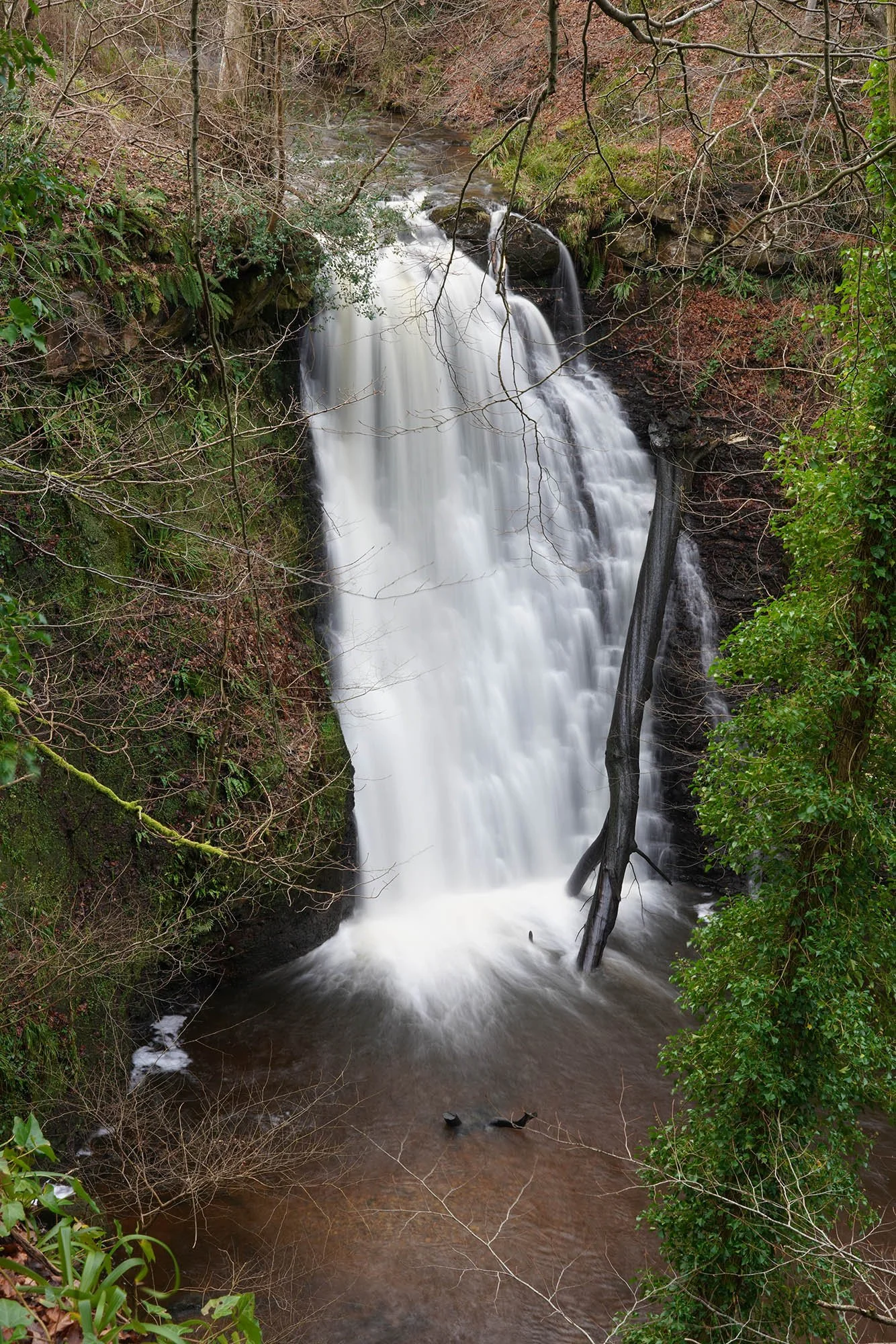
Falling Foss.
Leaving little beck and heading for Hawsker.
Day 16: Hawsker to Robin Hoods Bay - 7.2km (141m of Ascent)
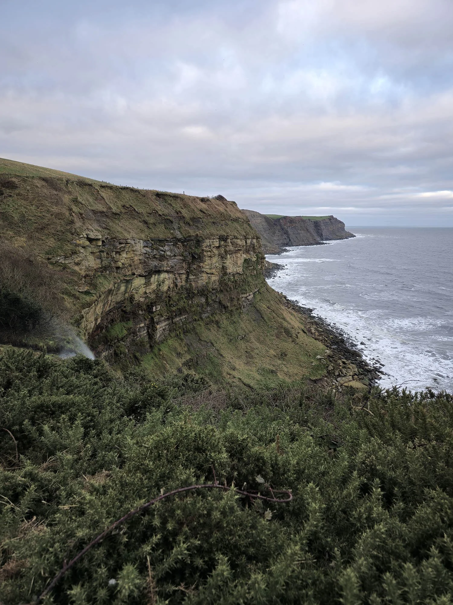
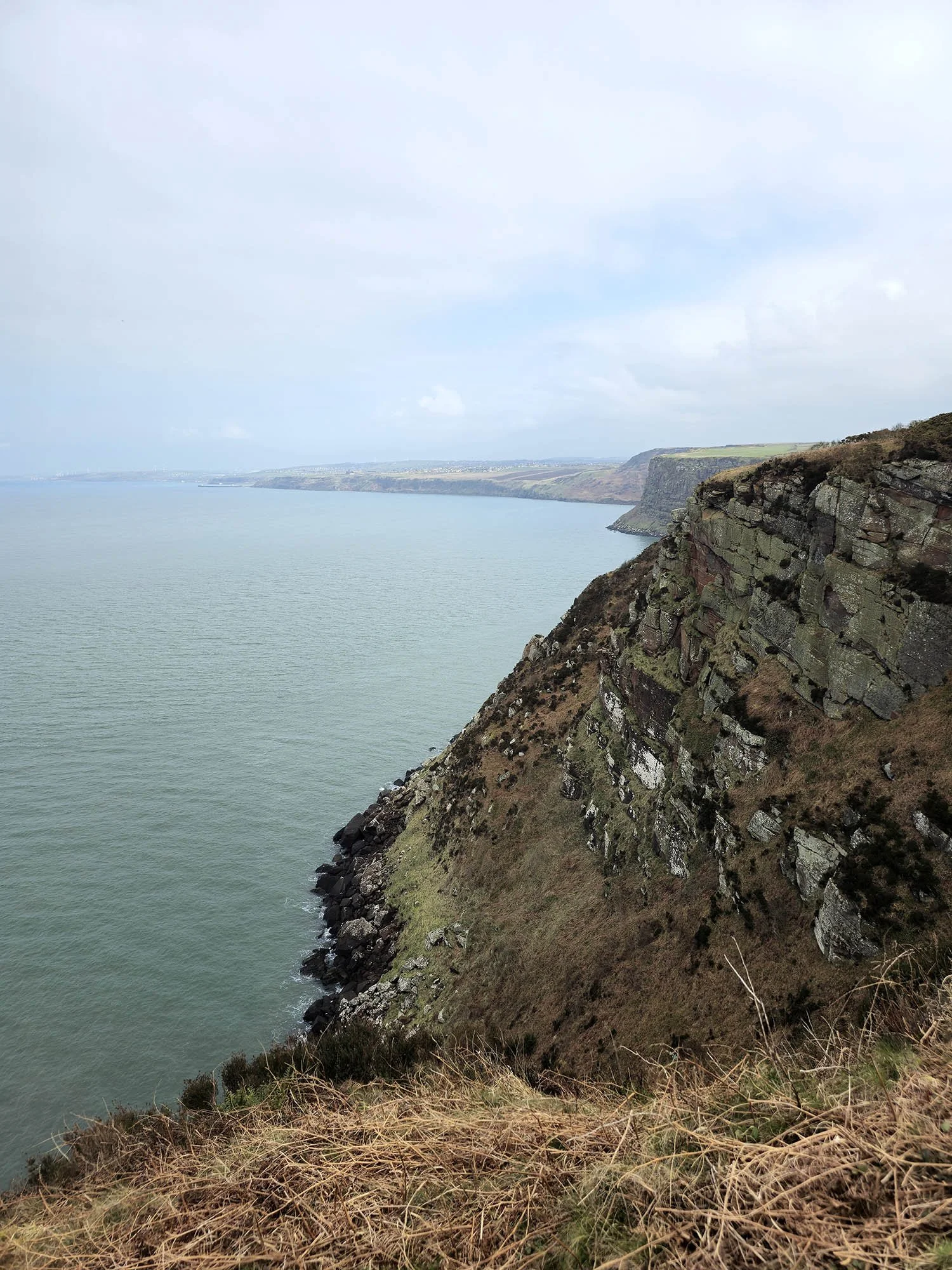
Just about 20 minutes after leaving Hawsker we join the coastal path north of Robin Hoods Bay. The final few miles follow the clifftop path.

Stunning Coastal Views.
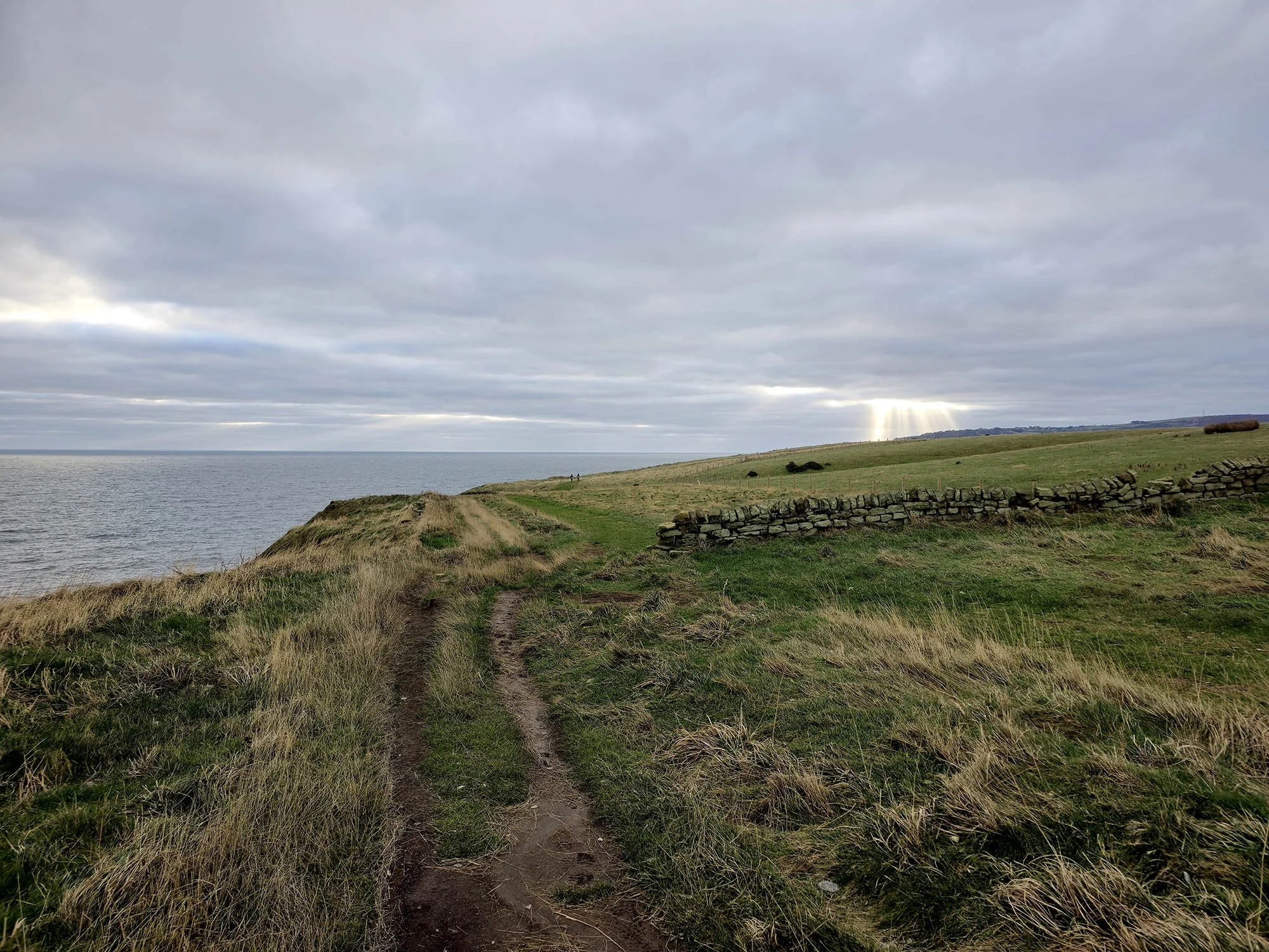
Sun rays piercing the clouds guide our way to Robin Hoods Bay.
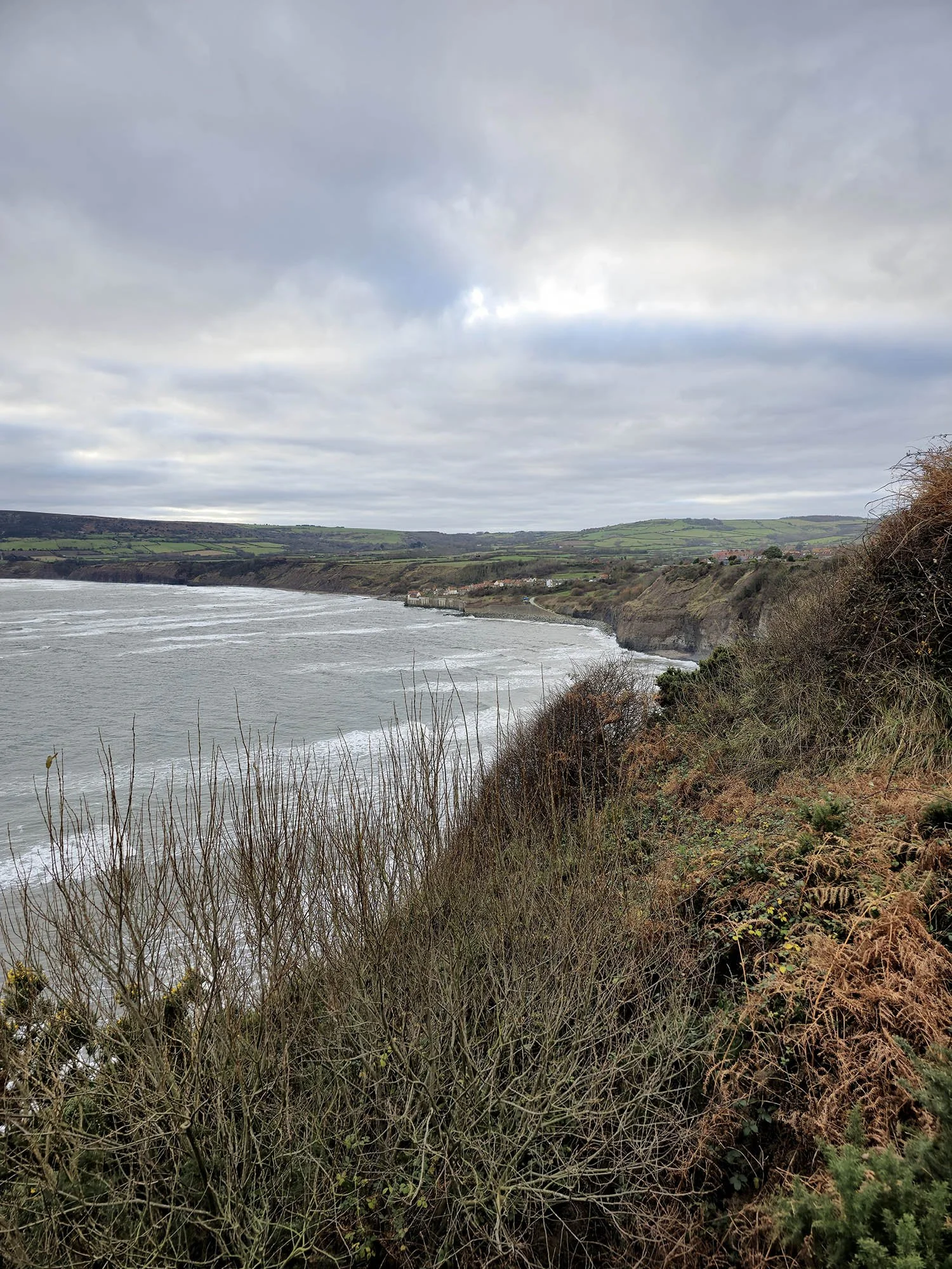
And there it is… Robin Hoods Bay.
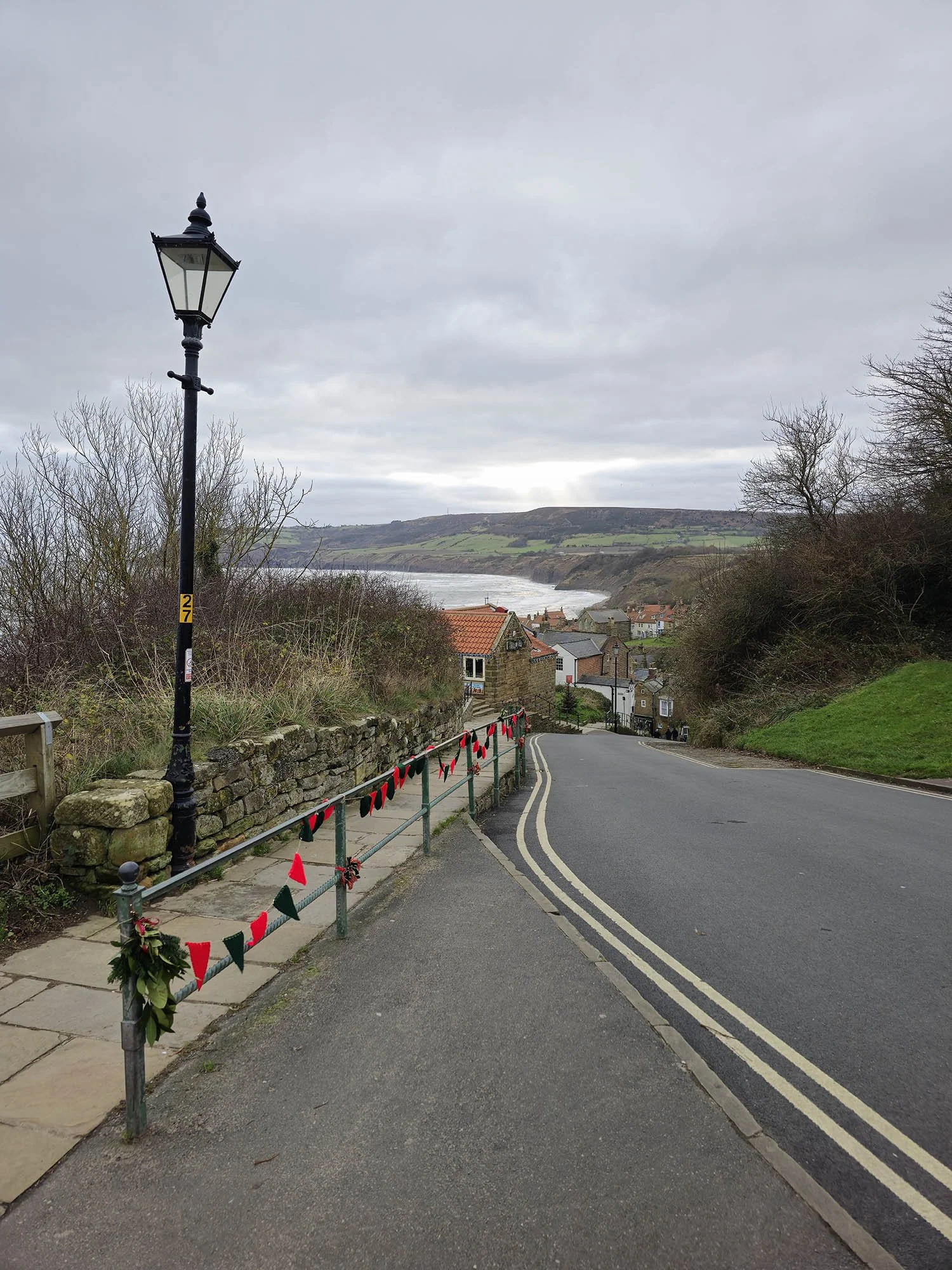
Descending down to the sea…
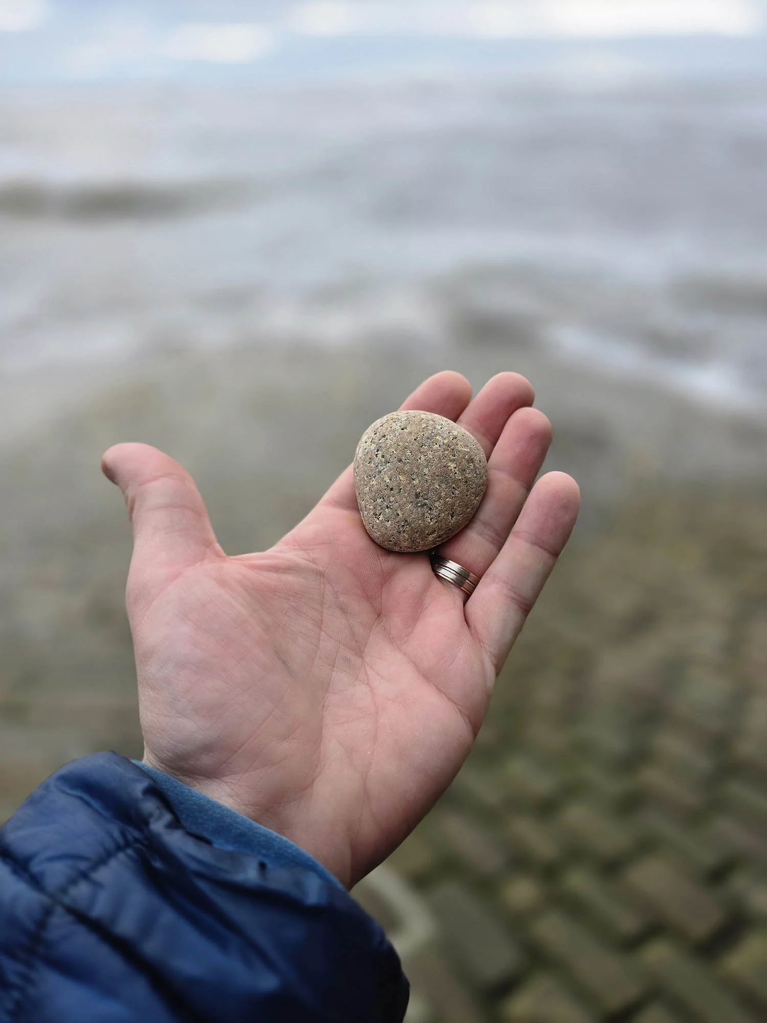
And that marks the end of the Coast to Coast. I threw my pebble in and spent some time reminiscing the trail before grabbing lunch in the village.
A sunning trail with incredible scenery and changing landscapes. No two days are the same and I will look forward the next time I walk the trail - which will hopefully be in a single trip rather than split over several trips!